Great Shunner Fell from Hardraw
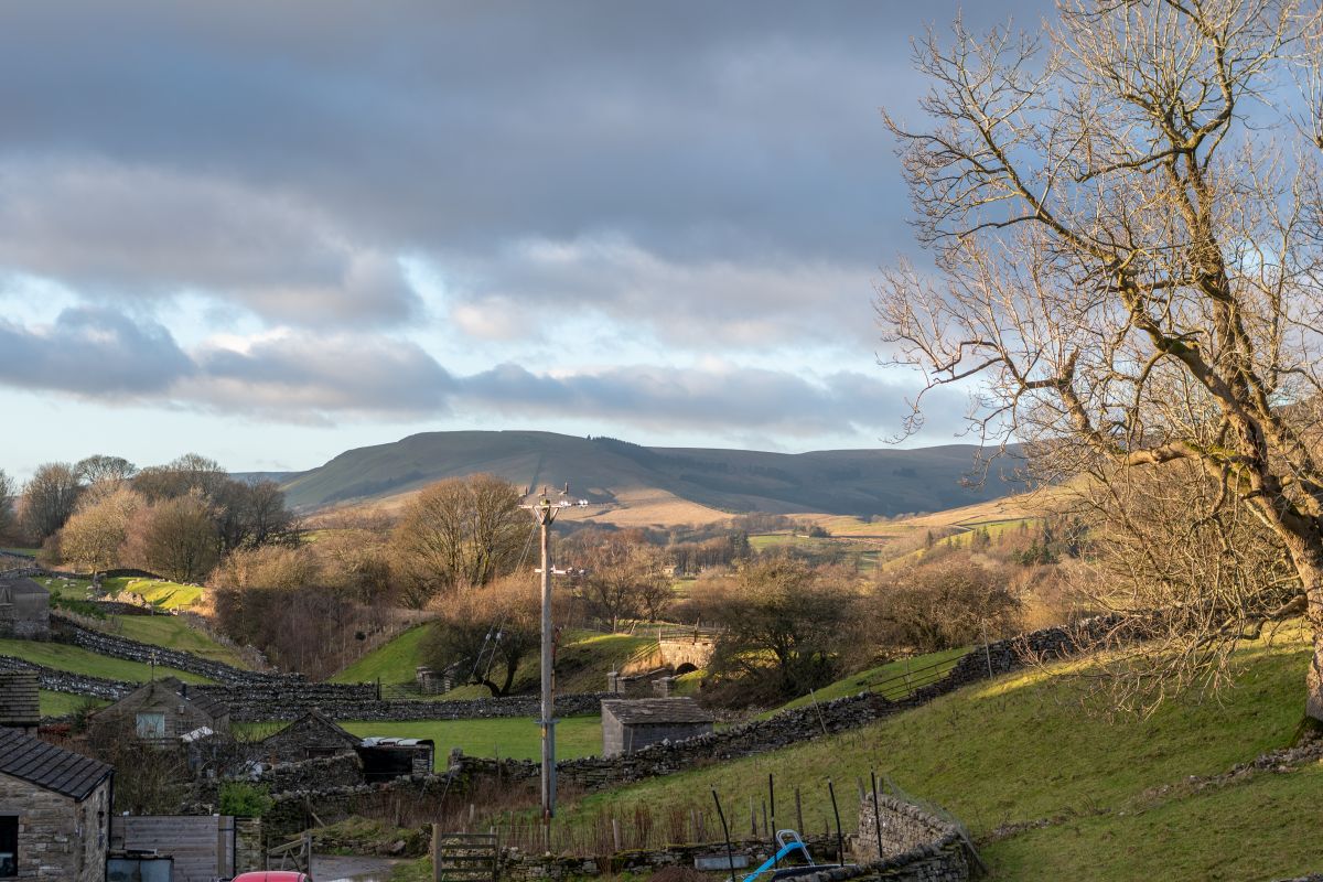
The third highest summit in the Yorkshire Dales, reached on the Pennine Way from Hardraw by an enclosed coal road and a flagged path, 18km out and back.
- 18 km
- 522 m up
- Moderate
Wensleydale's market town, on the Pennine Way.
Garsdale, on the Settle to Carlisle line, reached from there by bus
3
109
Hawes is the market town of upper Wensleydale, and its name comes from the Old Norse hals, a neck or pass between mountains, according to Wikipedia. William III granted it a market charter in 1699, and the Tuesday market it authorised is still held in the Market Hall. The Pennine Way passes through, and the Wensleydale Creamery, which Wikipedia puts at 224 staff in 2018 and 250,000 visitors a year, is the town’s largest employer. The Midland Railway’s Hawes branch reached the town in 1878 and closed to passengers in April 1954; the station building is now the Dales Countryside Museum, which the Yorkshire Dales National Park Authority runs.
The honest case for sleeping here is Wensleydale and the Pennine Way, not the best-known summits. Great Shunner Fell is the one hill day on the doorstep, and the park authority itself calls it “a big lumbering hill”; the Three Peaks and their sharper outlines lie to the south, nearer Settle and Ingleton. Hawes suits a week built around moorland, waterfalls and the dale itself, with a hill day from the village rather than several.
Two of the three activities can be walked from the town. Hardraw, where the Pennine Way begins its climb of Great Shunner Fell, is about 1.5km north of Hawes, and the Yorkshire Dales National Park Authority describes Hardraw Force as a short step off the line of the path. The gps-routes.co.uk description of the walk to the fall is about 1km there and back, through woodland beside Hardraw Beck, from the Green Dragon Inn, which owns the grounds and charges for entry. The Great Shunner Fell route that Mud and Routes measures is 18km with 522m of ascent from Hardraw; starting in Hawes adds 1.5km each way, which makes it a long day of about 21km.
Aysgarth Falls is different. It lies on the A684 about 9 miles east of Hawes in a straight line, and the walk starts from the park authority’s own pay and display car park and visitor centre. Without a car it needs a bus. DalesBus lists the Wensleydale Flyer 856 between Northallerton and Hawes on Sundays and bank holidays, calling at Leyburn and Aysgarth, and a summer Sunday Wensleydale Explorer 857 from Garsdale Station through Hawes to Askrigg and Castle Bolton. Check DalesBus before planning around either.
There is no railway station in Hawes. Wikipedia gives Garsdale, on the Settle to Carlisle line, as the nearest, and records that the station opened in 1876 as Hawes Junction, named for the branch to Hawes that closed in 1959. A community bus, the Little White Bus, runs from Garsdale Station to Hawes and Gayle via Hardraw, according to walkingintheyorkshiredales.co.uk, and Wikipedia says a bus meets selected trains. DalesBus also lists summer Sunday routes 830 and 831, which cross Buttertubs between Hawes and Swaledale.
The large pay and display car park in Station Yard is the obvious place to leave a car, and it is shared with the museum and National Park Centre. The A684 is the dale road. The Buttertubs road north to Swaledale starts at Simonstone near Hawes, and Wikipedia gives the limestone potholes that name the pass as 20m deep.
The nearest thing to an easy outing is Hardraw Force: about 1km there and back on a woodland path, with a stone bandstand in the amphitheatre below the fall. The park authority warns against walking behind the water, because the overhang is precarious, and the entry charge is the inn’s to publish. Aysgarth Falls asks for a drive, but the park authority describes a firm, wide path from the car park to the Middle Falls and a step-free viewing platform, on a route of 1.5km. The Lower Falls are down seventy steps. Back in town, the Dales Countryside Museum, which the park authority runs, has changing exhibitions and hands-on exhibits according to the Dales Countryside Museum site, a wet-day option beside the car park.
The Yorkshire Dales National Park Authority runs a large pay and display car park in Station Yard, beside the Dales Countryside Museum and the National Park Centre.
The A684 runs up Wensleydale from Leyburn through Aysgarth to Hawes. The Buttertubs road to Swaledale starts at Simonstone, near the town.
The third highest summit in the Yorkshire Dales, reached on the Pennine Way from Hardraw by an enclosed coal road and a flagged path, 18km out and back.
The River Swale's gorge below Keld in upper Swaledale, with Catrake Force, East Gill Force and Kisdon Force, on an 11km circuit via Muker.
A 702m summit above upper Wharfedale, climbed from Buckden to a wartime memorial cross and back by Starbotton and the Dales Way.
Places you can drive to, or reach in a few minutes from the car.
A single 30m plunge in a limestone amphitheatre behind the Green Dragon Inn at Hardraw, 1.5km north of Hawes, reached across private land for a fee.
Three limestone-stepped falls on the River Ure, with a firm, wide path from the National Park car park to the Upper and Middle Falls.
Booking links on these earn us a commission. The price you pay is the same either way.
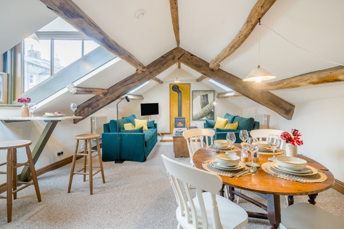
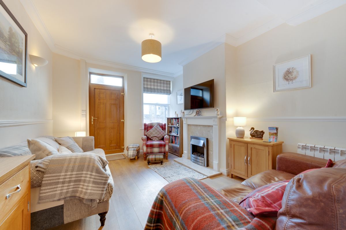
Hawes, Yorkshire
Sleeps 2 · 1 bed
from £575 / week
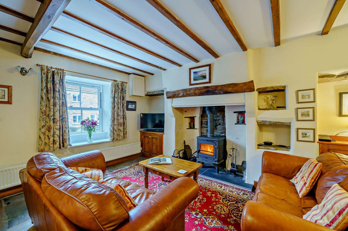
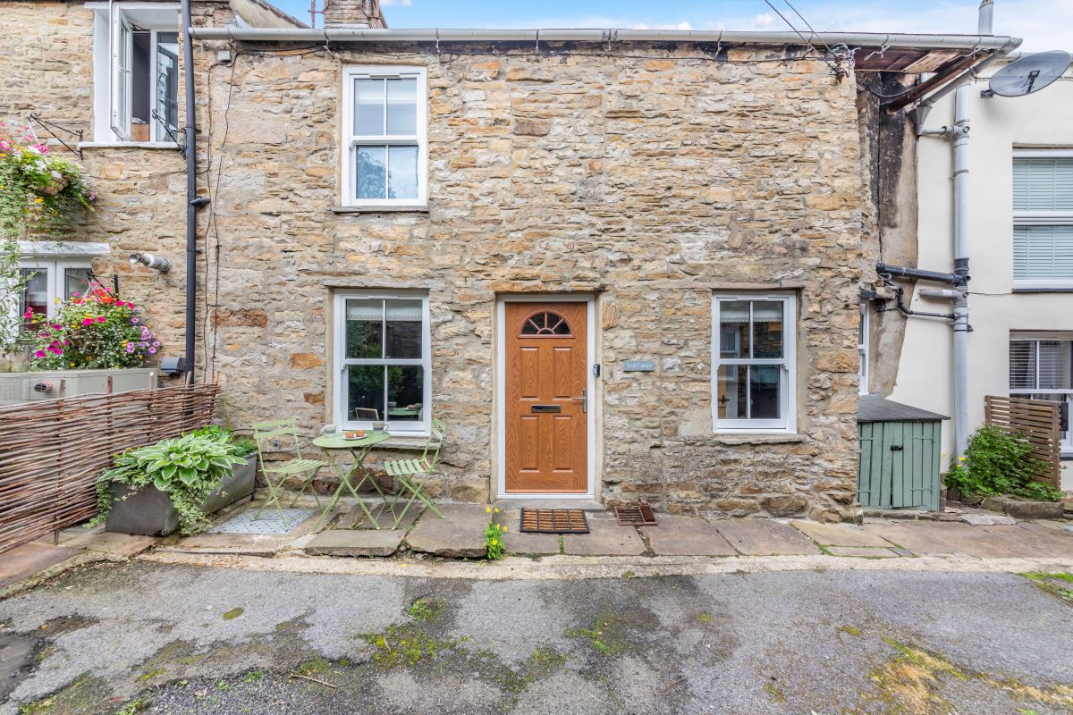
Check dates for Scott Cottage - Hawes (opens the booking site in a new tab)Checked 7 Oct
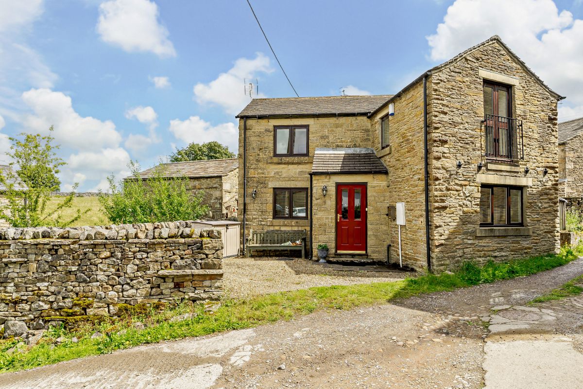
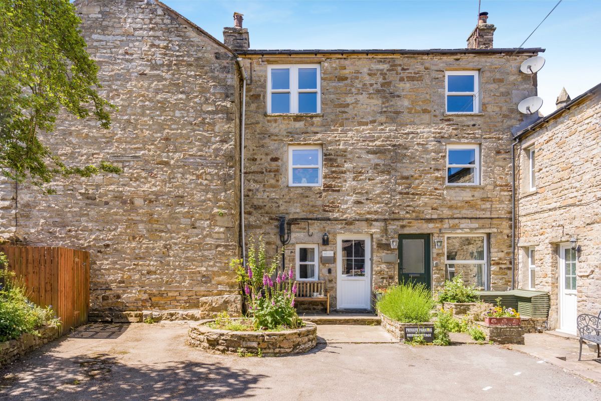
Hawes, Yorkshire
Sleeps 3 · 2 beds
from £610 / week
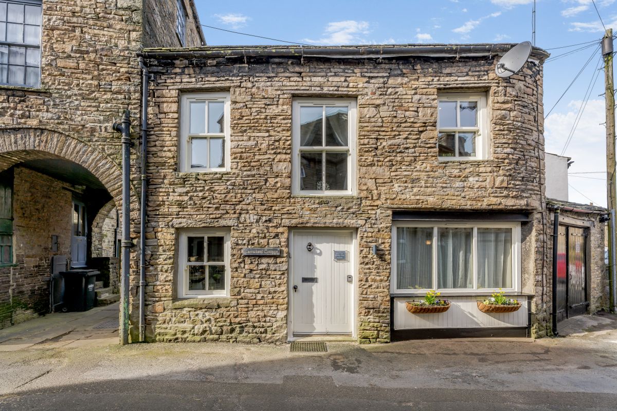
Check dates for Cartwheel Cottage (opens the booking site in a new tab)Checked 7 Oct