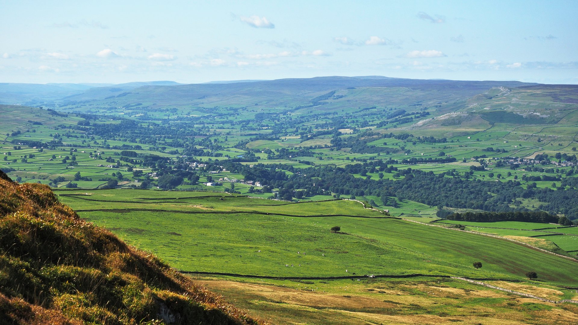
Penhill from West Burton
Near West Burton, Yorkshire Dales
- Distance
- 16 km
- Ascent
- 400 m
- Time
- 4 hr 40 min
- Difficulty
- Hard
- Summit
- 526 m
- Shape
- Circular
Start: West Burton village green, Bishopdale
Grid ref: SE 017 867
Penhill is the ridge that closes the southern side of Wensleydale and the northern side of Coverdale, and Wikipedia gives it as 526m at the trig point and 553m at Height of Hazely, further west. Its name says hill twice, a Brittonic word and an Old English one for the same thing, and local legend gave it a sheep-stealing giant. At the eastern end a turf mound marks a beacon of the Armada-era warning network, and on the northern flank Wikipedia places Penhill Preceptory, a priory that it dates from about 1142 to 1308-12.
Walkingworld’s route starts in West Burton, climbs to the top of Black Scar Crags and follows the edge across to the large cairn at Penhill Beacon, then returns with what its author calls a couple of steep descents. Wikipedia lists the usual approaches as footpaths from West Witton, a bridleway from the Melmerby road, and open access land from the south, so this is the longer way up and it keeps to the Bishopdale side of the hill. Paul Beal’s shorter circuit from West Witton, drawn on Ordnance Survey Explorer OL30, describes the path above Penhill Scar as narrow but well defined, with a dry stone wall to keep on the left, and a trig pillar on the far side of that wall.
Walkingworld gives the walk as about 16km with 400m of height gain and a stated duration of 4 hours 40 minutes, and grades it strenuous. That suits a walker comfortable with a full day on moorland and an exposed edge, who wants the whole shape of the hill rather than a quick top. A short outing or a walker uneasy beside a drop in poor visibility will want something else; for a waterfall and a firm path instead, Aysgarth Falls is about 2km from West Burton in a straight line.
Underfoot
Walled tracks and field paths to open moorland, then an edge path above Penhill Scar with steep drops on the northern side; the guide warns of two steep descents on the return.
Stay within reach of the start
Booking through these links earns a commission. The price is the same.
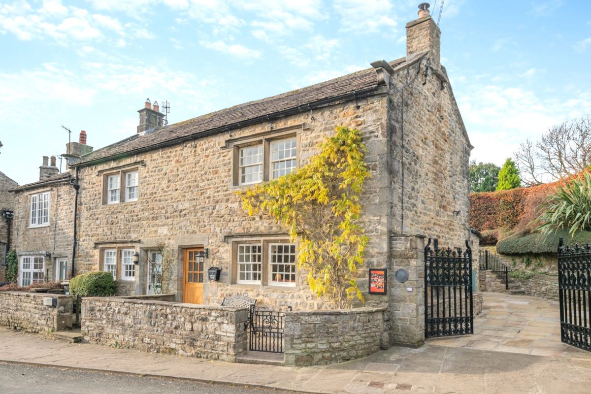
West Burton, near Aysgarth, Yorkshire
Inglenook Cottage - Leyburn
Sleeps 4 · 2 beds
- Wood burner
- No dogs
from £775 / week
Check dates for Inglenook Cottage - Leyburn (opens the booking site in a new tab)Checked 7 Oct
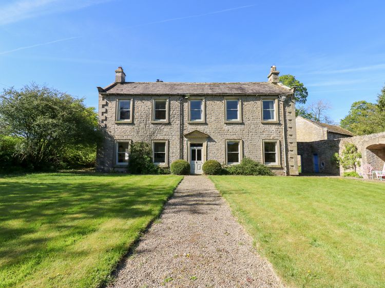
West Burton near Leyburn
Flanders Hall
Sleeps 12 · 6 beds
- Wood burner
- Dogs
from £1,260 / week
Check dates for Flanders Hall (opens the booking site in a new tab)Checked 9 Oct
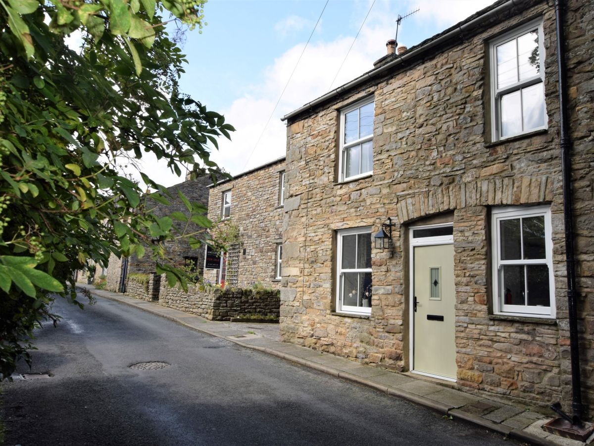
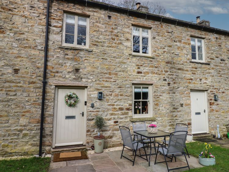
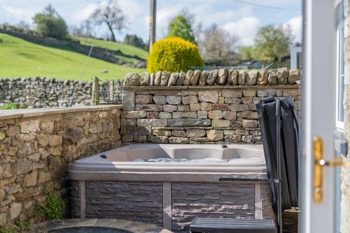
West Burton, near Aysgarth, Yorkshire
Well Cottage - West Burton
Sleeps 6 · 3 beds
- Hot tub
- Wood burner
- Dogs
from £1,215 / week
Check dates for Well Cottage - West Burton (opens the booking site in a new tab)Checked 7 Oct
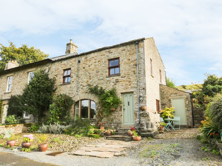
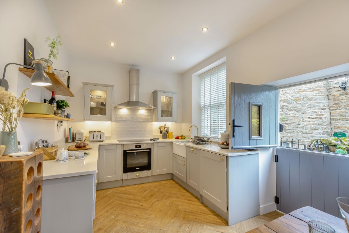
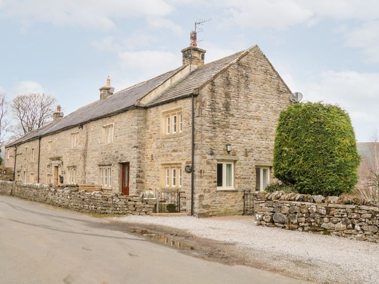
Newbiggin near Leyburn
Eastburn Cottage
Sleeps 7 · 4 beds
- Wood burner
- No dogs
from £714 / week
Check dates for Eastburn Cottage (opens the booking site in a new tab)Checked 9 Oct
Distances, ascent and times here are planning figures taken from published sources, not a route description to navigate by. Take a map and check the forecast.