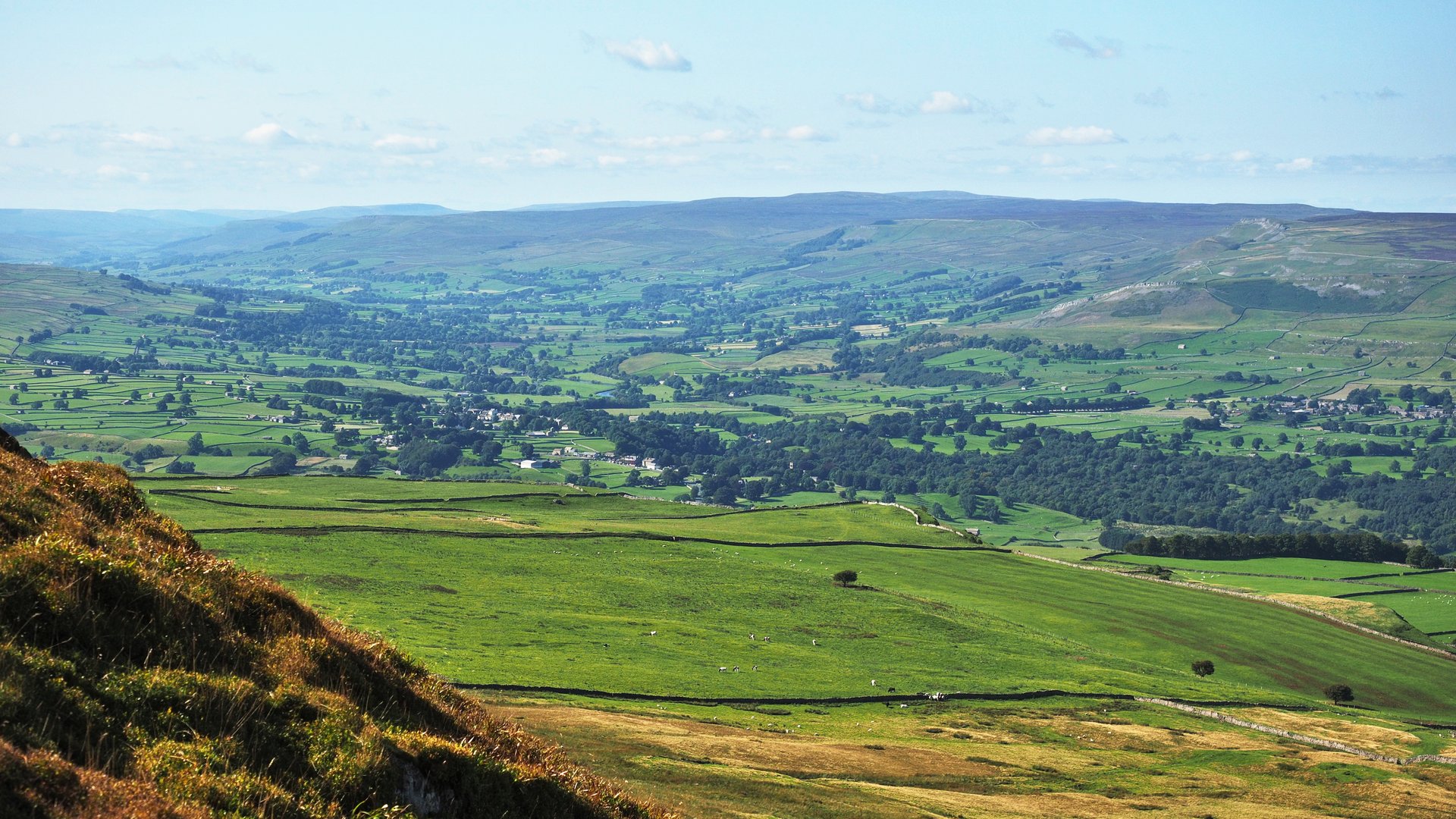
Penhill from West Burton
A 526m ridge between Wensleydale and Coverdale, climbed from West Burton to Black Scar and followed along its northern edge, about 16km in all.
- 16 km
- 400 m up
- 4 hr 40 min
- Hard
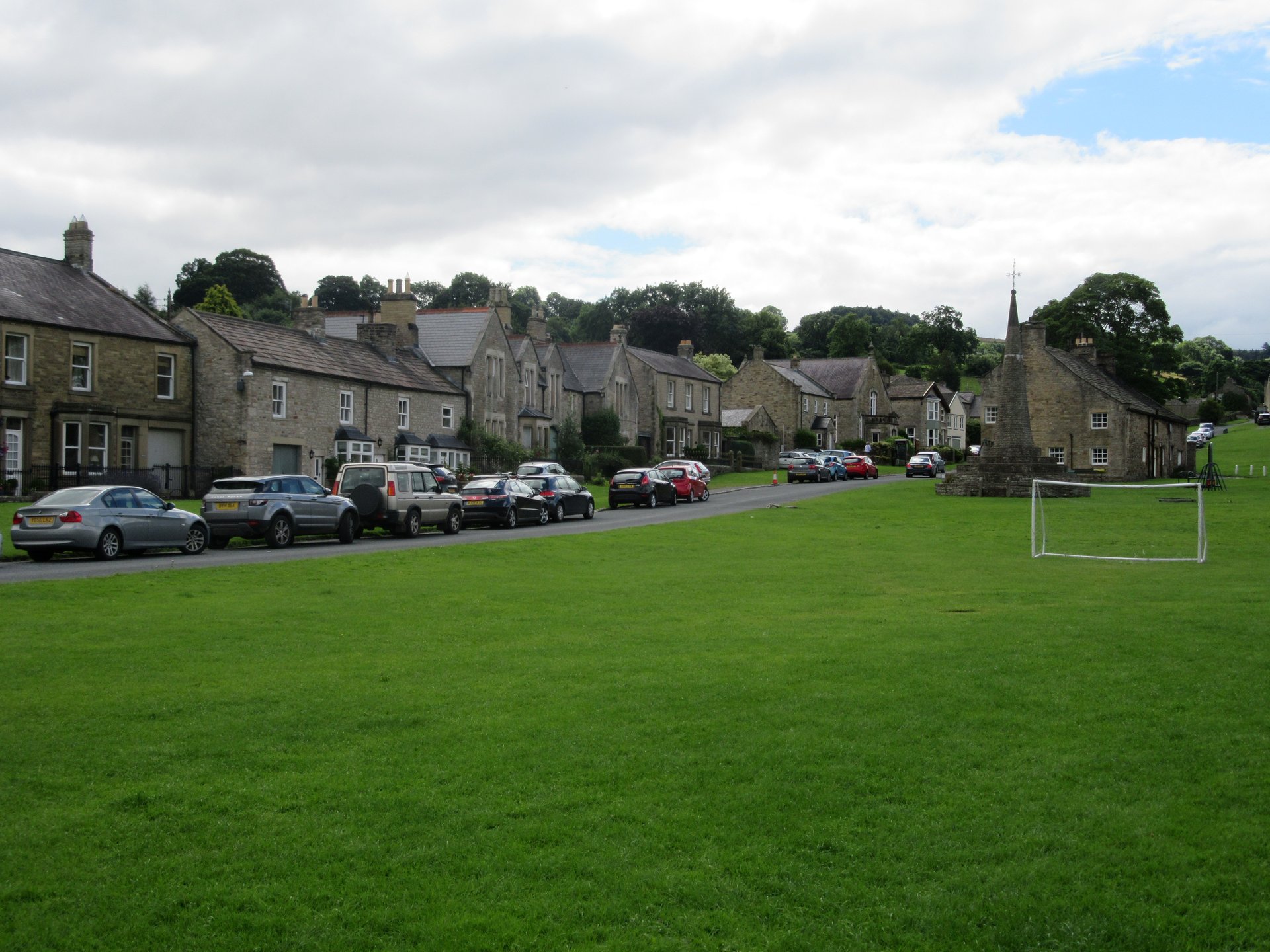
A Bishopdale village green under Penhill.
Leyburn
On the Wensleydale Railway, a heritage line; the main-line station is Northallerton.
2
118
West Burton is a village in Bishopdale, a side valley of Wensleydale, 6.2 miles south-west of Leyburn according to Wikipedia. The name comes from the Old English for a fortified farm, and the village was once an important local centre: an octagonal obelisk and stocks still stand on the green. Cauldron Force, also called West Burton Falls, is a small waterfall in the village, a short walk from the centre of the green.
The case is the hill above and the falls beside. Penhill rises over the village, and the walk from the green to Black Scar and the edge is about 16km with 400m of ascent on Walkingworld’s figures. Aysgarth Falls is about 2km away in a straight line, and Wikipedia puts Aysgarth, Newbiggin and Thoralby all about a mile from the village. Happy Hiker calls the green impressive and the waterfall well worth the short diversion. Buckden Pike is about 12km away in a straight line, which makes it a drive rather than a walk from here. The honest summary is one proper hill day and one waterfall, in a quiet village, not a spread of summits.
Penhill starts on foot from the green. Walkingworld’s route leaves West Burton and climbs to the top of Black Scar Crags, so no car is needed for the hill. Aysgarth Falls is about 2km away in a straight line, and its visitor centre and car park are run by the national park authority, as the falls page describes. Buckden Pike starts in upper Wharfedale and needs a car: the Buckden car park is the start of the route on its page.
There is no station in the dale. Wikipedia describes Leyburn station as on the Wensleydale Railway, a heritage line, and Northallerton as the main-line station at the far end of that line. DalesBus carries the Little White Bus timetable for the Wensleydale Voyager 156, which lists West Burton as a stop between Leyburn and Hawes. The B6160 is the road through the village, and Wikipedia lists a butcher, a small pottery, a general store and a public house. Check DalesBus before relying on any bus for a walk.
Anyone who wants a choice of summits will find one hill and an outlier. For the Three Peaks and a railway station, Ingleton is the better base; for upper Wharfedale and the road to Buckden Pike, Kettlewell; for the market, the museum and the Pennine Way, Hawes.
The B6160 runs through the village; two other roads leave it, both dead ends, one towards Walden and Walden Head.
A 526m ridge between Wensleydale and Coverdale, climbed from West Burton to Black Scar and followed along its northern edge, about 16km in all.
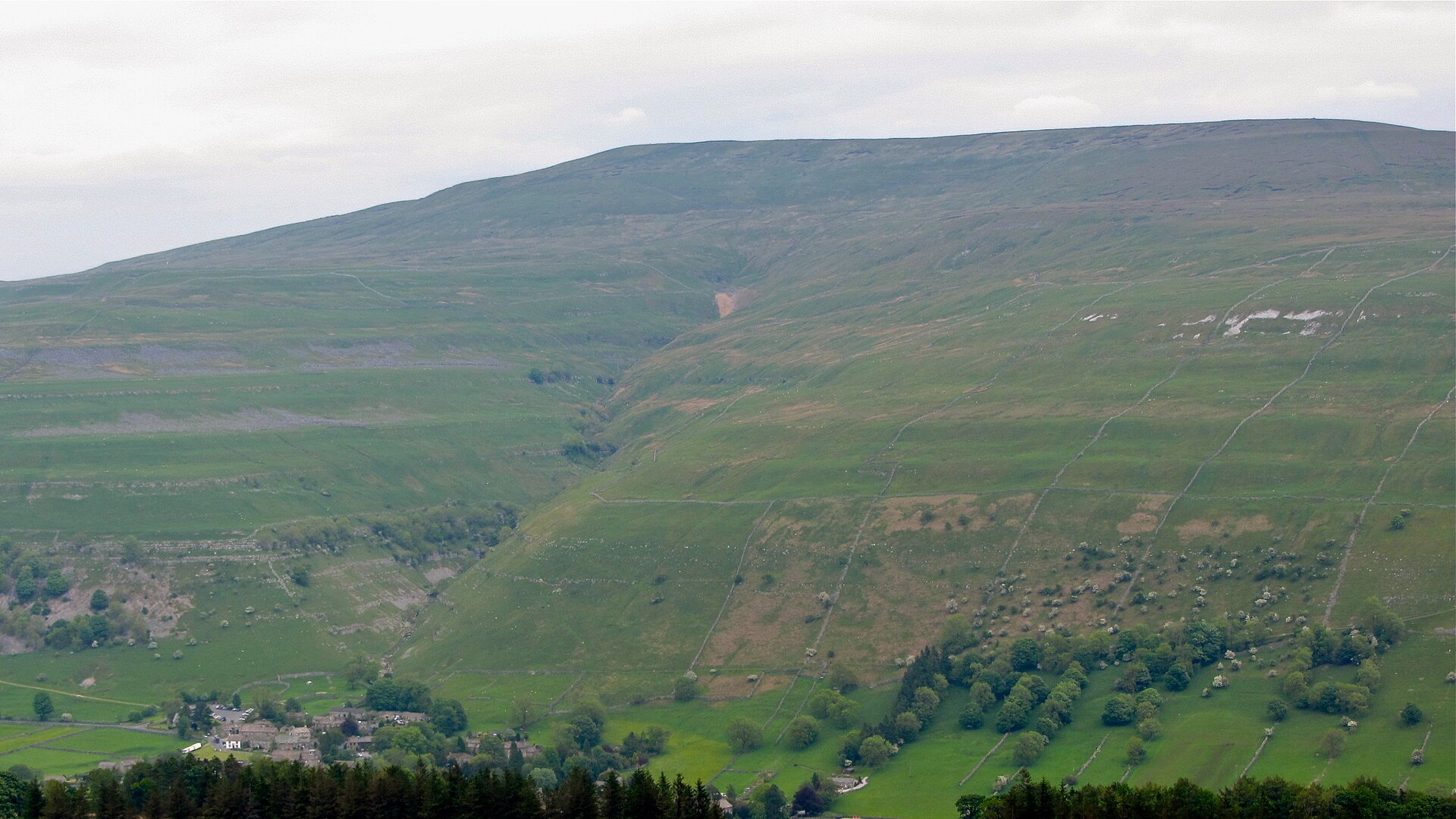
A 702m summit above upper Wharfedale, climbed from Buckden to a wartime memorial cross and back by Starbotton and the Dales Way.
Reached by car, by lift or by a short walk, rather than a day on the hill.
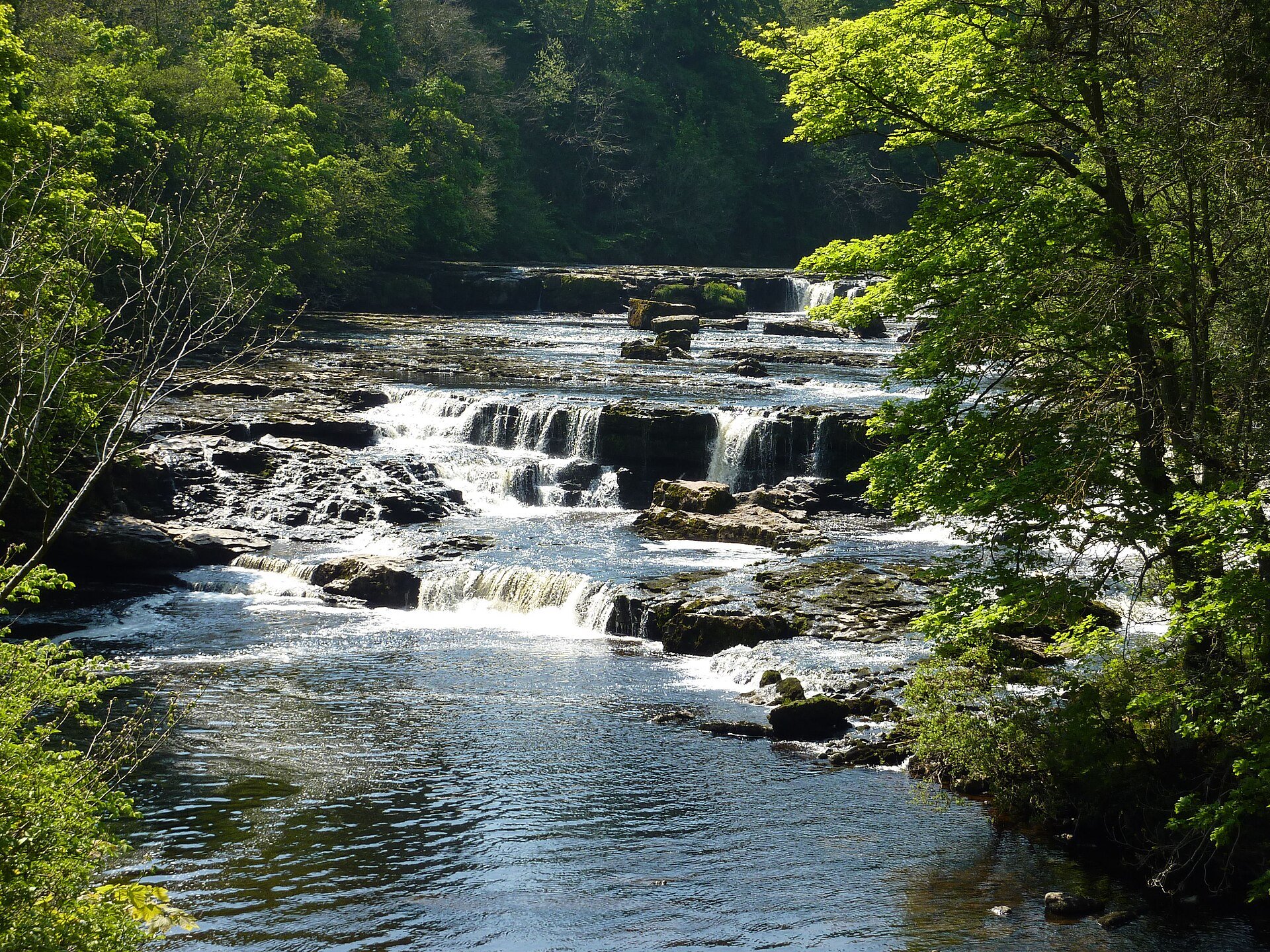
Three limestone-stepped falls on the River Ure, with a firm, wide path from the National Park car park to the Upper and Middle Falls.
Booking through these links earns a commission. The price is the same.
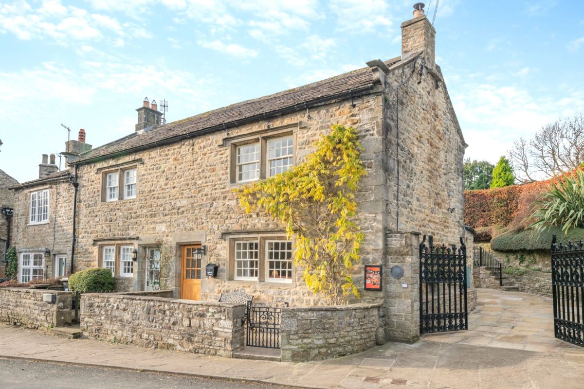
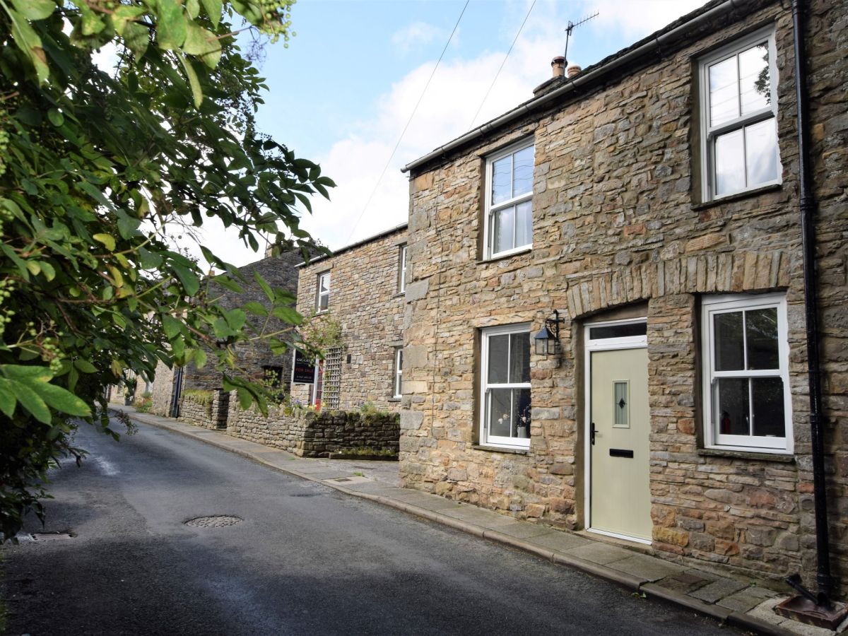
West Burton, near Aysgarth, Yorkshire
Sleeps 4 · 2 beds
from £775 / week
Check dates for Inglenook Cottage - Leyburn (opens the booking site in a new tab)Checked 7 Oct
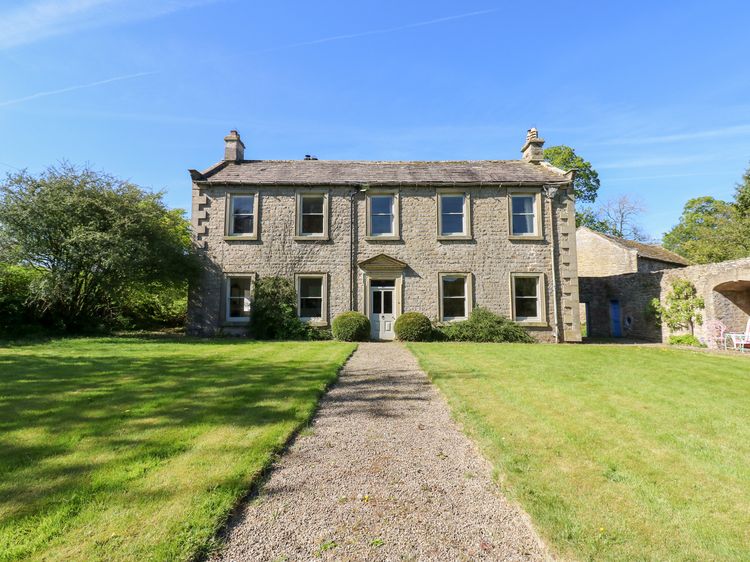
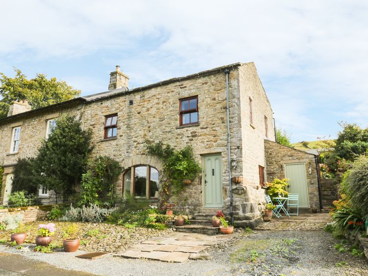
West Burton near Leyburn
Sleeps 12 · 6 beds
from £1,260 / week
Check dates for Flanders Hall (opens the booking site in a new tab)Checked 9 Oct
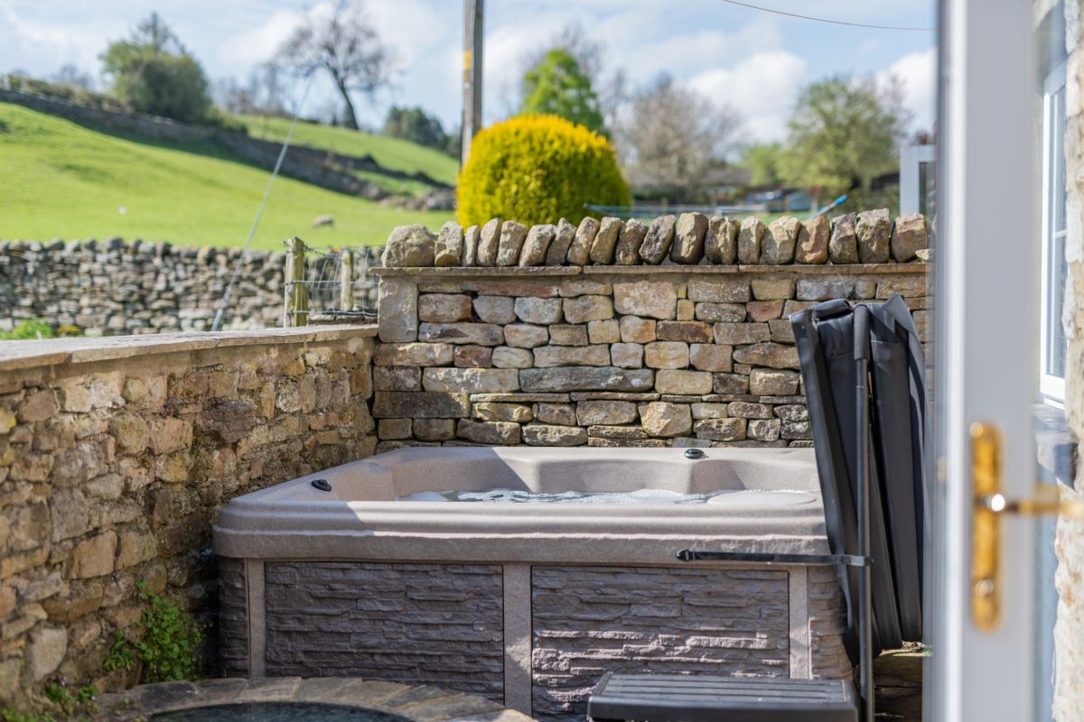
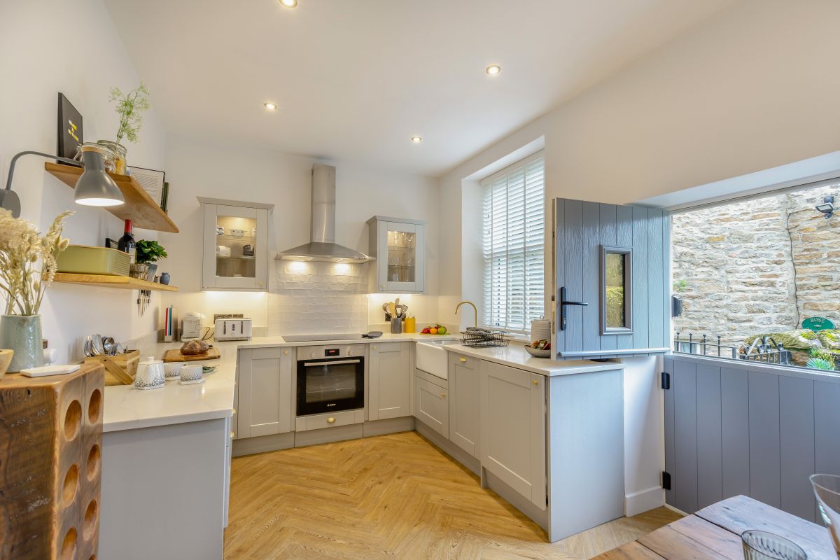
West Burton, near Aysgarth, Yorkshire
Sleeps 6 · 3 beds
from £1,215 / week
Check dates for Well Cottage - West Burton (opens the booking site in a new tab)Checked 7 Oct
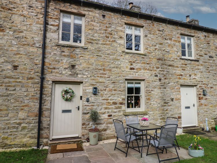
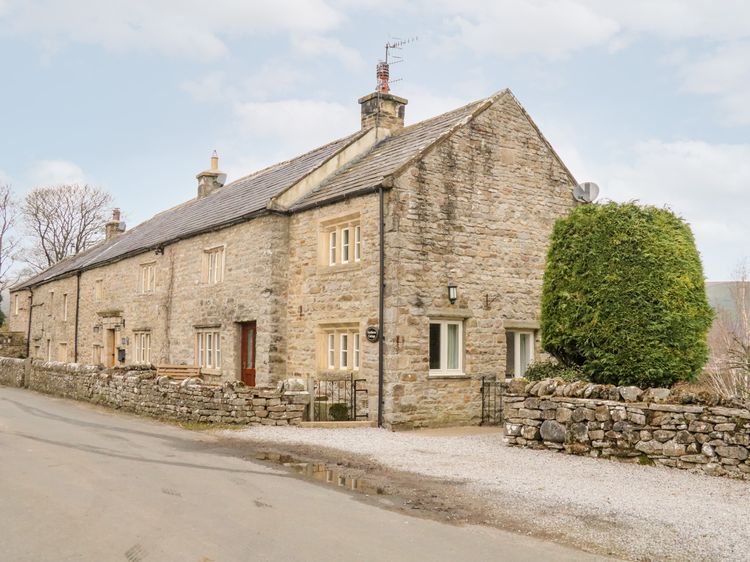
Newbiggin near Leyburn
Sleeps 7 · 4 beds
from £714 / week
Check dates for Eastburn Cottage (opens the booking site in a new tab)Checked 9 Oct