Buckden Pike from Buckden
A 702m summit above upper Wharfedale, climbed from Buckden to a wartime memorial cross and back by Starbotton and the Dales Way.
- 17.1 km
- 576 m up
- 6 hr 40 min
- Moderate
Beneath Great Whernside, with Buckden Pike a day away.
Skipton, reached by the daily 72 bus to Grassington and the Monday to Saturday 72B minibus on to Kettlewell
2
23
Kettlewell is a village in Upper Wharfedale, 6 miles north of Grassington, with 321 residents in the civil parish of Kettlewell with Starbotton at the 2021 census, according to Wikipedia. Yorkshire-Dales.com places it at the foot of Great Whernside, just north of Kilnsey, and says a very steep single-track road leads up Park Rash and over the moors between Buckden Pike and Great Whernside into Coverdale. Wikipedia says St Mary’s Church stands on a site that dates back to 1120, when the Norman de Arches family established a church there, and the building itself was rebuilt in the nineteenth century.
The two hills above Kettlewell are the ones that define the upper dale. Wikipedia gives Great Whernside as 704m and the highest point on the eastern flank of Wharfedale above the village, with a public footpath from Kettlewell to its summit registered in 1997. Buckden Pike rises to 702m across the Park Rash road, and the village has three inns, the Racehorses Hotel, the Bluebell Inn and the King’s Head, all offering rooms on Wikipedia’s account. This site lists one walk joined to Kettlewell, so it is a base for someone who wants to learn two hills well rather than sample twelve.
Buckden Pike can start from the village door. Walking Englishman’s circuit leaves Kettlewell, climbs Top Mere Road across Starbotton Fell to the memorial cross and trig point, drops to Starbotton and returns beside the River Wharfe, 17.4km with 580m of ascent; it grades the day hard and puts it at five hours. The route this site describes starts instead at the car park in Buckden, about 3½ miles up the dale by the two grid references, and runs 17.1km with 576m of ascent, so it needs the B6160 or the bus. Either way the descent comes into Starbotton, 3km north of Kettlewell, by the Cam Road, which Wikipedia says the national park authority has closed to motor vehicles.
Kettlewell has no railway station. DalesBus lists the 72 from Skipton to Grassington seven days a week, with the 72B minibus continuing to Kilnsey, Kettlewell and Buckden Monday to Saturday, and the 874 running on Sundays and bank holidays between Wetherby, Leeds, Ilkley, Grassington, Kettlewell and Buckden. The 875 and 876 reach Hawes on summer Sundays. The national park authority runs the pay and display car parks at both Kettlewell and Buckden, and the 72B calls at each, so a walker without a car can start the Buckden circuit from the Buckden stop.
The Yorkshire Dales National Park Authority runs a pay and display car park in the village, with public toilets.
The B6160 runs up Wharfedale through Kettlewell to Starbotton and Buckden; the single-track road over Park Rash to Coverdale is very steep.
A 702m summit above upper Wharfedale, climbed from Buckden to a wartime memorial cross and back by Starbotton and the Dales Way.
A 7.2km circuit from Malham village to Janet's Foss, the Gordale Scar gorge and the 70m limestone cliff of Malham Cove, with 400 steps to its pavement.
Booking links on these earn us a commission. The price you pay is the same either way.
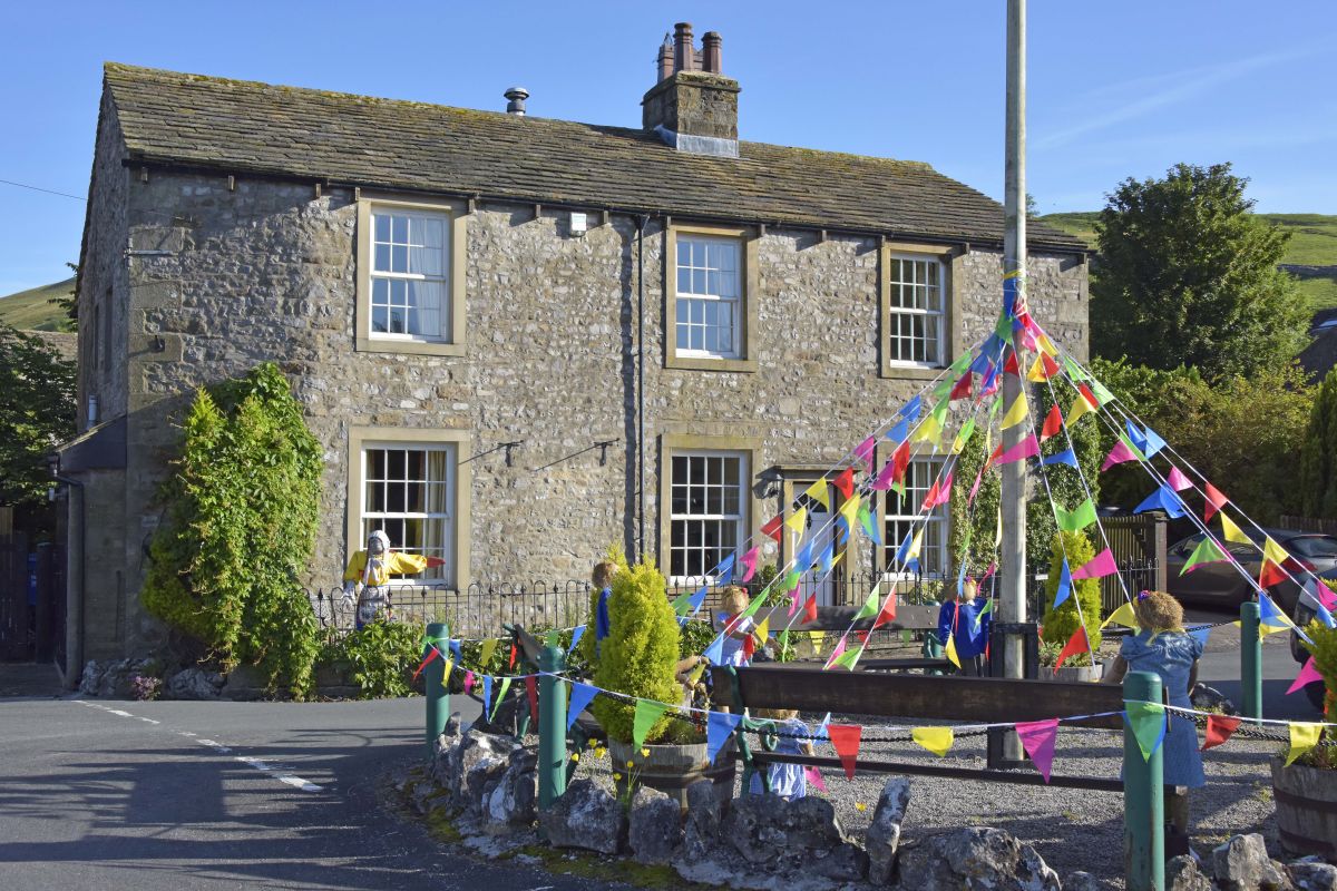
Kettlewell, near Skipton, Yorkshire
Sleeps 4 · 2 beds
from £623 / week
Check dates for Amerdale Cottage (opens the booking site in a new tab)Checked 7 Oct
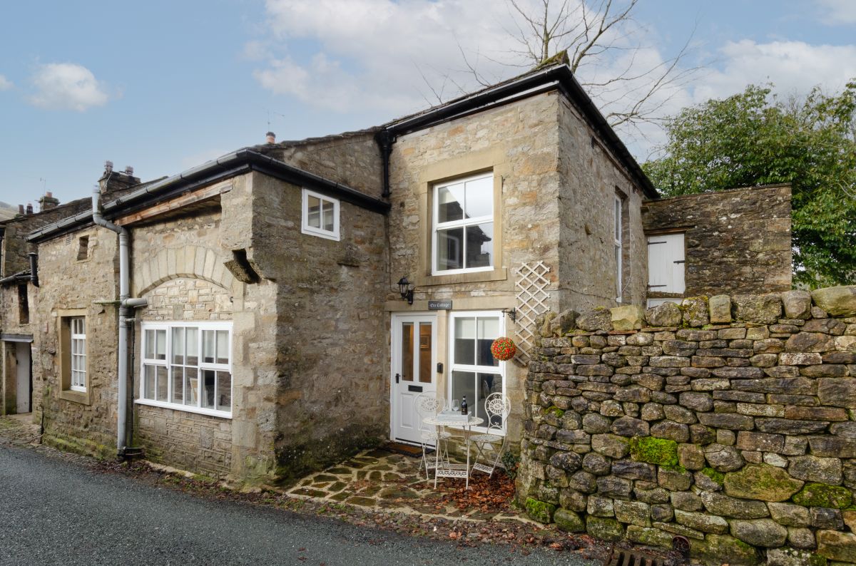
Kettlewell, near Skipton, Yorkshire
Sleeps 3 · 2 beds
from £611 / week
Check dates for Wayside Cottage - Kettlewell (opens the booking site in a new tab)Checked 7 Oct
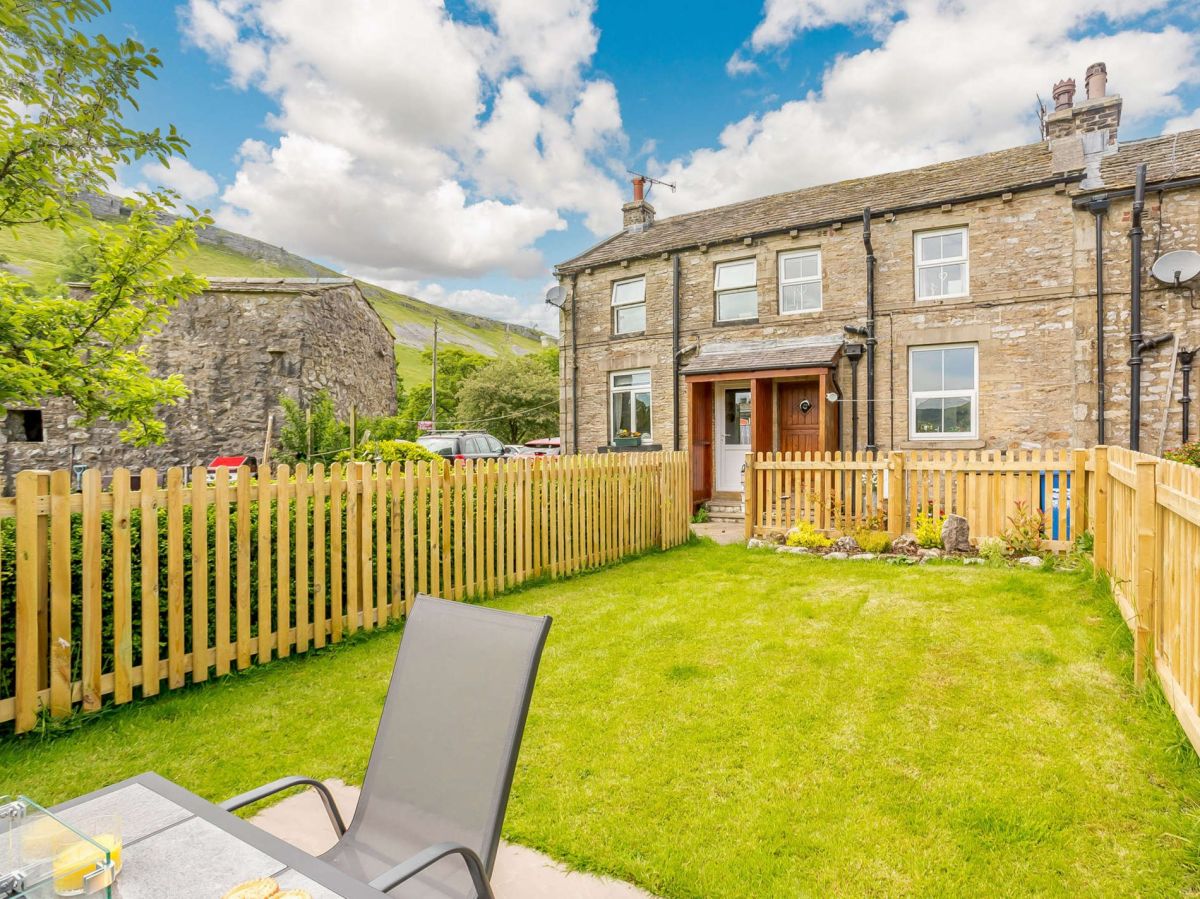
Starbotton, near Skipton, Yorkshire
Sleeps 8 · 4 beds
from £1,393 / week
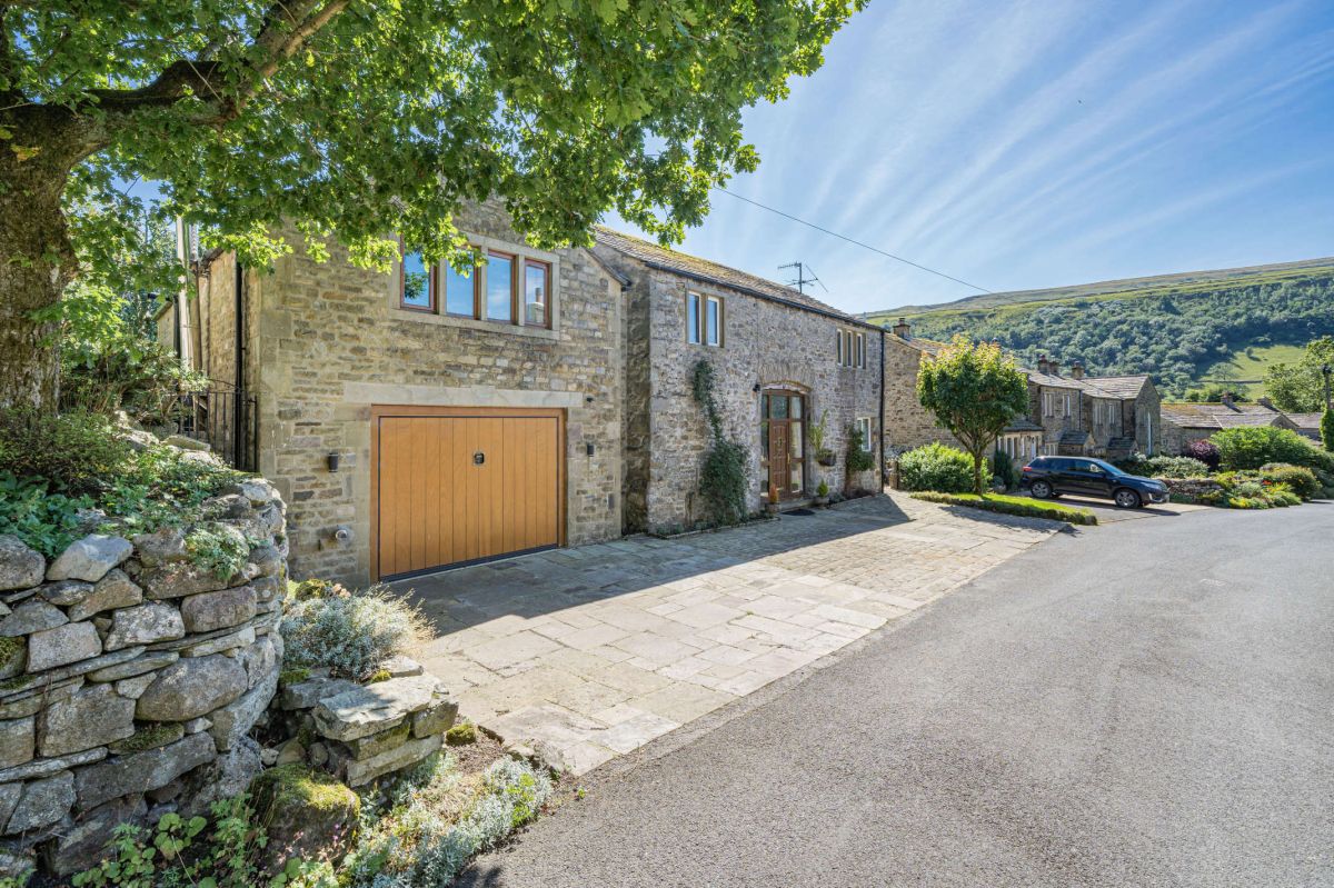
Check dates for Oak Barn - Starbotton (opens the booking site in a new tab)Checked 7 Oct
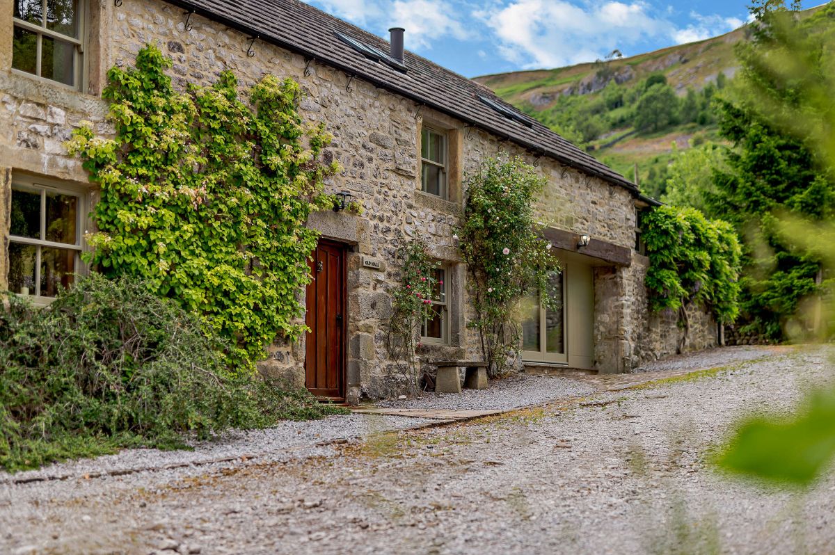
Starbotton, Yorkshire
Sleeps 6 · 4 beds
from £1,027 / week
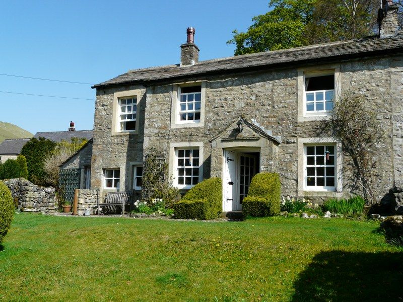
Check dates for Croft House - Kettlewell (opens the booking site in a new tab)Checked 7 Oct
Starbotton, near Skipton, Yorkshire
Sleeps 4 · 2 beds
from £687 / week
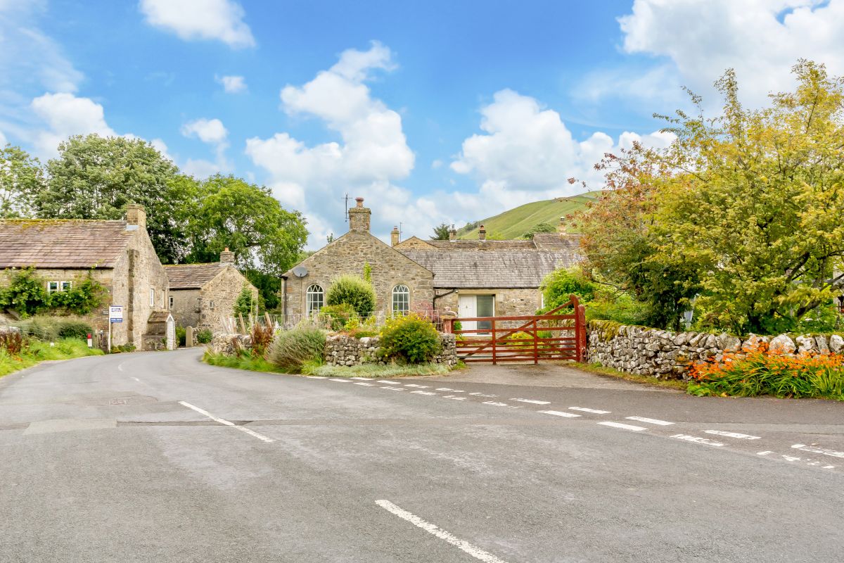
Check dates for The Old Chapel - Starbotton (opens the booking site in a new tab)Checked 7 Oct