Buckden Pike from Buckden
Near Kettlewell, Yorkshire Dales
- Distance
- 17.1 km
- Ascent
- 576 m
- Time
- 6 hr 40 min
- Difficulty
- Moderate
- Summit
- 702 m
- Shape
- Circular
Start: Buckden village car park, Upper Wharfedale
Grid ref: SD 942773
Buckden Pike stands at 702m above the head of upper Wharfedale, and on 30 January 1942 a Wellington bomber of the Polish Air Force’s 18th Operational Training Unit, flying from RAF Bramcote, struck the wall along its ridge. Aircrashsites.co.uk, which records the loss of Wellington N2848, lists six crew; five died. The rear gunner, Jozef Fusniak, followed a fox’s tracks off the hill in the snow and was found near Cray by Nannie Parker, and he was awarded the British Empire Medal that May. Wikipedia records that he made the memorial cross himself, with local help, and finished it on 8 August 1973; a bronze fox sits at its foot.
Walking Britain’s route from the large car park in Buckden (Ordnance Survey grid reference SD 942773) climbs by Buckden Rake through Rakes Wood to the top, which has a concrete trig point in a pile of stones. From there it follows the watershed wall south to the memorial cross, then drops by Cam Head along the Starbotton Cam Road into Starbotton and returns on the Dales Way beside the River Wharfe. It notes that some stretches of path are boggy after rain but that all of them can be avoided.
A shorter version exists. Where2walk gives an out-and-back of 10.4km and 440m, signposted from the lane north of the pub toward the lead mines, and describes the ascent as a wide straightforward path with a steeper, fainter descent past the mine remains. Walking Britain’s full circuit is 17.1km with 576m of ascent, graded moderate at around six hours forty minutes.
Either way, the day suits walkers who like open moorland with a purpose at the end of it and are content with a rounded summit rather than a ridge. Anyone after a low-level outing, or uneasy at following a wall across featureless ground in cloud, does not suit it; the Malham Cove circuit stays on valley paths instead. Kettlewell is the base this walk is joined to, and Where2walk names the Buck Inn in Buckden as the place to finish.
Underfoot
Bridleway through Rakes Wood and then open moorland to a summit with a trig point; some sections of path are boggy after rain but all can be avoided. The return follows the Starbotton Cam Road and the Dales Way beside the River Wharfe.
Stay within reach of the start
Everything here is inside 12 km of Buckden Pike from Buckden.
Booking links on these earn us a commission. The price you pay is the same either way.
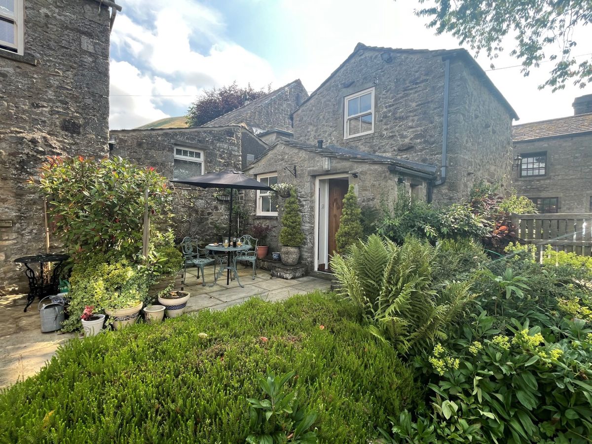
Buckden, near Skipton, Yorkshire
The Little House At Fairlawn
Sleeps 2 · 1 bed
- No dogs
from £477 / week
Check dates for The Little House At Fairlawn (opens the booking site in a new tab)Checked 7 Oct
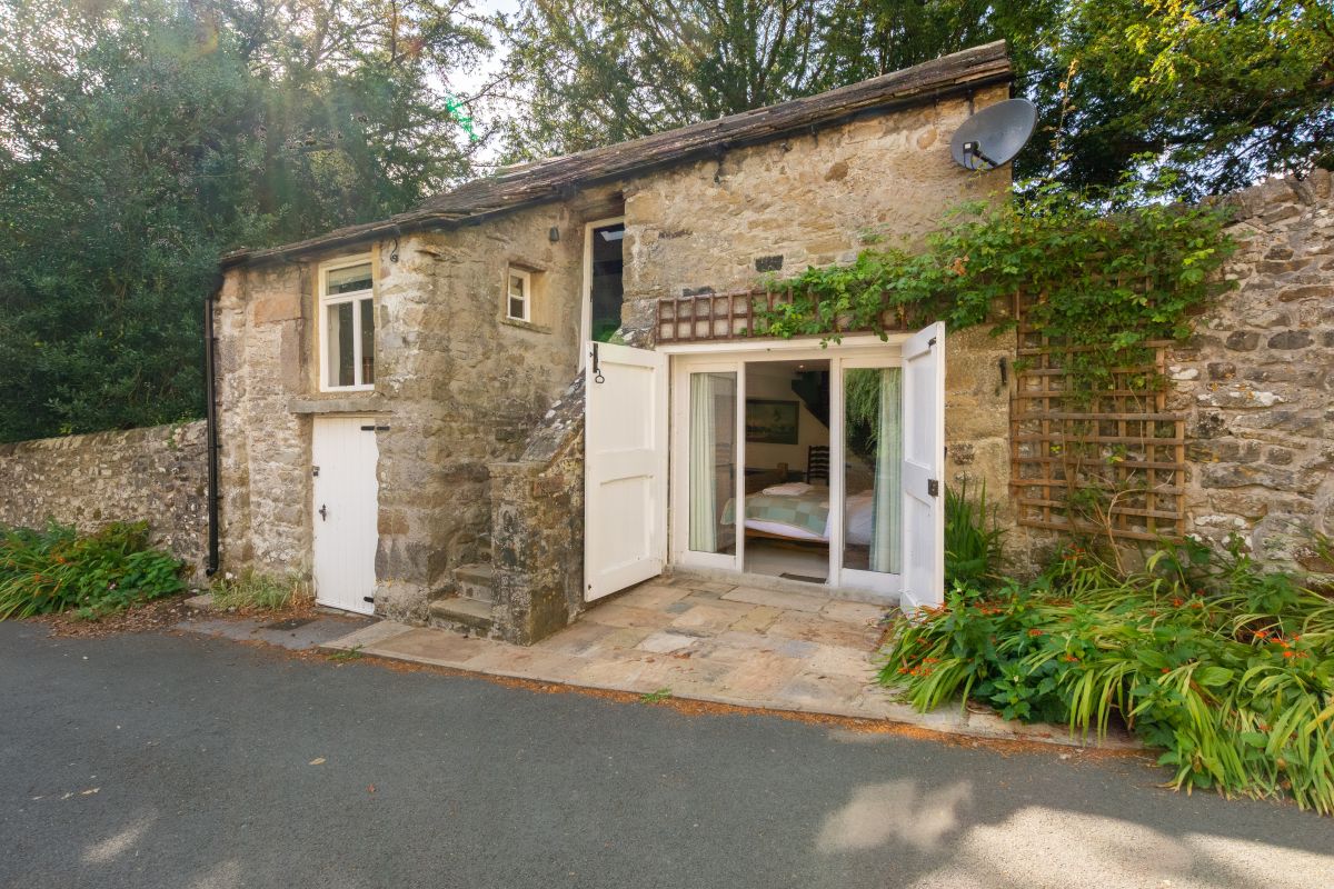
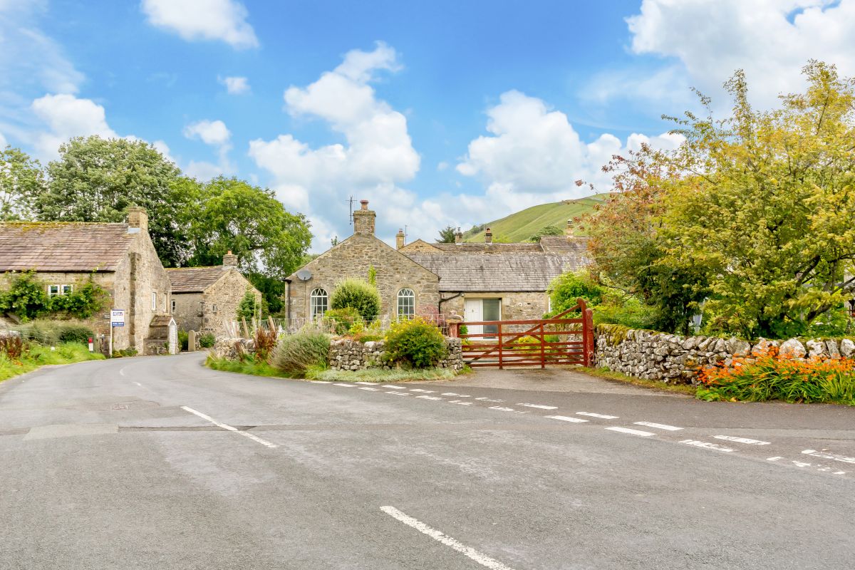
Starbotton, near Skipton, Yorkshire
The Old Chapel - Starbotton
Sleeps 4 · 2 beds
- Dogs
from £687 / week
Check dates for The Old Chapel - Starbotton (opens the booking site in a new tab)Checked 7 Oct
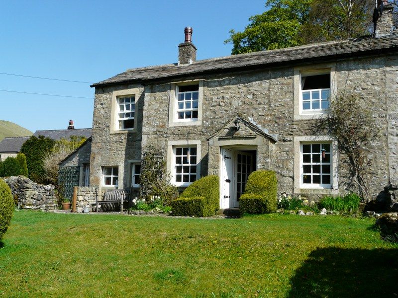
Starbotton, Yorkshire
Croft House - Kettlewell
Sleeps 6 · 4 beds
- Dogs
from £1,027 / week
Check dates for Croft House - Kettlewell (opens the booking site in a new tab)Checked 7 Oct
Starbotton, near Skipton, Yorkshire
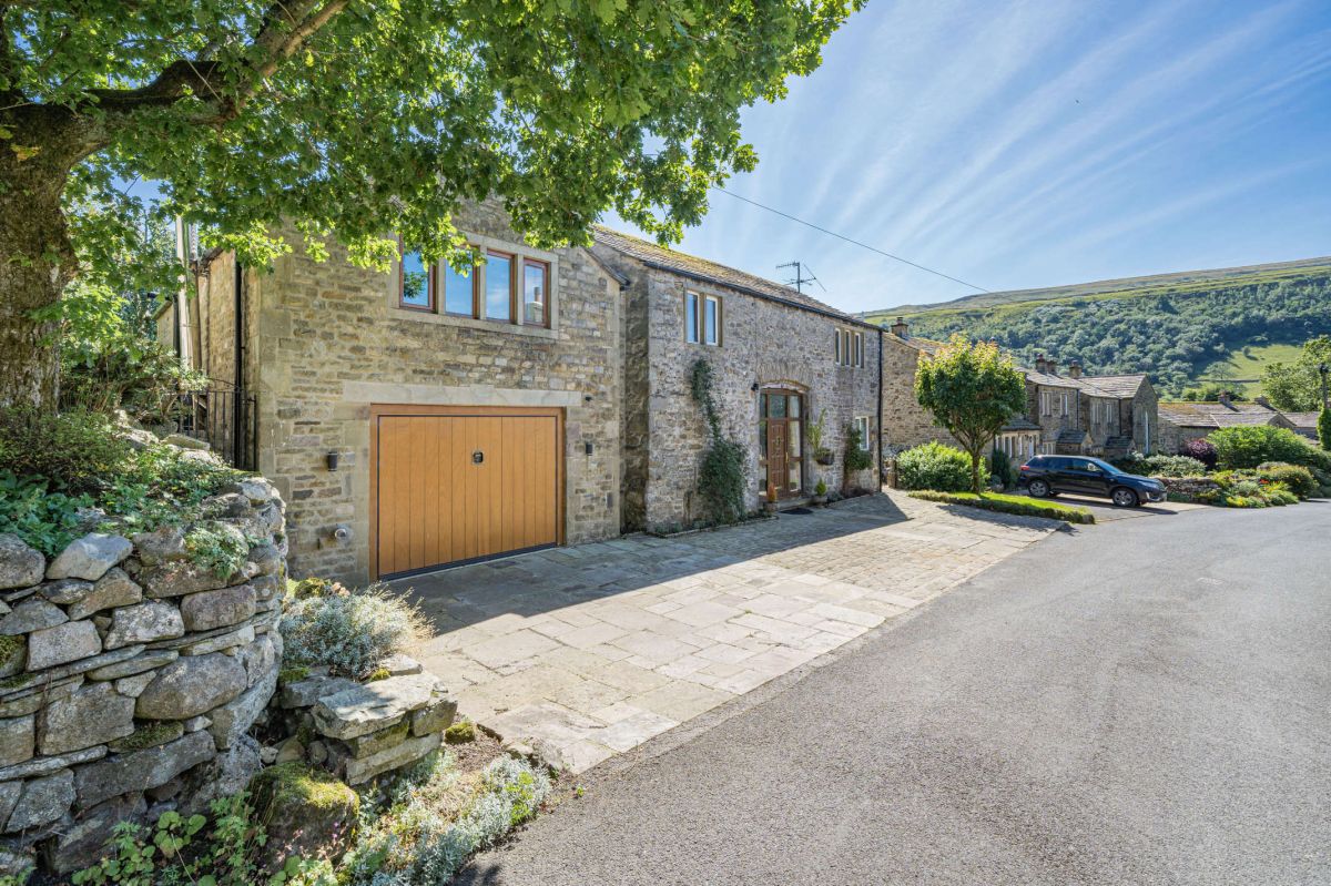
Oak Barn - Starbotton
Sleeps 8 · 4 beds
- Wood burner
- Dogs
from £1,393 / week
Check dates for Oak Barn - Starbotton (opens the booking site in a new tab)Checked 7 Oct

Kettlewell, near Skipton, Yorkshire
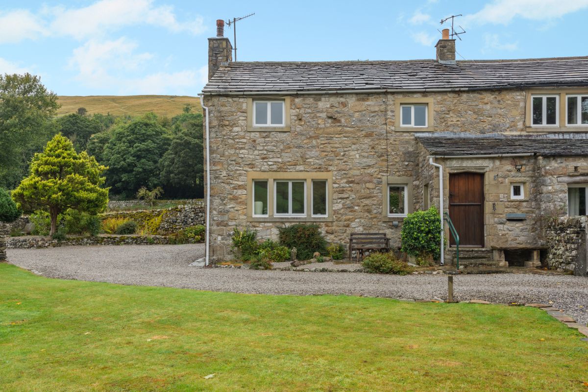
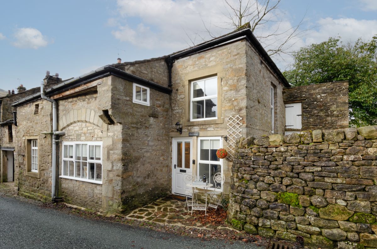
Amerdale Cottage
Sleeps 4 · 2 beds
- Wood burner
- No dogs
from £623 / week
Check dates for Amerdale Cottage (opens the booking site in a new tab)Checked 7 Oct
Distances, ascent and times here are planning figures taken from published sources, not a route description to navigate by. Take a map and check the forecast. We do not publish conditions, because nothing on this page is updated often enough for you to trust it on the day.