Whernside from Ribblehead
Near Ingleton, Yorkshire Dales
- Distance
- 12.5 km
- Ascent
- 480 m
- Time
- 4 hr 30 min
- Difficulty
- Moderate
- Summit
- 736 m
- Shape
- Circular
- Parking
- Limited
Start: Ribblehead, beside the viaduct, using the lay-bys the national park designates for parking
Grid ref: SD 766792
Whernside is the highest point in the Yorkshire Dales National Park and in North Yorkshire, at 736m, with an Ordnance Survey trig point on a summit that Wikipedia places on the boundary with Cumbria. It rises about three kilometres north-west of Ribblehead Viaduct, which is where the walk starts: the Midland Railway began the 24 arches in October 1870, laid the last stone at the end of 1874 and opened the Settle to Carlisle line to passengers in May 1876, with up to 2,300 men living in camps called Batty Wife Hole, Sebastopol and Belgravia, and more than a hundred of them losing their lives. The viaduct was Grade II* listed in November 1988 and the line was reprieved from closure in 1989, all on Wikipedia’s account.
go4awalk gives the loop as Ribblehead, Blea Moor, Force Gill, the summit, then Broadrake and Ivescar farms back to the viaduct, and the Yorkshire Dales National Park Authority’s Three Peaks notes describe the same climb: a path beside the railway, a crossing beside an aqueduct, then a signed path from Grain Head that climbs slowly on to the ridge. The descent is the stepped Bruntscar path, repaired in 2019 when, Grough reported, a helicopter lifted about 130 tonnes of gritstone, donated by the owner of Ingleton Quarry, on to 200m of eroded path between the summit and Bruntscar. Grough put the traffic at about 60,000 walkers a year, Three Peaks challengers included.
go4awalk gives 12.5km with 480m of ascent and about four and a half hours, and notes that mobile and wifi coverage is limited. The national park authority lists Ribblehead station on the Settle to Carlisle line, the Station Inn for refreshments, and only limited parking in designated lay-bys; Ingleton is the hub down the dale by road.
The long steady route to the Dales high point suits a walker who can navigate with a map. It is not a walk for anyone relying on a phone to find the way, and for a day below the tops the Ingleton waterfalls trail is the alternative. To stay in the Three Peaks, Ingleborough is the second highest and Pen-y-ghent the shortest day.
Underfoot
A path beside the Settle to Carlisle railway, then a long steady climb on to a broad ridge with boggy ground that is partly slabbed; the descent is a steep stepped path to Bruntscar, partly rebuilt in stone, then field paths to the viaduct. The summit lies on the Cumbria boundary and mobile coverage is limited.
Stay within reach of the start
Everything here is inside 12 km of Whernside from Ribblehead.
Booking links on these earn us a commission. The price you pay is the same either way.
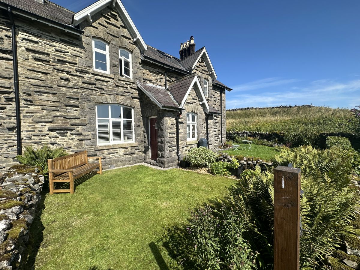
Selside, near Horton-in-Ribblesdale, Yorkshire
2 Railway Cottages
Sleeps 3 · 2 beds
- Wood burner
- Dogs
from £625 / week
Check dates for 2 Railway Cottages (opens the booking site in a new tab)Checked 7 Oct
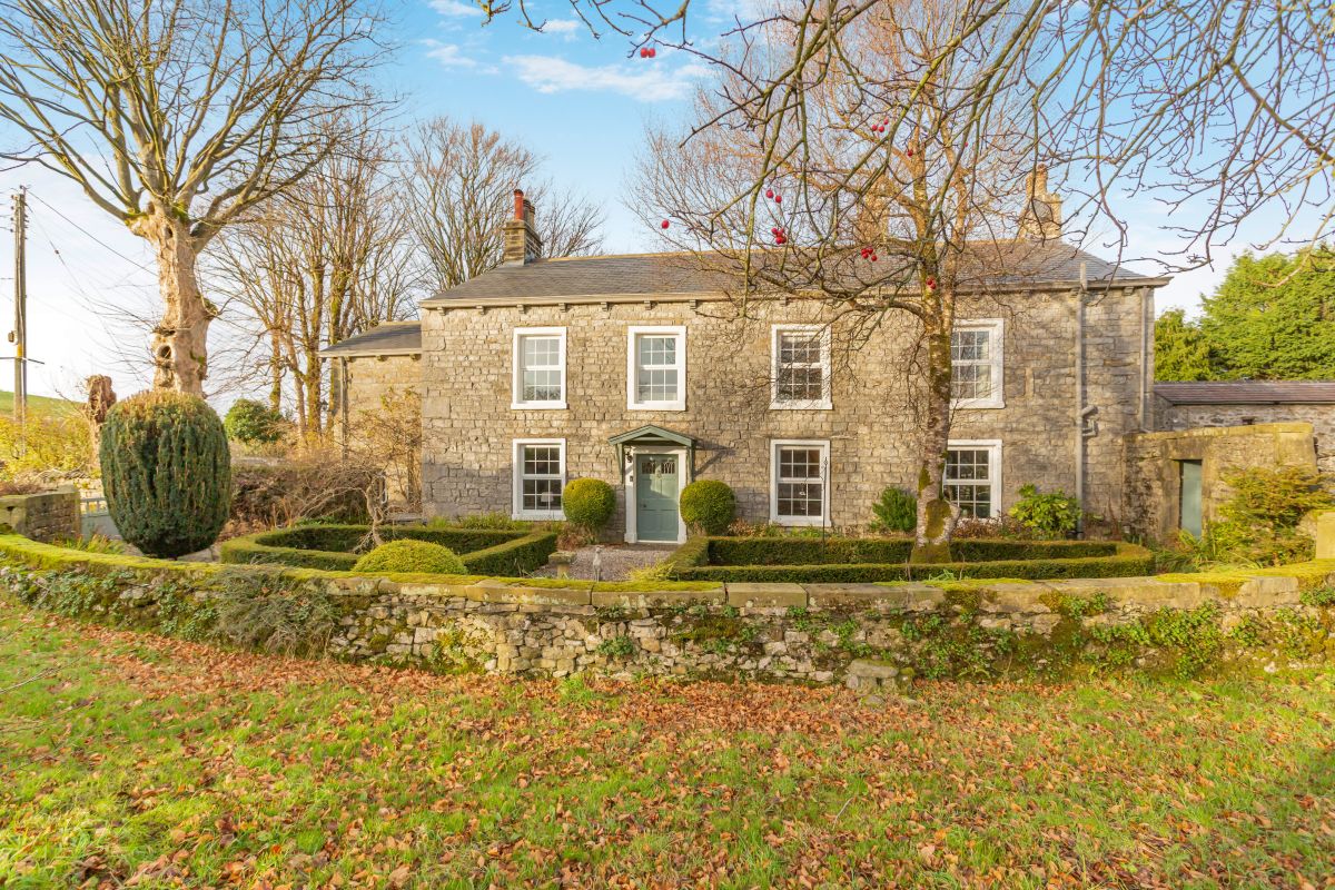
Horton-in-Ribblesdale, Yorkshire
The Rowe House
Sleeps 14 · 7 beds
- Wood burner
- Dogs
from £2,749 / week
Check dates for The Rowe House (opens the booking site in a new tab)Checked 7 Oct
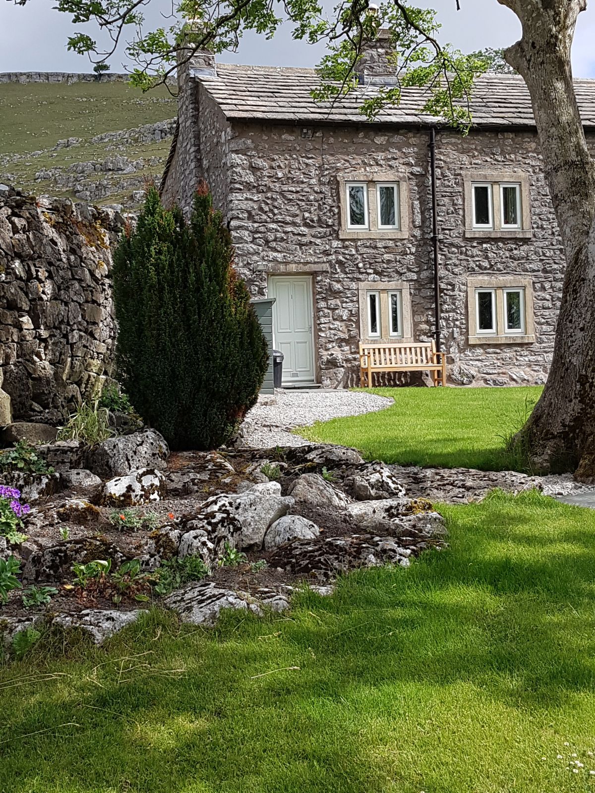
Ingleton, near Kirkby Lonsdale, Yorkshire
Scar End Cottage
Sleeps 3 · 2 beds
- Wood burner
- No dogs
from £473 / week
Check dates for Scar End Cottage (opens the booking site in a new tab)Checked 7 Oct
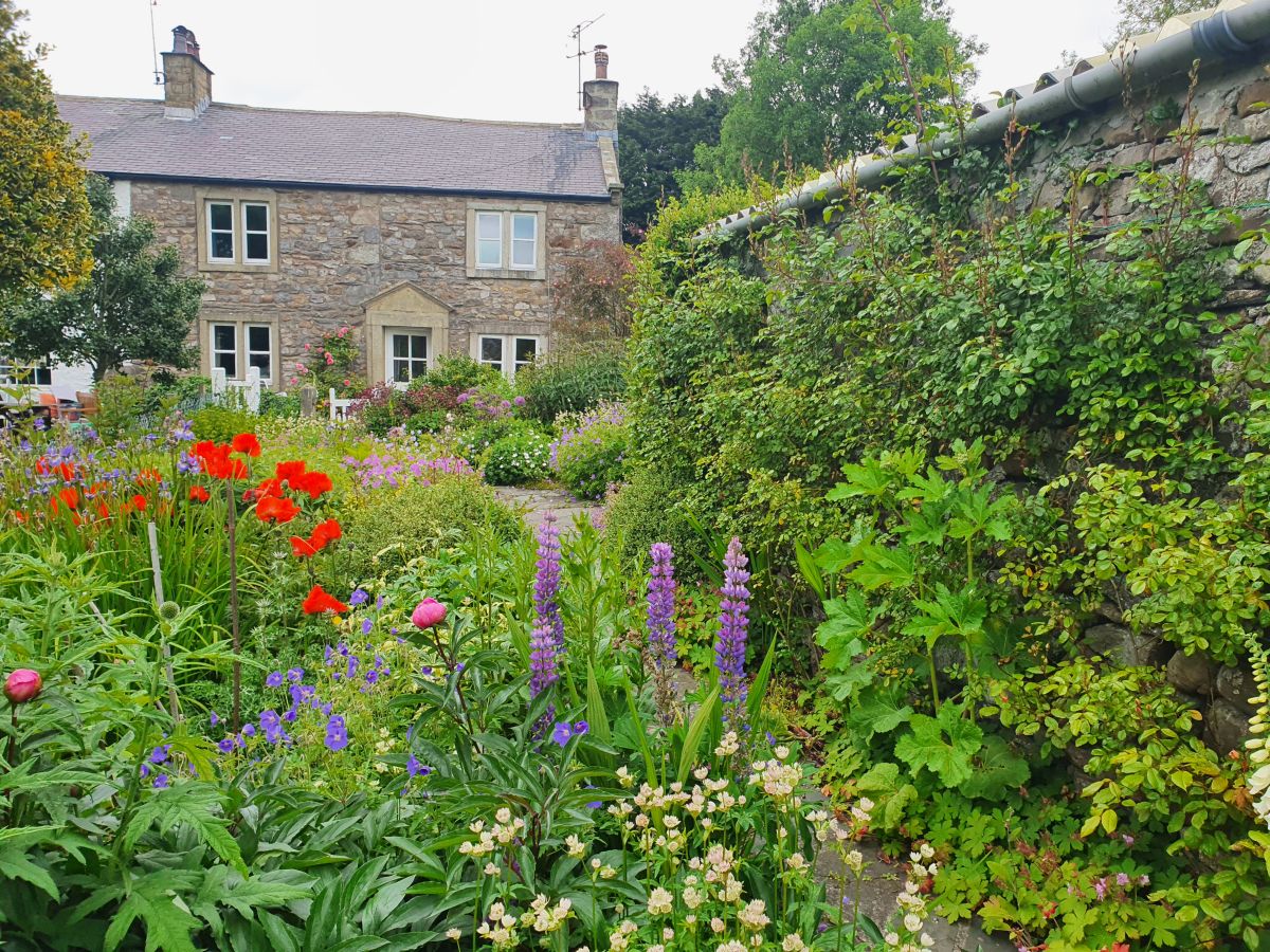
Horton-in-Ribblesdale, near Settle, Yorkshire
Lark Rise Cottage
Sleeps 6 · 3 beds
- Wood burner
- Dogs
from £624 / week
Check dates for Lark Rise Cottage (opens the booking site in a new tab)Checked 7 Oct
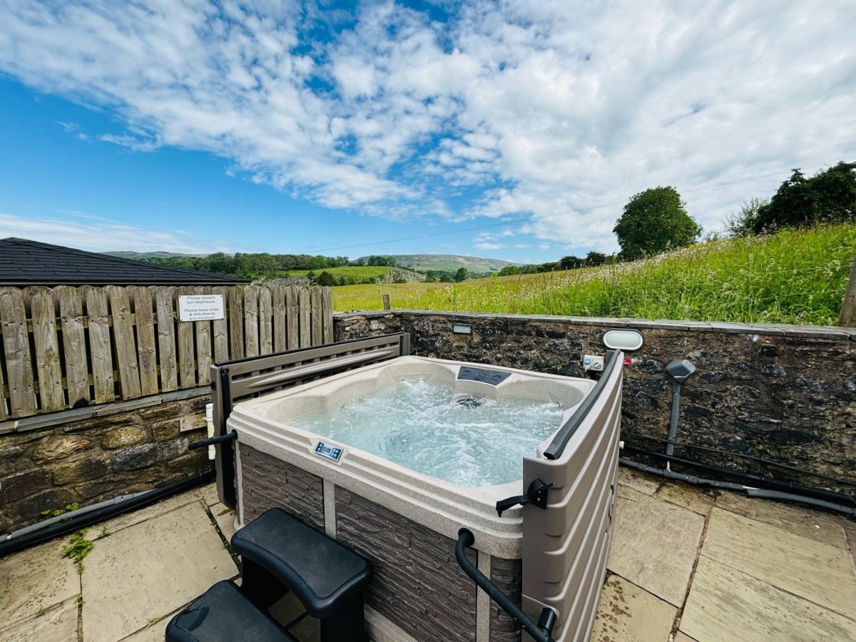
Ingleton, near Kirkby Lonsdale, Yorkshire
Highfield House - Ingleton
Sleeps 6 · 3 beds
- Hot tub
- Wood burner
- Dogs
from £980 / week
Check dates for Highfield House - Ingleton (opens the booking site in a new tab)Checked 7 Oct
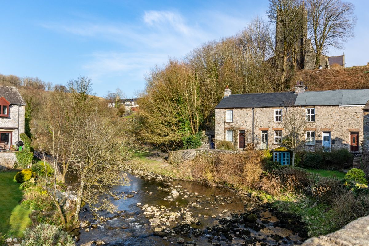
Ingleton, near Kirkby Lonsdale, Yorkshire
Waterfall Cottage
Sleeps 3 · 2 beds
- Dogs
from £508 / week
Check dates for Waterfall Cottage (opens the booking site in a new tab)Checked 7 Oct
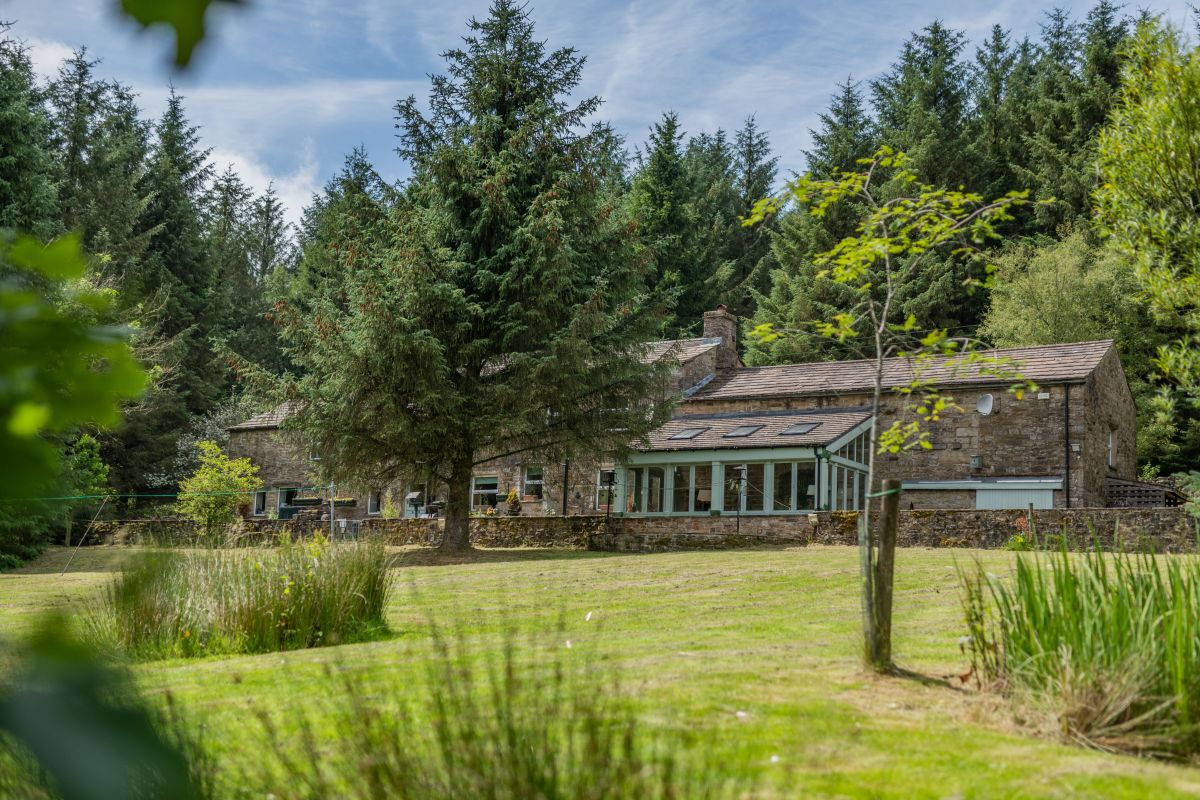
Snaizeholme, near Hawes, Yorkshire
Westfield - Snaizeholme
Sleeps 10 · 5 beds
- Dogs
from £1,852 / week
Check dates for Westfield - Snaizeholme (opens the booking site in a new tab)Checked 7 Oct
Distances, ascent and times here are planning figures taken from published sources, not a route description to navigate by. Take a map and check the forecast. We do not publish conditions, because nothing on this page is updated often enough for you to trust it on the day.