Ingleton Waterfalls Trail
Near Ingleton, Yorkshire Dales
- Distance
- 7 km
- Time
- 3 hr
- Difficulty
- Moderate
- Shape
- Circular
- Parking
- Limited
- Dogs
- Yes
Start: Broadwood car park and ticket office, Ingleton
Grid ref: SD 692733
The Ingleton Waterfalls Trail follows the gorges of the River Twiss and the River Doe round the edge of Ingleton, and the Yorkshire Dales National Park Authority says it has been impressing visitors for over a hundred years. The operator, Ingleton Waterfalls Trail, runs it privately and charges an entry fee on the day, takes payment by card only at the ticket office, and publishes its own opening and last-entry times, which shorten through the winter months. The operator adds that Natural England has designated much of the trail a Site of Special Scientific Interest for its geology and its plants.
The operator sets the route out as a one-way clockwise circuit. It starts up the Twiss through Swilla Glen, a deep glen cut into carboniferous limestone, then reaches Pecca Falls, which the operator describes as five main waterfalls dropping 30m over sandstone and slate. A steep series of steps at Hollybush Spout leads onto open moor and to Thornton Force, where the river plunges 14m over limestone laid down, in the operator’s account, 330 million years ago in a sub-tropical sea; it says the fall inspired Turner. Twisleton Lane, described as an old Roman road, then gives views of Ingleborough before the path drops to Beezley Falls and follows the Doe through Rival Falls and Baxenghyll Gorge back toward the village. Falls Park, roughly halfway round, has a refreshment kiosk and toilets.
The National Park Authority gives the trail as 4.3 miles, or 7km, and 2 to 4 hours; the operator’s own pages say 4.3 and 4.5 miles in different places, so treat the figure as approximate. Parking at the Broadwood car park is limited and free for ticket holders. The trail suits families with children old enough for a long staircase and walkers wanting a day of waterfalls from the village without a hill, and the authority notes responsible dog owners are welcome, on a lead on certain sections and across farmland. Wheelchairs and pushchairs are ruled out by the authority because of the number of steps, and the trail is the wrong choice for anyone unwilling to pay an entry charge for a walk. Walkers who would rather spend the day on a hill than at a ticket office should take Ingleborough itself.
Underfoot
A well-defined footpath that stays close to the edge of the two rivers, with a large number of steps, including a steep flight at Hollybush Spout, and a stretch along the old road of Twisleton Lane between the two gorges.
Stay within reach of the start
Everything here is inside 12 km of Ingleton Waterfalls Trail.
Booking links on these earn us a commission. The price you pay is the same either way.
Ingleton, near Kirkby Lonsdale, Yorkshire
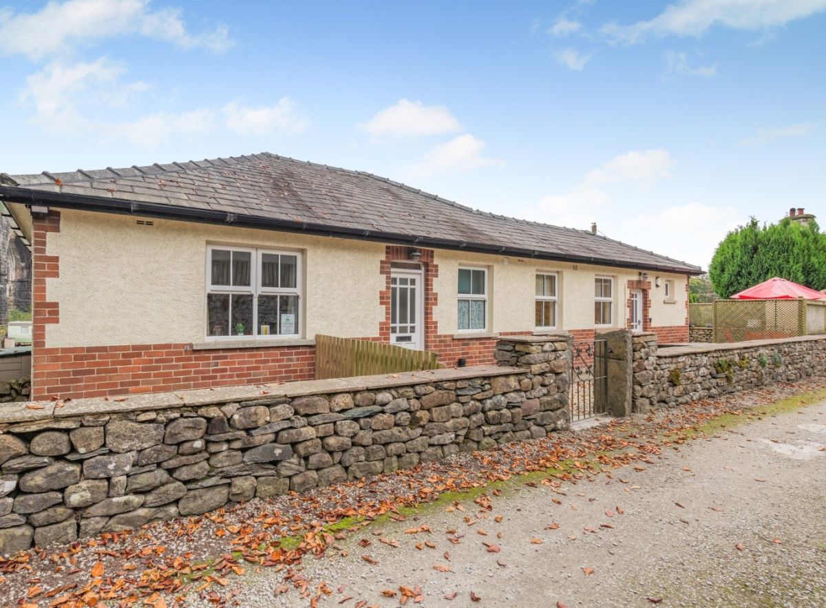
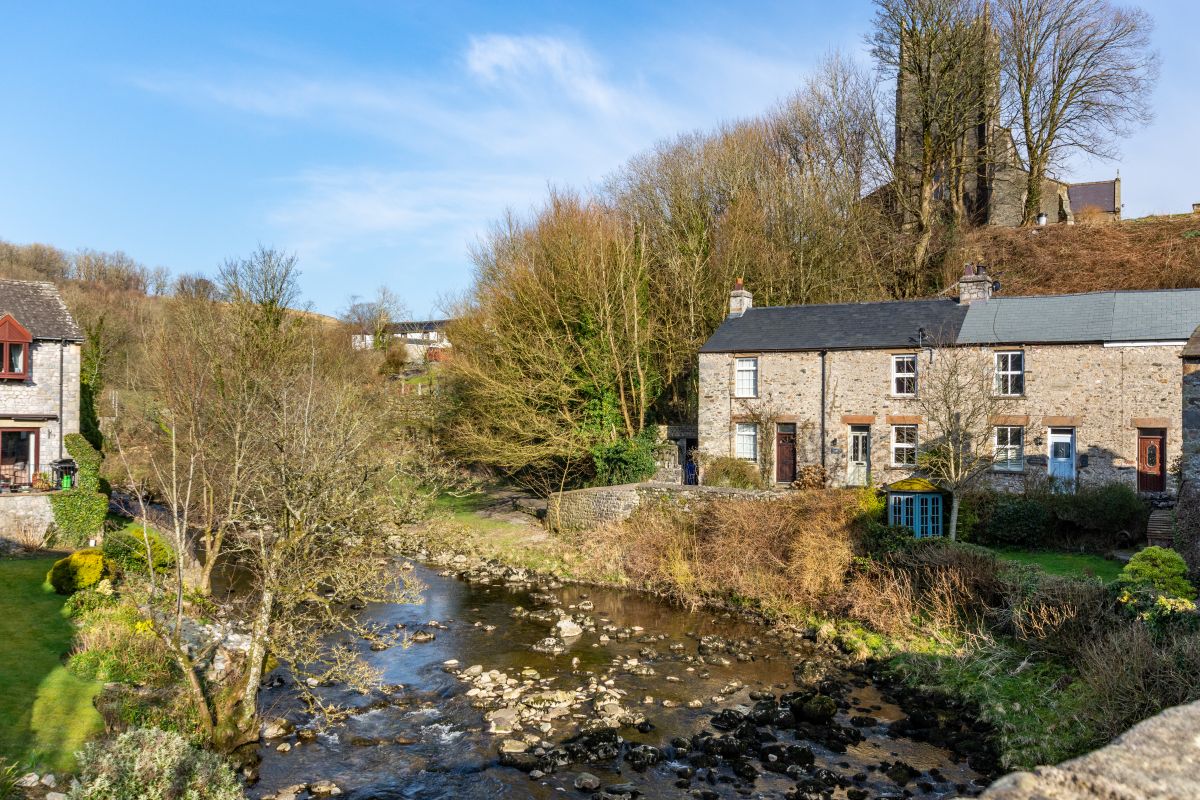
Waterfall Cottage
Sleeps 3 · 2 beds
- Dogs
from £508 / week
Check dates for Waterfall Cottage (opens the booking site in a new tab)Checked 7 Oct
Ingleton, near Kirkby Lonsdale, Yorkshire
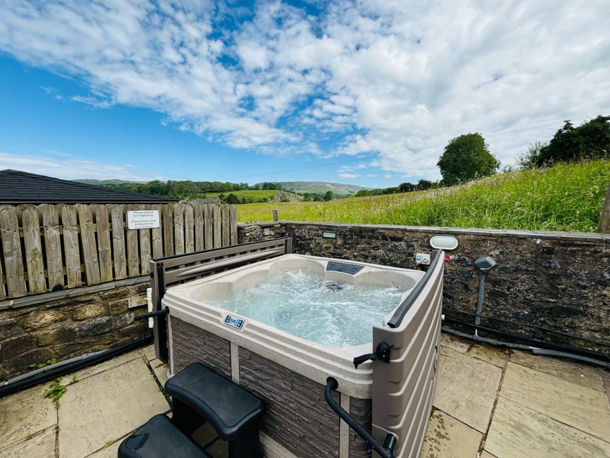
Highfield House - Ingleton
Sleeps 6 · 3 beds
- Hot tub
- Wood burner
- Dogs
from £980 / week
Check dates for Highfield House - Ingleton (opens the booking site in a new tab)Checked 7 Oct
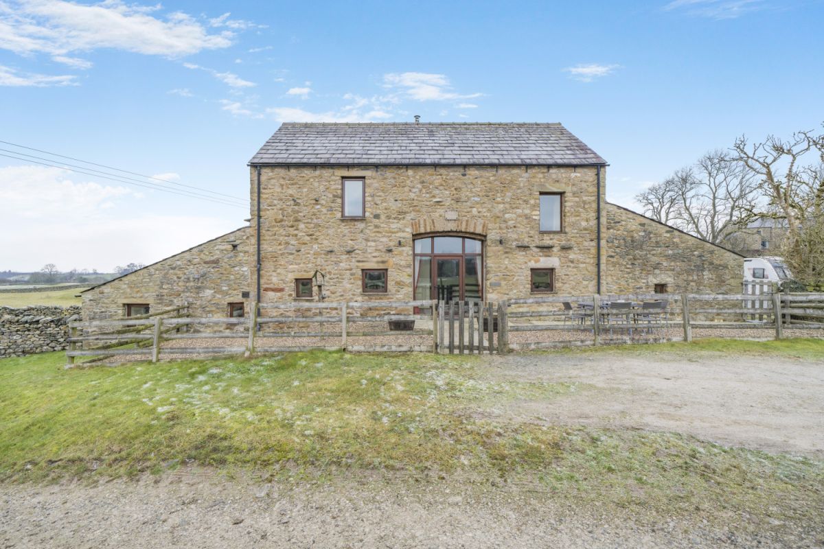
Holme Barn- Ingleton
Sleeps 10 · 5 beds
- Wood burner
- Dogs
from £1,305 / week
Check dates for Holme Barn- Ingleton (opens the booking site in a new tab)Checked 7 Oct
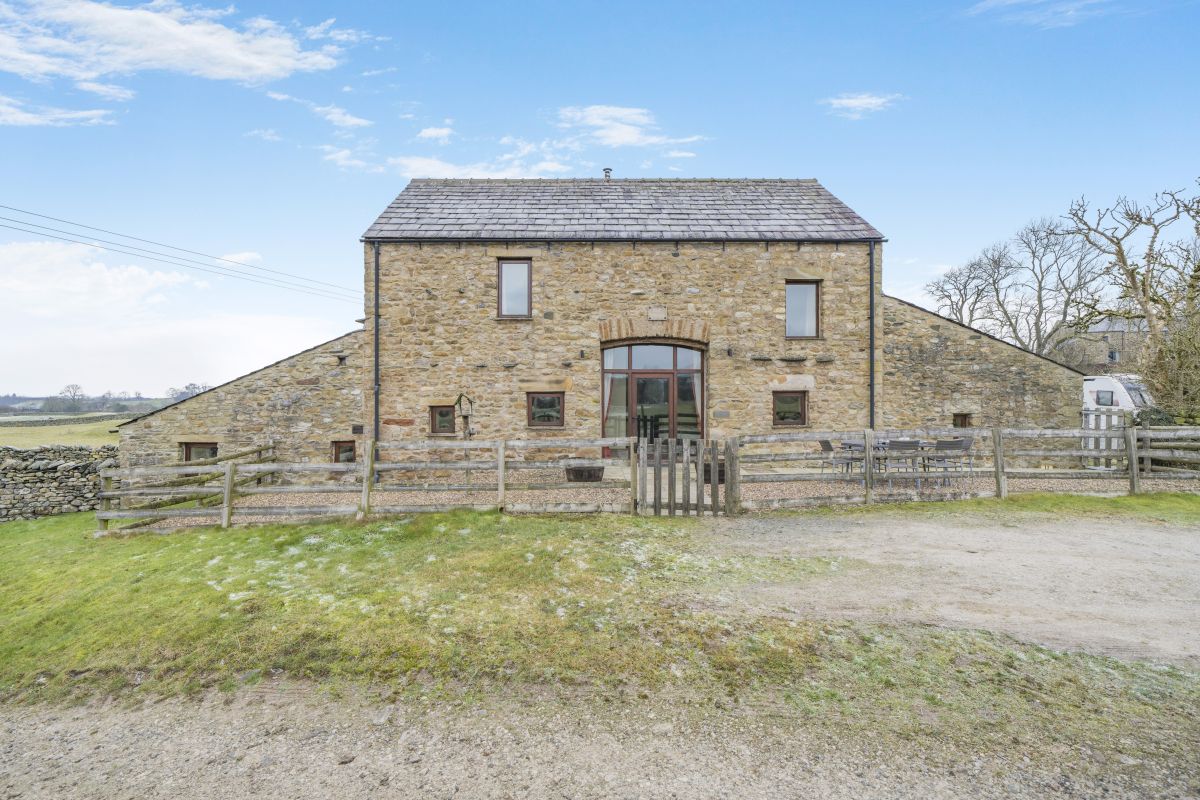
Ingleton, Yorkshire
Low Byre - Ingleton
Sleeps 6 · 3 beds
- Wood burner
- Dogs
from £673 / week
Check dates for Low Byre - Ingleton (opens the booking site in a new tab)Checked 7 Oct
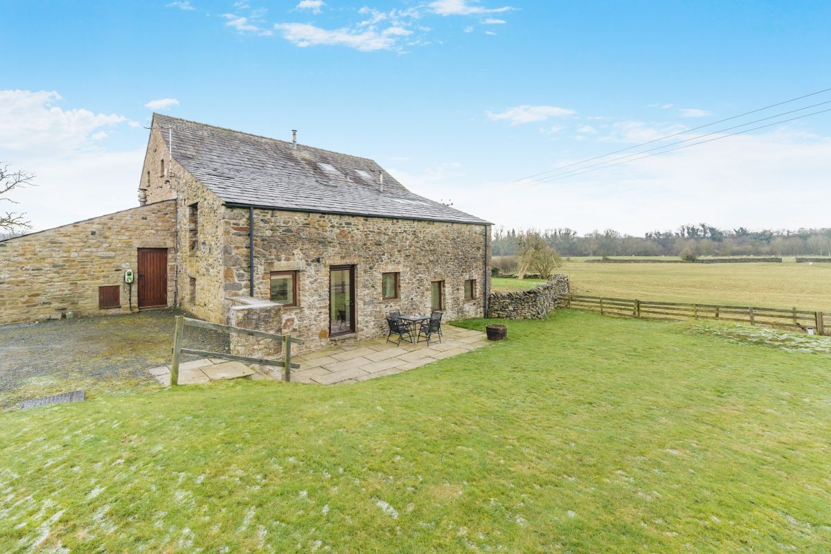
Ingleton, Yorkshire
Holme Fell - Ingleton
Sleeps 4 · 2 beds
- Wood burner
- Dogs
from £569 / week
Check dates for Holme Fell - Ingleton (opens the booking site in a new tab)Checked 7 Oct
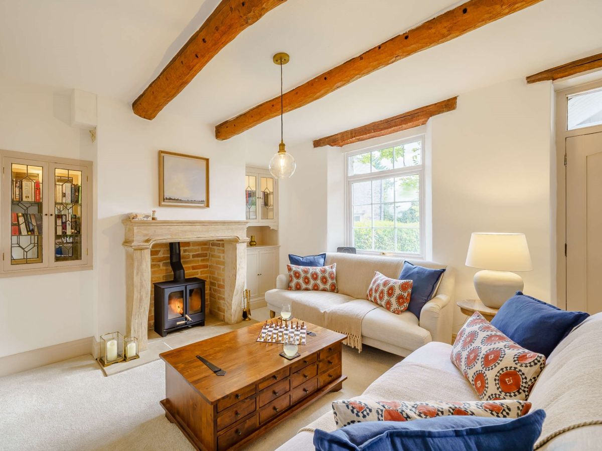
Ingleton, near Kirkby Lonsdale, Yorkshire
Bridleways Cottage
Sleeps 4 · 2 beds
- Wood burner
- Dogs
from £687 / week
Check dates for Bridleways Cottage (opens the booking site in a new tab)Checked 8 Oct
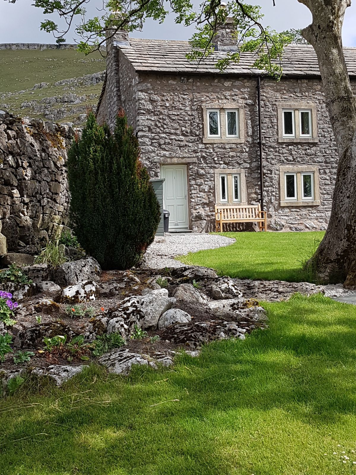
Ingleton, near Kirkby Lonsdale, Yorkshire
Scar End Cottage
Sleeps 3 · 2 beds
- Wood burner
- No dogs
from £473 / week
Check dates for Scar End Cottage (opens the booking site in a new tab)Checked 7 Oct
Distances, ascent and times here are planning figures taken from published sources, not a route description to navigate by. Take a map and check the forecast. We do not publish conditions, because nothing on this page is updated often enough for you to trust it on the day.