Ingleborough from Clapham
Near Ingleton, Yorkshire Dales
- Distance
- 15.4 km
- Ascent
- 595 m
- Time
- 6 hr 20 min
- Difficulty
- Moderate
- Summit
- 723 m
- Shape
- Circular
Start: Clapham village car park
Grid ref: SD 746692
Ingleborough’s summit is a hillfort. Wikipedia gives the height as 723m and describes a broad, slightly convex plateau half a mile round, carpeted with dry turf, with an Ordnance Survey trig point and a cross-shaped windshelter that carries a toposcope; the tumbled wall along its northern, eastern and southern edges and some twenty ring-shaped stone mounds are listed as a Scheduled Monument, a large univallate hillfort, thought to be Iron Age defences or possibly earlier Bronze Age ritual structures. Ingleton is the hub, which Wikipedia puts about four miles south-west of the mountain.
This page takes the route from Clapham, where Walking Britain’s circuit climbs past Ingleborough Cave and Trow Gill before the plateau. Wikipedia records that the Farrer family have held their Ingleborough estate there since the eighteenth century, that the show cave is reached through the estate grounds, and that the car park is run by the Yorkshire Dales National Park. Walking Britain notes that the estate path charges a toll, with a walled lane to Clapdale Farm as the way round it. Trow Gill, in Walking Britain’s words, is a narrow limestone gorge made by a cave collapse, and it brings the walker out on to open moorland; Gaping Gill is a short diversion to a depression on the right, where Wikipedia says Fell Beck drops 110m into a pothole, and Walking Britain adds that public winch access runs twice a year through local caving clubs.
From Gaping Gill a steep climb over Little Ingleborough leads to the plateau, where Walking Britain puts the best views on the west edge. The return passes a derelict shooting hut at SD 767739, crosses limestone pavement to Long Scar, and finishes down the walled Long Lane through two tunnels. The Yorkshire Dales National Park Authority warns that in poor weather it is easy to leave the plateau in the wrong direction, and Walking Britain advises choosing the most worn path at Long Scar.
Walking Britain gives 15.4km with 595m of ascent and about six hours. A full day and a taste for limestone as well as summits is what this circuit suits. It is not a walk for anyone who cannot navigate off a broad summit plateau in cloud; for a shorter, low-level day among the same limestone, the Ingleton waterfalls trail is the choice, and Pen-y-ghent is the quicker summit.
Underfoot
A made path through the Ingleborough Estate grounds and Clapdale to Trow Gill, a narrow limestone gorge, then open moorland and a steep climb over Little Ingleborough to a broad summit plateau; the return crosses limestone pavement at Long Scar, where several tracks meet, and ends on a walled lane through two tunnels.
Stay within reach of the start
Everything here is inside 12 km of Ingleborough from Clapham.
Booking links on these earn us a commission. The price you pay is the same either way.
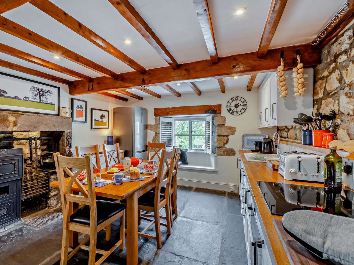
Clapham, near Settle, Yorkshire
The Stable At Coppy House Farm
Sleeps 4 · 2 beds
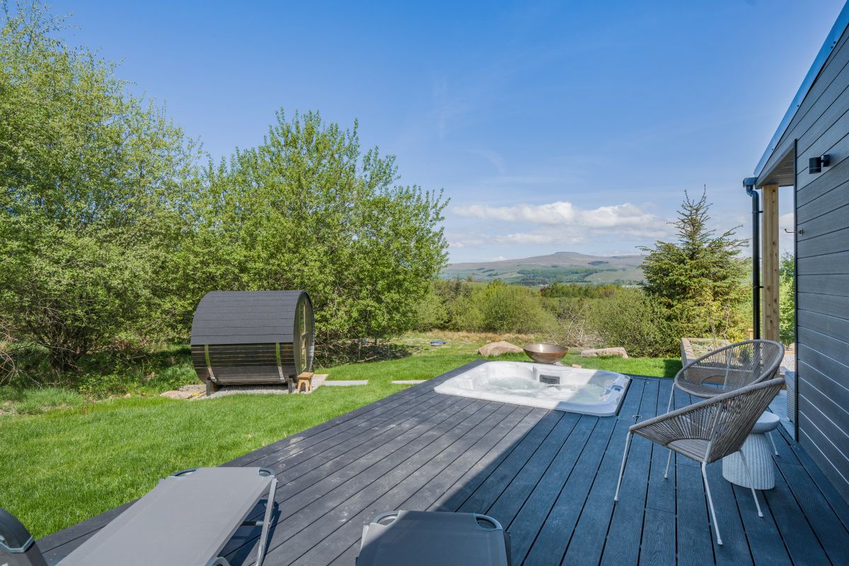
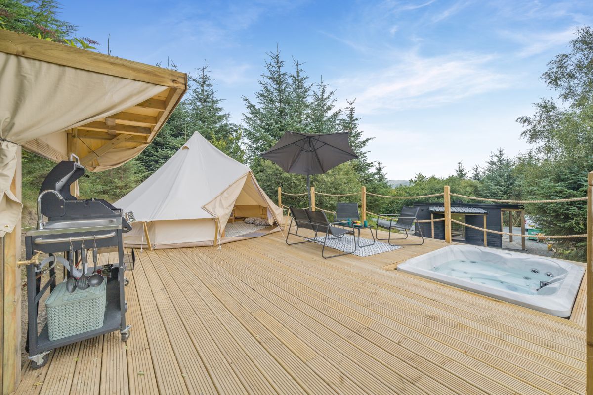
- Hot tub
- Wood burner
- Dogs
from £1,016 / week
Check dates for The Stable At Coppy House Farm (opens the booking site in a new tab)Checked 7 Oct
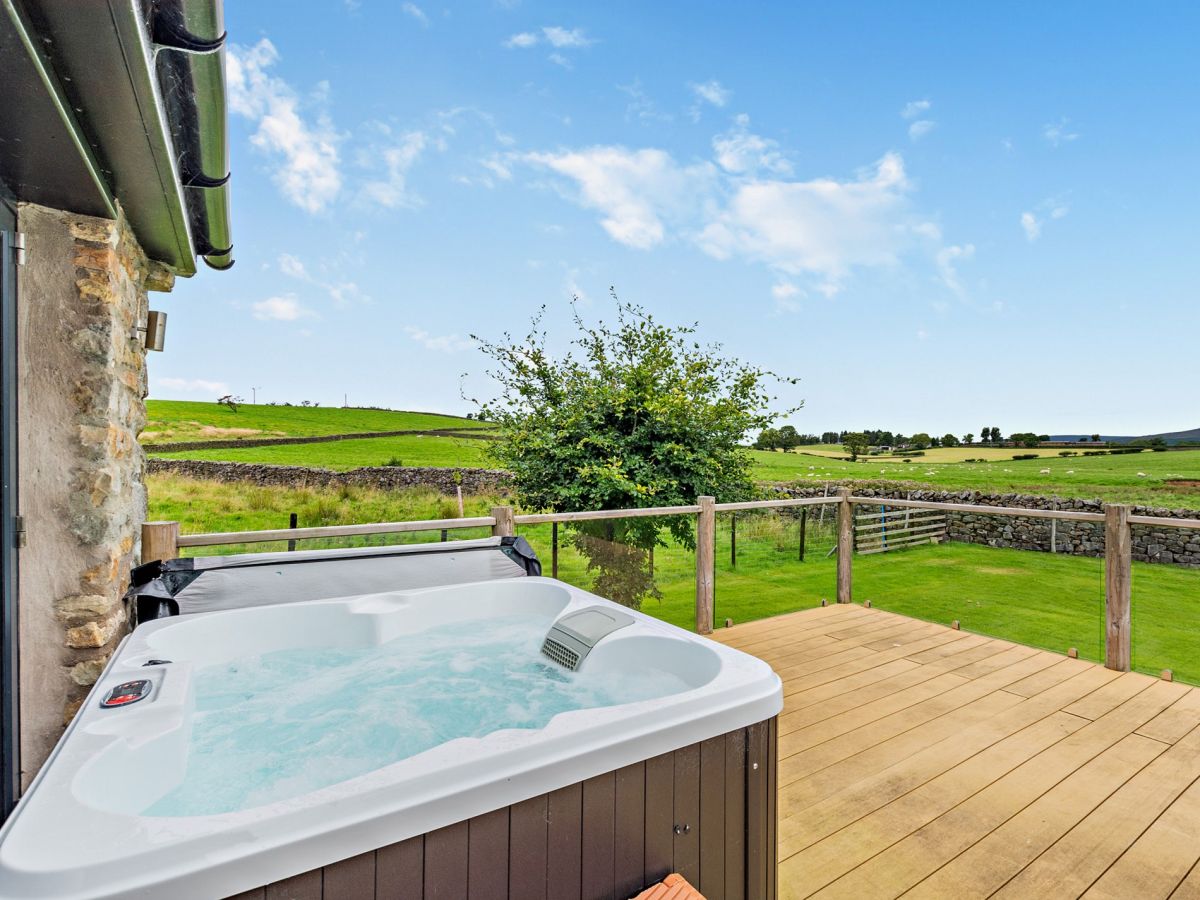
Clapham, near Settle, Yorkshire
Coppy House View
Sleeps 8 · 4 beds
- Hot tub
- Dogs
from £1,351 / week
Check dates for Coppy House View (opens the booking site in a new tab)Checked 7 Oct
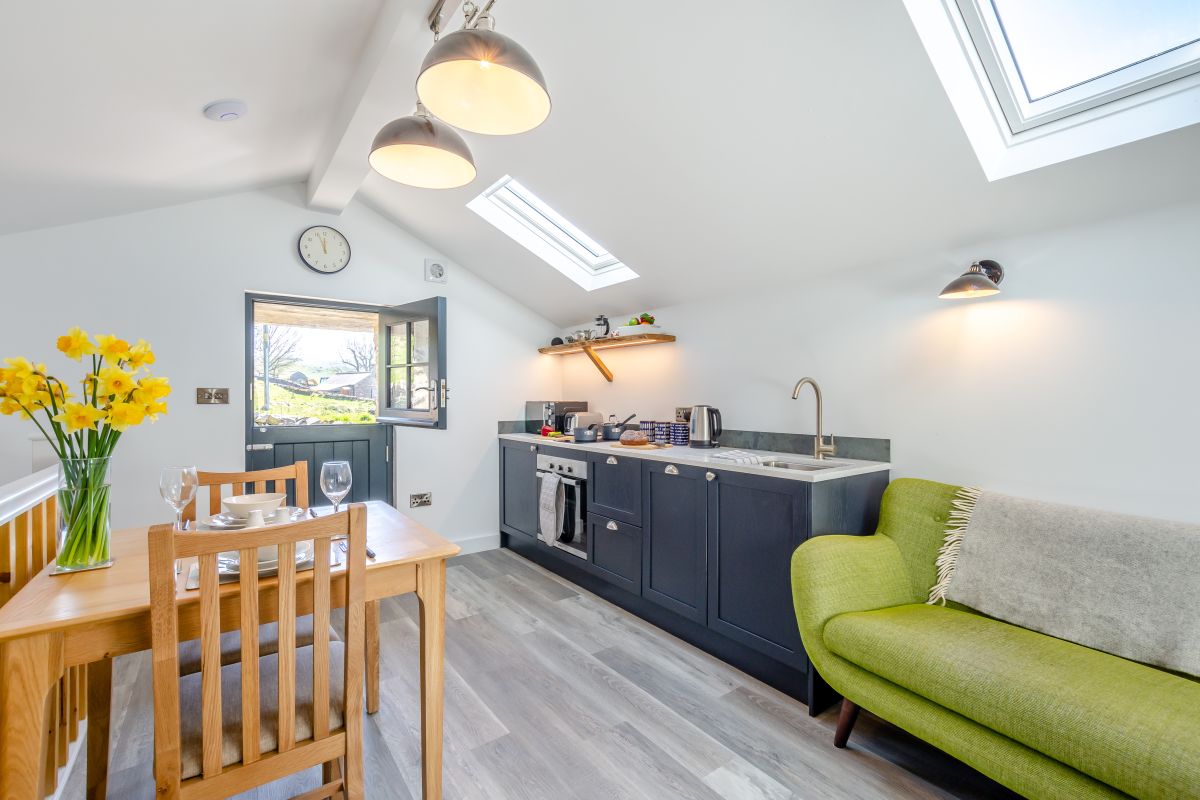
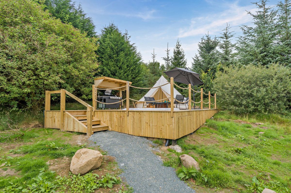
Austwick, near Lancaster, Yorkshire
Owl Cottage - The Wood
Sleeps 4 · 2 beds
- Hot tub
- Dogs
from £1,024 / week
Check dates for Owl Cottage - The Wood (opens the booking site in a new tab)Checked 7 Oct
Distances, ascent and times here are planning figures taken from published sources, not a route description to navigate by. Take a map and check the forecast. We do not publish conditions, because nothing on this page is updated often enough for you to trust it on the day.