Llyn Elsi
Near Betws-y-Coed, Eryri
- Distance
- 6.2 km
- Ascent
- 318 m
- Time
- 2 hr 30 min
- Difficulty
- Hard
- Shape
- Circular
- Parking
- Paid
- Dogs
- Yes: on a lead near livestock, Perthi Holiday Cottages says
Start: St Mary's Church, Betws-y-Coed
Grid ref: SH 795565
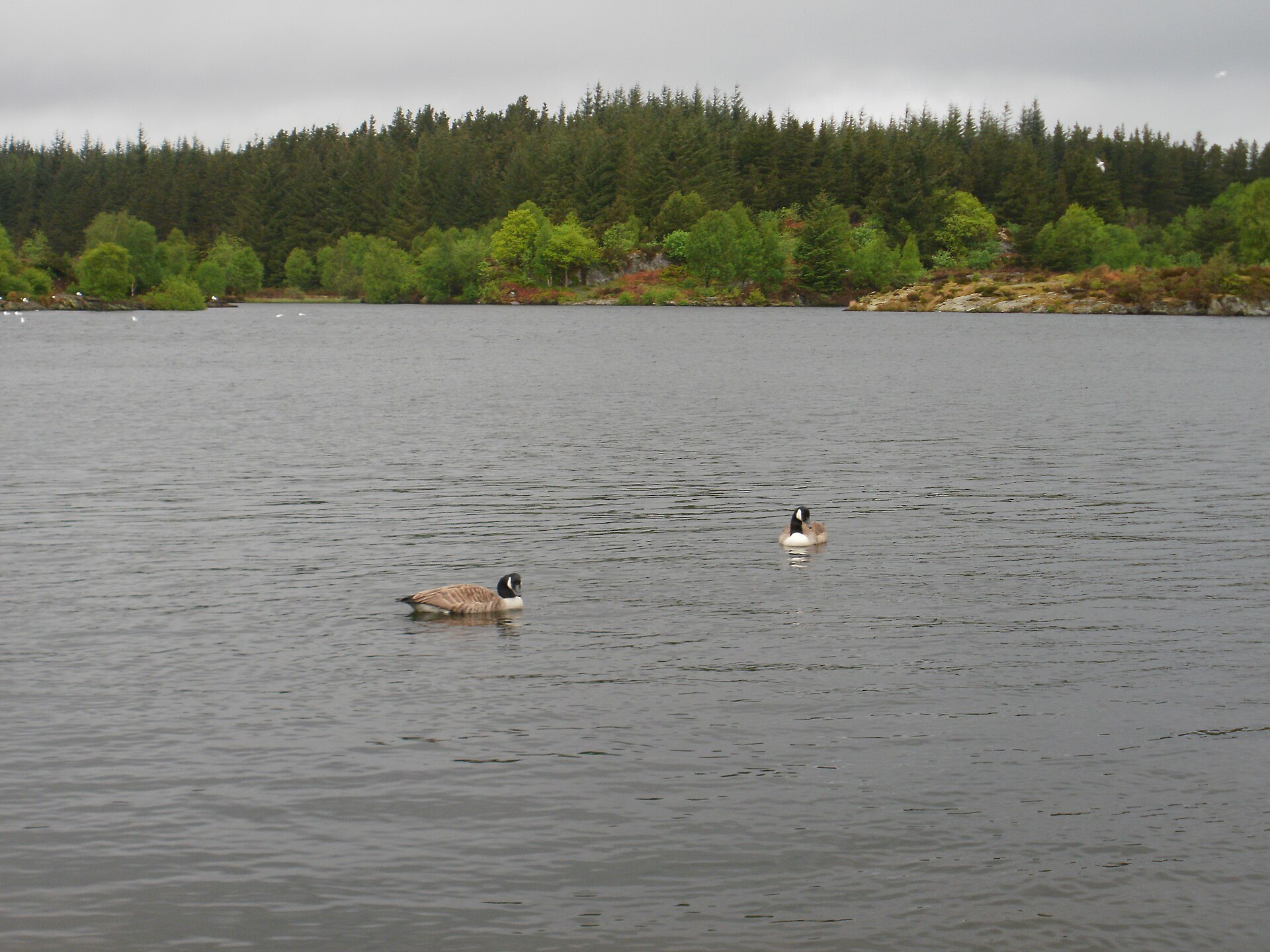
Llyn Elsi is a reservoir lake in Gwydir Forest above Betws-y-Coed, more than 200 metres above sea level, reached by a path that climbs steeply from behind St Mary’s Church. The lake covers about 30 acres and holds one small island; before it was dammed it was two separate, smaller lakes, Llyn Rhisgog and Llyn Enoc. A dam built in 1914 raised the water to supply the village, and a memorial beside the lake records Lord Ancaster’s grant of the water rights that made this possible, the same Ancaster family that gave Swallow Falls to the local council around the same period.
The lake sits in Gwydir Forest Park, which Natural Resources Wales manages, inside Eryri National Park. The climb out of the village is the hard part: a steep, sometimes stepped path through mixed woodland for the first stretch, easing onto gentler forestry track once the height is gained. A path then circles the lake, with benches near the dam memorial for a rest, and views opening north-west towards the Carneddau and Glyderau ranges, with Moel Siabod visible on a clear day. The lake is stocked with trout by a local angling club.
Natural Resources Wales, which waymarks the walk from behind the church and back the same way, gives it as 6.2km with 318m of ascent, allows two to three hours, and grades it strenuous; the effort is the steep climb out of the village and the descent back into it, not anything technical. It suits anyone based in Betws-y-Coed who wants a walk without a car. It does not suit anyone wanting a flat outing, because the trail rises and descends steeply from the village; Swallow Falls asks for very little walking.
Underfoot
Steep, sometimes stepped climb out of the village through mixed woodland, easing onto forestry track higher up, then a circuit of the lake shore.
Stay within reach of the start
Booking through these links earns a commission. The price is the same.
Betws-y-Coed
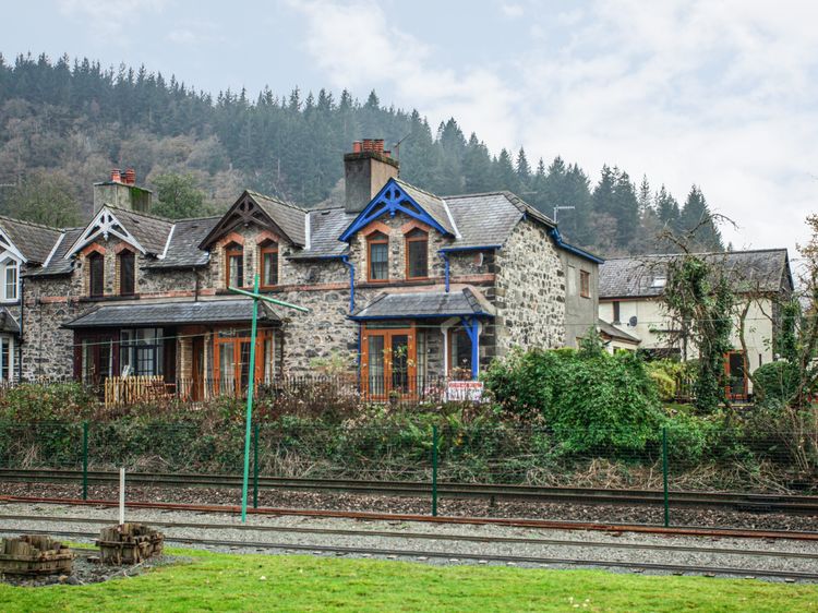
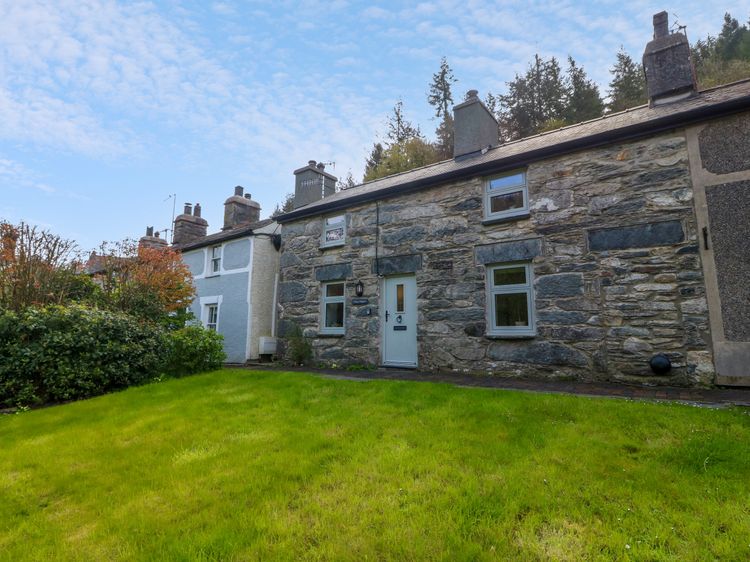
No 1 Railway Cottages
Sleeps 5 · 3 beds
- No dogs
from £567 / week
Check dates for No 1 Railway Cottages (opens the booking site in a new tab)Checked 8 Oct
Betws-y-Coed
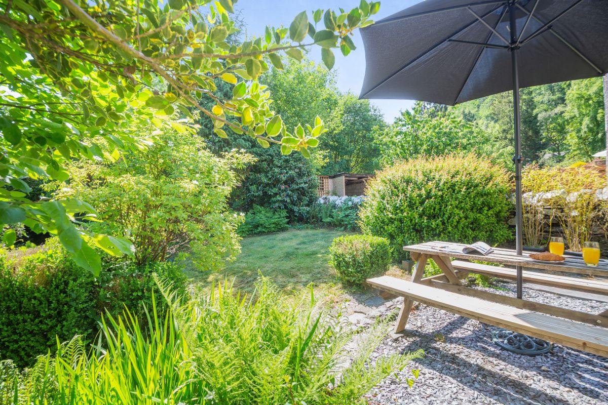
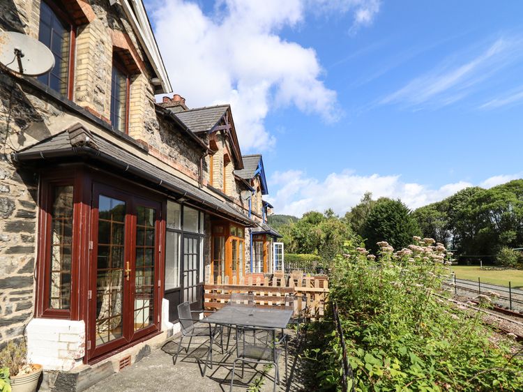
3 Railway Cottages
Sleeps 4 · 2 beds
- Wood burner
- No dogs
from £525 / week
Check dates for 3 Railway Cottages (opens the booking site in a new tab)Checked 8 Oct
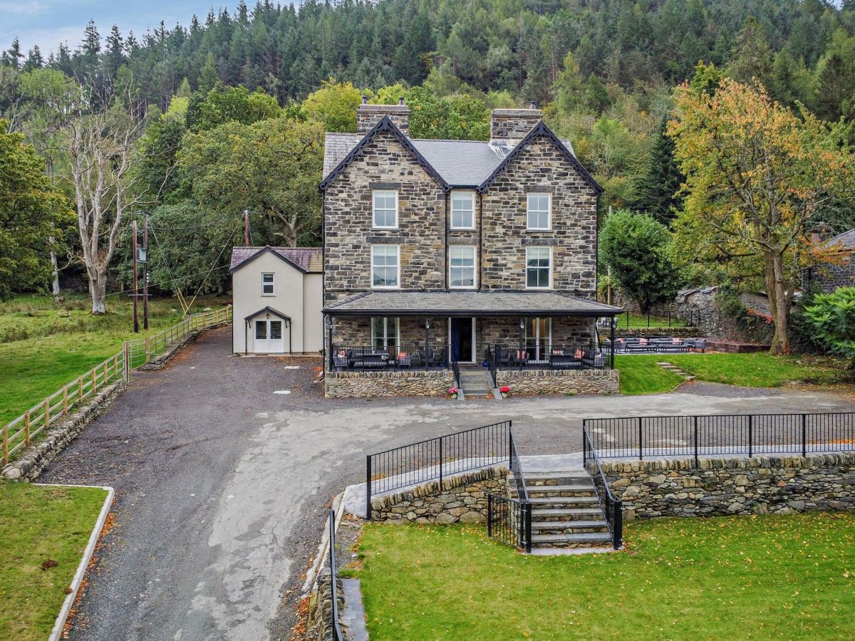
Betws-y-Coed, North Wales
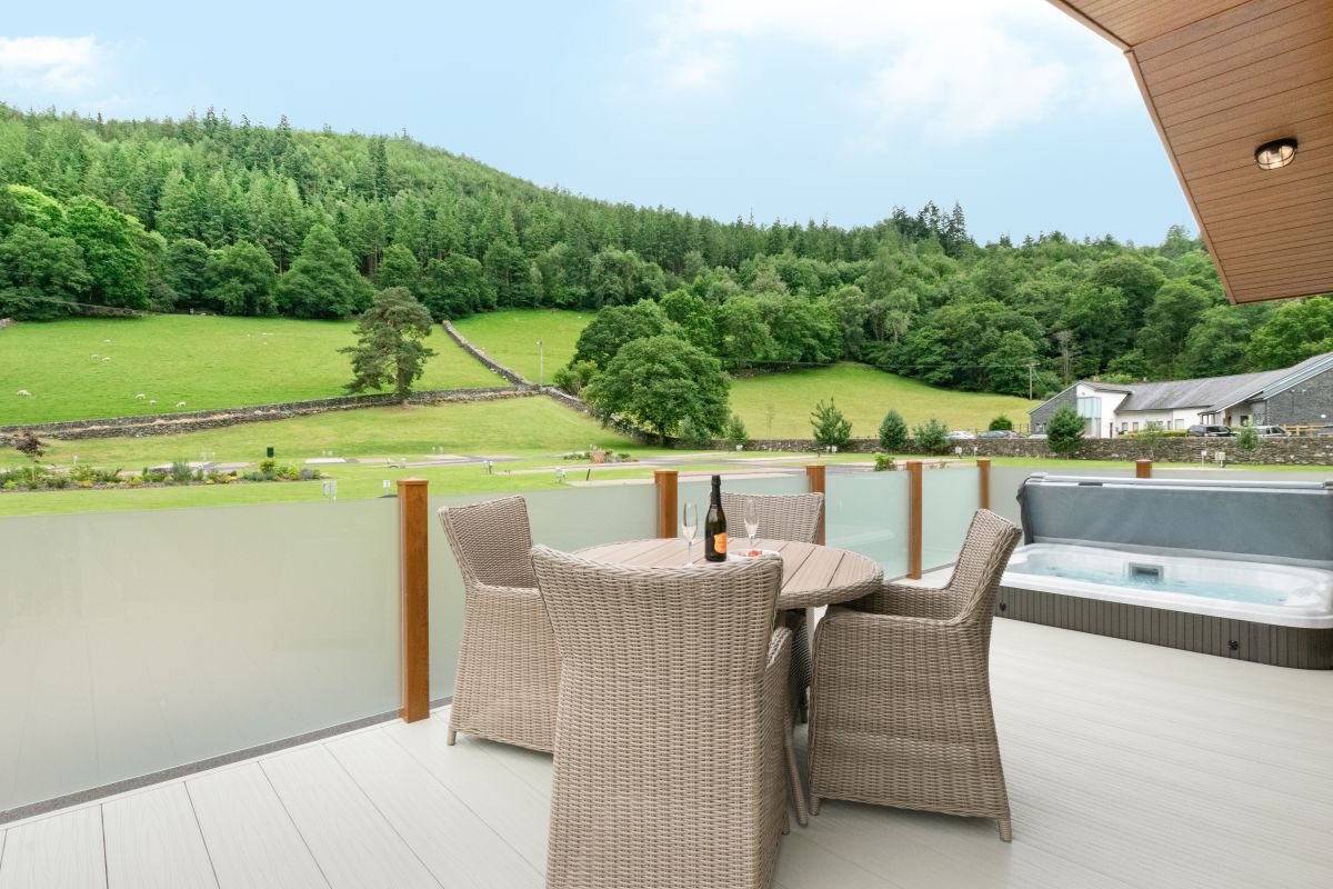
Llyn Dinas Lodge
Sleeps 4 · 2 beds
- Hot tub
- No dogs
from £1,011 / week
Check dates for Llyn Dinas Lodge (opens the booking site in a new tab)Checked 5 Oct
Betws-y-Coed
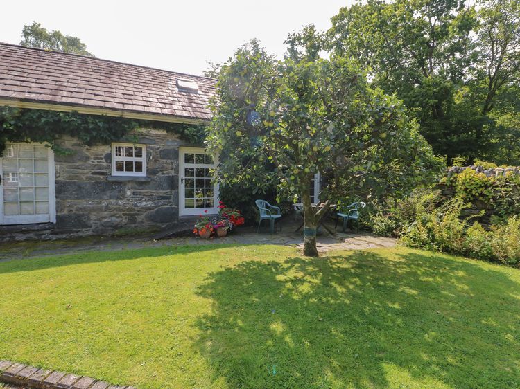
Royal Oak Farm Cottage
Sleeps 2 · 1 bed
- No dogs
from £337 / week
Check dates for Royal Oak Farm Cottage (opens the booking site in a new tab)Checked 8 Oct
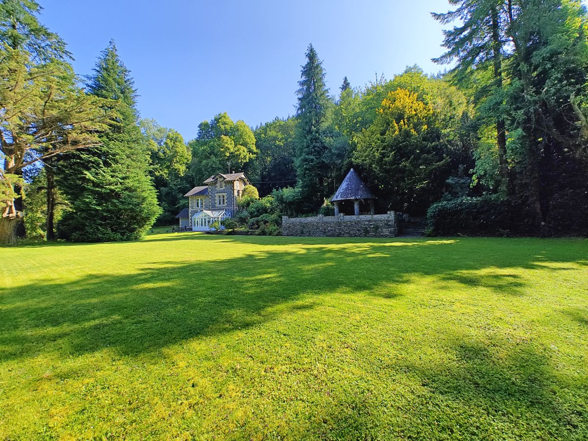
Betws-y-Coed, North Wales
Coed Y Celyn Lodge
Sleeps 8 · 4 beds
- Dogs
from £1,119 / week
Check dates for Coed Y Celyn Lodge (opens the booking site in a new tab)Checked 5 Oct
Distances, ascent and times here are planning figures taken from published sources, not a route description to navigate by. Take a map and check the forecast.