Moel Siabod from Pont Cyfyng
Near Betws-y-Coed, Eryri
- Distance
- 9.8 km
- Ascent
- 727 m
- Time
- 5 hr 10 min
- Difficulty
- Moderate
- Summit
- 872 m
- Shape
- Circular
Start: Bryn Glo car park, near Pont Cyfyng
Grid ref: SH 735571
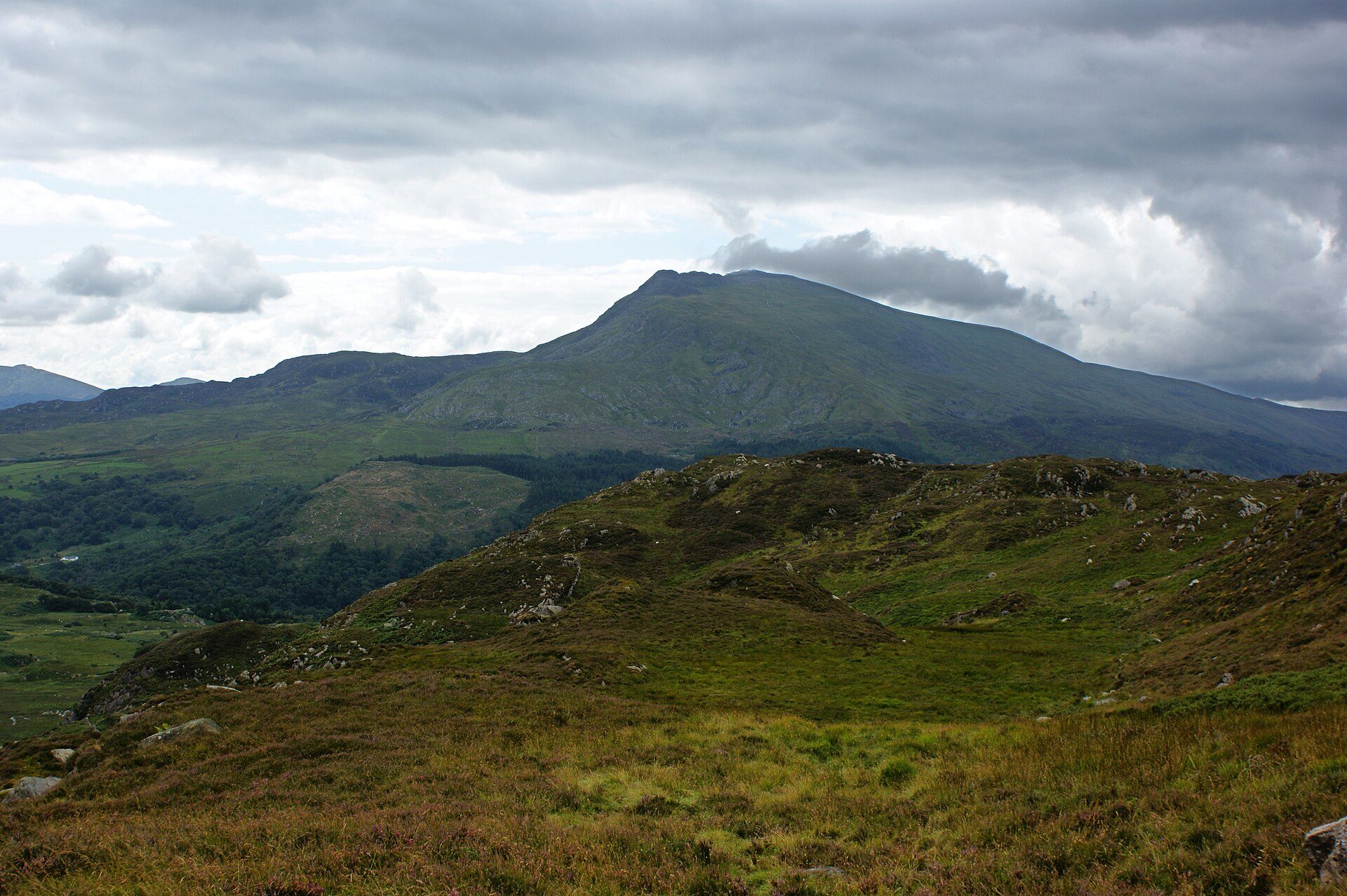
Moel Siabod is the highest summit of the Moelwynion at 872m, and Wikipedia notes that it stands isolated above Dolwyddelan with the national mountain centre Plas y Brenin at its foot. The meaning of its name is disputed: William Williams proposed in 1802 a bare hill with new-fallen snow on its crown, while a 1928 study favoured a Middle English word for scabbed. Wikipedia repeats the reputed claim, citing Terry Marsh and the Nuttalls, that thirteen of the fifteen Welsh 3000s can be seen from the top.
Walking Britain starts at the Bryn Glo car park, crosses the A5 and the Afon Llugwy at Pont Cyfyng, and takes a tarmac lane uphill through woods before an unsurfaced track climbs past a nameless tarn and a quarry pool to Llyn y Foel, a lake with a single island. Wikipedia warns that the terrain around it is boggy and that the path from Pont Cyfyng often runs as a stream. Beyond the lake a less obvious path rises among rocks and heather and round the back of the ridge, avoiding the steepest scree below the plateau, before easy basic scrambling reaches the summit. The descent crosses grass to the north-east, passes a wall and drops through forest to the river. Betws-y-coed is the nearest base on this site.
Walking Britain, which points to Ordnance Survey Explorer OL17 for the area, gives 9.8km and 727m of ascent, graded moderate, at around five hours ten minutes. It suits a walker comfortable with a few rock steps and a path that is not always obvious. Anyone who wants a firm, signed path throughout, or a day without bog, should look elsewhere. For a woodland climb to a lake that starts in the village itself, Llyn Elsi is the lower option.
Underfoot
A tarmac lane, then an unsurfaced track past a slate quarry to the lake Llyn y Foel, with muddy and boggy minor paths beside it. A less obvious path climbs among rocks and heather to the summit ridge, where easy basic scrambling leads to the top. The descent crosses grass, passes a wall and drops through forest.
Stay within reach of the start
Everything here is inside 14 km of Moel Siabod from Pont Cyfyng.
Booking links on these earn us a commission. The price you pay is the same either way.
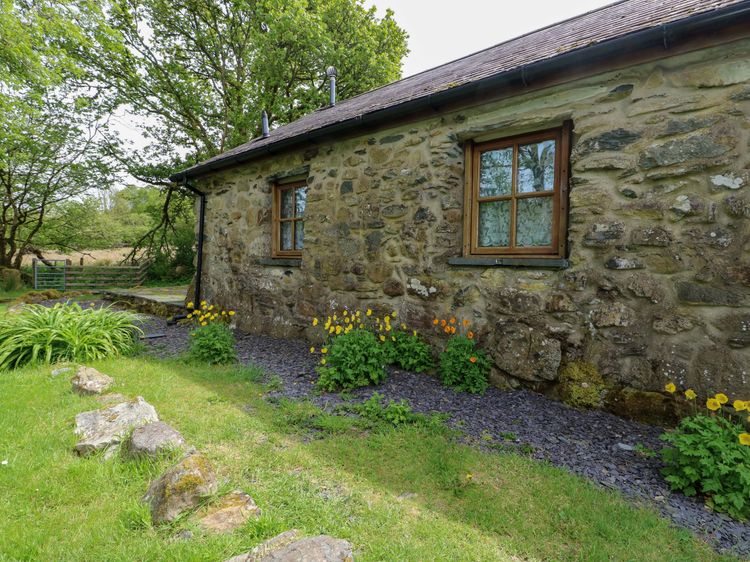
Capel Curig
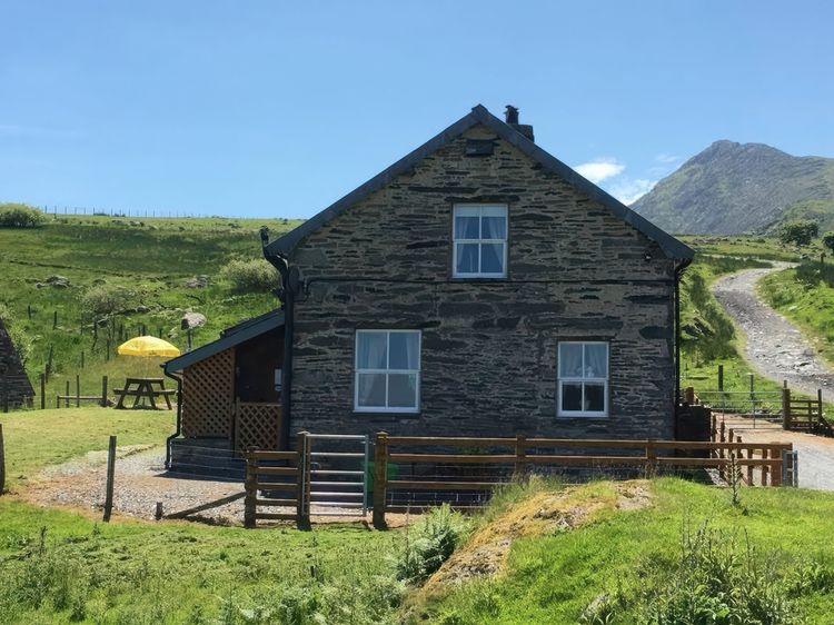
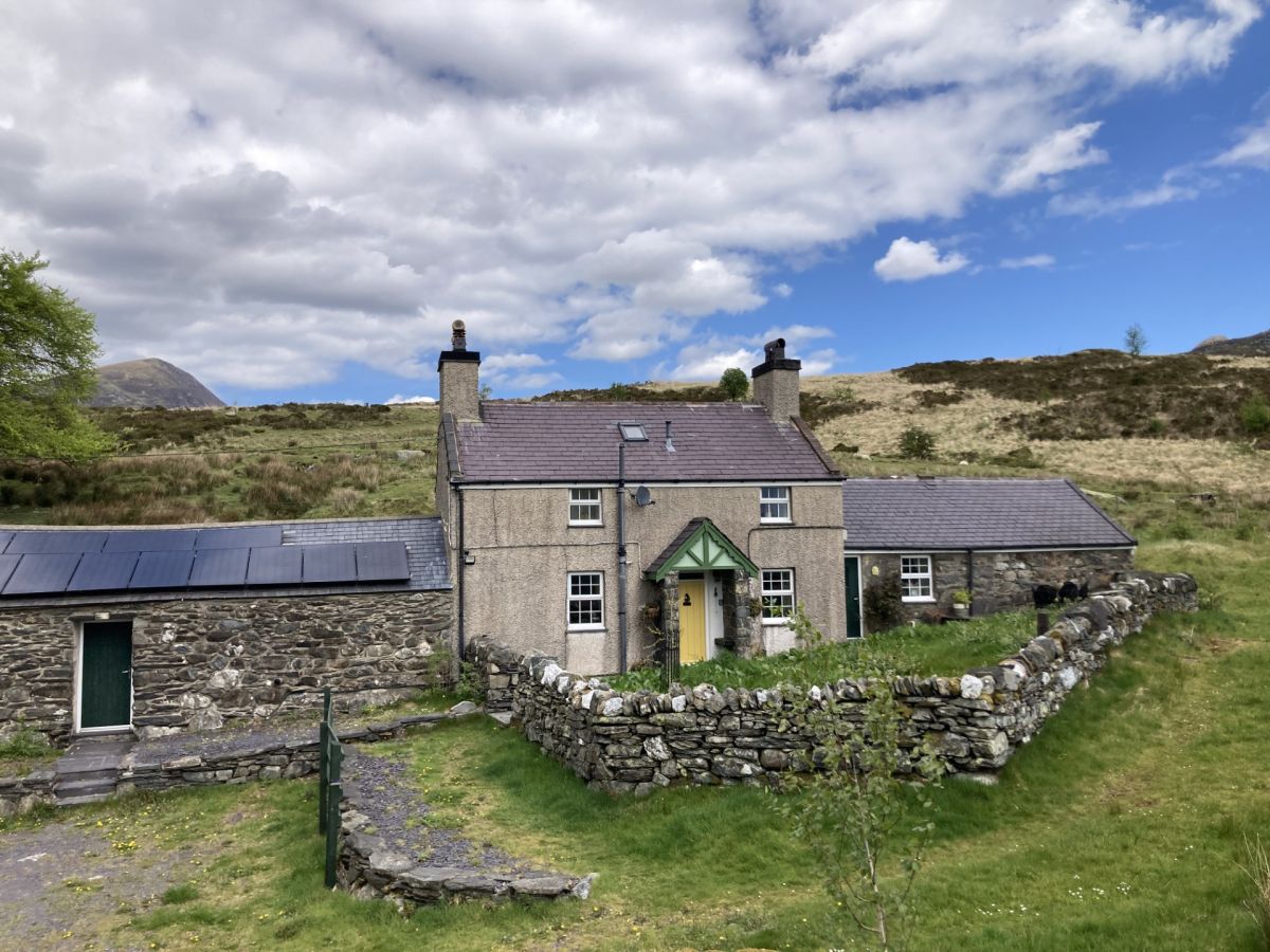
Bythyn Ddol Hafod
Sleeps 4 · 2 beds
- Wood burner
- Dogs
from £1,009 / week
Check dates for Bythyn Ddol Hafod (opens the booking site in a new tab)Checked 8 Oct
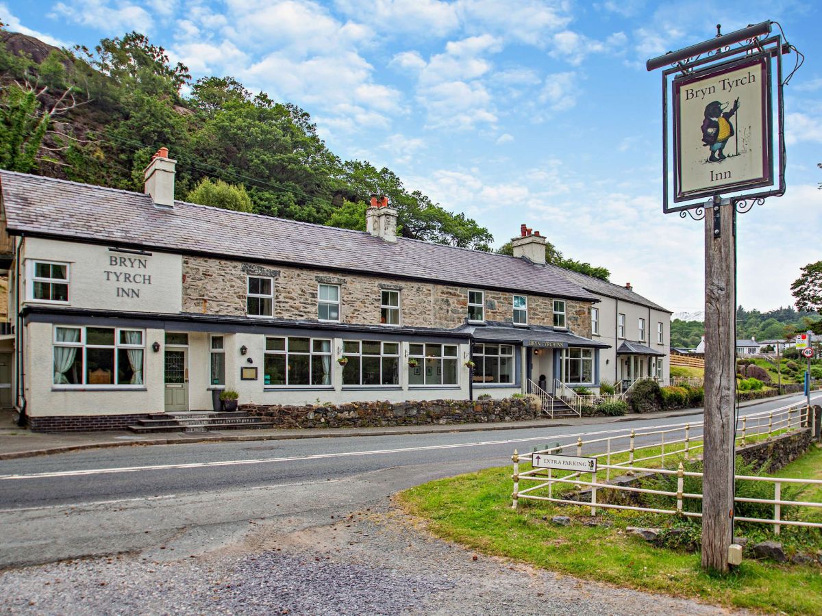
Capel Curig, near Betws-y-Coed, North Wales
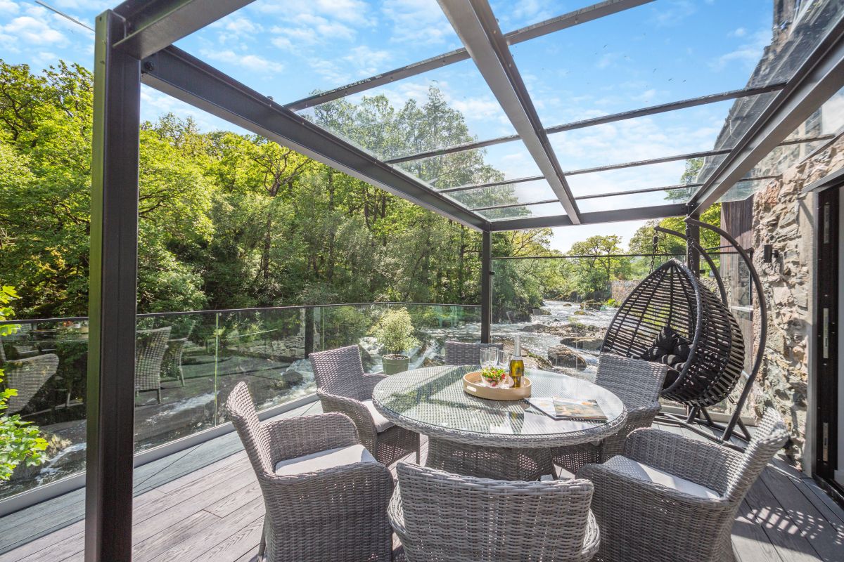
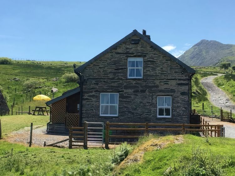
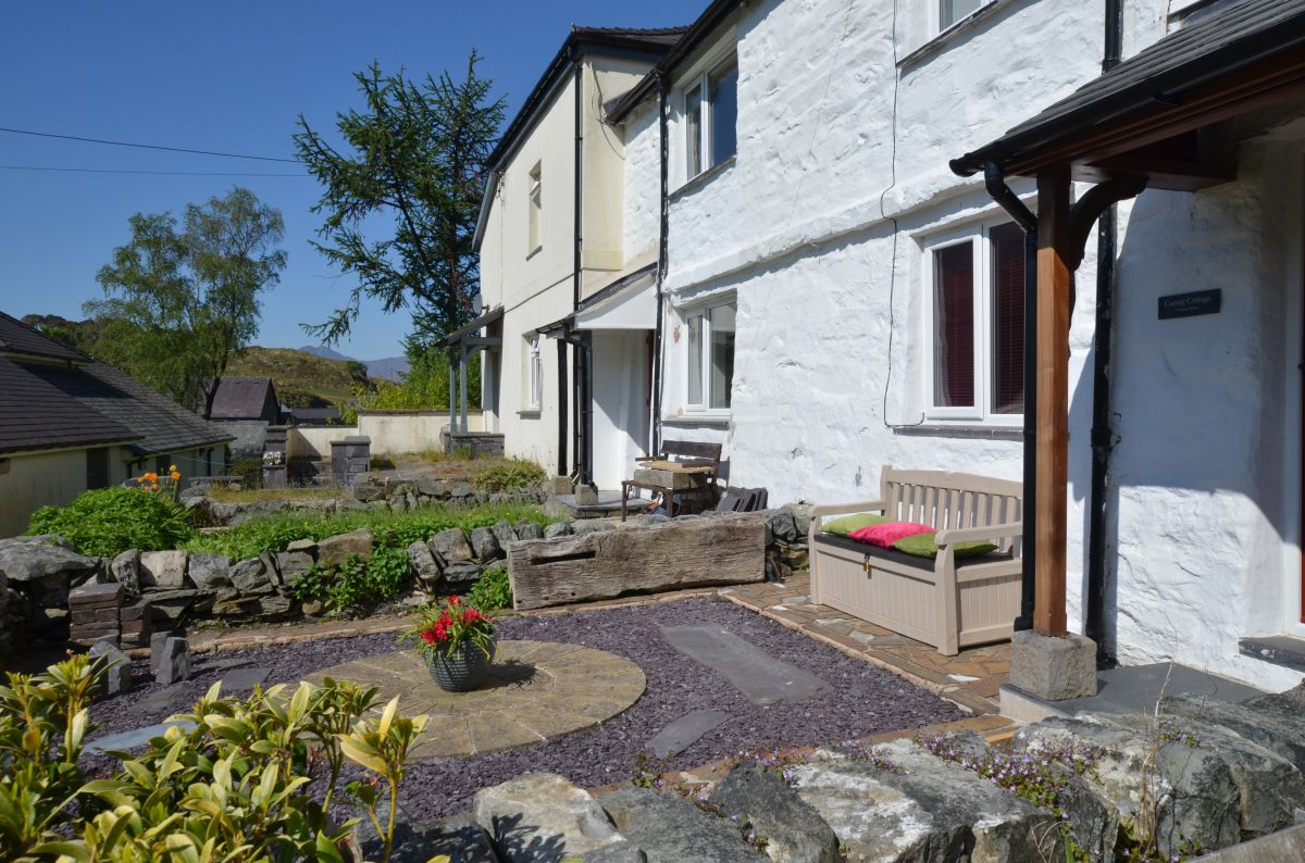
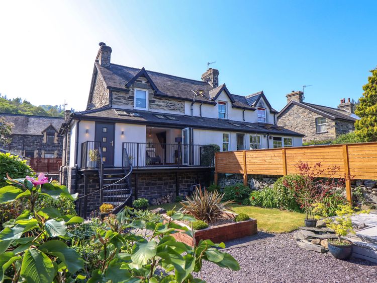
The Bryn At Capel
Sleeps 24 · 12 beds
- Dogs
from £6,041 / week
Check dates for The Bryn At Capel (opens the booking site in a new tab)Checked 5 Oct
Distances, ascent and times here are planning figures taken from published sources, not a route description to navigate by. Take a map and check the forecast. We do not publish conditions, because nothing on this page is updated often enough for you to trust it on the day.