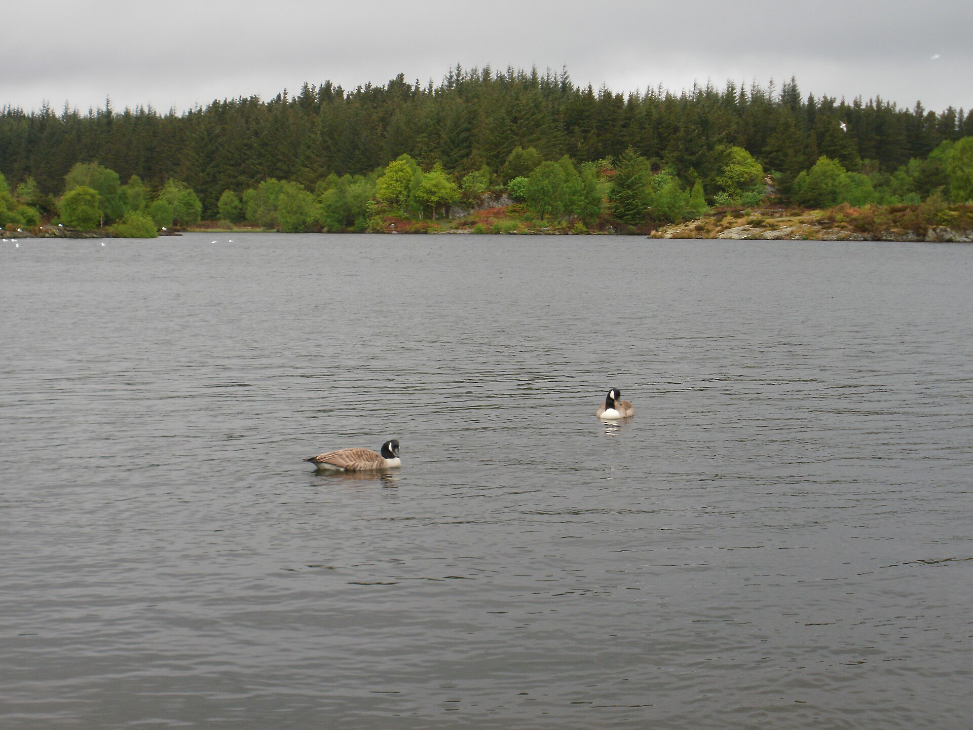
Llyn Elsi
A reservoir lake in Gwydir Forest above Betws-y-Coed, reached by a steep climb from the village through mixed woodland.
- 6.2 km
- 318 m up
- 2 hr 30 min
- Hard
A station on the Conwy Valley line, and forest walks from the door.
Betws-y-Coed
0.2 km by road
10
131
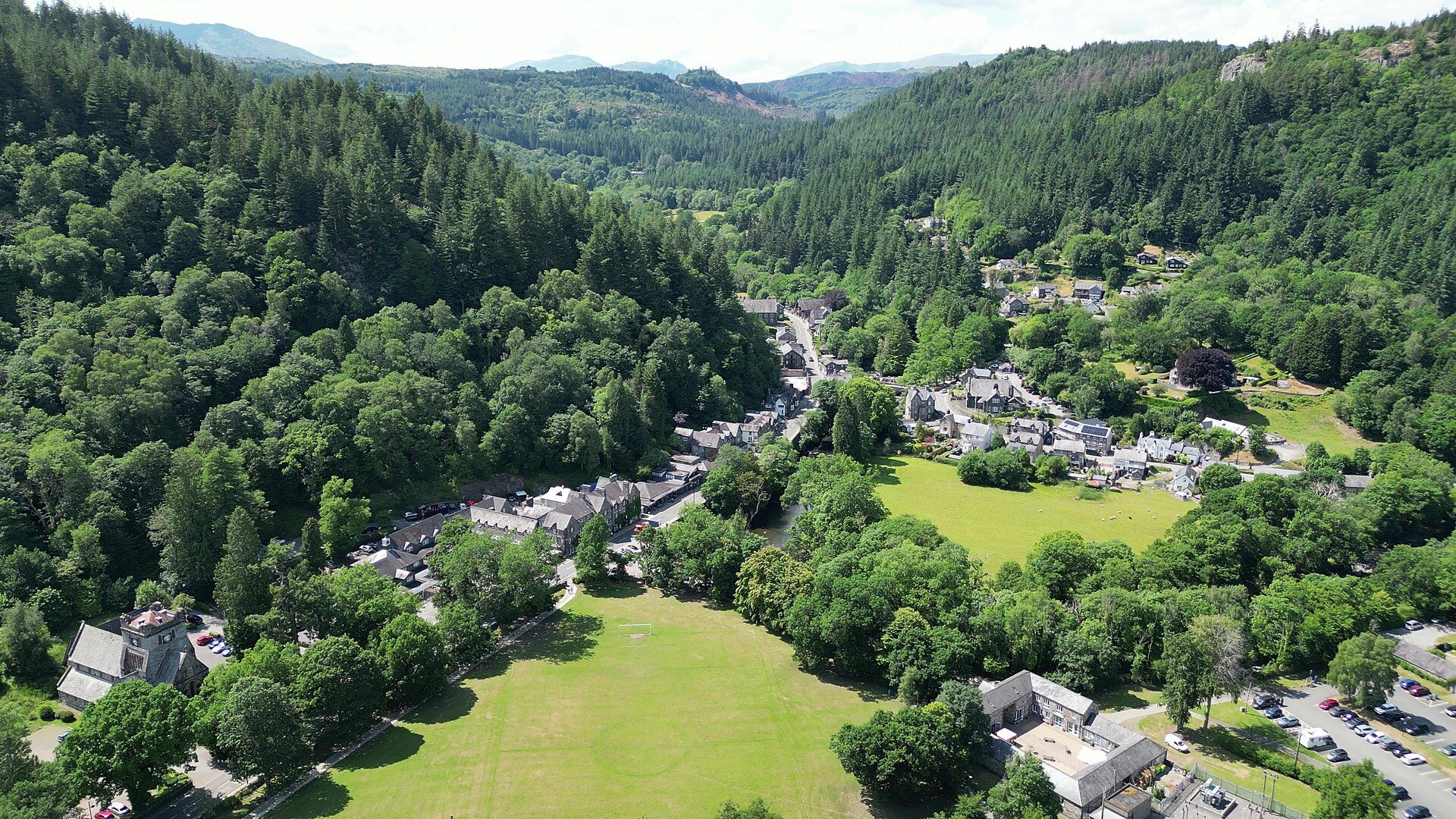
Betws-y-Coed sits where the Afon Llugwy and Afon Lledr meet the Afon Conwy, in a wooded stretch of the Conwy Valley on the eastern edge of Eryri. It grew from a small settlement into a Victorian tourist centre after Thomas Telford’s 1815 road brought coach traffic through, and the railway that followed in 1868 added around 500 people to the village. That railway is still the reason this village works differently from the rest of the region.
Betws-y-Coed has its own station on the Conwy Valley Line, which runs between Llandudno and Blaenau Ffestiniog, and the station sits beside the village green, a short walk from every guesthouse and cottage in the centre. Blaenau Ffestiniog, at the southern end of the line, is where Zip World’s underground slate-cavern site is, so that is within reach by train as well as road.
The forest paths above the village, including the walk up to Llyn Elsi, start from the streets themselves. Swallow Falls, on the Afon Llugwy, is a couple of miles out along the A5, and Visit Wales names the Sherpa’r Wyddfa S1 and the TrawsCymru T10 as the buses to it from the village. Further afield, the classic mountain days around Capel Curig and Ogwen, among them Tryfan, Carnedd Llewelyn, the Glyderau and Moel Siabod from Pont Cyfyng, are a drive along the A5, not a walk from the door, so a car opens up a lot more than the village itself offers.
Betws-y-Coed is built for visitors: cafes, outdoor shops, a National Park information point and several hotels cluster around Pont-y-Pair, the old bridge over the Llugwy. St Michael’s, the older parish church, predates the Victorian St Mary’s, which was built for the tourist trade the railway created. Gwydir Forest wraps around the village on three sides, which is what makes the short, waymarked walks possible straight from the centre without needing to drive anywhere first.
The Conwy Valley Railway Museum sits right by the station, with a mile of miniature steam track, model railways working at the push of a button, and rides built for small children rather than train enthusiasts alone, an obvious choice on a day when nobody wants to go far. Llyn Elsi is the walk to save for children who can manage a real climb: the path out of the village climbs in a single steep pull before it reaches the lake, and there is no easier way up. Swallow Falls, by contrast, needs almost no walking at all, a short paved path from the car park to the main viewing platform, though the lower tiers involve steps. Zip World Llechwedd’s underground trampoline caverns, a short train ride or drive over to Blaenau Ffestiniog, take children from about a metre tall, with a parent expected to bounce alongside anyone under thirteen rather than just watch.
The Conwy council-run Pont-y-Pair pay-and-display car park sits in the village (54 spaces plus 7 disabled bays), with further parking at Royal Oak Stables and by the station.
The A5 (Telford's original coach road) runs straight through the village and on to Capel Curig and the Ogwen valley.
A reservoir lake in Gwydir Forest above Betws-y-Coed, reached by a steep climb from the village through mixed woodland.
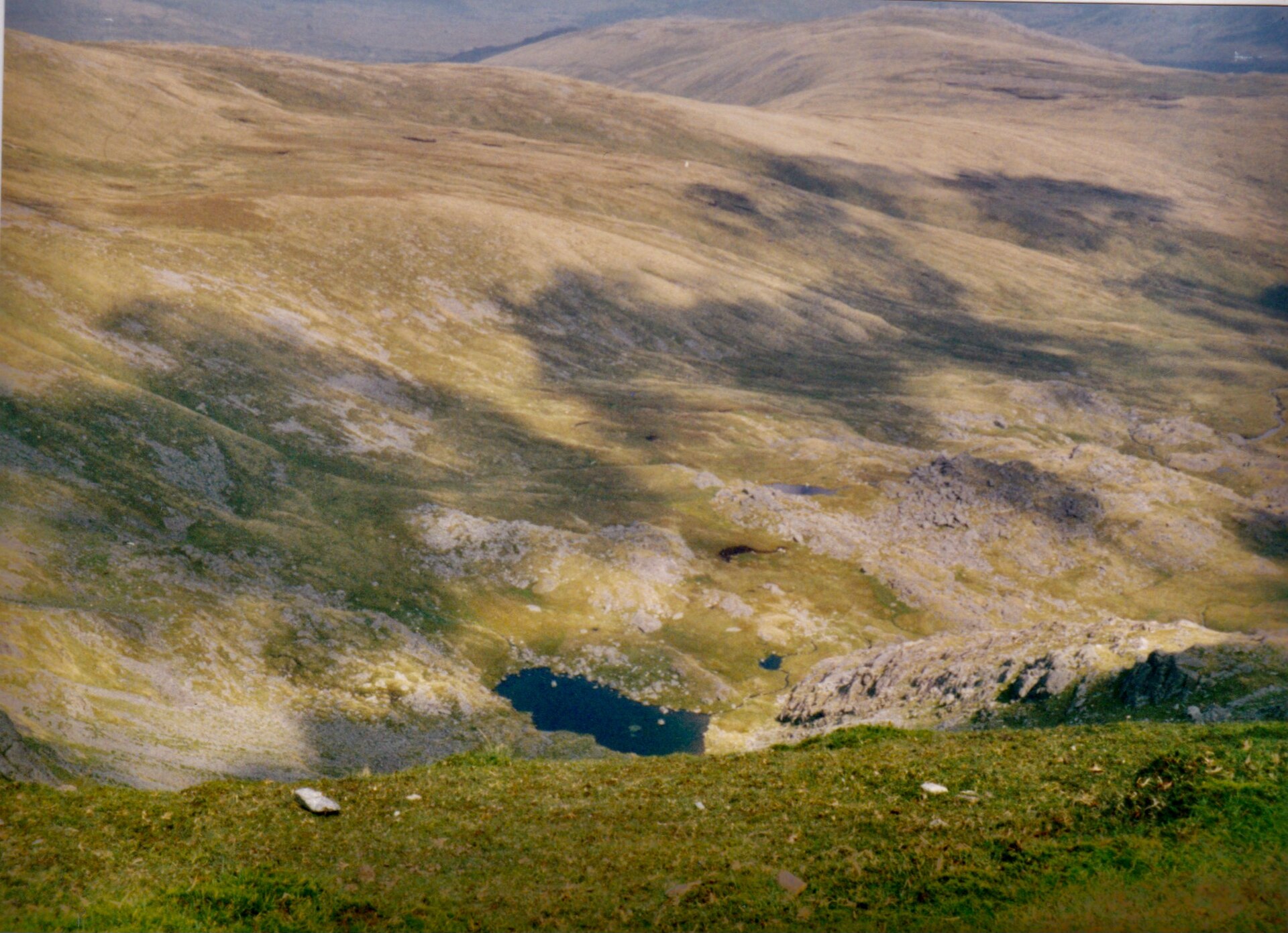
The Carneddau's 1,064m high point, second only to Yr Wyddfa in Wales by prominence, on a long ridge day from the A5 near Ogwen.
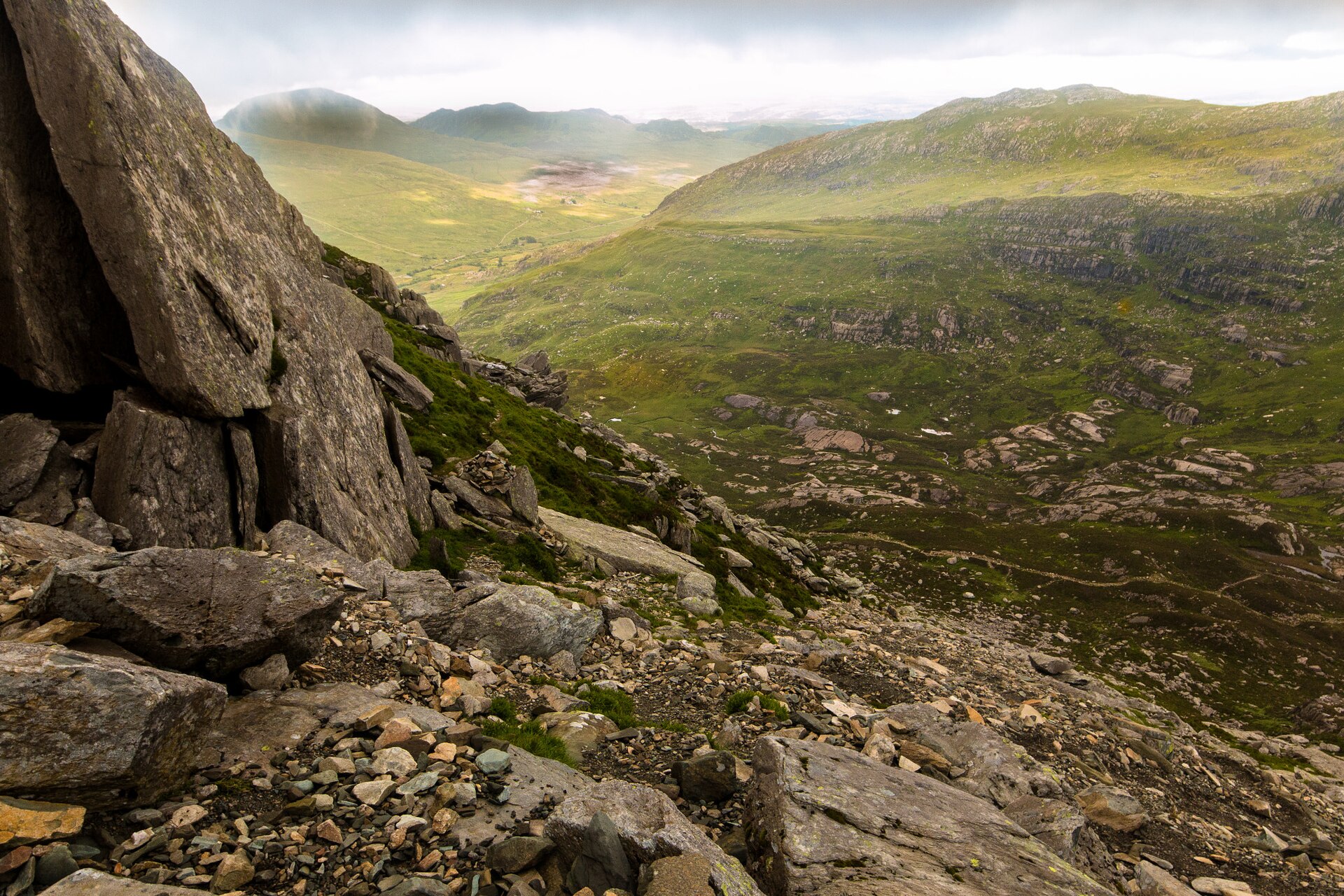
A grade 1 scramble up Tryfan's North Ridge above Llyn Ogwen to the twin summit stones known as Adam and Eve.
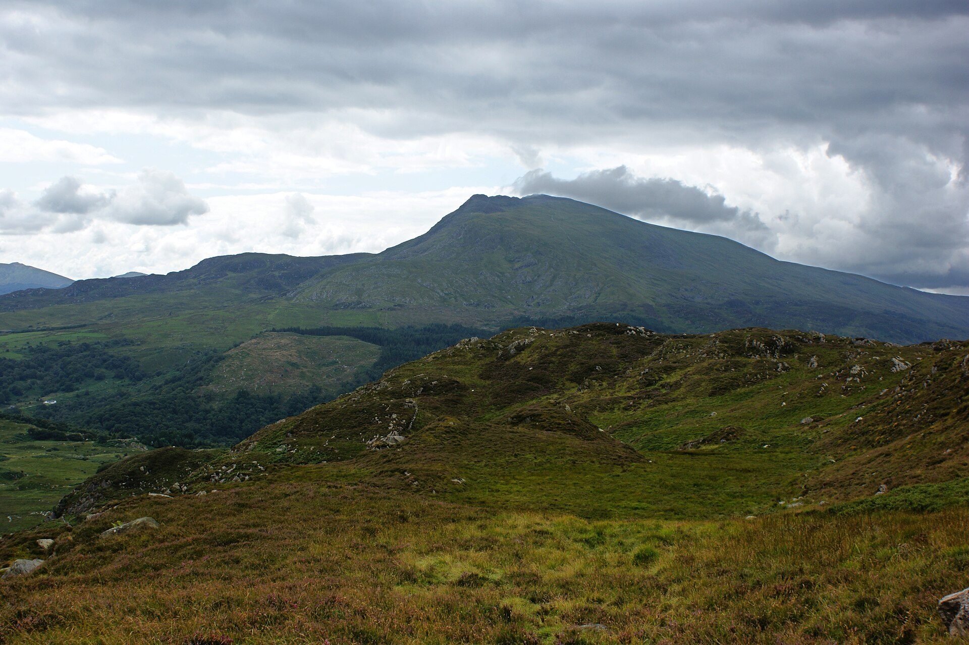
The 872m highest summit of the Moelwynion, climbed from Pont Cyfyng past Llyn y Foel with a short easy scramble at the top.
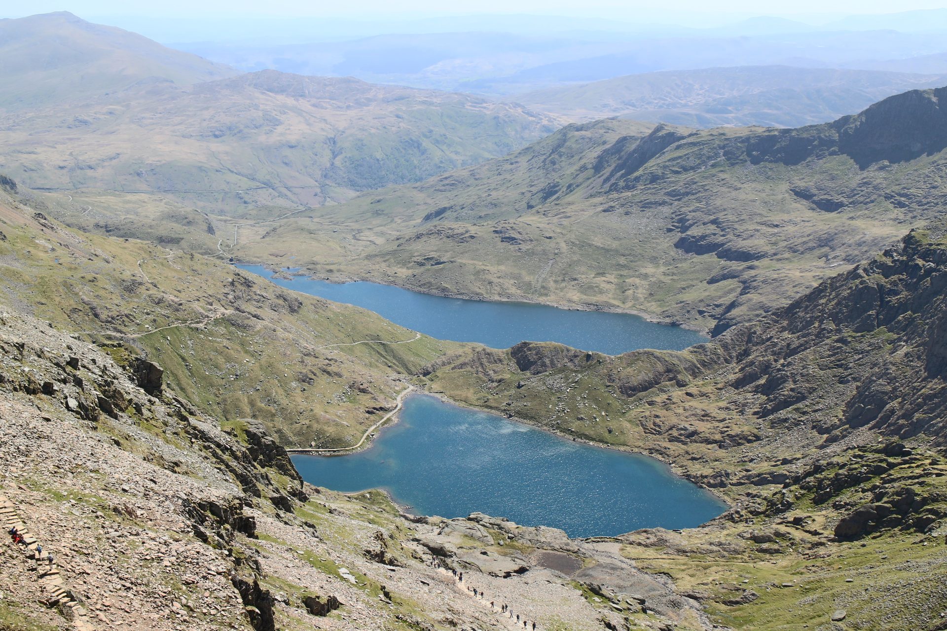
The shortest of Yr Wyddfa's six main paths, a steep, direct line from Pen-y-Pass past Llyn Llydaw to the summit ridge at Bwlch Glas.
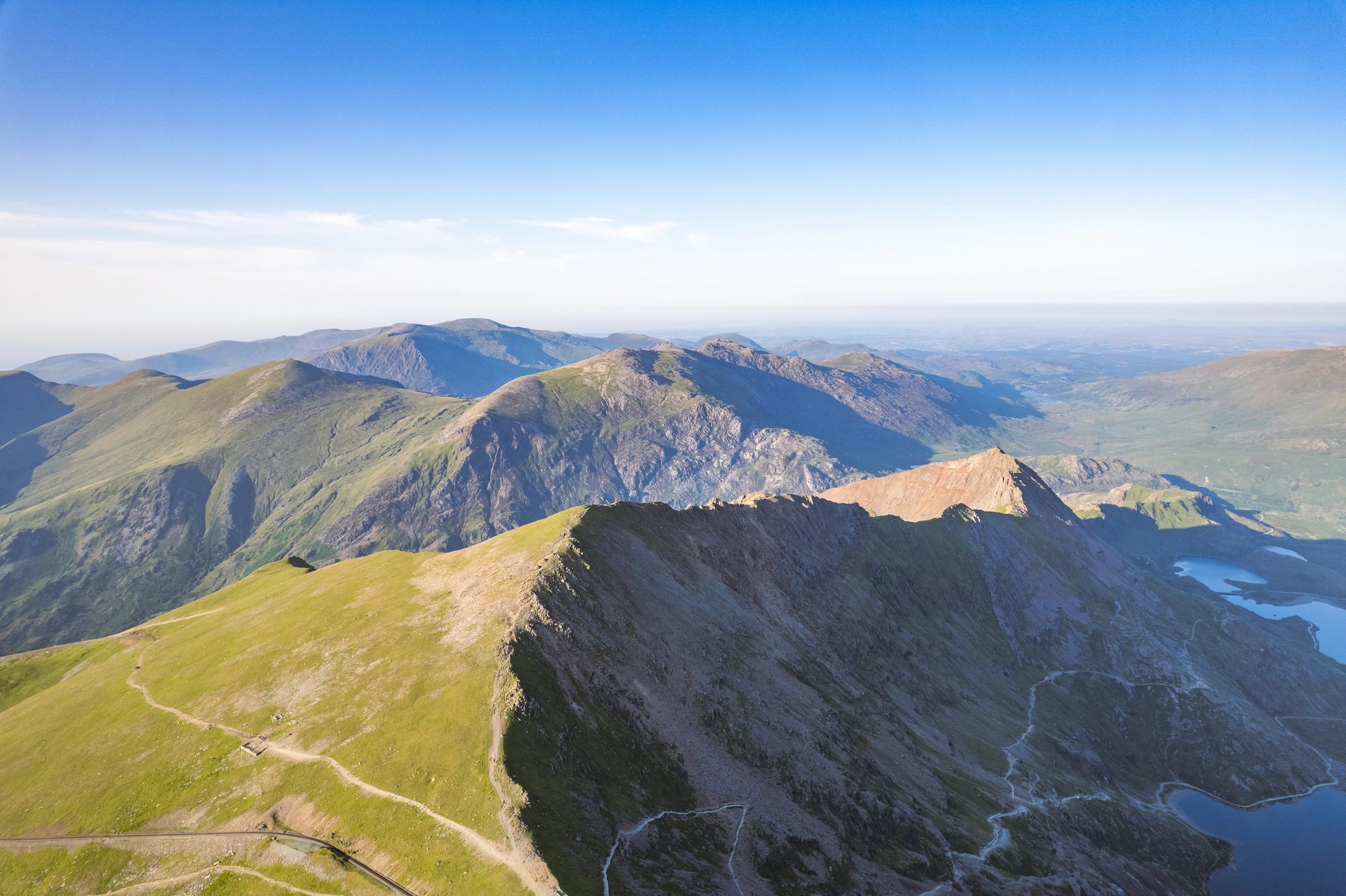
A Grade 1 scramble over Crib Goch's knife-edge ridge and three more summits, 12.2km with 1,152m of ascent from Pen-y-Pass.
Reached by car, by lift or by a short walk, rather than a day on the hill.
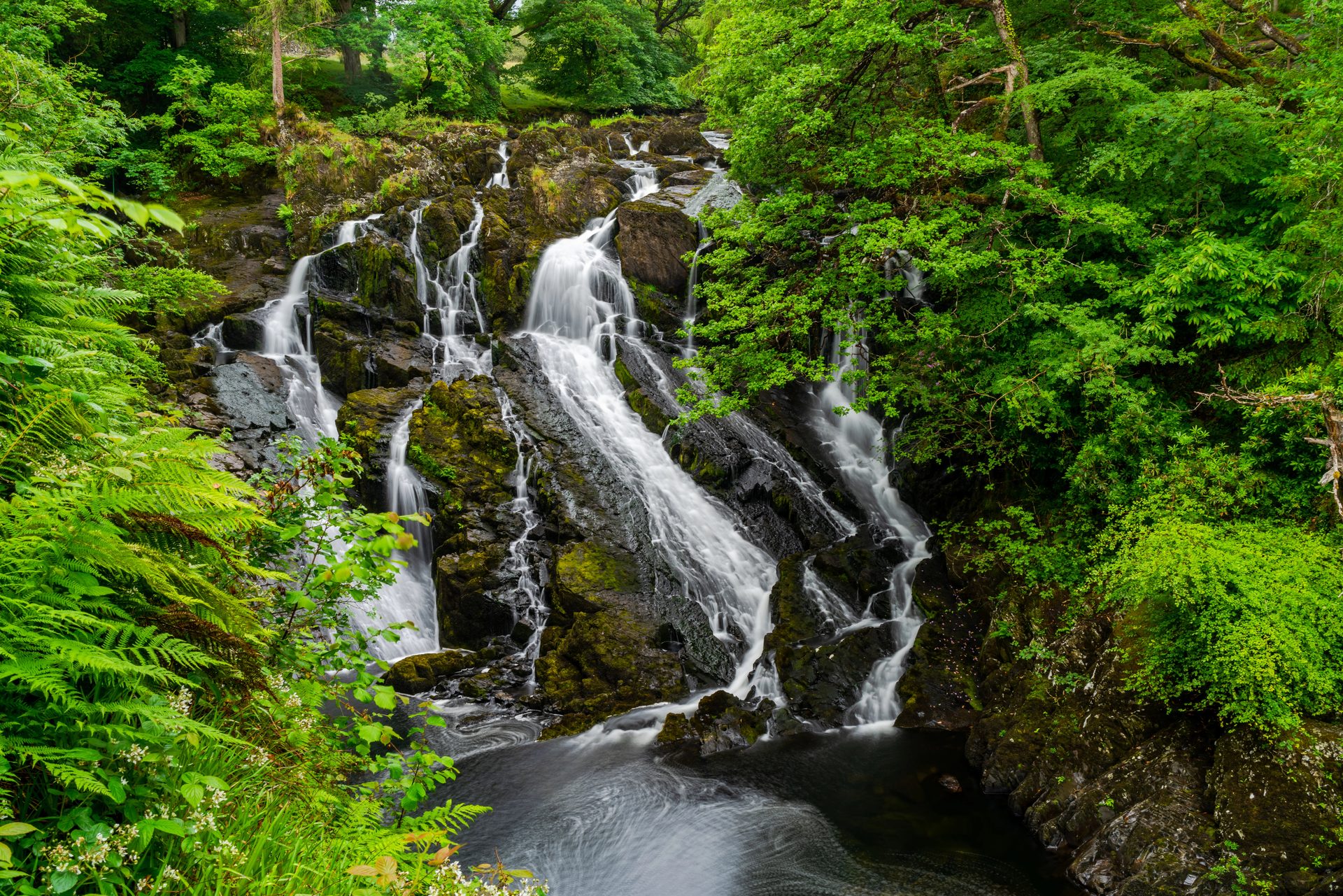
A 42-metre waterfall on the Afon Llugwy, reached by a short paid path with steps from a car park just off the A5.
Trampoline nets strung through a slate cavern at Blaenau Ffestiniog, reachable from Betws-y-Coed by road or the same railway line.
Booking through these links earns a commission. The price is the same.
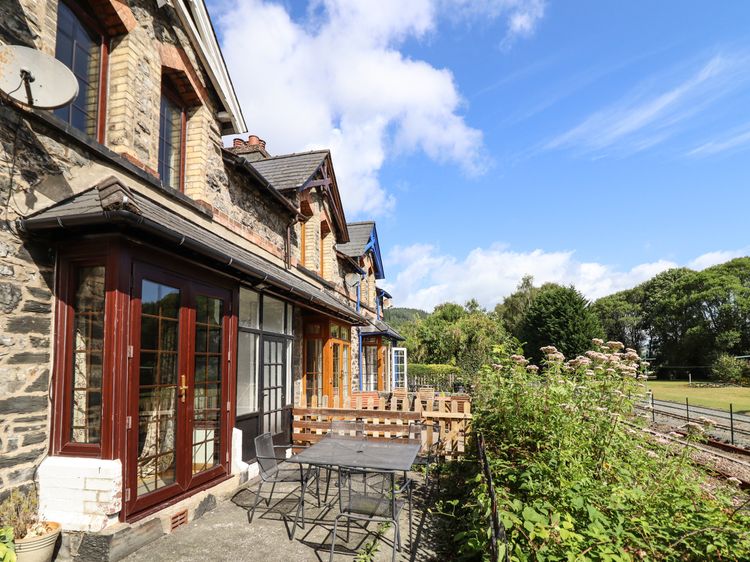
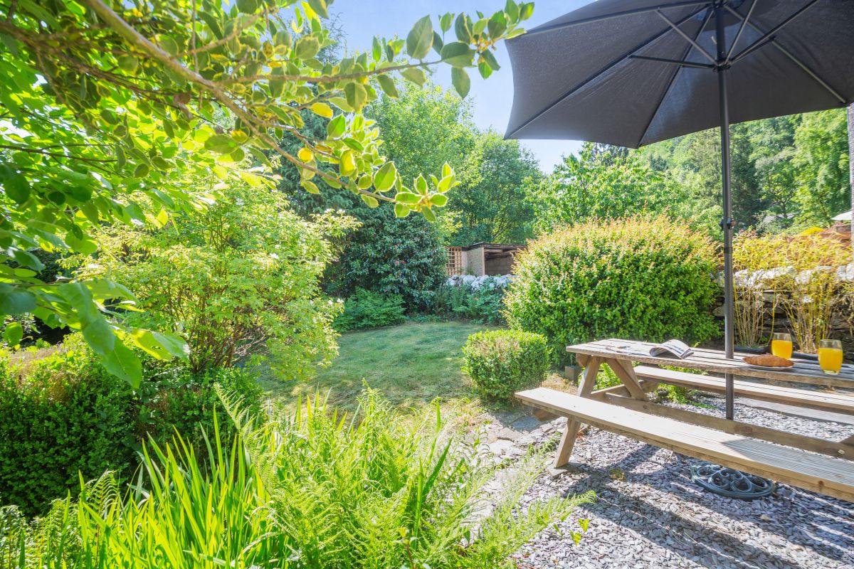
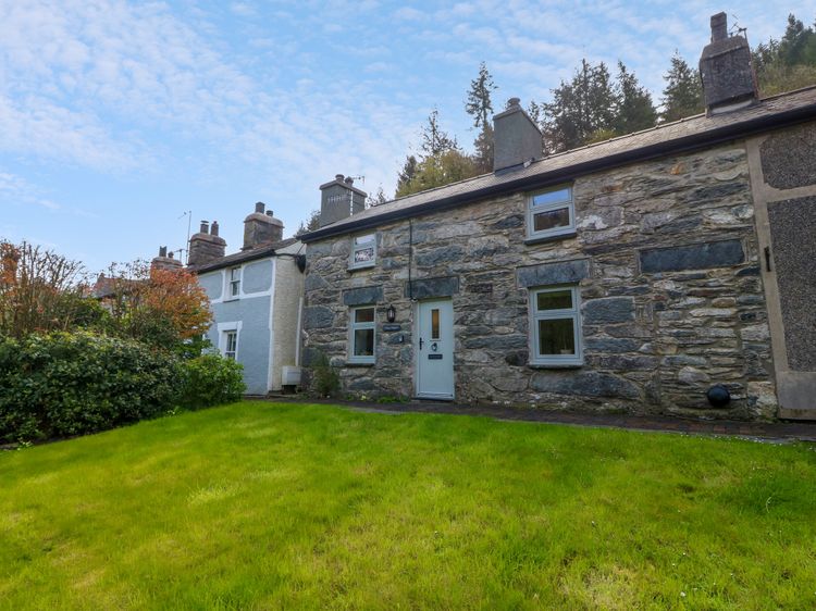
Betws-y-Coed
Sleeps 4 · 2 beds
from £525 / week
Check dates for 3 Railway Cottages (opens the booking site in a new tab)Checked 8 Oct
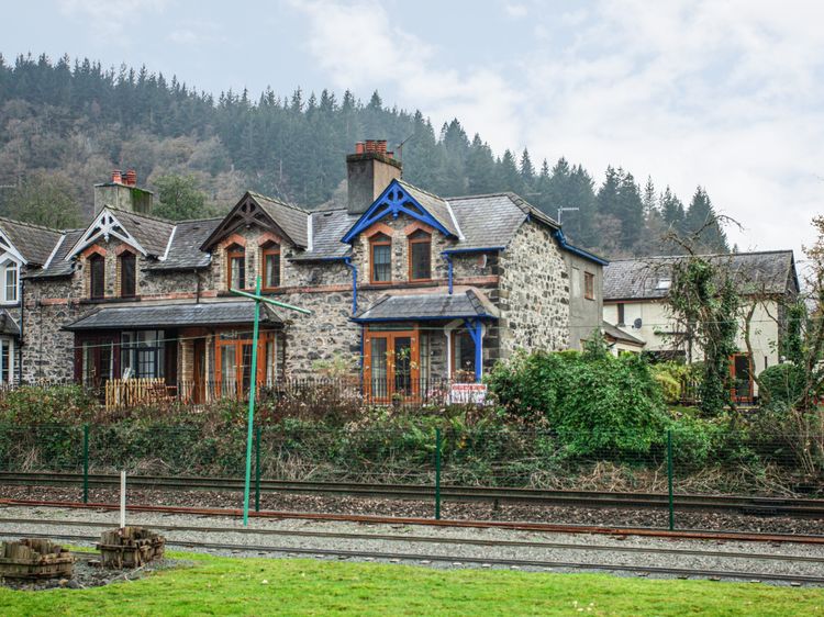
Betws-y-Coed
Sleeps 5 · 3 beds
from £567 / week
Check dates for No 1 Railway Cottages (opens the booking site in a new tab)Checked 8 Oct
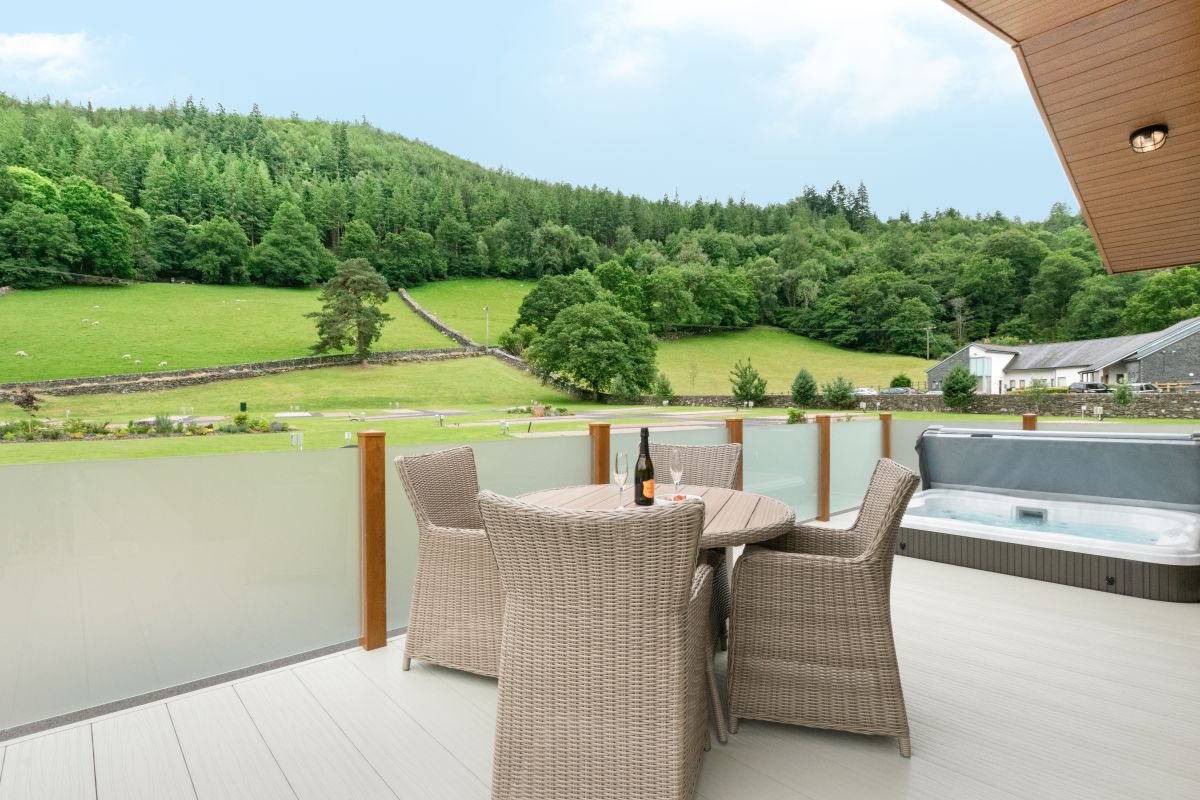
Betws-y-Coed, North Wales
Sleeps 4 · 2 beds
from £1,011 / week
Check dates for Llyn Dinas Lodge (opens the booking site in a new tab)Checked 5 Oct
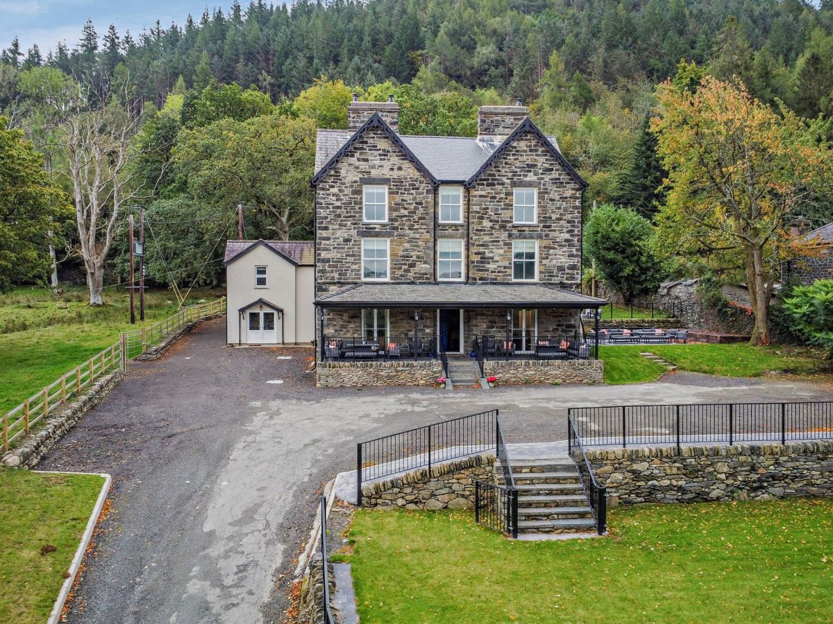
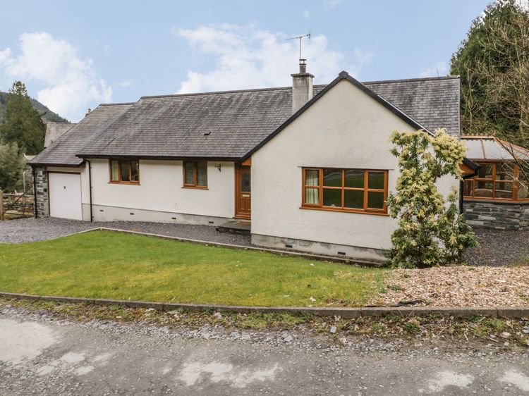
Betws-y-Coed, North Wales
Sleeps 8 · 4 beds
from £1,119 / week
Check dates for Coed Y Celyn Lodge (opens the booking site in a new tab)Checked 5 Oct