Carnedd Llewelyn from Gwern Gof Uchaf
Near Betws-y-Coed, Eryri
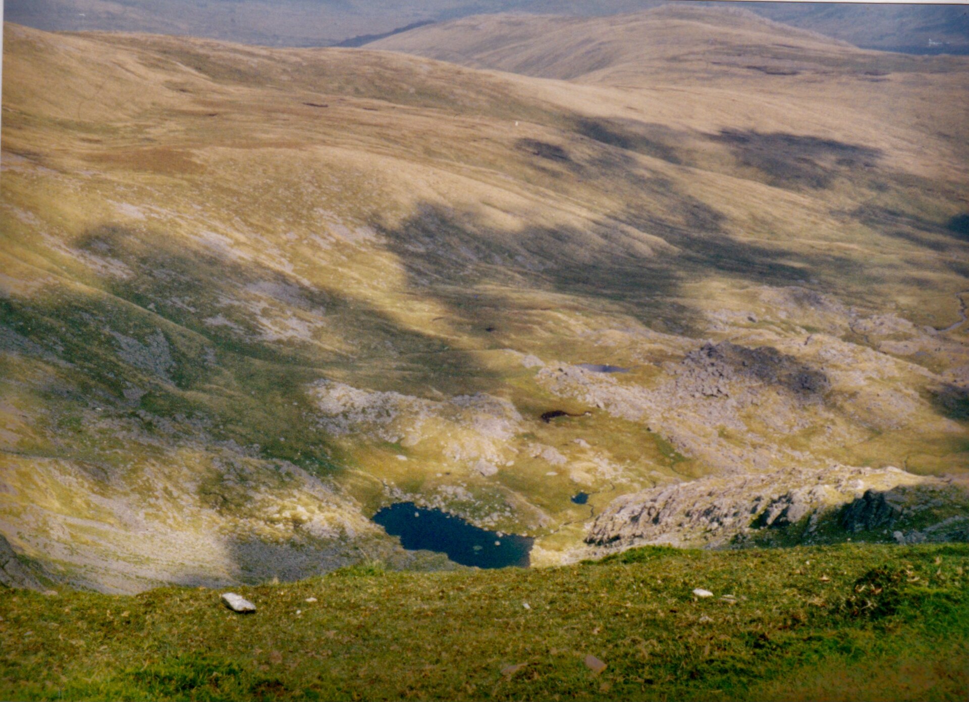
- Distance
- 15 km
- Ascent
- 982 m
- Time
- 6 hr 30 min
- Difficulty
- Hard
- Summit
- 1,064 m
- Parking
- Roadside only
- Dogs
- Yes: on a lead, the National Trust asks
Start: A5 lay-by near the east end of Llyn Ogwen, just west of Gwern Gof Uchaf
Who this suits, and who it does not
142 places to stay within 14 km, from £363 a week See themAt 1,064m in most published sources, though Wikipedia gives 1,061.8m, Carnedd Llewelyn is the highest point of the Carneddau and, Wikipedia records, second only to Yr Wyddfa in Wales by prominence, the summit of a range of broad, rounded mountains north of Llyn Ogwen that feel emptier and less rugged underfoot than the Glyderau or Yr Wyddfa massif across the valley. The route starts from a lay-by on the A5 near the east end of Llyn Ogwen, just past the Gwern Gof Uchaf campsite, a few minutes from the foot of Tryfan’s North Ridge, reached by the same drive up the A5 through Capel Curig from Betws-y-coed.
10Adventures gives the circular round from that lay-by as 15km with 982m of ascent, a total it says counts every rise and fall on the GPS track and runs higher than most guides quote, and it allows between five and a half and seven and a half hours. The climb onto the ridge past Pen yr Ole Wen brings the first of what 10Adventures calls several scrambles, and it asks for care scrambling down again towards Bwlch Eryl Farchog; above that the path crosses a summit plateau that stays above 3,000ft for roughly three miles, a flat, boulder-strewn expanse linked south-west to Carnedd Dafydd, north to Foel Grach and by a spur north-west to Yr Elen. The National Trust’s Carneddau and Glyderau estate holds over 1,000 archaeological sites, seven of them scheduled ancient monuments, and feral ponies live on the range; Wikipedia describes the Carneddau ponies as a genetically distinct population.
At 15km and 982m of ascent over as much as seven and a half hours, this is a long, serious day on ground that gives few landmarks in cloud, and it is the wrong choice for a first hill day or for anyone wanting a short outing. It suits an experienced walker who wants scale and empty ground rather than scrambling, since beyond its few short scrambles this is a walk, not a climb. For a shorter mountain day elsewhere in Eryri, Moel Hebog from Beddgelert asks 8.9km and 758m of ascent.
Underfoot
Broad, rounded Carneddau ground that stays above 3,000ft for around three miles across the summit plateau, with several short scrambles, the first on the climb past Pen yr Ole Wen.
Stay within reach of the start
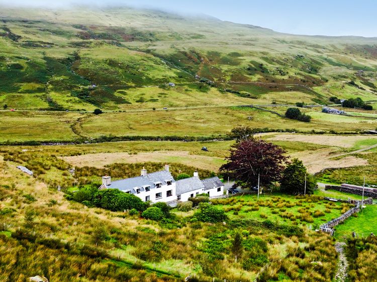
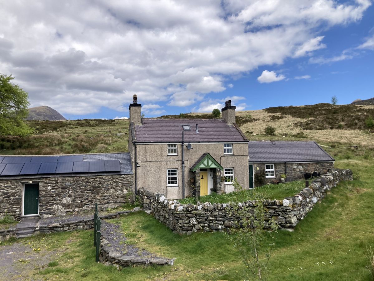
Capel Curig, near Betws-y-Coed, North Wales
Tal-Y-Waun
Sleeps 5 · 3 beds
4.6km from the start of this walk
- Wood burner
- Dogs
from £539 / week
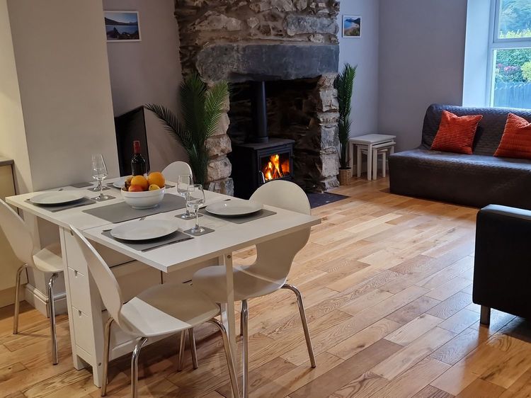
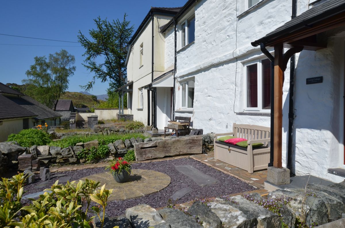
Capel Curig, near Betws-y-Coed, North Wales
Carreg Cottage
Sleeps 4 · 2 beds
5.3km from the start of this walk
- Wood burner
- Dogs
from £479 / week
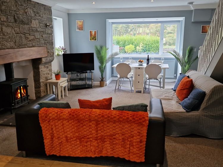
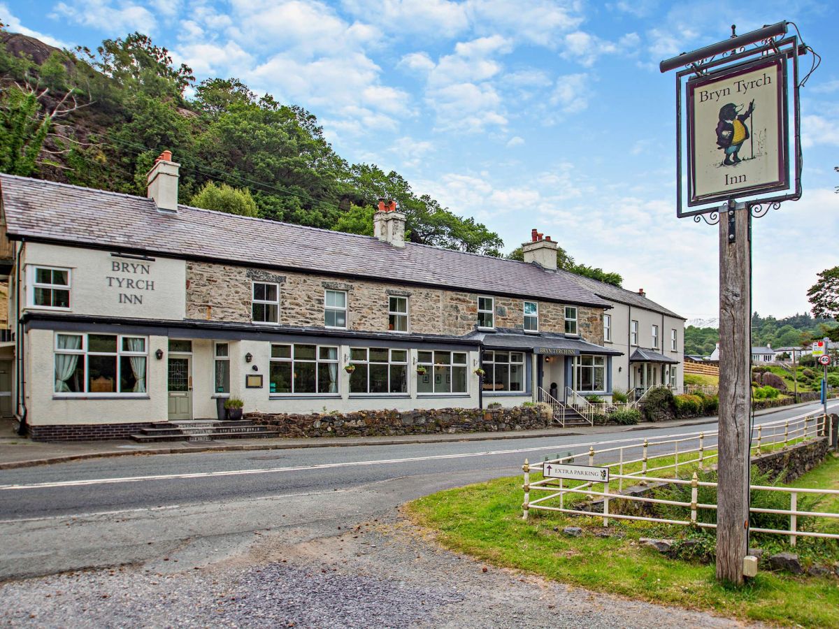
Capel Curig, near Betws-y-Coed, North Wales
The Bryn At Capel
Sleeps 24 · 12 beds
5.8km from the start of this walk
- Dogs
from £6,041 / week
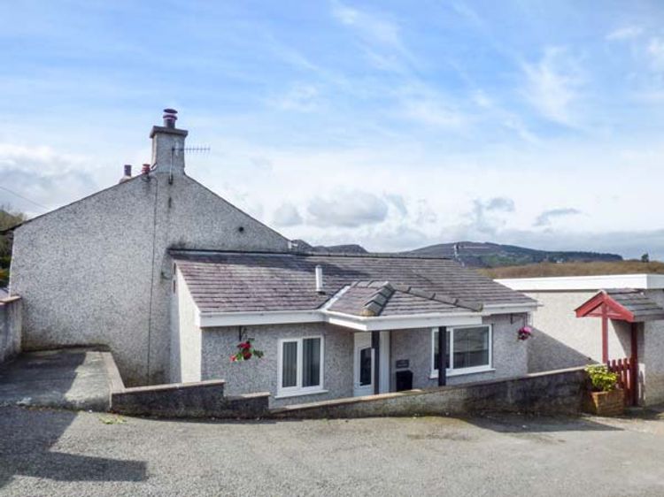
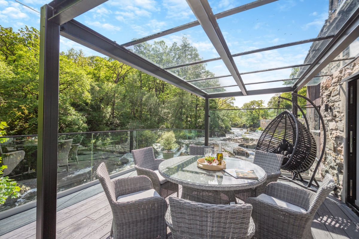
Capel Curig, near Betws-y-Coed, North Wales
Drws Y Coed
Sleeps 6 · 3 beds
6.7km from the start of this walk
- No dogs
from £901 / week
Distances, ascent and times here are planning figures taken from published sources, not a route description to navigate by. Take a map and check the forecast.