Moel Hebog
Near Beddgelert, Eryri
- Distance
- 8.9 km
- Ascent
- 758 m
- Moving time
- 5 hr
- Difficulty
- Moderate
- Summit
- 783 m
- Shape
- Circular
- Parking
- Paid
- Dogs
- Yes: on a lead near livestock, Perthi Holiday Cottages says
Start: Beddgelert village car park
Grid ref: SH 587481
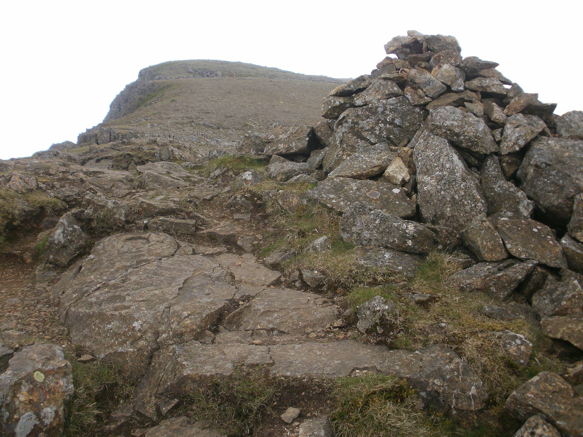
Moel Hebog dominates the view west from Beddgelert, and the standard route to its summit starts right from the village car park. The name means hill of the hawk. Geologically the mountain belongs to the Snowdon Volcanic Group, built from a complex sequence of Cambrian and Ordovician rock.
The plantation on its lower slopes is Beddgelert Forest, a walking and cycling forest that Natural Resources Wales manages. Walking Britain’s route heads out of the village along the A4085, crosses the river and takes a track through woodland past a barn before turning uphill onto open ground, where the gradient steepens noticeably and the final approach to the summit needs hands as well as feet on a couple of short sections. The descent drops back through forestry plantation to Beddgelert, where Walking Britain warns that navigation is difficult and some tracks lead to dead ends. From the top, on a clear day, the view takes in Yr Wyddfa and the rest of the Eryri massif, the Nantlle Ridge, and the coast of Cardigan Bay.
Moel yr Ogof, the neighbouring summit and part of the same ridge system, holds a cave traditionally associated with Owain Glyndŵr. Reaching it means extending the walk beyond the standard route described here.
At 8.9 kilometres and 758 metres of ascent, this is a full-day mountain walk, five hours without stops on Walking Britain’s timing and rated moderate rather than hard, a sensible step up for walkers who have done a shorter Eryri hill and want more height and more solitude than the crowded paths up Yr Wyddfa offer. The scrambling near the top is unavoidable on the direct line, which rules it out for anyone wanting a gentle outing; from the same village, the riverside path through the Aberglaslyn Pass is that walk.
Underfoot
Level trail out of the village, then steepening open ground with short, light scrambling sections near the summit, descending through forestry plantation.
Stay within reach of the start
Booking through these links earns a commission. The price is the same.
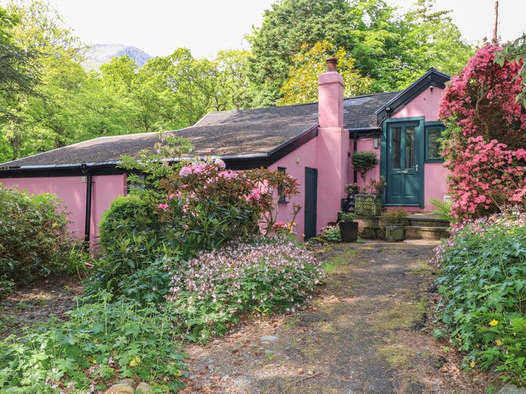
Nant Gwynant, near Beddgelert, North Wales
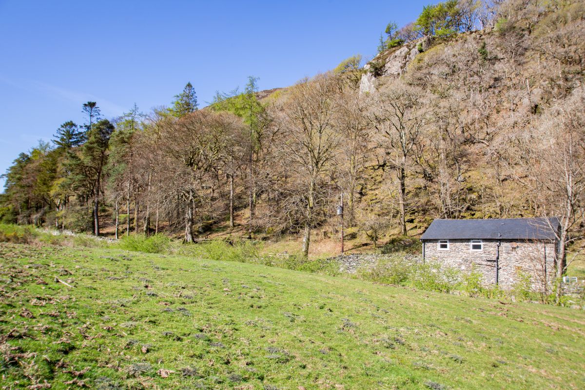
Moel Hebog Barn
Sleeps 6 · 3 beds
- Dogs
from £733 / week
Check dates for Moel Hebog Barn (opens the booking site in a new tab)Checked 5 Oct
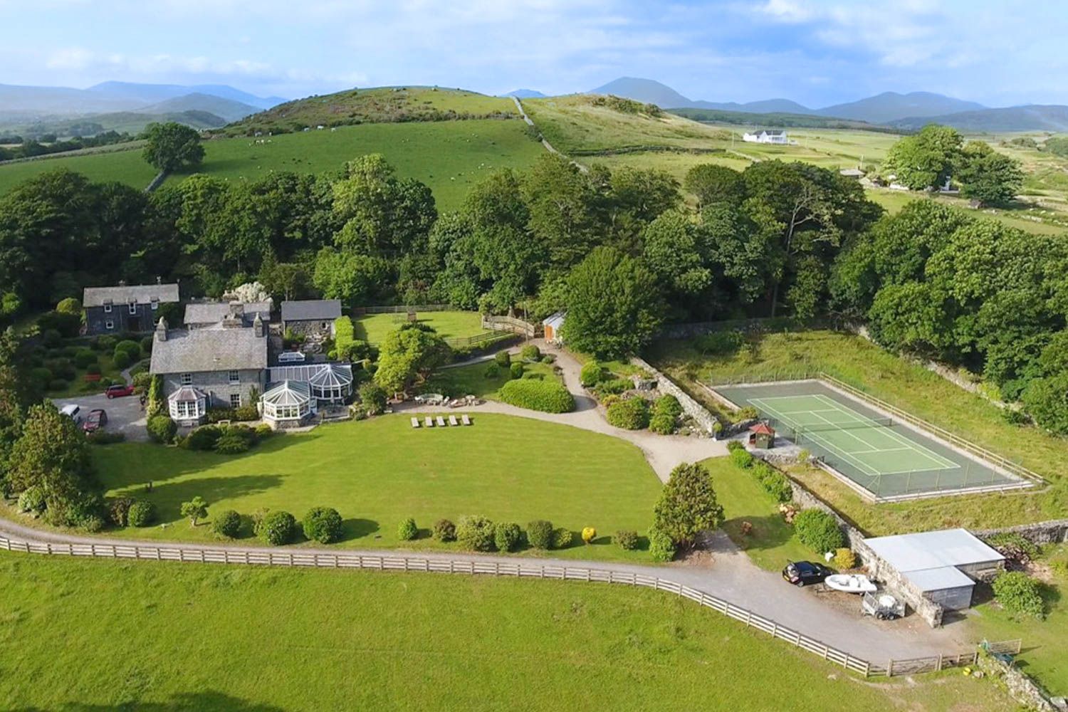

Cwmystradllyn, near Porthmadog, North Wales
Bryn Ystrad Llyn
Sleeps 8 · 4 beds
- Wood burner
- No dogs
from £763 / week
Check dates for Bryn Ystrad Llyn (opens the booking site in a new tab)Checked 5 Oct
Distances, ascent and times here are planning figures taken from published sources, not a route description to navigate by. Take a map and check the forecast.