Aberglaslyn Pass
Near Beddgelert, Eryri
- Distance
- 5 km
- Time
- 1 hr 30 min
- Difficulty
- Easy
- Shape
- There and back
- Parking
- Paid
- Dogs
- Yes: on a lead, especially near livestock, the National Trust asks
Start: Beddgelert village, via the Fisherman's Path
Grid ref: SH 591482
The Aberglaslyn Pass is a narrow, wooded gorge on the Afon Glaslyn, on the old border between Caernarfonshire and Merionethshire, and the walk through it from Beddgelert is one of the easiest outings in this part of Eryri. In the early nineteenth century the river here was navigable by small boats at high tide, as far as the bridge, Pont Aberglaslyn, at the southern end of the pass.
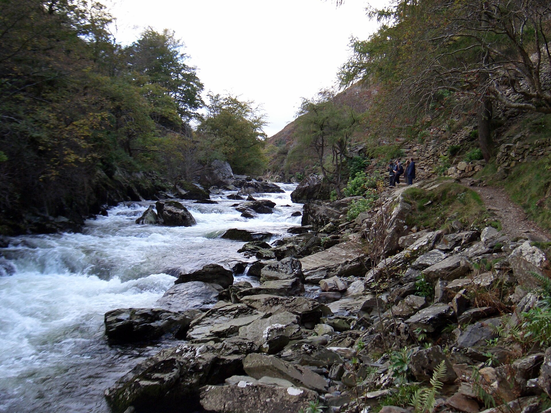
The Fisherman’s Path runs along the riverbank through the gorge; the National Trust owns the surrounding land and, with the railway company, rebuilt the path around 2000. It follows the water closely, on rock in places with metal handholds fixed at the awkward steps, but there is no significant climbing involved. The restored Welsh Highland Railway runs through the same pass on the opposite bank, including a tunnel. For several decades after the original line closed in 1937, walkers used the old trackbed and tunnels themselves, until construction work on the rebuilt railway made that dangerous; the Fisherman’s Path is the way through on foot.
The Bald Scrambler measures the path at 2.5km each way between Beddgelert and the National Trust car park at Nantmor, at the southern end of the gorge, 5km there and back in around an hour and a half; GPS Routes gives 2km from the same car park to the village. The ground is uneven, rocky and slippery after rain rather than steep, it is well within reach of families, and dogs are welcome on a lead. The path suits walkers wanting a short, low-effort walk through a gorge rather than a mountain day. The whole route stays close to the riverbank, so anyone after a full day or real height gain should take Moel Hebog instead, the mountain directly above Beddgelert.
Underfoot
Riverside path through a gorge, on rock with metal handholds fixed at a few awkward steps, following the Afon Glaslyn.
Stay within reach of the start
Booking through these links earns a commission. The price is the same.
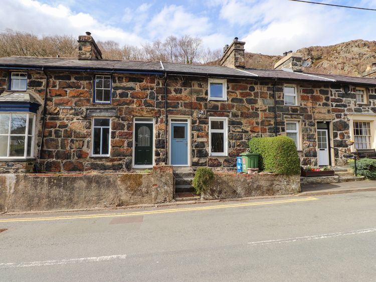
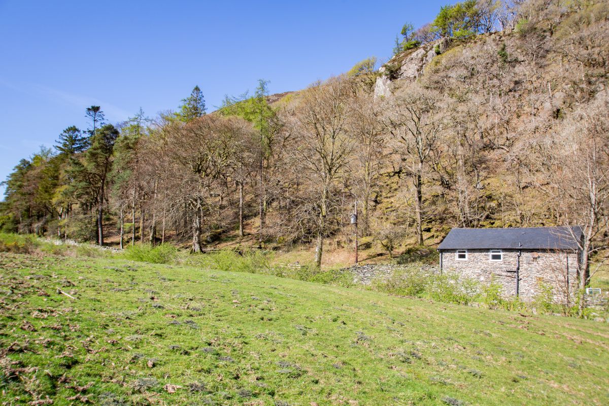
Nant Gwynant, near Beddgelert, North Wales
Moel Hebog Barn
Sleeps 6 · 3 beds
- Dogs
from £733 / week
Check dates for Moel Hebog Barn (opens the booking site in a new tab)Checked 5 Oct
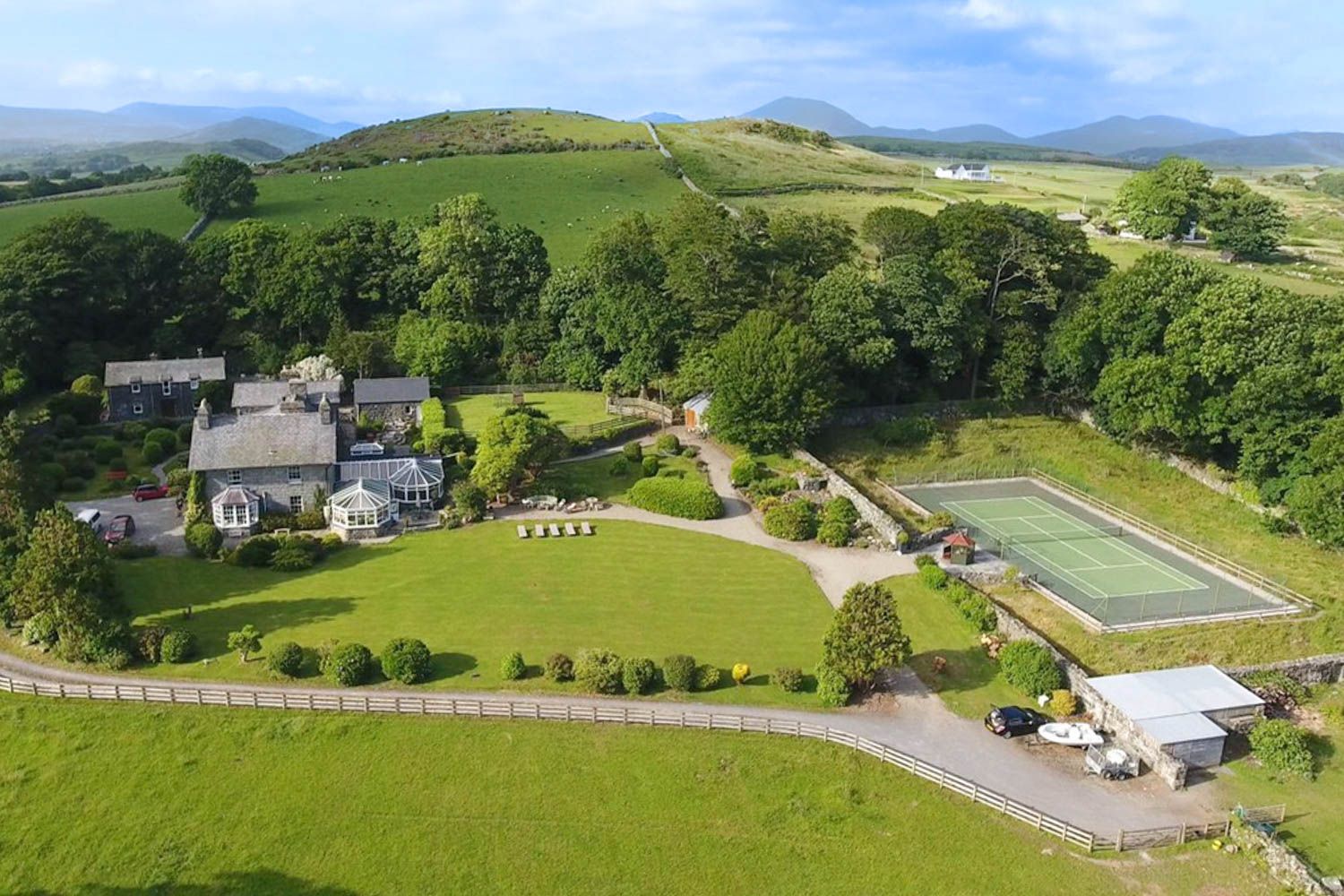
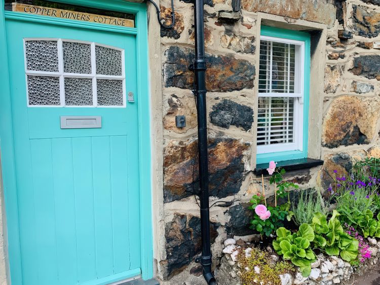
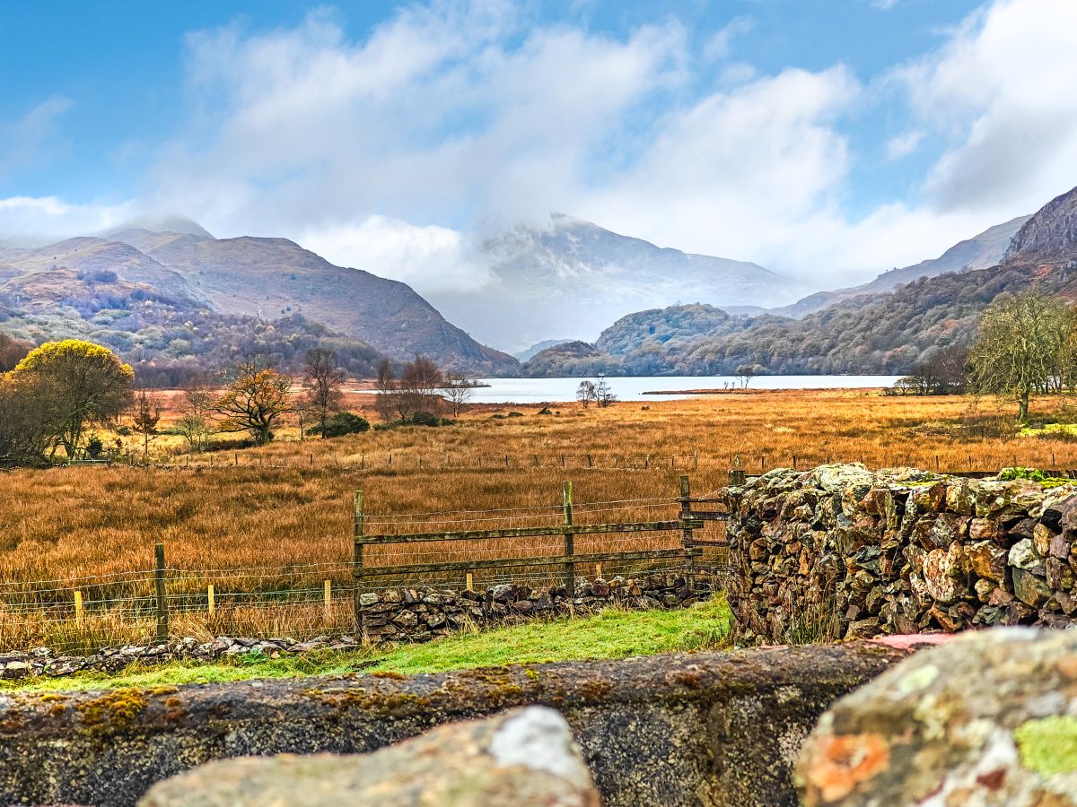
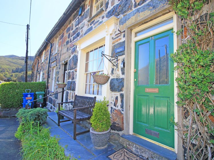

Cwmystradllyn, near Porthmadog, North Wales
Bryn Ystrad Llyn
Sleeps 8 · 4 beds
- Wood burner
- No dogs
from £763 / week
Check dates for Bryn Ystrad Llyn (opens the booking site in a new tab)Checked 5 Oct
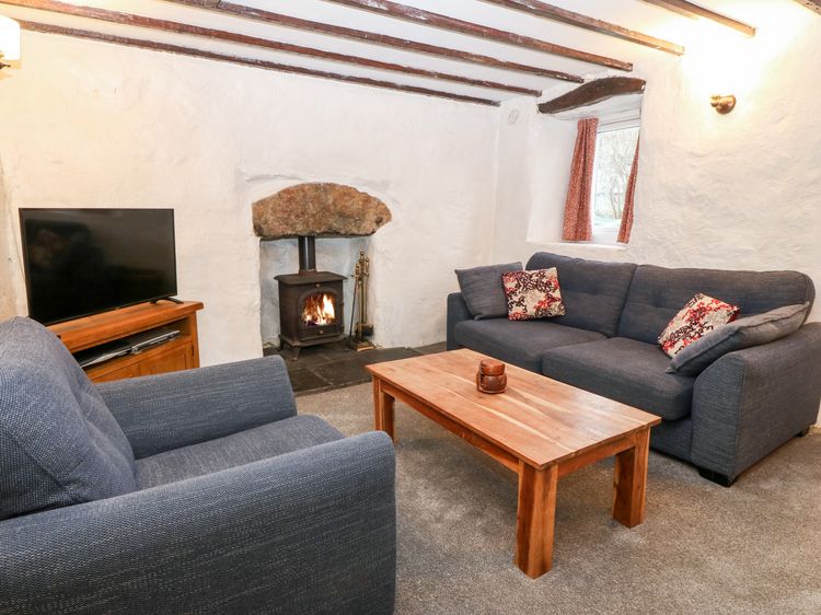
Distances, ascent and times here are planning figures taken from published sources, not a route description to navigate by. Take a map and check the forecast.