Tryfan by the North Ridge
Near Betws-y-Coed, Eryri
- Distance
- 5.7 km
- Ascent
- 576 m
- Time
- 3.5 hr
- Difficulty
- Severe
- Summit
- 918 m
- Parking
- Paid
Start: Gwern Gof Uchaf farm
Grid ref: SH 672604
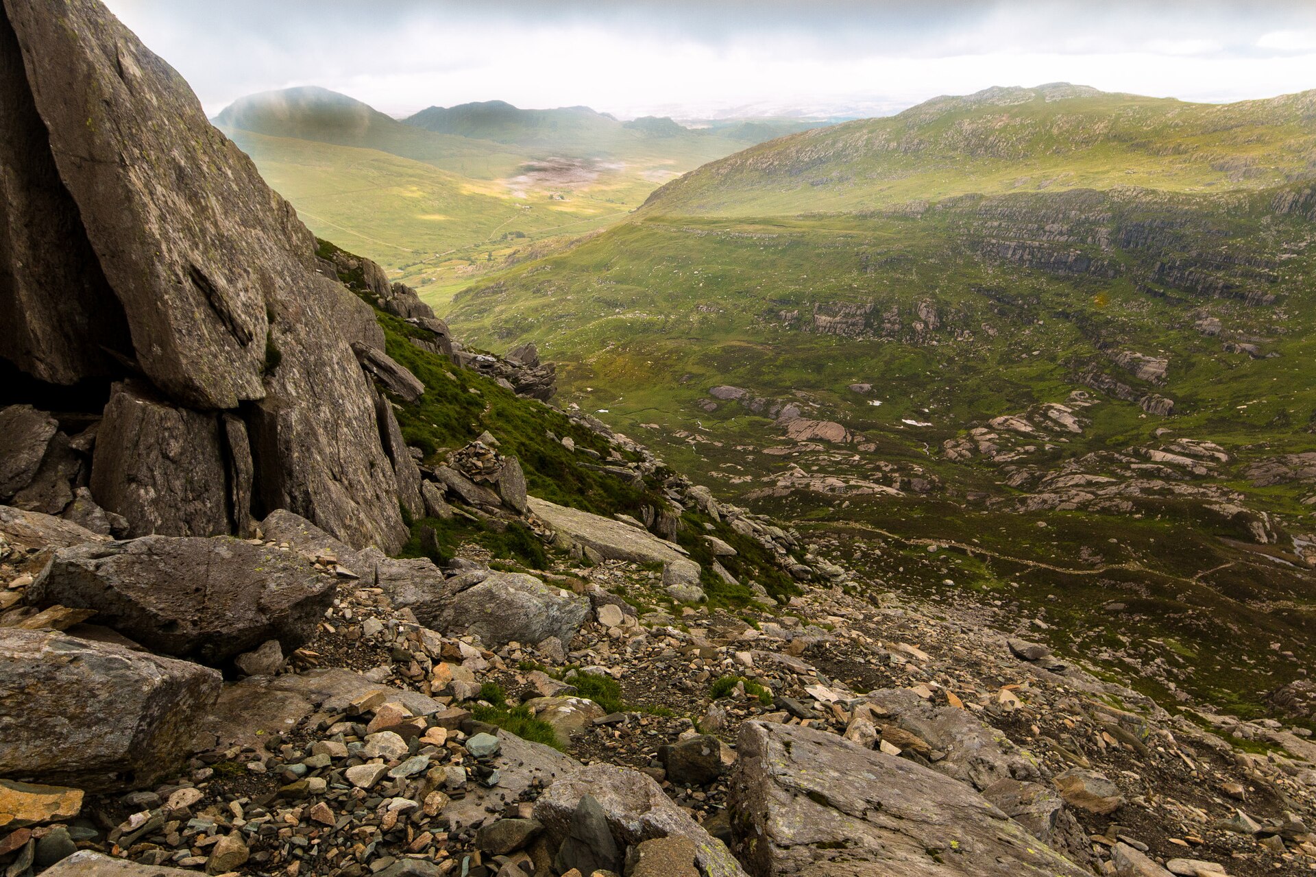
Tryfan rises to 917.5m above Llyn Ogwen, its jagged, twin-topped outline visible the length of the valley from the A5 through Capel Curig out of Betws-y-coed. The summit carries two upright stones, called Siôn a Siân in Welsh and Adam and Eve in English, standing around three metres high and 1.2 metres apart; the mountain writer Frank Showell Styles warned that stepping between them for the traditional “Freedom of Tryfan” is manageable in calm, dry weather but that “the penalties of failure are unpleasant in the extreme.”
Walking Britain gives the standard North Ridge round from Gwern Gof Uchaf, a farm on the A5 also used for routes onto the neighbouring Carnedd Llewelyn, as 5.7km and 576m of ascent, around three and a half hours. The ridge itself is graded a 1 scramble, its start marked by the Cannon Stone, a boulder propped at an angle above the boulder field; beyond it the ridge narrows and the scrambling gets more sustained past the North Tower, a pinnacle best taken directly rather than skirted, before easing onto the final stretch to the twin summit stones. Tryfan sits within the National Trust’s Carneddau and Glyderau estate, around 7,000 hectares taken on in 1951 in lieu of death duties on the Penrhyn Estate.
At 5.7km and 576m of ascent, this is a short day by distance, but nearly every metre above the Cannon Stone needs hands as well as feet, and the exposure near the North Tower is real enough that a fall would be serious. It suits a walker with some scrambling behind them who wants a short, intense day; it does not suit anyone unsteady on rock or new to using their hands. For height above the same valley without the scrambling, the standard line over Glyder Fach and Glyder Fawr crosses rockier but easier ground.
Underfoot
A grade 1 scramble on rock from the Cannon Stone, past the pinnacle of the North Tower, to the summit ridge. Hands are needed for most of the ascent and there is real exposure near the top.
Stay within reach of the start
Everything here is inside 14 km of Tryfan by the North Ridge.
Distances, ascent and times here are planning figures taken from published sources, not a route description to navigate by. Take a map and check the forecast. We do not publish conditions, because nothing on this page is updated often enough for you to trust it on the day.