The Monsal Trail from Bakewell
Near Bakewell, Peak District
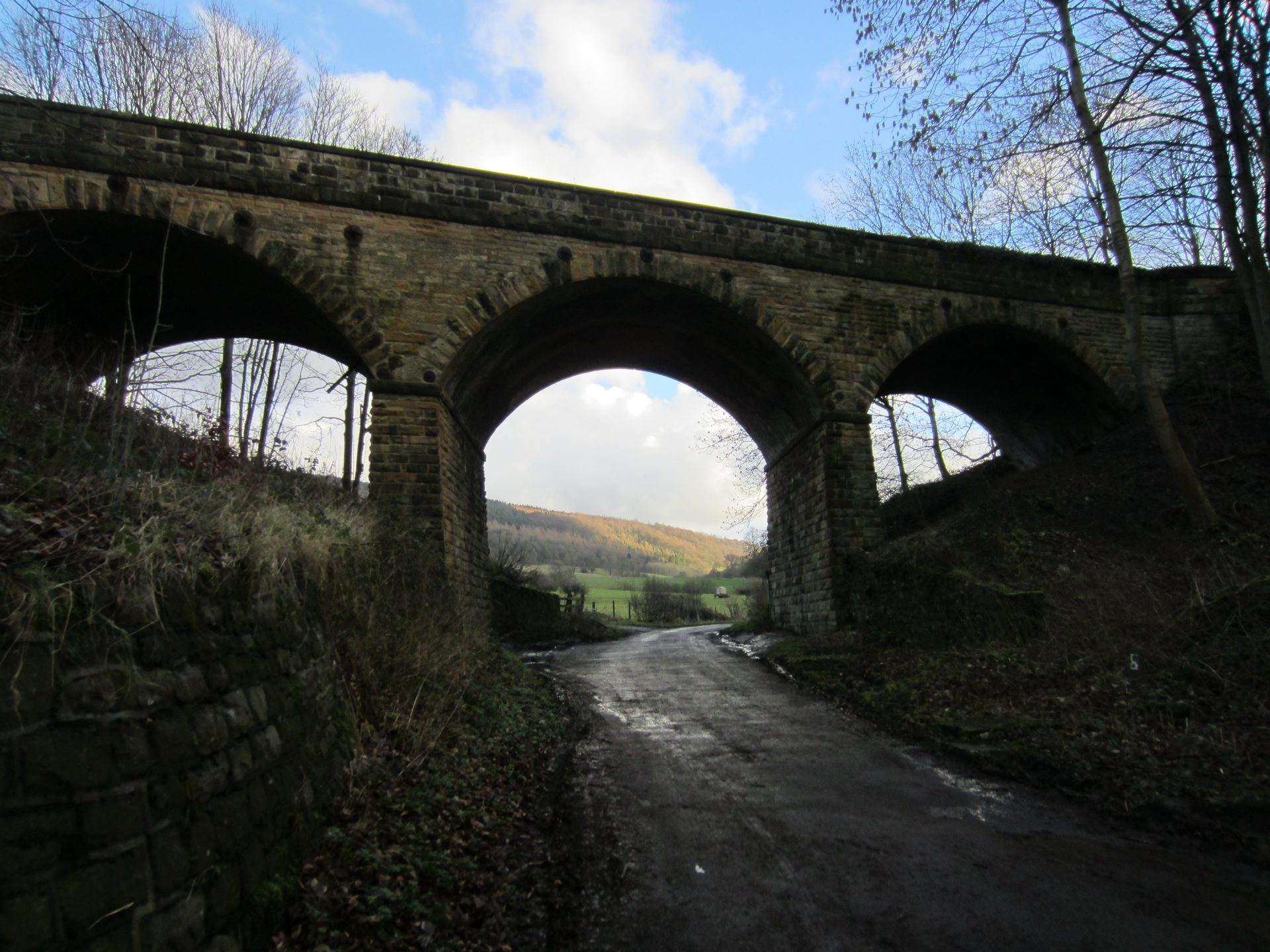
- Distance
- 3.4 km
- Difficulty
- Easy
- Shape
- There and back
- Parking
- Paid
- Dogs
- Yes: on a lead, the Park Authority asks
Start: Bakewell old station, Coombs Road
Grid ref: SK 2224 6898
Bakewell’s former railway station, closed to passengers in 1967 and to the line entirely the following year, now marks the southern end of the Monsal Trail, the Midland Railway route the Peak District National Park Authority opened as a shared path for walkers, cyclists and horse riders in 1981. The old platform and station building survive, with level access onto the trail and a car park where the sidings used to be.
The trail runs northwest along the old trackbed, flat enough that its steepest sections are quoted in railway terms, a gradient of 1 in 100. The walking is easy in every sense: a firm surface, no stiles, no navigation required beyond staying on the path. Hassop, the next former station along the line, is a well-used turning point, a round trip of 3.4km from Bakewell station according to Peak District Kids, though there is no obligation to go even that far. The trail continues well beyond Hassop toward Monsal Head and, at its far end, Blackwell Mill near Buxton for those who want to keep going.
This is the walk to choose over the Peak District’s harder routes on a day with young children, tired legs or a pushchair to manage: level, sociable, and rarely quiet on a fine weekend. Its one drawback is exactly that popularity. Expect cyclists, families and dog walkers sharing a fairly narrow path. Walkers wanting solitude on a fine weekend, or height and a view earned, are better suited to a different route. For the same limestone off the shared trail, Lathkill Dale, a dale walk on footpaths, starts about 2.5km south-west of the town.
Underfoot
A firm, level, surfaced trail along the old railway trackbed, with wheelchair and pushchair access at this end of the route.
Stay within reach of the start
Booking through these links earns a commission. The price is the same.
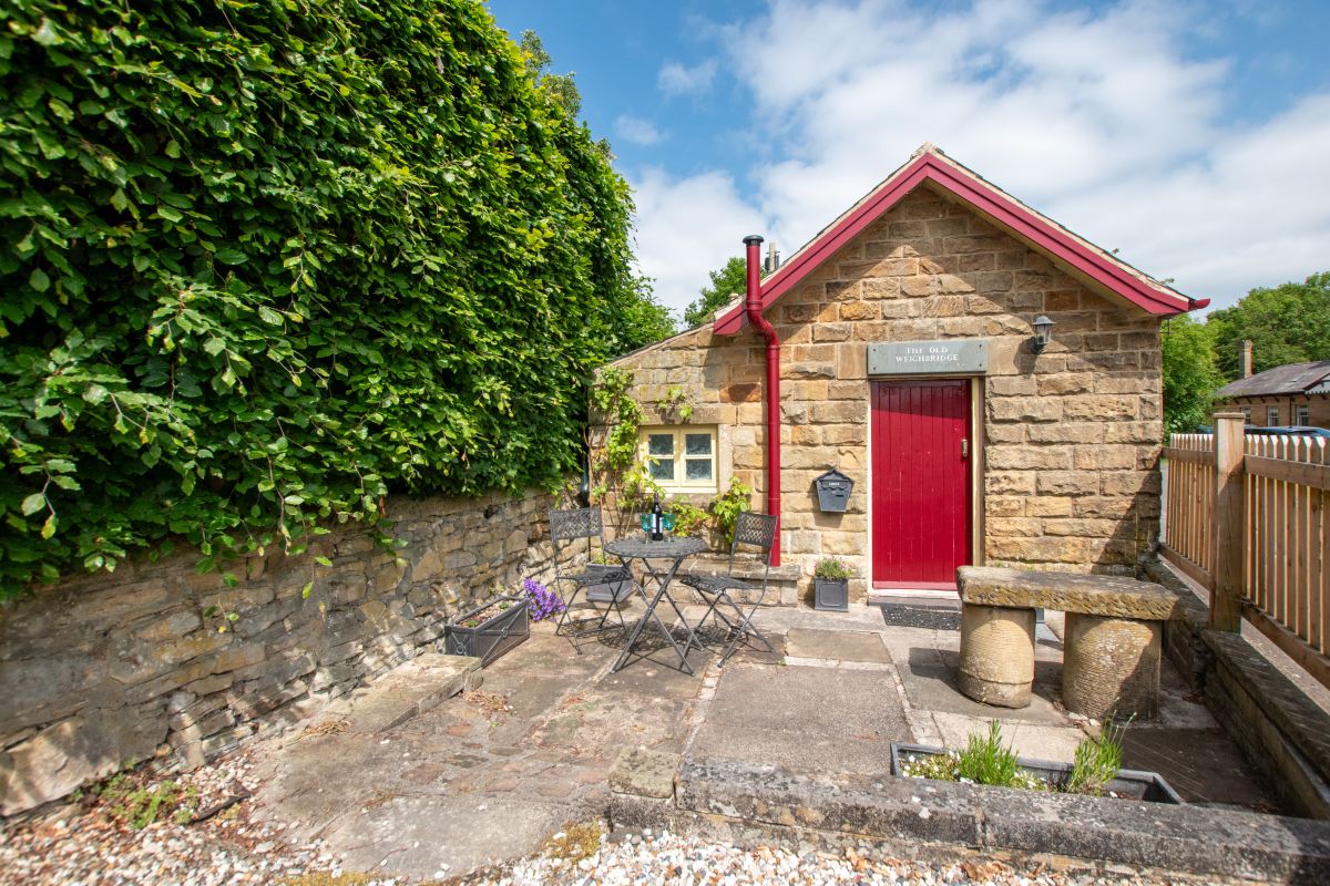
Bakewell, Derbyshire
The Old Weighbridge
Sleeps 2 · 1 bed
- No dogs
from £345 / week
Check dates for The Old Weighbridge (opens the booking site in a new tab)Checked 5 Oct
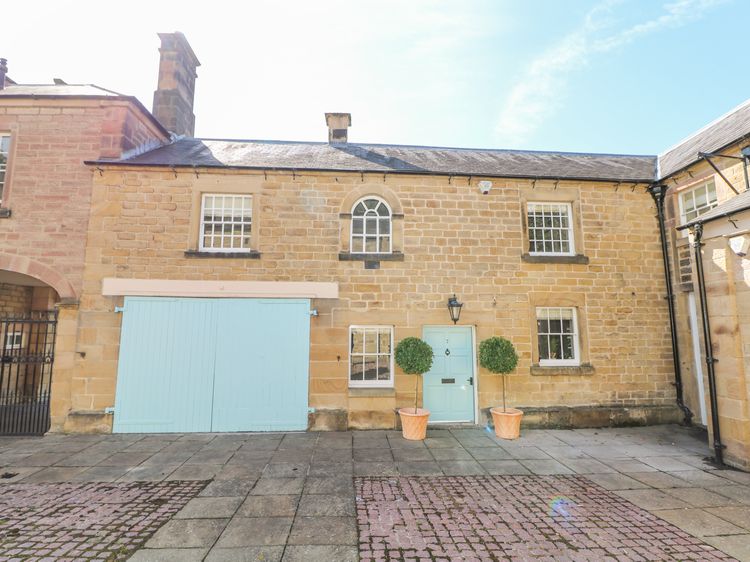
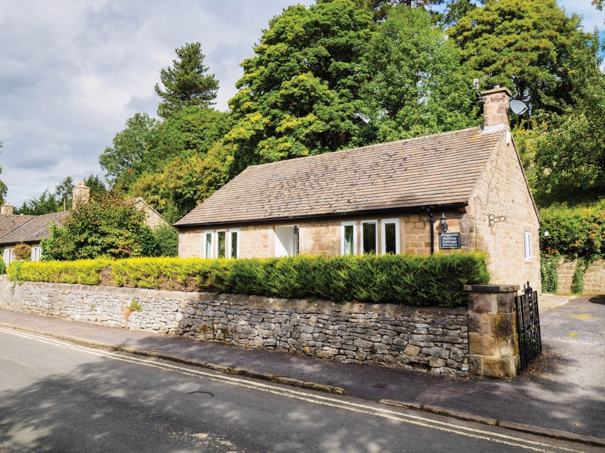
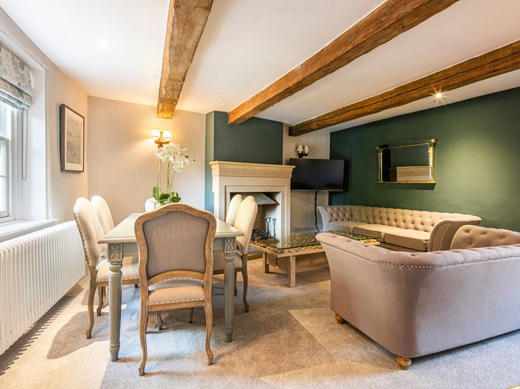
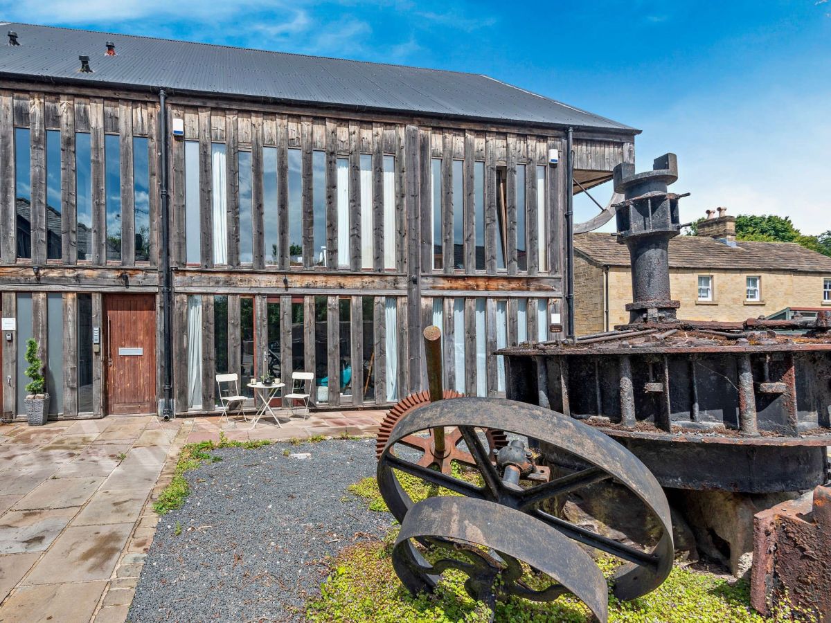
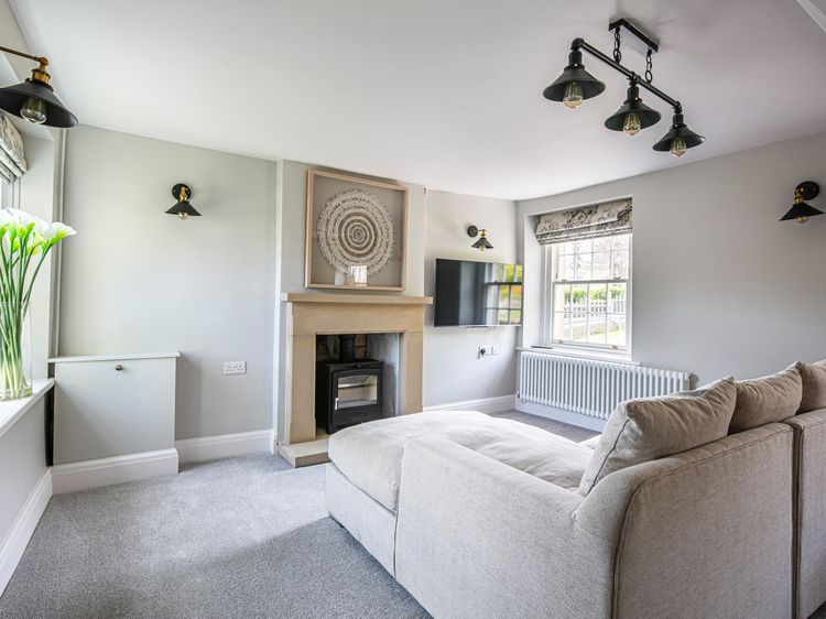
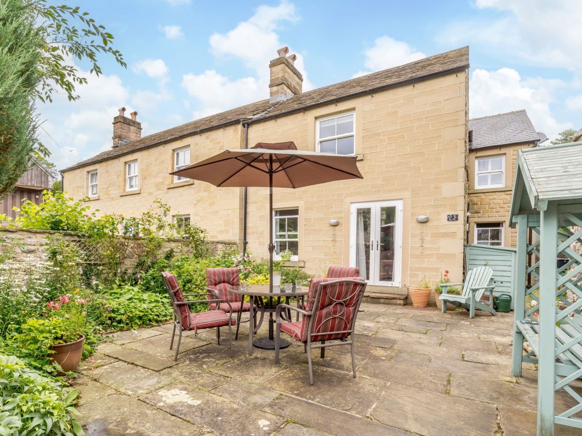
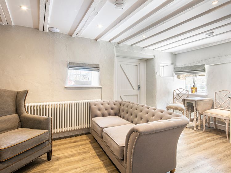
Bakewell
The Artists Loft
Sleeps 2 · 1 bed
- Dogs
from £459 / week
Check dates for The Artists Loft (opens the booking site in a new tab)Checked 9 Oct
Distances, ascent and times here are planning figures taken from published sources, not a route description to navigate by. Take a map and check the forecast.