Lathkill Dale from Over Haddon
Near Bakewell, Peak District
- Distance
- 5 km
- Ascent
- 130 m
- Time
- 2 hr
- Difficulty
- Easy
- Shape
- Circular
- Parking
- Paid
- Dogs
- Yes: welcome, restricted at lambing and nesting, Natural England says
Start: Over Haddon car park
Grid ref: SK 20346646
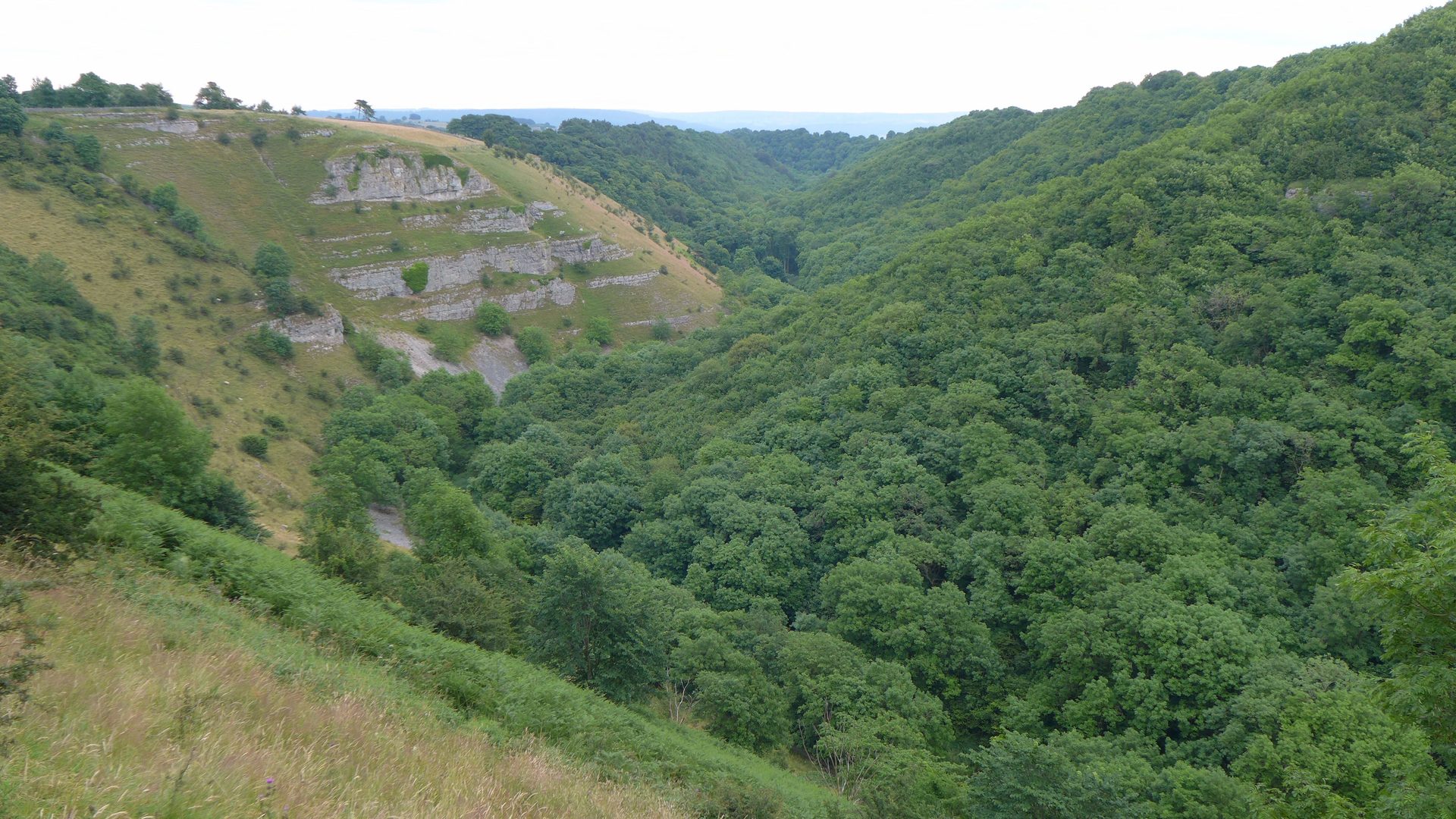
The walk drops from Over Haddon, about 2.5km south-west of Bakewell, down into Lathkill Dale, a National Nature Reserve where the River Lathkill runs clear over limestone through a valley that was worked for lead for centuries, the ruins of its engine houses a Scheduled Monument. The route follows the river through open meadows and past two historic crossings, Coalpit Bridge and Conksbury Bridge, with a Victorian weir along the way.
Wildlife is the dale’s other draw. Dippers work the river, Wikipedia records, and orchids are among the dale’s wildflowers; Natural England signs along the river ask visitors not to go in for a paddle. Woodland sections can turn muddy after rain, and a couple of short stretches are steeper than the walk’s overall easy character suggests, but nothing here needs more than ordinary fitness and reasonable footwear.
Peak District Kids gives the loop as 5km with 130m of ascent, a two-hour walk without children, which makes it an introduction to White Peak dale walking: short enough for a morning and varied enough to hold interest. It suits families, first-time visitors to the area, and anyone who wants a limestone dale without committing to a full day’s walking. The drop into the dale and the climb back out are the only sustained gradient on the route, so anyone after a summit should look to Chrome Hill in the upper Dove.
Underfoot
Meadow and riverside paths past two historic bridges and a Victorian weir, with some muddy woodland sections and a few short, steep stretches.
Stay within reach of the start
Booking through these links earns a commission. The price is the same.
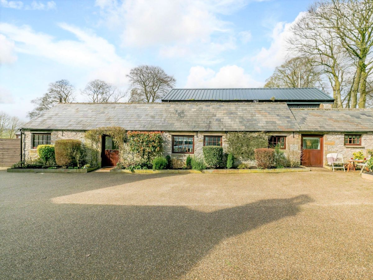
Over Haddon, near Bakewell, Derbyshire
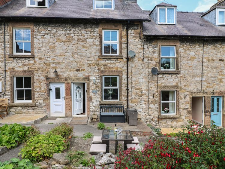
Barn Cottage - Lathkil Dale
Sleeps 4 · 2 beds
- Wood burner
- Dogs
from £610 / week
Check dates for Barn Cottage - Lathkil Dale (opens the booking site in a new tab)Checked 5 Oct
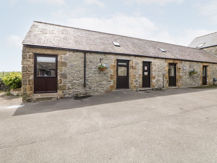
Bakewell
Ashford Cottage
Sleeps 2 · 1 bed
- Dogs
from £839 / week
Check dates for Ashford Cottage (opens the booking site in a new tab)Checked 9 Oct
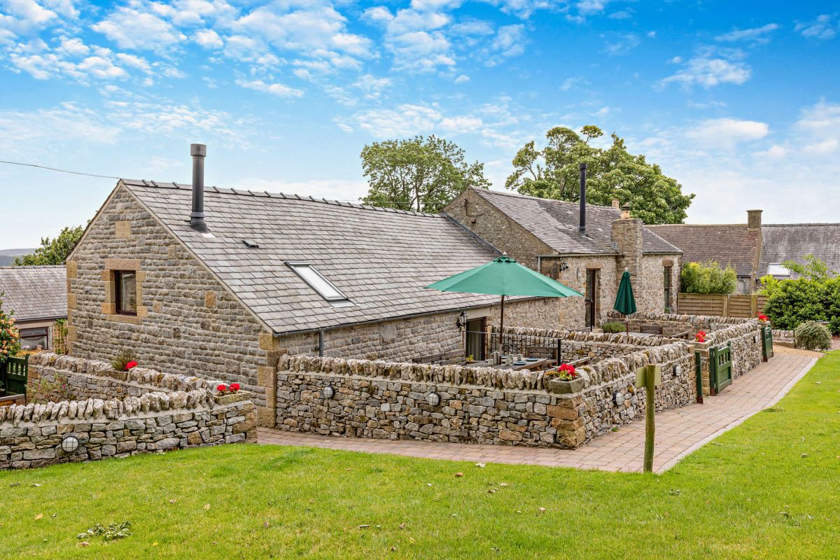
Bakewell, Derbyshire
Valley Cottage
Sleeps 6 · 3 beds
- Wood burner
- Dogs
from £1,420 / week
Check dates for Valley Cottage (opens the booking site in a new tab)Checked 5 Oct
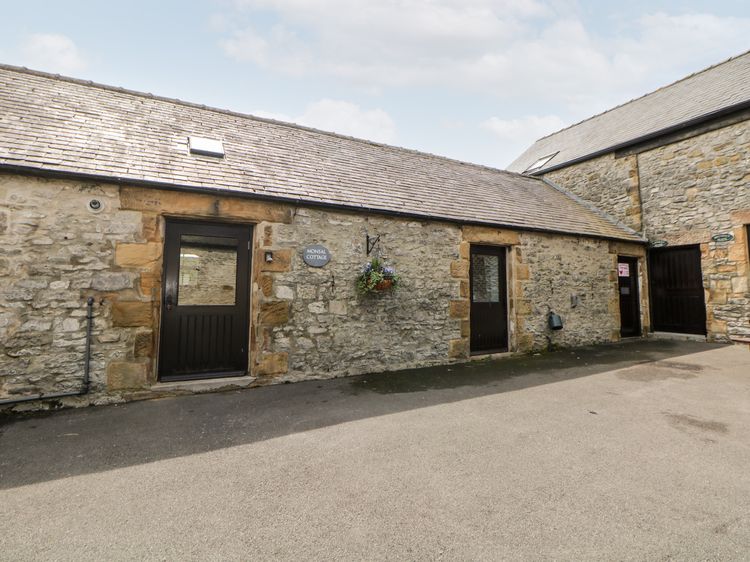
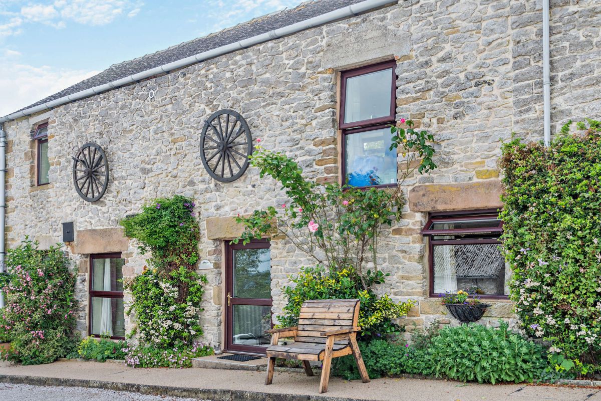
Bakewell, Derbyshire
Cow Shed Cottage
Sleeps 2 · 1 bed
- Wood burner
- Dogs
from £780 / week
Check dates for Cow Shed Cottage (opens the booking site in a new tab)Checked 5 Oct
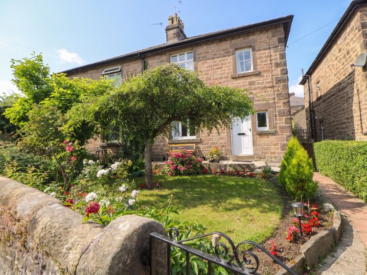
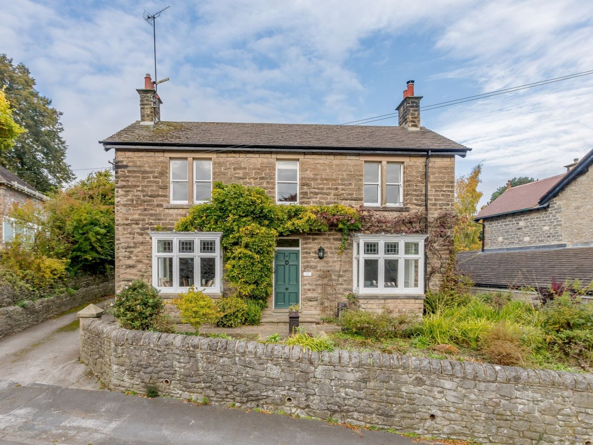
Distances, ascent and times here are planning figures taken from published sources, not a route description to navigate by. Take a map and check the forecast.