Chrome Hill and Parkhouse Hill
Near Hartington, Peak District
- Distance
- 7.2 km
- Ascent
- 389 m
- Time
- 2 hr 30 min
- Difficulty
- Hard
- Summit
- 439 m
- Shape
- Circular
- Parking
- Roadside only
- Dogs
- Yes: on a lead near livestock; Parkhouse scramble tricky, Wandering Wildflower says
Start: Hollinsclough village
Grid ref: SK 065665
Who this suits, and who it does not
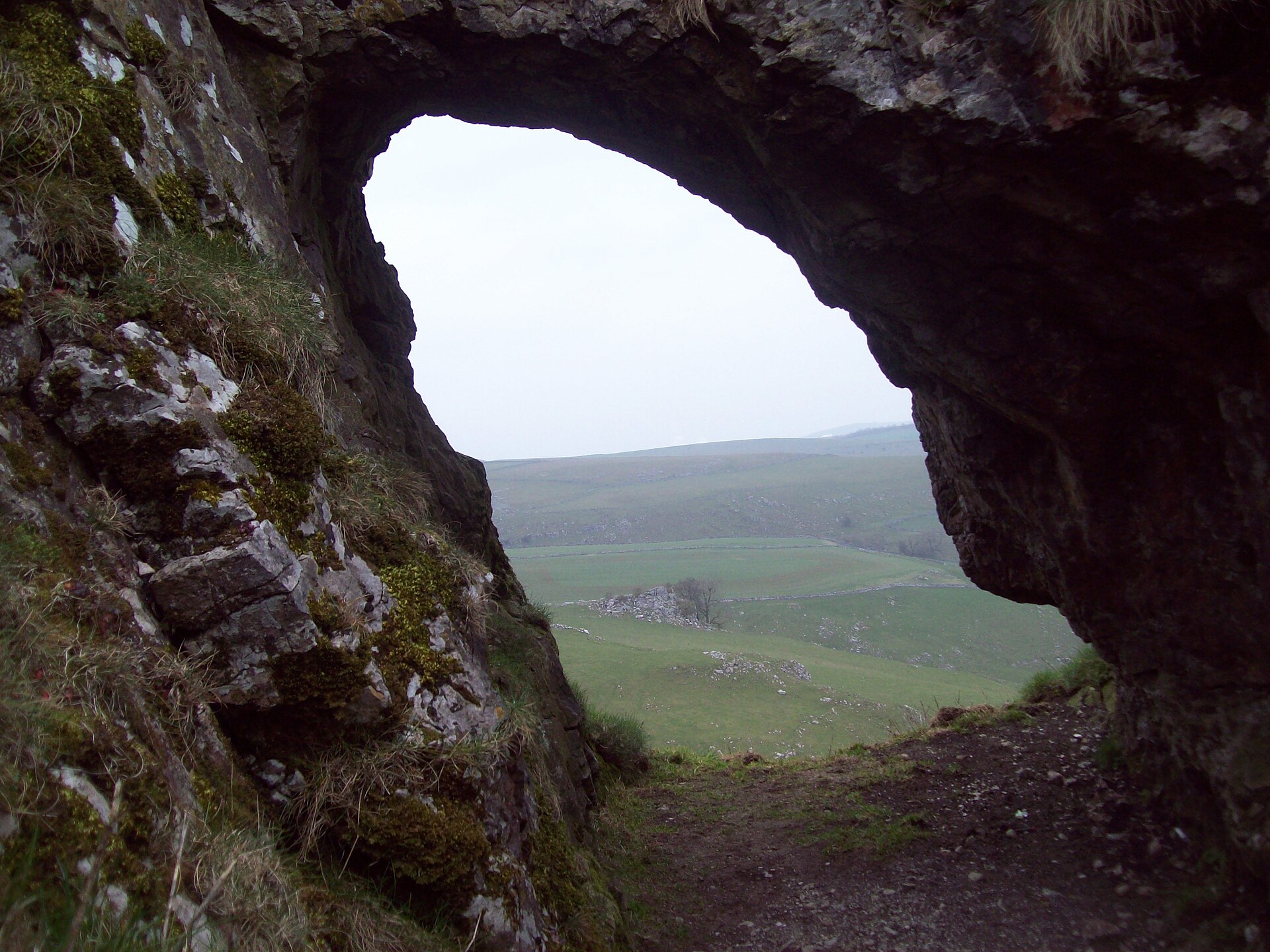
200 places to stay within 12 km, from £294 a week See themChrome Hill and Parkhouse Hill stand together above the upper Dove valley near the Staffordshire border, inside the Peak District National Park, their narrow, serrated profiles earning the pair the local name the Dragon’s Back. Chrome Hill is the higher of the two, 439m against Parkhouse Hill’s 375m on the Database of British and Irish Hills, and Wikipedia describes both as limestone reef knolls, the fossilised remains of atolls that grew on a tropical sea floor during the Carboniferous period; the ground carries exposures of Gigantoproductus fossils and both hills sit inside the Chrome and Parkhouse Hills Site of Special Scientific Interest, where removing rock samples is an offence. Wikipedia adds that the final episode of Peaky Blinders, broadcast in 2022, was filmed overlooking Chrome Hill, and that a double sunset can sometimes be seen against it around the summer solstice.
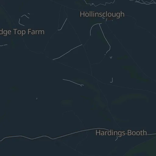
Hollinsclough, a drive from Hartington, is the usual start; PeakDistrict.org says there are no official car parks and the lanes are very narrow, with a few spaces by the Methodist church and a lay-by further on. Both hills carry scrambling: Walking Britain warns that the direct line up Parkhouse Hill’s ridge is slippery and fairly exposed, and PeakDistrict.org that the section off Chrome Hill may need hands. A field path and footbridge over the River Dove link the return to the village. PeakDistrict.org, which names the route the Dragon’s Back walk, gives the alternative start as Earl Sterndale, a village on the opposite side of the hill reachable by High Peak’s 442 bus from Buxton.
The full horseshoe over both hills is 7.2km with 389m of ascent in about two and a half hours, according to PeakDistrict.org, which rates it hard and measures Chrome Hill on its own at 6.2km with 283m. It suits a confident walker who wants exposed ridge walking without a full mountain day. Two narrow crests will unsettle anyone uneasy on one, and a family wanting a straightforward outing from the same hub should take the flat, traffic-free Tissington Trail, which starts at Hartington’s old station yard.
Underfoot
Steep grass and rock climbs onto two narrow limestone ridges, with scrambling on Parkhouse Hill's ridge and on the way off Chrome Hill, and field paths and a footbridge over the River Dove between the two hills.
Stay within reach of the start
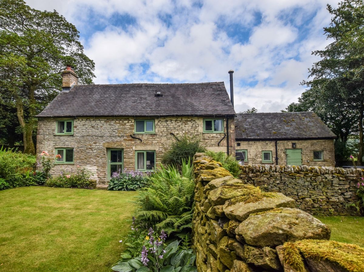
Longnor, near Buxton, Staffordshire
The Cottage
Sleeps 6 · 3 beds
1.9km from the start of this walk
- Hot tub
- Wood burner
- Dogs
from £1,058 / week
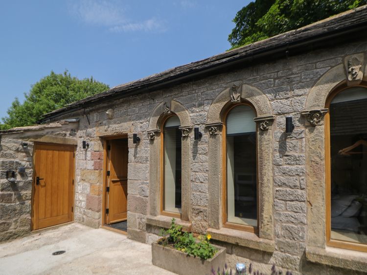
Earl Sterndale near Buxton
Woodbine Retreat
Sleeps 2 · 1 bed
2.6km from the start of this walk
- No dogs
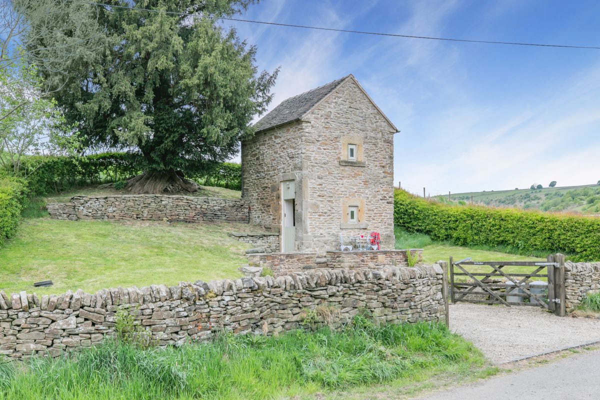
Longnor, near Buxton, Staffordshire
Yew Tree Barn
Sleeps 2 · 1 bed
2.2km from the start of this walk
- Dogs
from £455 / week
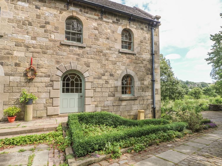
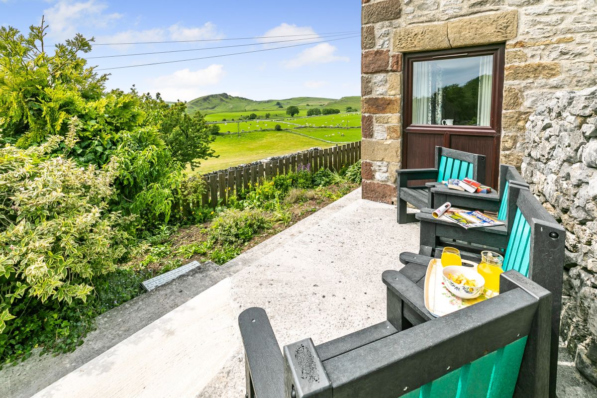
Earl Sterndale, near Buxton, Derbyshire
Jerusalem Cottage
Sleeps 4 · 2 beds
2.5km from the start of this walk
- No dogs
from £480 / week
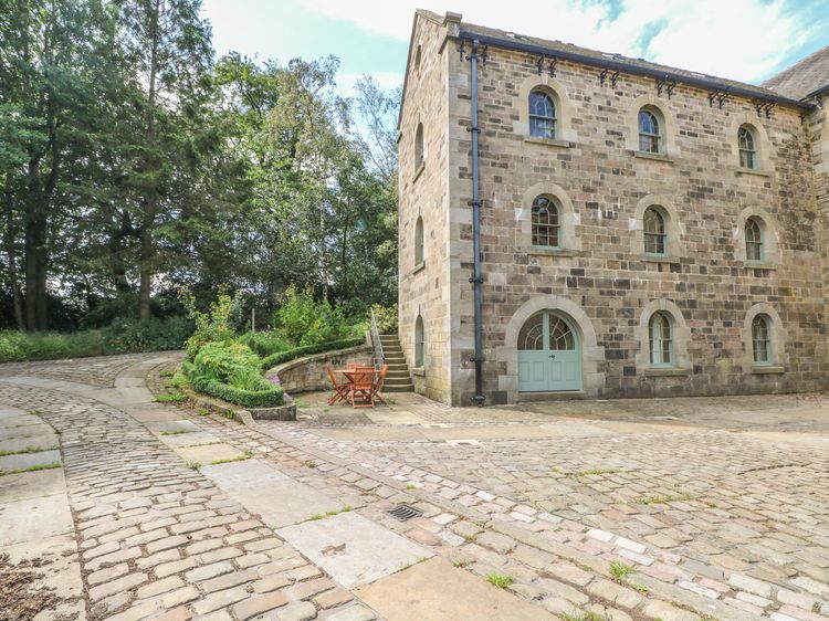
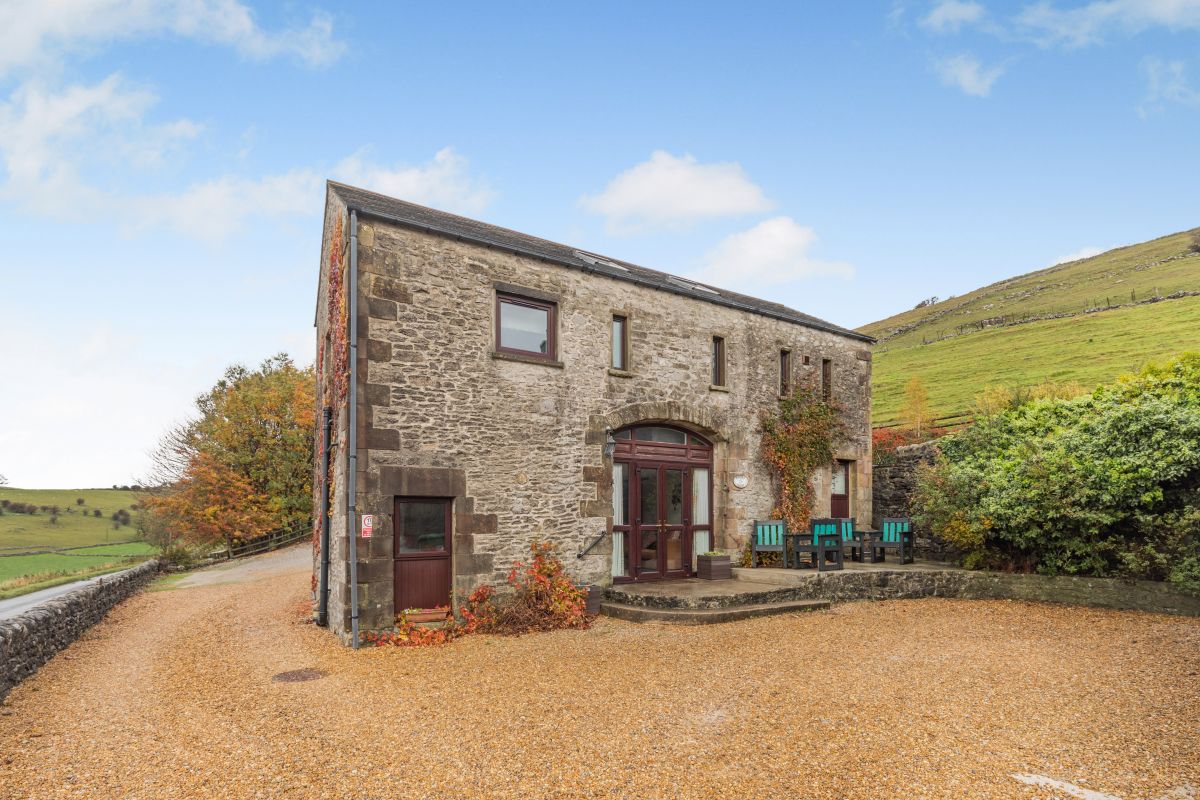
Earl Sterndale, near Buxton, Derbyshire
Poppies Court
Sleeps 4 · 2 beds
2.6km from the start of this walk
- No dogs
from £459 / week
Distances, ascent and times here are planning figures taken from published sources, not a route description to navigate by. Take a map and check the forecast.