The Tissington Trail from Hartington
Near Hartington, Peak District
- Difficulty
- Easy
- Shape
- There and back
- Parking
- Paid
- Dogs
- Yes: under close control, the Park Authority asks
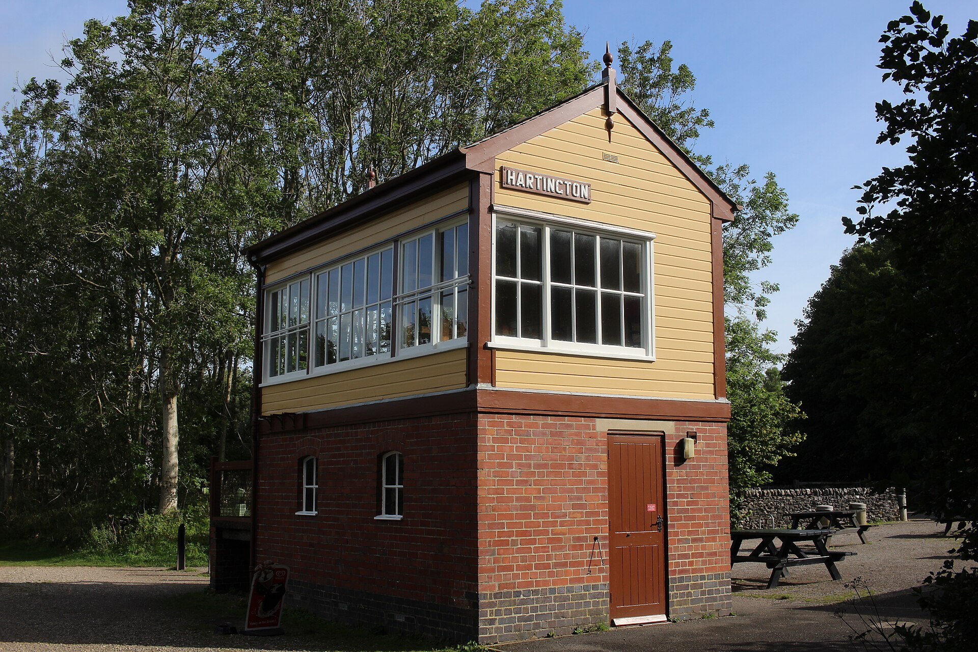
Start: Hartington old station (the signal box visitor centre)
Grid ref: SK 149610
This walk starts at the old railway station that served Hartington, about 1.5 miles east of the village, on the trackbed of the line that ran from Ashbourne to Buxton. The station closed to regular passengers in 1954 and for good in 1963; the platforms are gone, but the LNWR signal box survives, restored as a visitor centre. Derbyshire County Council acquired the trackbed in 1968, Wikipedia records, and the Peak District National Park Authority says the national park bought the route in 1971, the year it opened as the Tissington Trail; the trail runs 13 miles between Ashbourne in the south and Parsley Hay in the north, where it joins the High Peak Trail, but there is no need to commit to anything like the whole distance to enjoy it.
Crushed limestone forms the surface, firm and level in the way only a former railway can be, with none of the stiles, mud or navigation that complicate most Peak District walking. It suits wheelchair users, mobility scooters and pushchairs as well as walkers and cyclists.
Wikipedia records that the trail runs gently downhill from Parsley Hay southwards, so the walk north from Hartington station climbs gradually, and the walk south toward Tissington and Ashbourne descends. Neither direction offers the drama of the White Peak’s limestone dales lower down, since the old railway was built along the high ground rather than through it, but that is exactly why it is so easy: no dale means no descent and no climb back out.
This suits anyone who wants distance and fresh air without effort, or who is touring the dales with someone who cannot manage stiles and steep paths. Anyone who came for the limestone dales is better suited to Wolfscote Dale, a few minutes away by car, because this high-ground line misses them.
Underfoot
A firm, crushed-limestone former railway trackbed, flat and suitable for wheelchairs, mobility scooters and bikes as well as walkers.
Stay within reach of the start
Booking through these links earns a commission. The price is the same.
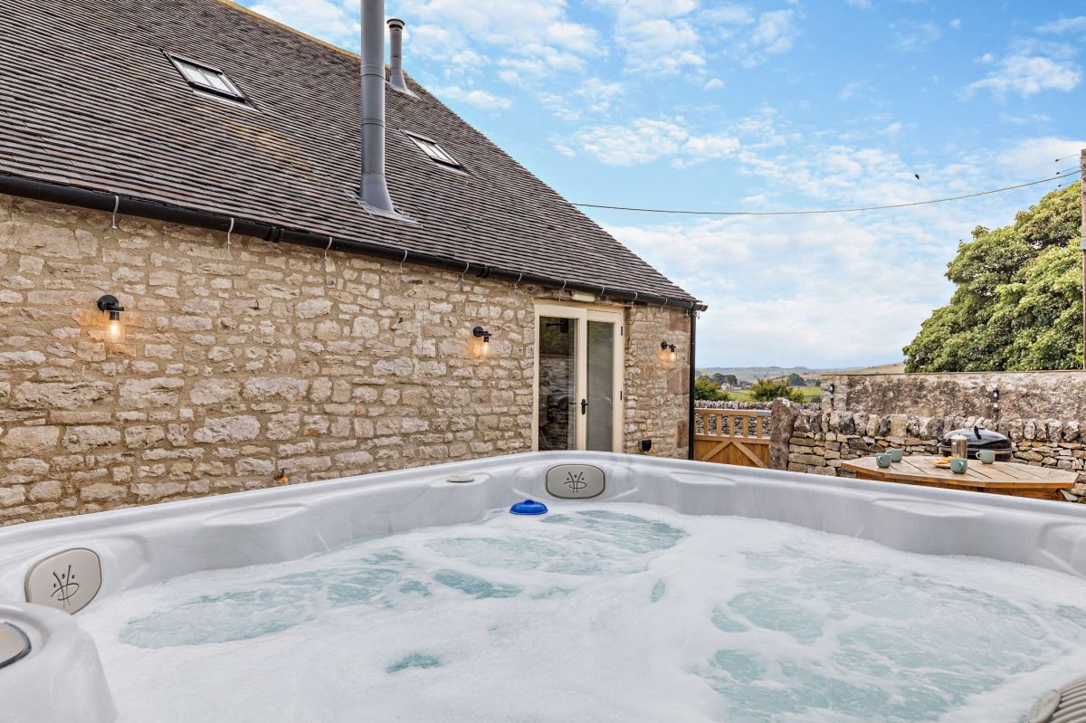
Hartington, near Buxton, Derbyshire
Hideaway at Heathcote
Sleeps 6 · 3 beds
- Hot tub
- Wood burner
- Dogs
from £1,073 / week
Check dates for Hideaway at Heathcote (opens the booking site in a new tab)Checked 5 Oct
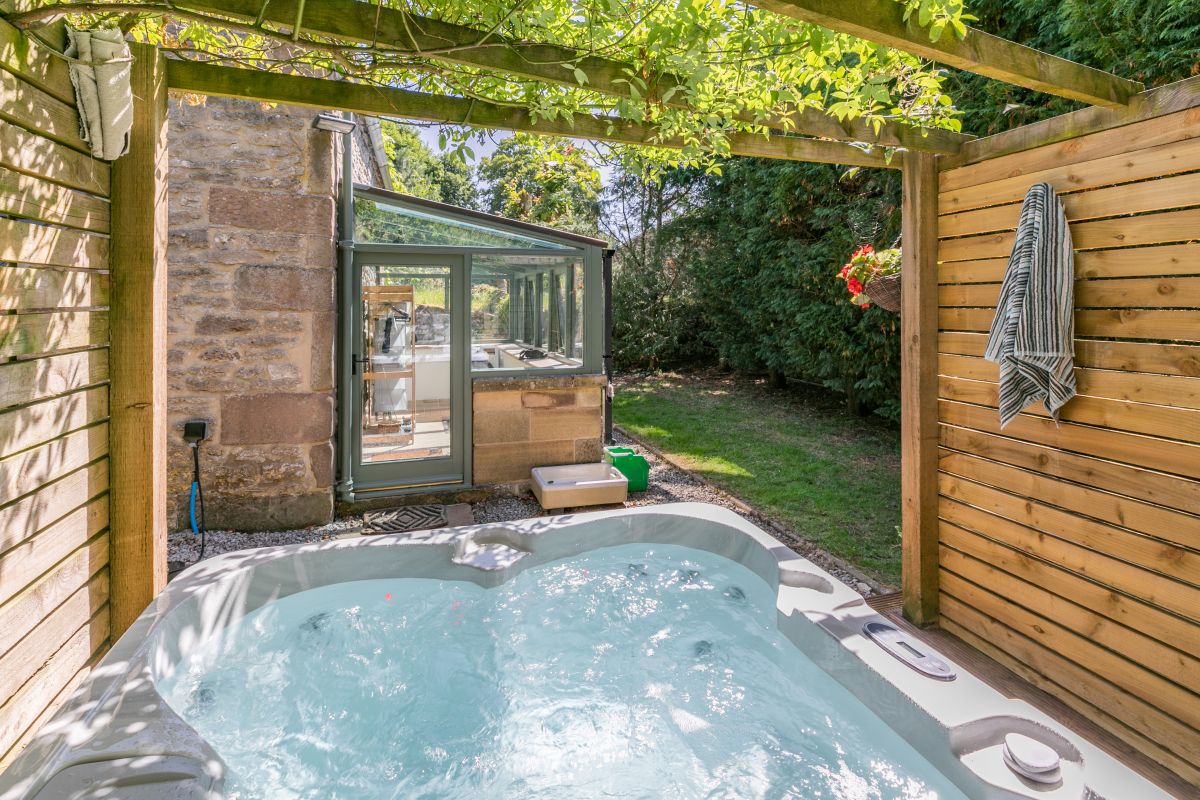
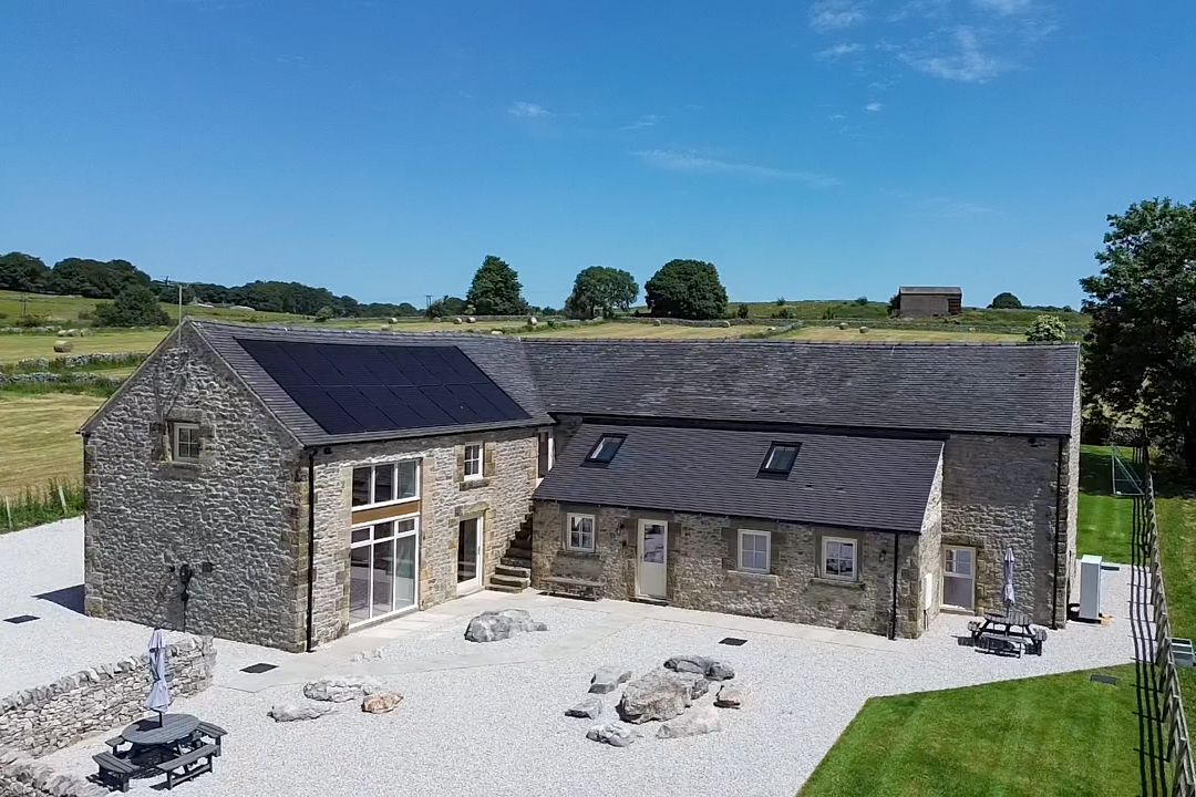
Biggin-by-Hartington, near Buxton, Derbyshire
Homestead Barn
Sleeps 19 · 8 beds
- Dogs
from £5,264 / week
Check dates for Homestead Barn (opens the booking site in a new tab)Checked 5 Oct
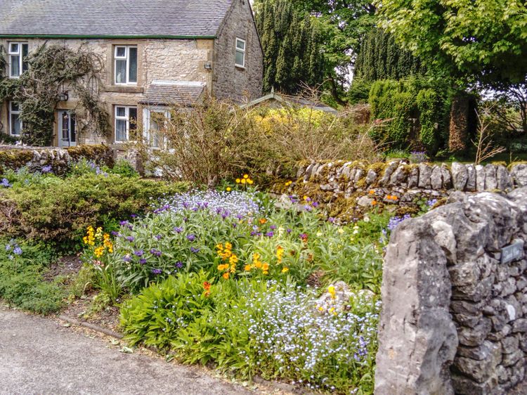
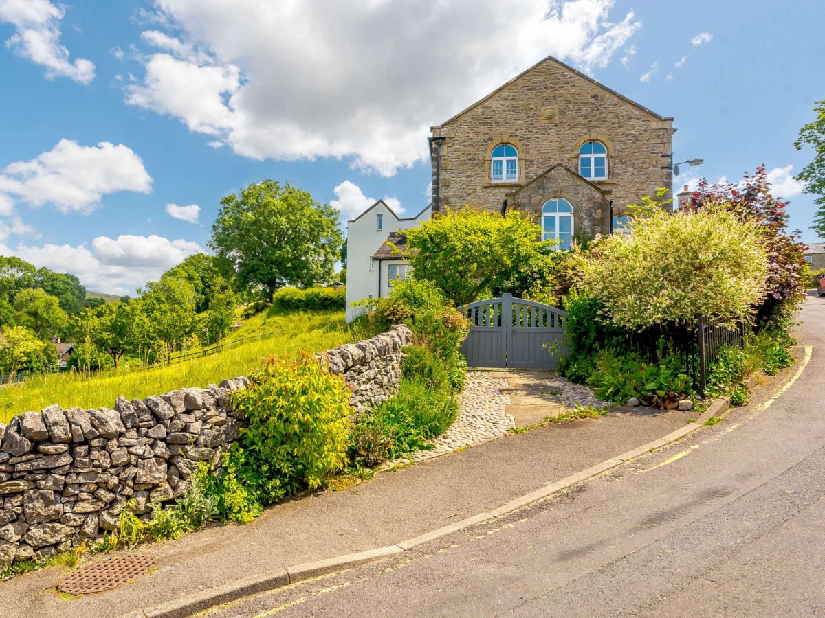
Hartington, near Buxton, Derbyshire
The Old Chapel In Hartington
Sleeps 8 · 4 beds
- Wood burner
- Dogs
from £1,179 / week
Check dates for The Old Chapel In Hartington (opens the booking site in a new tab)Checked 5 Oct
Distances, ascent and times here are planning figures taken from published sources, not a route description to navigate by. Take a map and check the forecast.