Scafell Pike from Wasdale
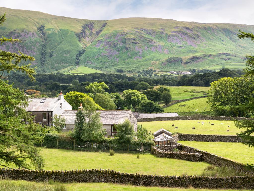
Near Wasdale, Lake District
- Distance
- 9 km
- Ascent
- 900 m
- Time
- 5.5 hr
- Difficulty
- Hard
- Summit
- 978 m
- Shape
- There and back
- Parking
- Paid
- Dogs
- Yes
Start: National Trust Lakehead car park, Wasdale
Grid ref: NY 182075
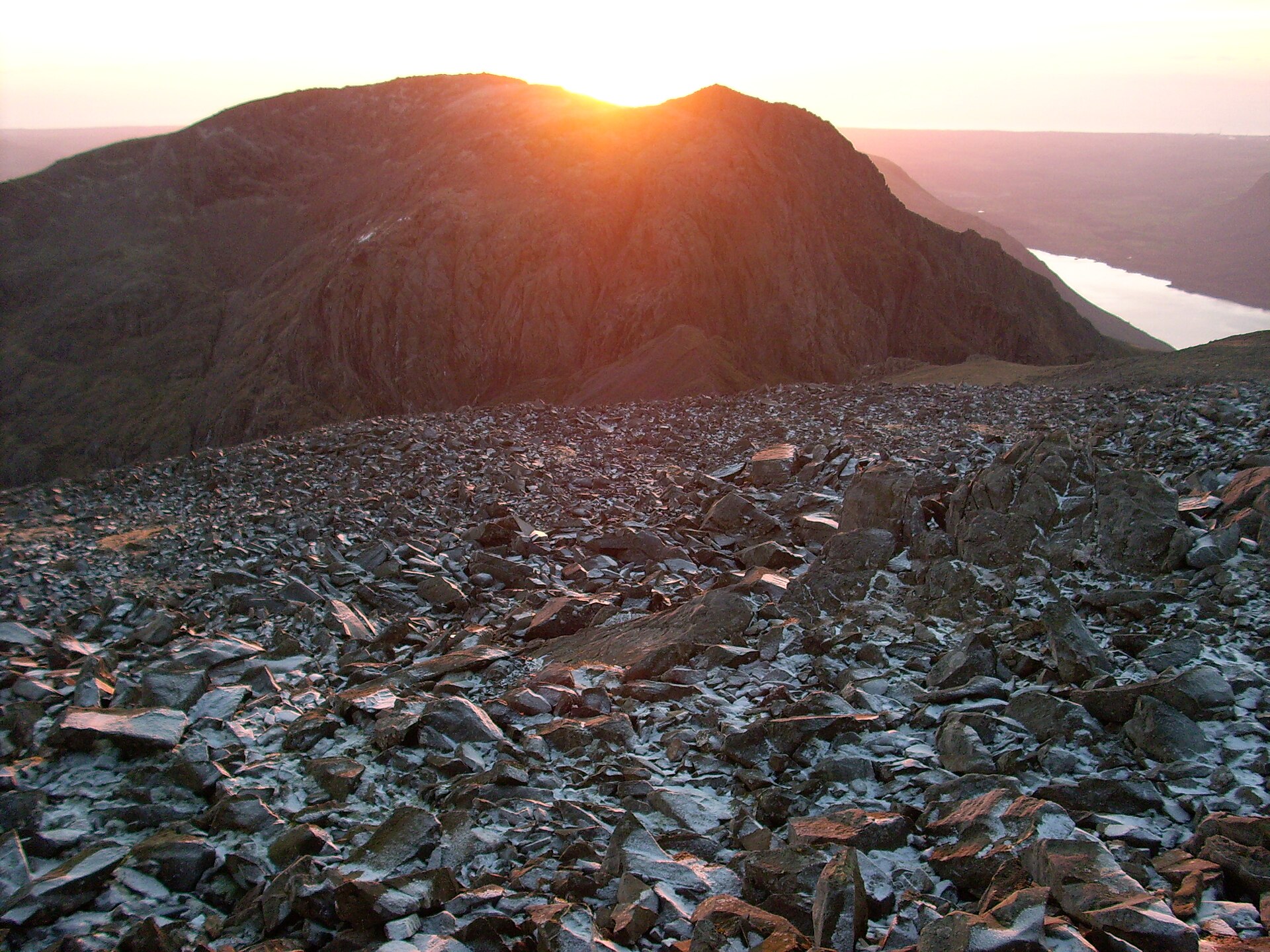
Scafell Pike is England’s highest mountain at 978m on the Ordnance Survey, the high point of the Scafell massif in the Southern Fells. In 1919 Charles Henry Wyndham, 3rd Baron Leconfield, gave the summit to the National Trust in perpetual memory of the men of the Lake District who died in the First World War; the raised stone platform and memorial plaque on the cairn record that gift, and the Trust still holds the ground. The shortest public route starts at the National Trust Lakehead car park in Wasdale (OS NY 182075), climbs Brown Tongue beside Lingmell Gill to Hollow Stones, then continues to Lingmell Col and a cairned pull over broken rock to the summit.
The Trust’s own Scafell route card treats the day as an unsignposted mountain climb on hard terrain, not a waymarked country path. Above Hollow Stones the line is easy to lose in mist; on the summit plateau the same problem returns, and parties that leave on the wrong bearing have walked down into Eskdale. Most walkers return the way they came. The Corridor Route toward Sty Head is a longer line for walkers already sure on this ground, not a first-visit shortcut.
At about 9km return and roughly 900m of ascent, with five to six hours typical, this is a full mountain day for fit walkers, not a warm-up before another summit. It does not suit anyone unsteady on steep rock or hoping for signposts. For a named high summit with a clearer path and less plateau navigation, the Old Man of Coniston from the village, or Helvellyn from Glenridding by the non-ridge paths, are the nearer serious days that still finish on a mapped top.
Underfoot
Steep stone-pitched and rocky path up Brown Tongue beside Lingmell Gill, then boulder-strewn ground through Hollow Stones to Lingmell Col and a cairned climb across shattered rock to the summit platform. Navigation on the summit plateau is difficult in cloud.
Stay within reach of the start
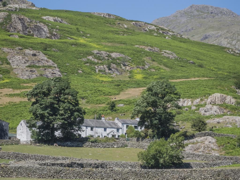
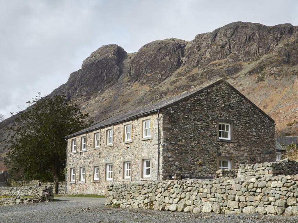
Everything here is inside 12 km of Scafell Pike from Wasdale.



Distances, ascent and times here are planning figures taken from published sources, not a route description to navigate by. Take a map and check the forecast. We do not publish conditions, because nothing on this page is updated often enough for you to trust it on the day.