Scafell Pike from Wasdale
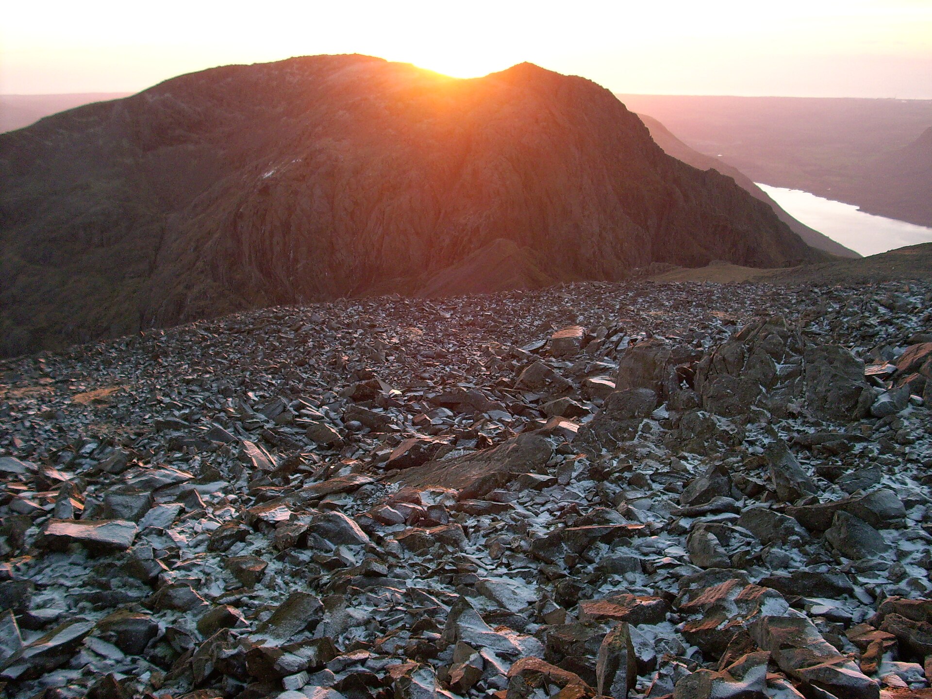
The shortest ascent of England's highest mountain, from National Trust Lakehead via Brown Tongue to the 978m war-memorial summit.
- 9 km
- 900 m up
- 5.5 hr
- Hard
Highest summit, deepest lake, no bus network.
70 m
Seascale
15 km
8
64
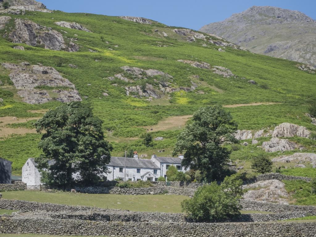
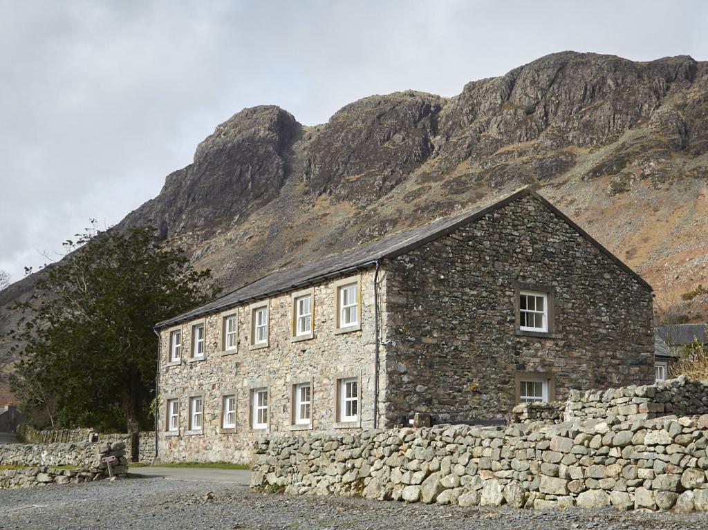
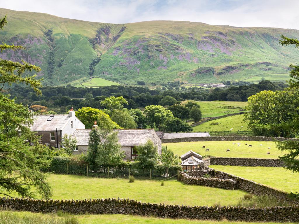
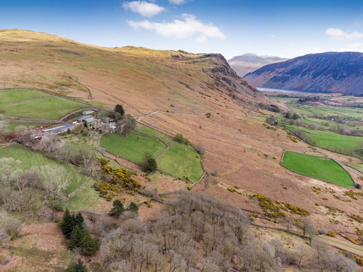
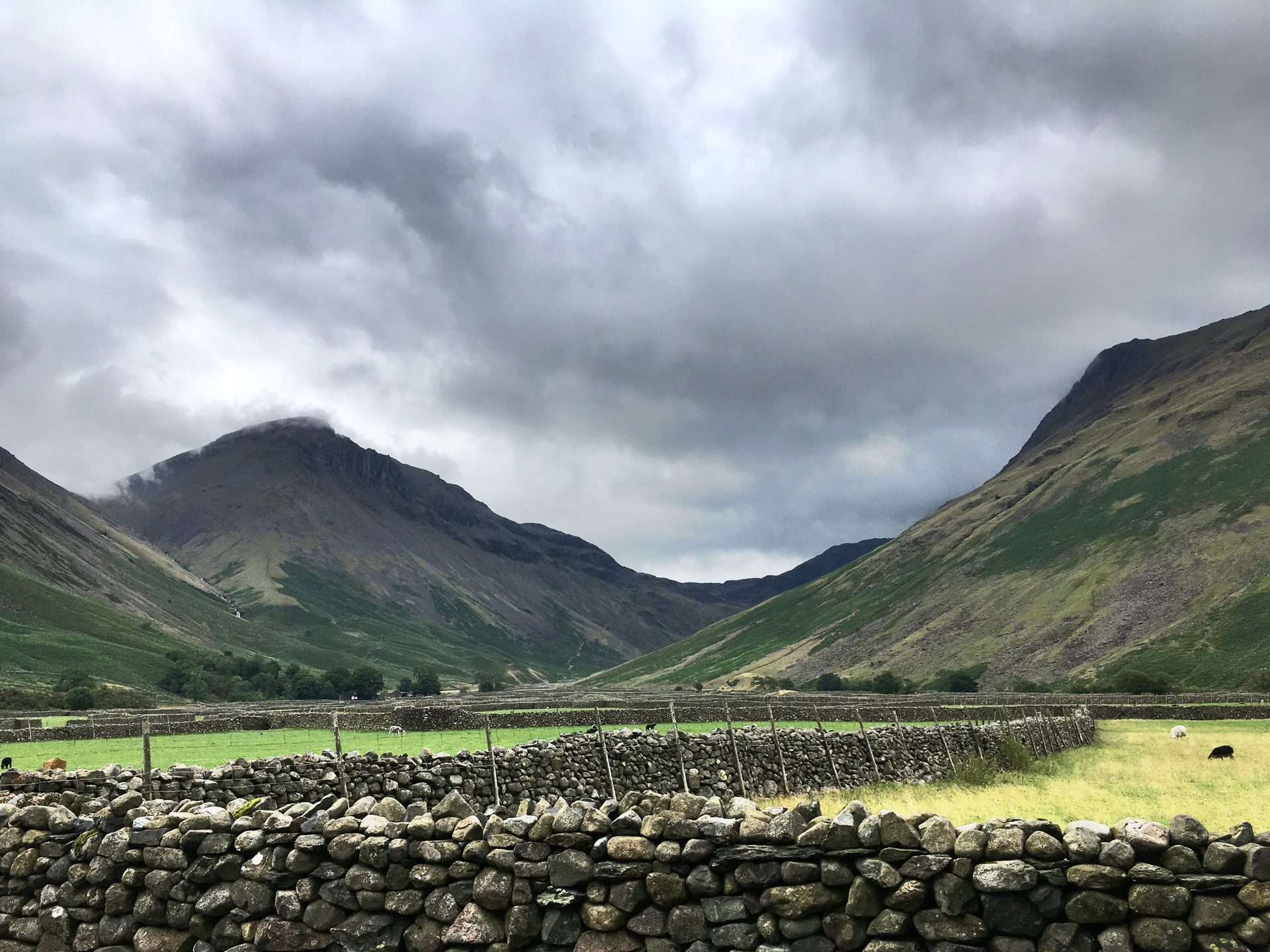
Wasdale is the western valley that puts England’s highest summit and England’s deepest lake on the same road. Wastwater, designated a Special Area of Conservation, fills the floor; Scafell Pike at 978m on the Ordnance Survey, Sca Fell, Great Gable and the screes into the lake close the head. The National Trust owns large tracts of the surrounding fell and the three valley car parks. Wasdale Head, the farm hamlet at the road end, has long claimed the highest mountain, the deepest lake, the smallest church and, through Will Ritson’s joke, the biggest liar in England. Sleep here for Scafell Pike and the lake-edge walks around it. Sleep in Keswick or Ambleside if the week depends on moving between valleys by bus.
From Lakehead the National Trust marks short walks into Low Wood and along Wastwater that need no further driving once the car is parked. Scafell Pike via Brown Tongue starts from the same car park and is a full mountain day from the first steepening of the path, not an evening outing from the Wasdale Head Inn. Great Gable follows the same pattern: the car covers the drive from Gosforth; the walking begins at the road end. Without a car the National Trust’s own directions put Seascale, on the Cumbrian Coast Line, as the nearest station, after which the gap is a taxi or a long road walk. There is no regular valley bus that replaces that drive. Eskdale, on the Ravenglass and Eskdale Railway, is the neighbouring base when rail matters more than the Scafell approaches; that line does not continue into Wasdale.
Seascale, served by Northern Trains on the Cumbrian Coast Line, is the nearest station. The National Trust puts the road turn at Gosforth, five miles east of the A595. Lakehead car park takes payment at machines and through the JustPark app; members check in without a fee, and the Trust states that parking income is redirected toward path and habitat work in the valley. Toilets are at Lakehead. Dogs are welcome on the Trust’s outdoor land if kept under close control around stock, under the Canine Code published on the Wasdale property page. There is no supermarket in the valley; Gosforth or the coast towns are the last places to buy food before the dead end.
Low Wood and the lake edge near Lakehead are the outings that still work with short legs: level ground, short distances, and no commitment to a summit. Scafell Pike is the other extreme. The National Trust’s Scafell route card calls the climb a tough, steep hike on hard terrain, unsignposted, with a war-memorial summit from which it is easy to leave into the wrong valley in cloud. Brown Tongue is a long stone staircase before the boulder field above Hollow Stones. Keep that day for older children who already manage multi-hour rocky ascents. When the party is younger, stay on the lake or base in Eskdale, where Hardknott Roman Fort and the narrow-gauge railway ask far less of small legs than England’s highest cairn.
National Trust pay-and-display car parks at Lakehead (OS NY 182075), Overbeck and Nether Wasdale; free for members. Overnight parking is not allowed. Lakehead is the usual start for Scafell Pike and fills early on clear weekends.
From the A595 at Gosforth the unclassified road runs about five miles east into the valley. Hardknott and Wrynose belong to Eskdale; they are not a through-route into Wasdale for anyone treating the passes as a shortcut.
The shortest ascent of England's highest mountain, from National Trust Lakehead via Brown Tongue to the 978m war-memorial summit.
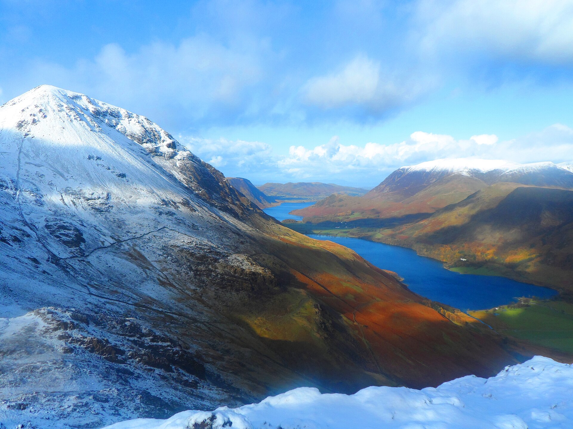
A rocky circuit over Scarth Gap to the fell Alfred Wainwright named his favourite, and where his ashes were scattered.
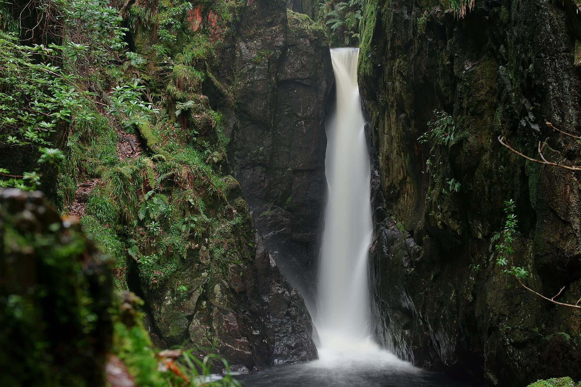
A short, rough walk up a wooded ravine near Boot to one of Lakeland's least-visited waterfalls.
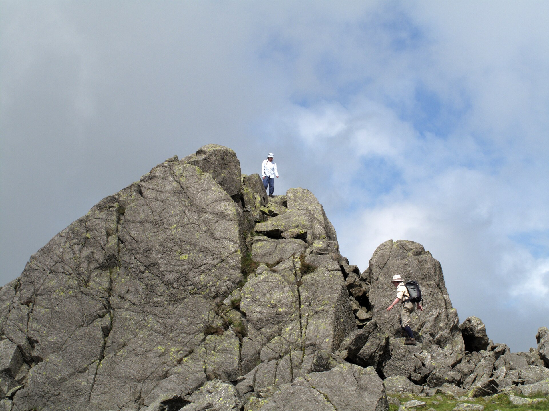
A short but steep climb from the top of Hardknott Pass to a rock-towered summit above Eskdale and the Duddon Valley.
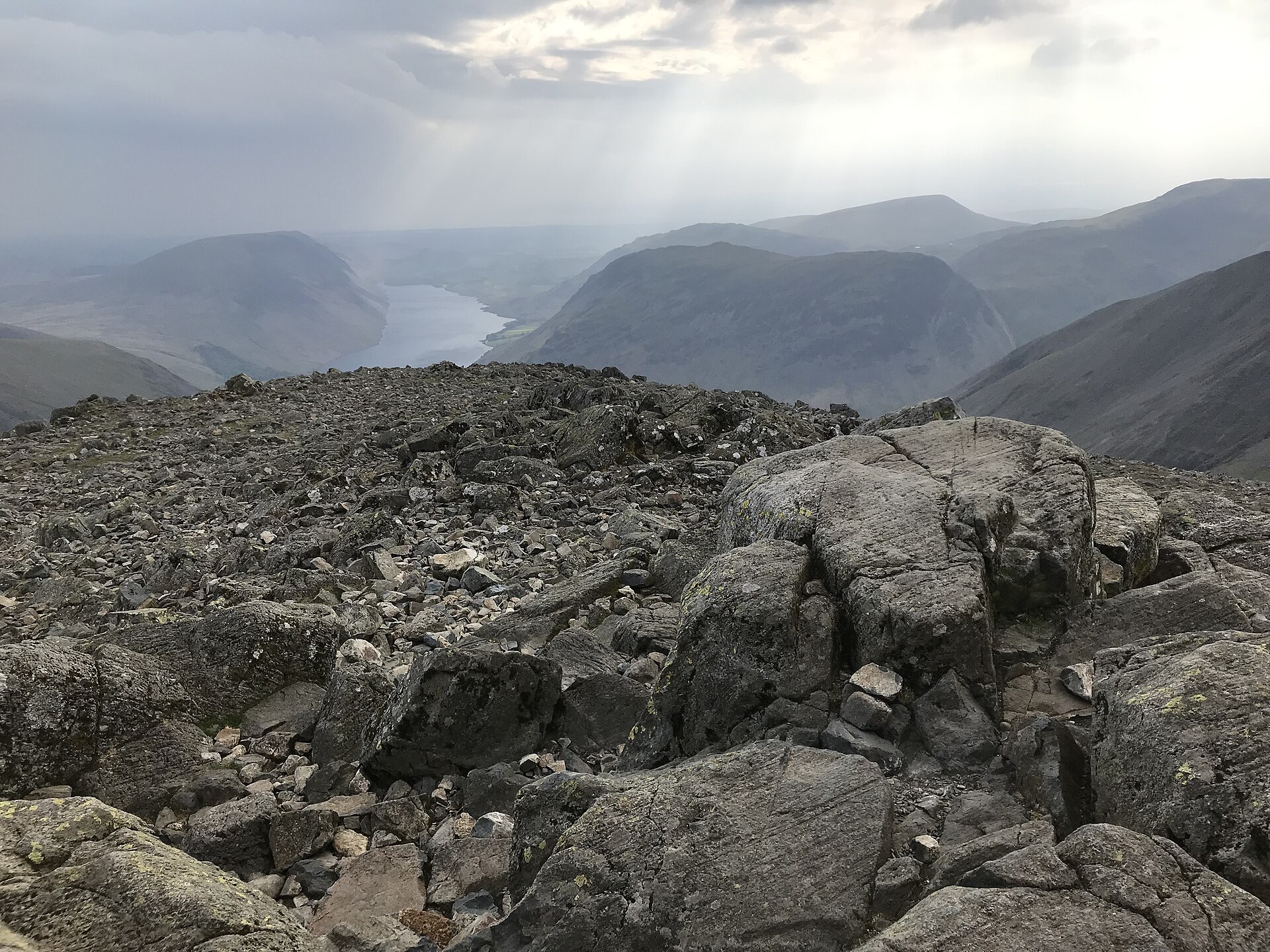
A hard mountain round over four Wainwrights from Honister Pass to the fell chosen as the National Park's emblem, and its Great War memorial.
A level, four and a half mile path around Buttermere's shore, through a short rock tunnel, with no climbing.
Places you can drive to, or reach in a few minutes from the car.
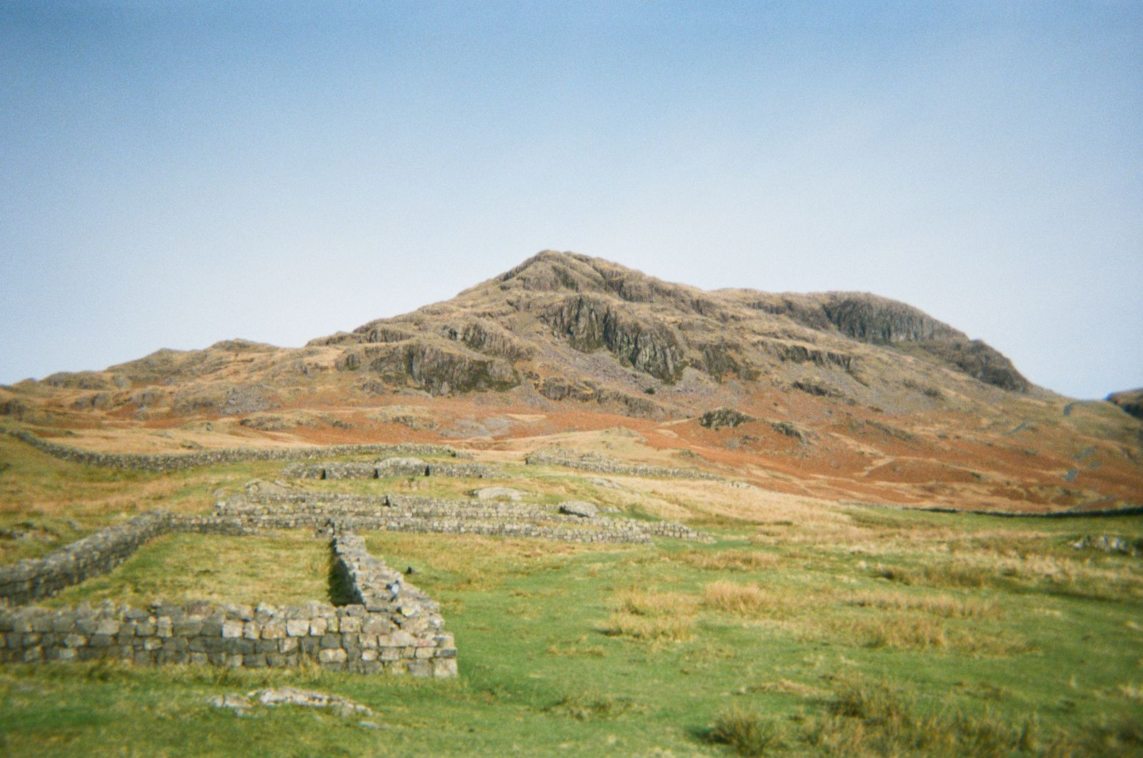
A ruined Roman fort on a spur above Eskdale, free to visit, with parking beside the site and panoramic valley views.
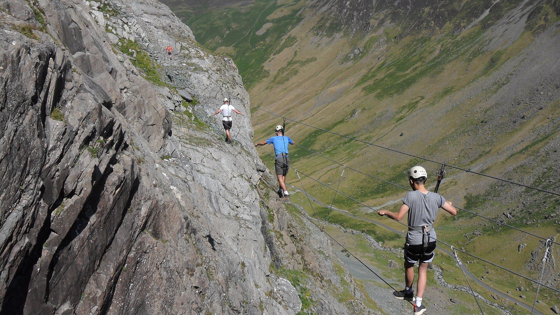
A fixed-cable route up a working slate mine's quarry face at the top of Honister Pass, run by the mine.