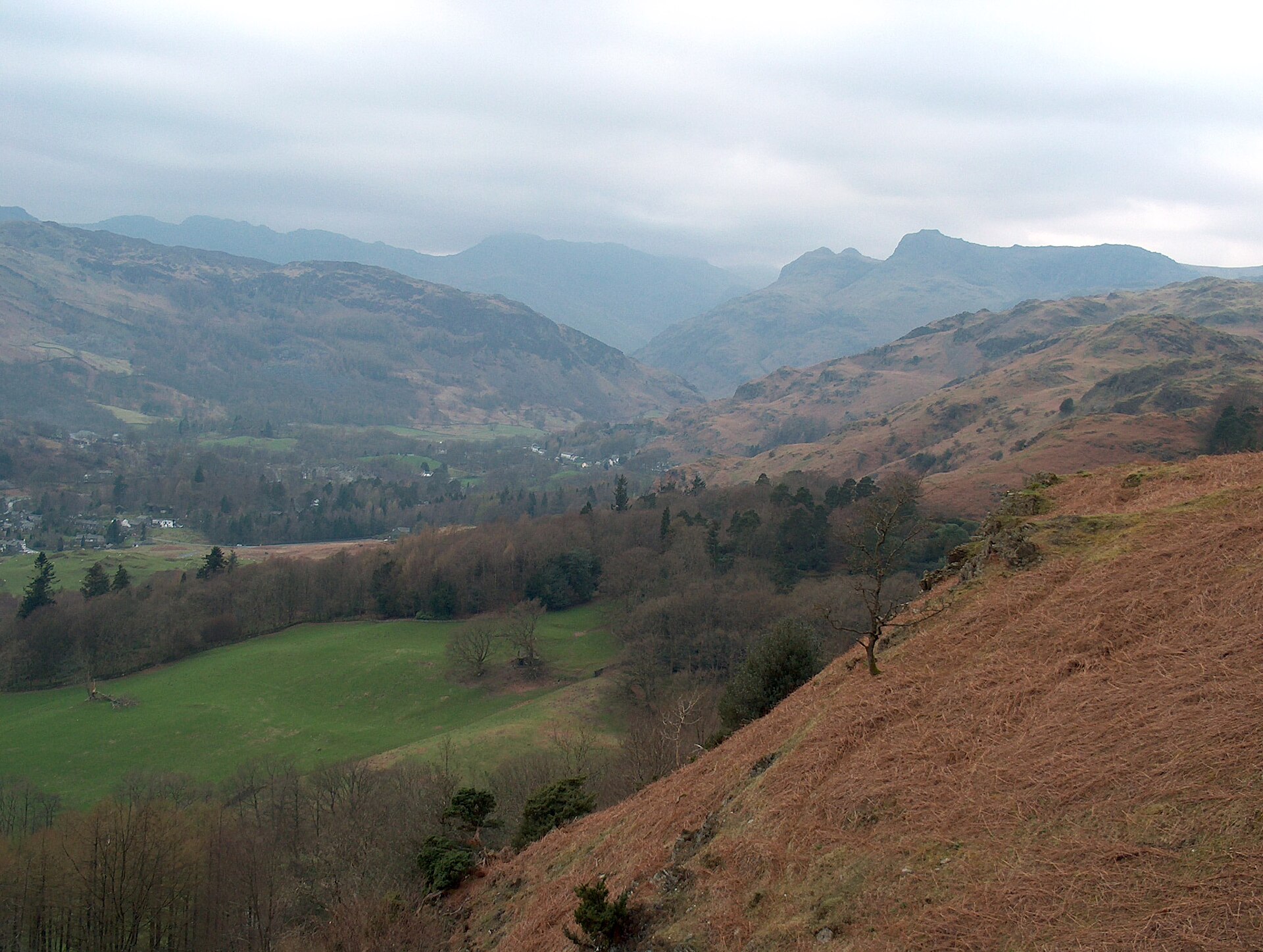
Loughrigg Fell from White Moss
A short, well-used climb to a broad summit scattered with tarns, starting on the road between Ambleside and Grasmere.
- 4.9 km
- 273 m up
- 1 hr 30 min moving
- Easy
Windermere's head, and the easiest Lakeland base without a car.
51 m
Windermere
7.8 km by road
10
1116
Ambleside sits at the head of Windermere, England’s largest natural lake, a mile inland from its own pier at Waterhead. It has been a walking centre since Victorian tourism first reached the Lakes, and the main street still runs past Bridge House, a tiny seventeenth-century building over Stock Ghyll that local people bought and gave to the National Trust in 1926. The town works for almost any kind of week: gentle valley walks straight from the door, harder fells a short bus ride away, and Windermere’s boats and shops when the weather turns. It is also the one base in this list that does not need a car at all.
Stock Ghyll Force is signposted from the main street and reachable in ten to fifteen minutes on foot. Wansfell Pike’s ascent starts at Stock Ghyll Lane, off the main street, so the whole walk begins in town. Loughrigg Fell is a different matter: its easiest path starts from White Moss Common car park, on the road toward Grasmere, a short drive or a longer riverside walk from Ambleside rather than a start from the town itself. The Fairfield Horseshoe also begins in town, at the Rydal Road car park, while Helm Crag starts on Easedale Road in Grasmere, a short bus ride north. Coniston, Langdale and the central fells all need either a car or one of the buses that pass through town on their way further into the Lakes.
Windermere railway station, the terminus of the branch line from Oxenholme, is the nearest station, just under 5 miles away by road. Two Stagecoach services connect it to Ambleside: the 555 Lakeslink, which runs the length of the Lakes from Lancaster to Keswick, and the 599, which Scenic Buses says runs all year, mostly with open-top buses. Between them, the two routes make Ambleside a car-free base for most of the year, not just in summer. The A591 in from Windermere is a normal main road with no pass or seasonal closure to plan around.
Bridge House, the Trust’s tiny building over Stock Ghyll on the main street, is close enough and flat enough for the smallest legs to reach on their own, and gives even a short outing somewhere definite to arrive at. Continuing up to Stock Ghyll Force adds ten to fifteen minutes of steps and wet stone, better suited to a steady six or seven-year-old than a toddler, and the path cannot take a pushchair at any point. For a first proper hill, Loughrigg Fell is the better choice: a short drive to White Moss Common, then 273 metres of ascent rated easy, onto a broad, undulating summit scattered with small tarns rather than one narrow point to touch and turn back from. Wansfell Pike is a different proposition. Its direct route climbs a flight of restored stone steps steep enough to trouble unsteady adults, let alone children who tire of stairs. On a wet day, the Windermere boats from Waterhead pier cover an afternoon without a single hill in it.
Five pay and display car parks serve the centre (Lake Road, King Street, Rydal Road, Kelsick Road and the area by the library), payable by coins, card or phone.
A short, well-used climb to a broad summit scattered with tarns, starting on the road between Ambleside and Grasmere.
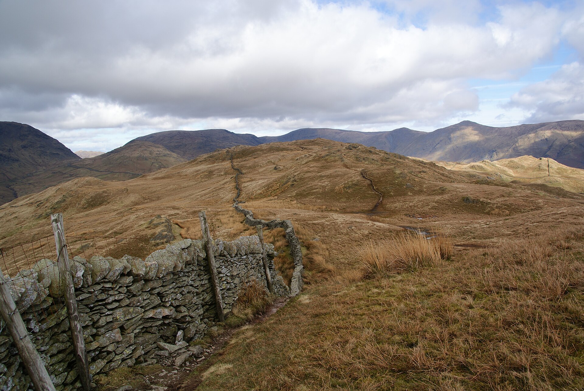
A steep climb straight from Ambleside to a summit with one of the best valley views in the central Lakes, often circled via Troutbeck.
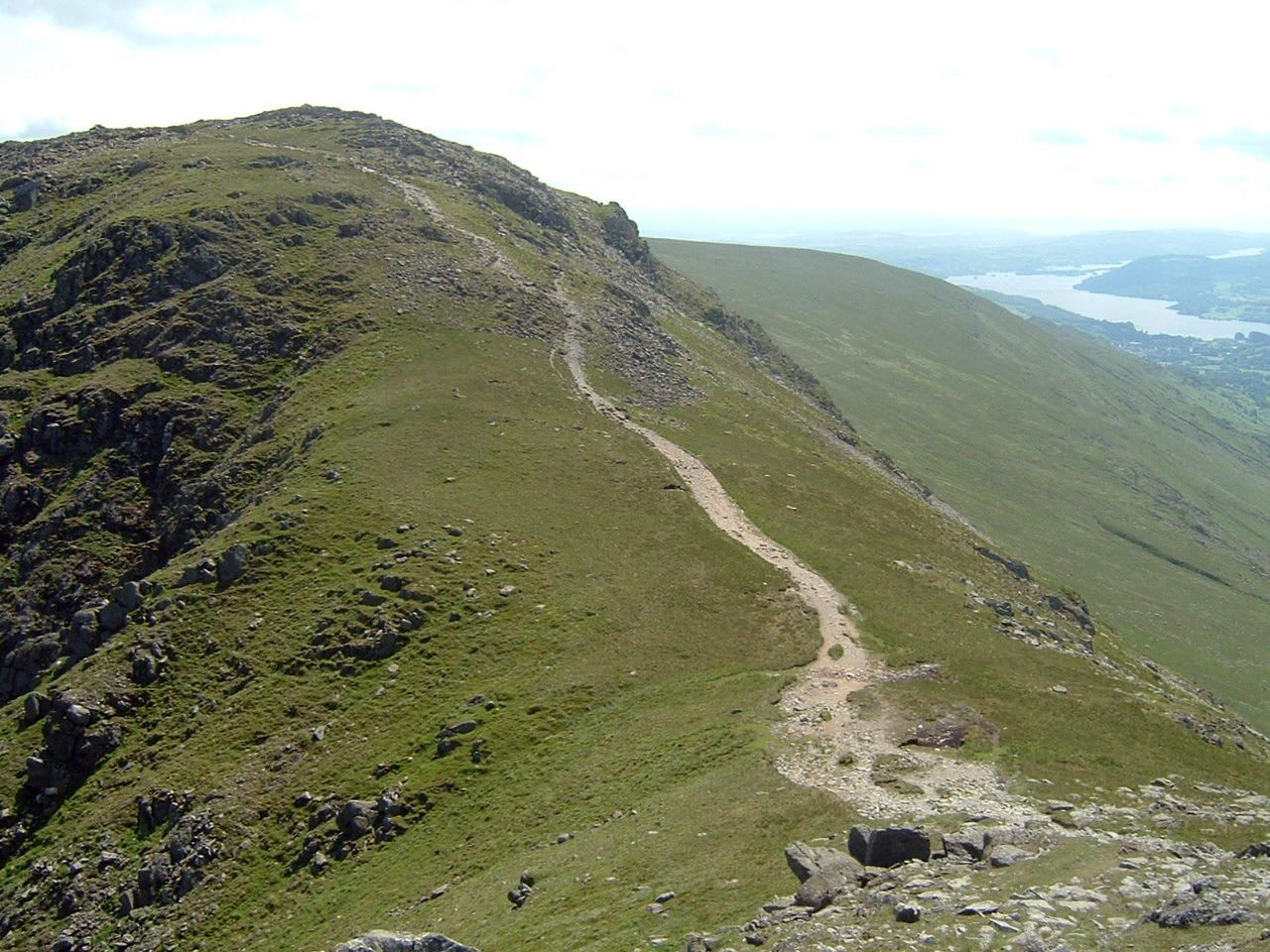
An eight-top ridge circuit over Fairfield's 873m summit plateau, the classic Wainwright horseshoe above Ambleside.
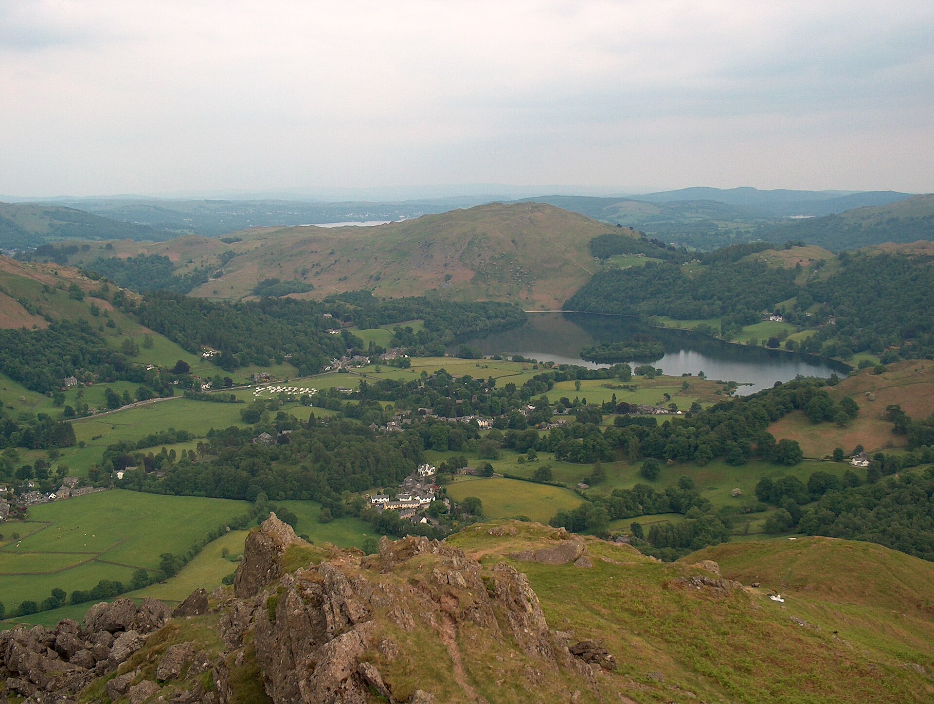
A short, steep fell above Grasmere whose ridge rocks carry names: the Lion and the Lamb, and the summit outcrop known as the Howitzer.
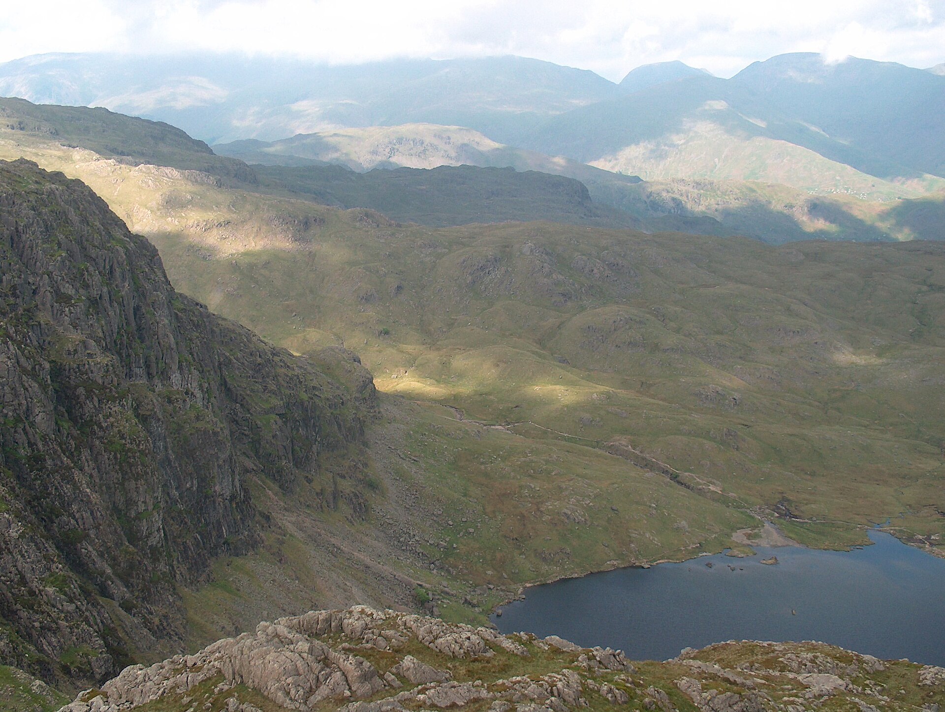
A six-top round of Great Langdale's skyline, up Pavey Ark by the North Rake from Stickle Tarn and over Pike of Stickle and Harrison Stickle.
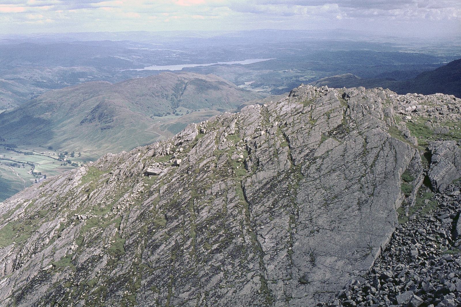
A hard circuit of the fell that closes Great Langdale, climbing past Whorneyside Force and the Great Slab to a boulder summit at 902m.
Reached by car, by lift or by a short walk, rather than a day on the hill.
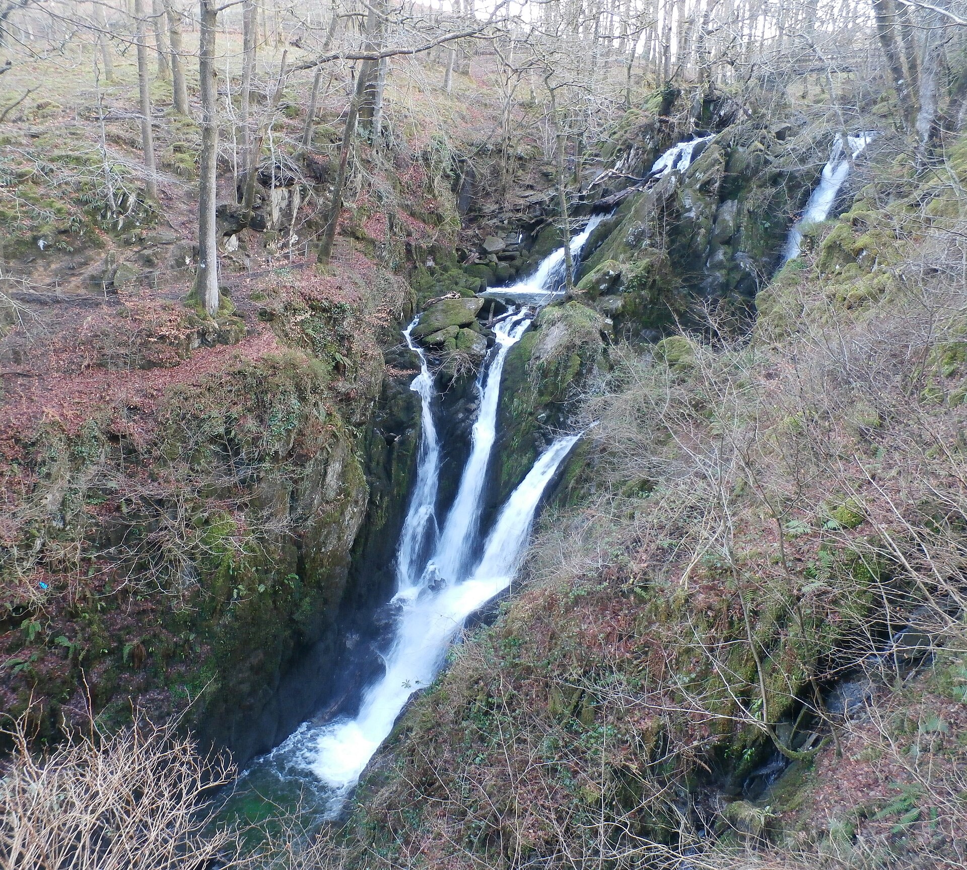
A wooded waterfall dropping around 21 metres in two stages, a short, stepped walk from Ambleside's main street.
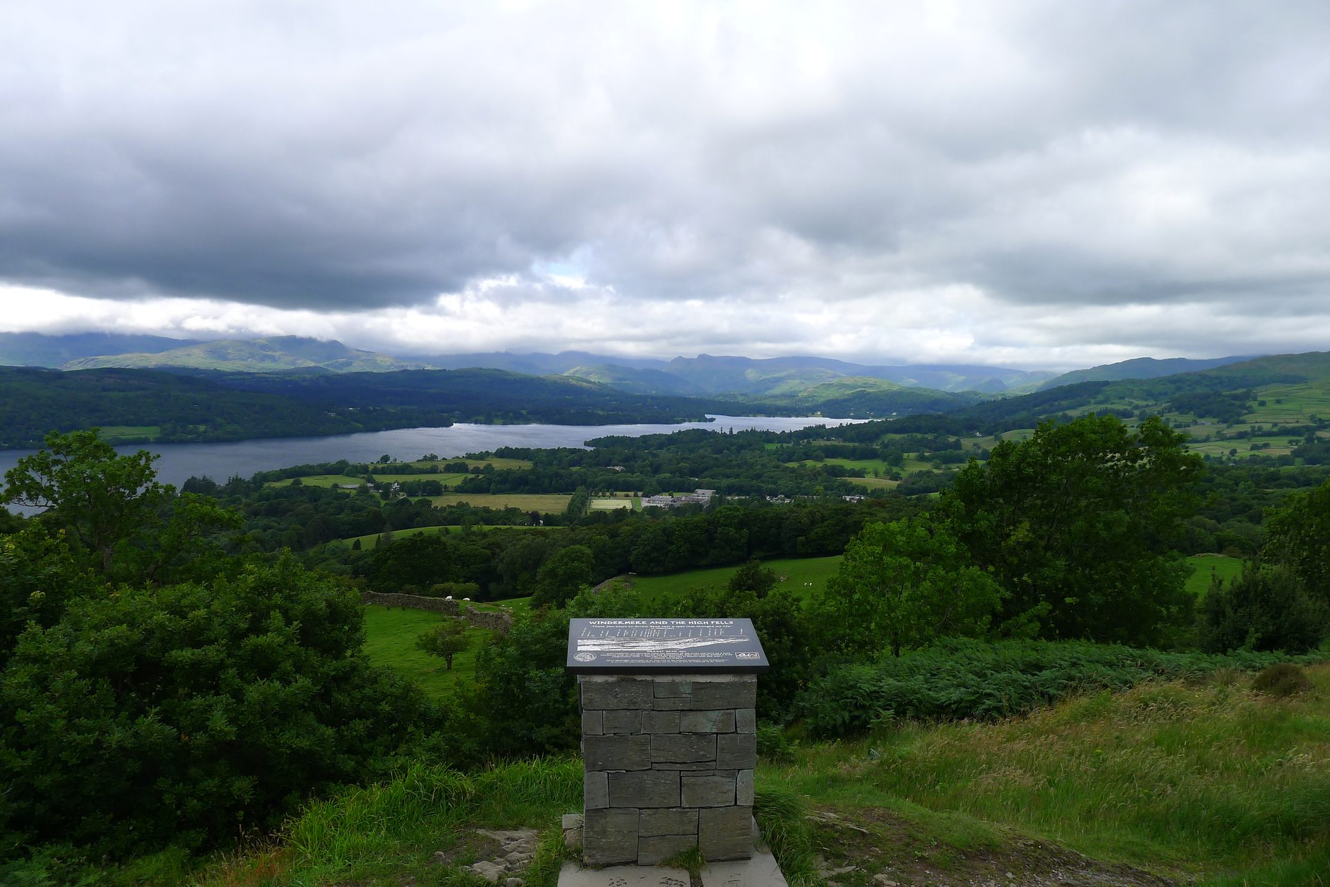
A 238m wooded knoll above Windermere town, the first fell Wainwright climbed, reached from the station on a Miles Without Stiles path.
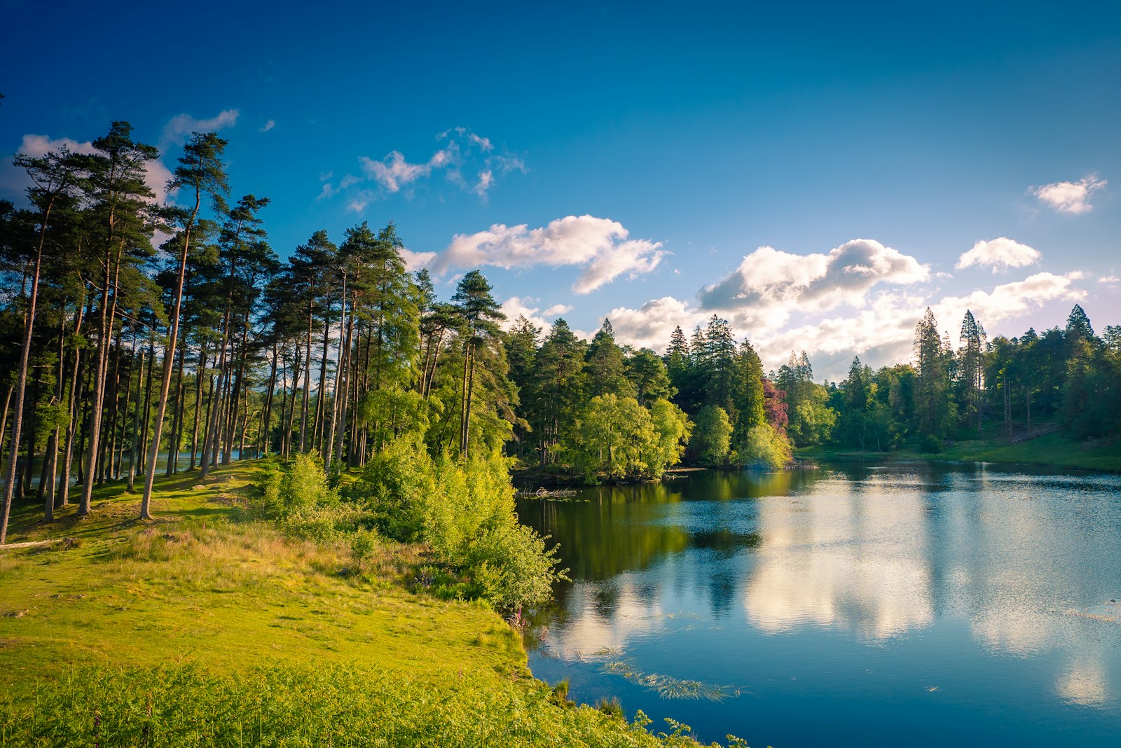
A National Trust tarn with an accessible path from the car park and views to the Coniston fells and Langdale Pikes.
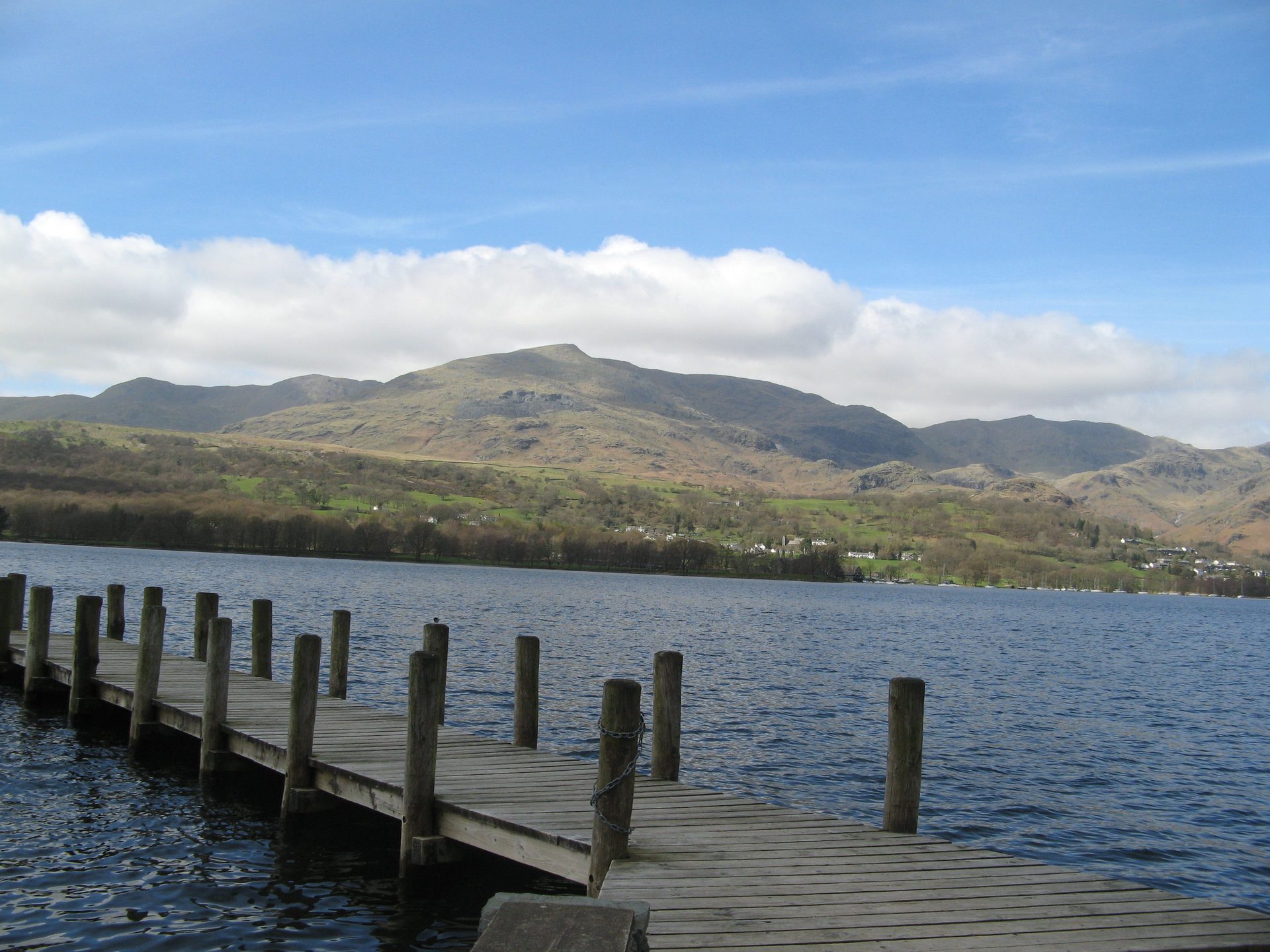
Kayak, canoe and rowing boat hire on Coniston Water from a National Park-run centre a few minutes from the village.
Booking through these links earns a commission. The price is the same.
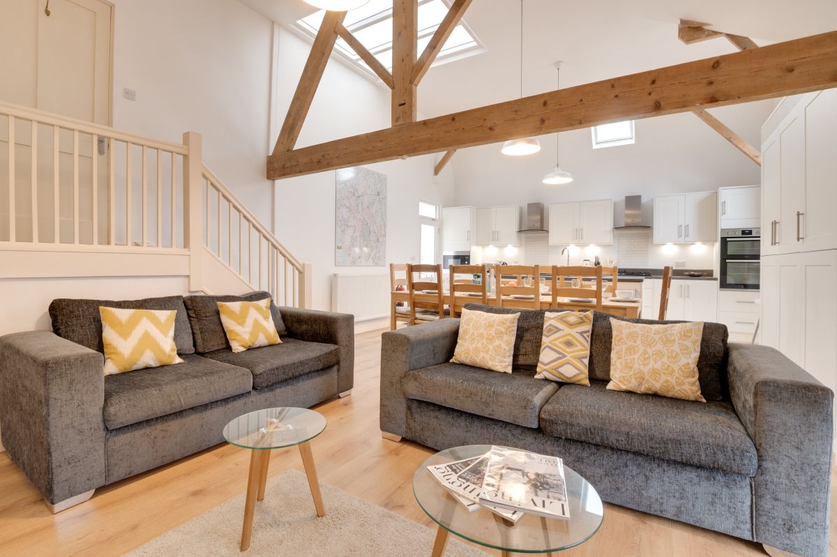
Ambleside, Cumbria
Sleeps 10 · 5 beds
from £1,207 / week
Check dates for The Ambleside Loft (opens the booking site in a new tab)Checked 5 Oct
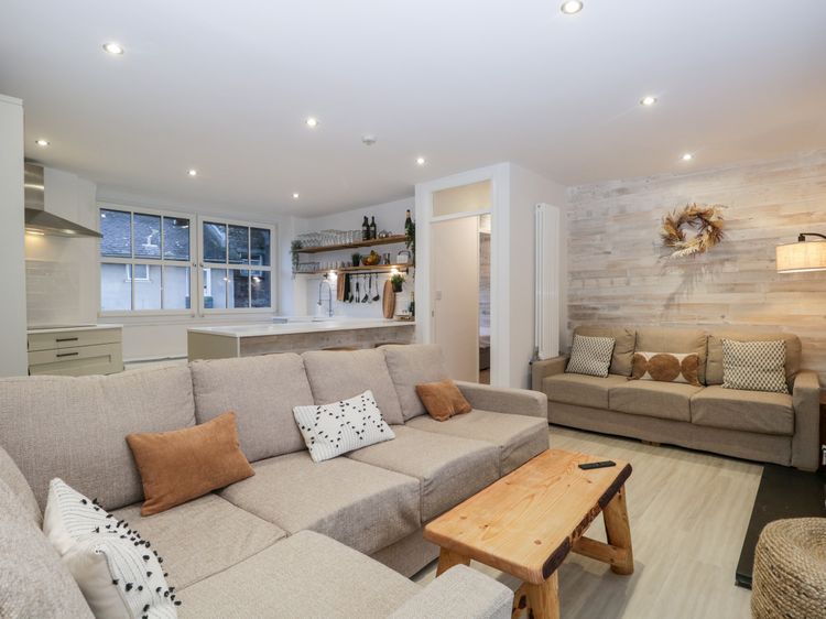
Ambleside, Cumbria
Sleeps 4 · 2 beds
from £627 / week
Check dates for Roseberry Cottage (opens the booking site in a new tab)Checked 5 Oct