Bowfell from Great Langdale
Near Great Langdale, Lake District
- Distance
- 13.6 km
- Ascent
- 861 m
- Time
- 4 hr 10 min
- Difficulty
- Hard
- Summit
- 902 m
- Shape
- Circular
- Parking
- Paid
Start: Old Dungeon Ghyll car park, Great Langdale
Grid ref: NY 286061
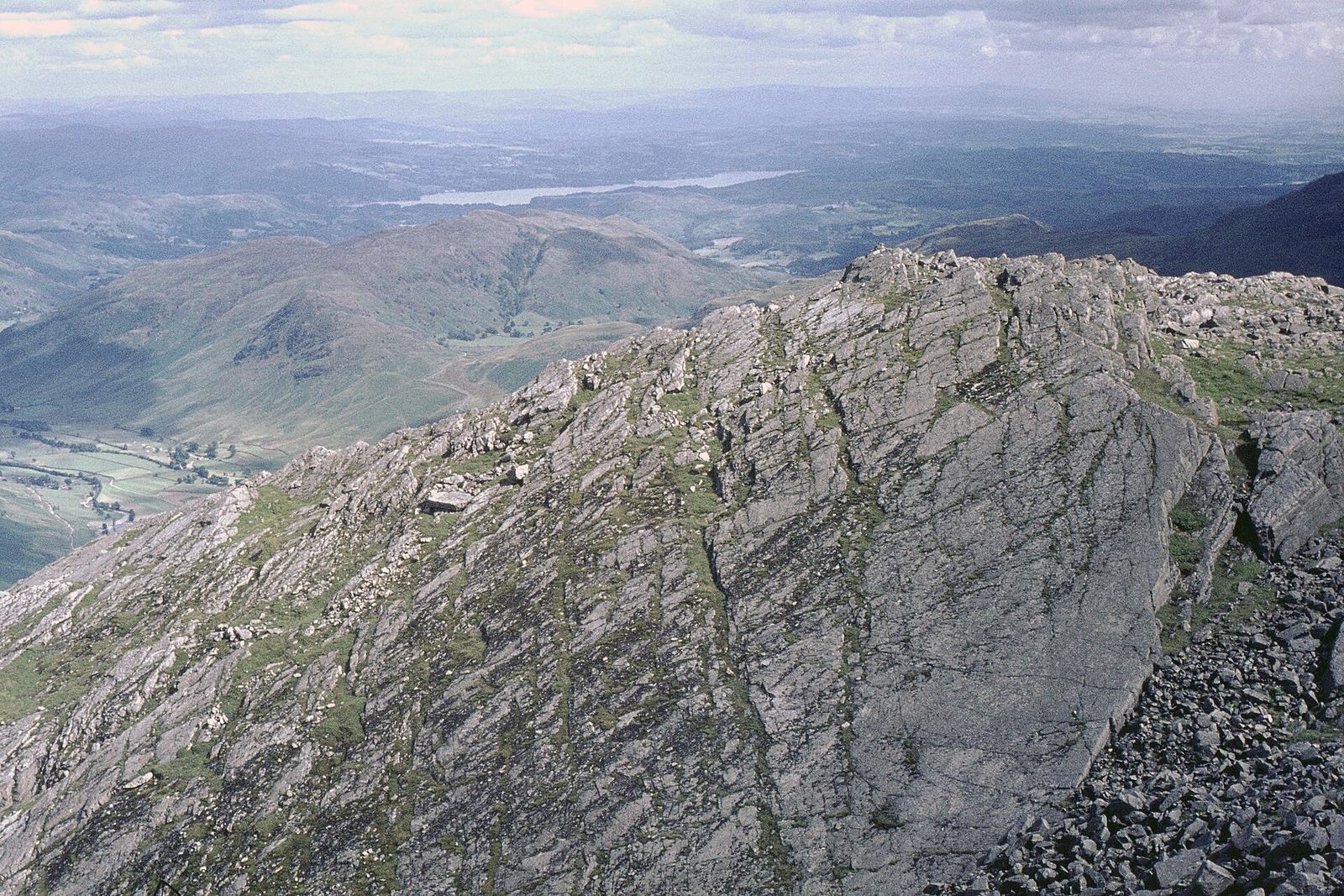
Bowfell closes the head of Great Langdale at 902m, a pyramid of boulders that Wikipedia ranks as the eighth-highest mountain in the Lake District and that Alfred Wainwright counted among his best half dozen Lakeland fells. Most walkers climb it by The Band, the long spur between Mickleden and Oxendale. The circuit described by the route guide WalkLakes is longer and wilder, and its interest lies on the north-east face rather than the ridge.
It starts at the National Trust pay and display car park beside the Old Dungeon Ghyll, which WalkLakes says fills quickly most weekends. The path runs through Stool End farm and up Oxendale Beck to Whorneyside Force, where the water drops 12m into a pool, then climbs beside Hell Gill and Busco Sike before crossing The Band on pathless grass. The climbers’ traverse follows a narrow terrace beneath the crags to the foot of the Great Slab, a sheet of rock tilted at about 30 degrees and a couple of hundred feet long, with a spring at its base that Wainwright rated above any other water he had tasted. WalkLakes treats the zigzag beside it as an easy scramble among boulders and warns against walking out onto the slab itself: a slip when it is wet does not stop. From the summit the circuit drops to Ore Gap, Angle Tarn and Rossett Gill, and returns along Mickleden.
WalkLakes gives 13.6km with 861m of ascent and a minimum time of 4 hours 10 minutes, grades the ground as hands on rock and steep or loose scree, and marks it potentially dangerous for dogs. It suits a fit walker with some experience of rough ground who wants Bowfell’s wild side. It does not suit anyone who dislikes exposure and scree, or anyone without map and compass skills, since parts of the route are pathless and marked only by a vague line of cairns. For a shorter ridge day from the same valley, the Langdale Pikes are 4.5km shorter and top out at 736m.
Underfoot
Rough mountain paths, some terraced above crags, climb past Whorneyside Force and Hell Gill, then pathless grass to the climbers' traverse, a narrow terrace beneath Bowfell's north-east crags. A zigzag path among boulders beside the Great Slab gives a minor scramble, and the summit is a jumble of large boulders. The descent by Ore Gap, Angle Tarn and Rossett Gill is steep and stony.
Stay within reach of the start
Everything here is inside 12 km of Bowfell from Great Langdale.
Booking links on these earn us a commission. The price you pay is the same either way.
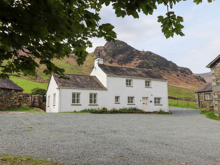
Langdale
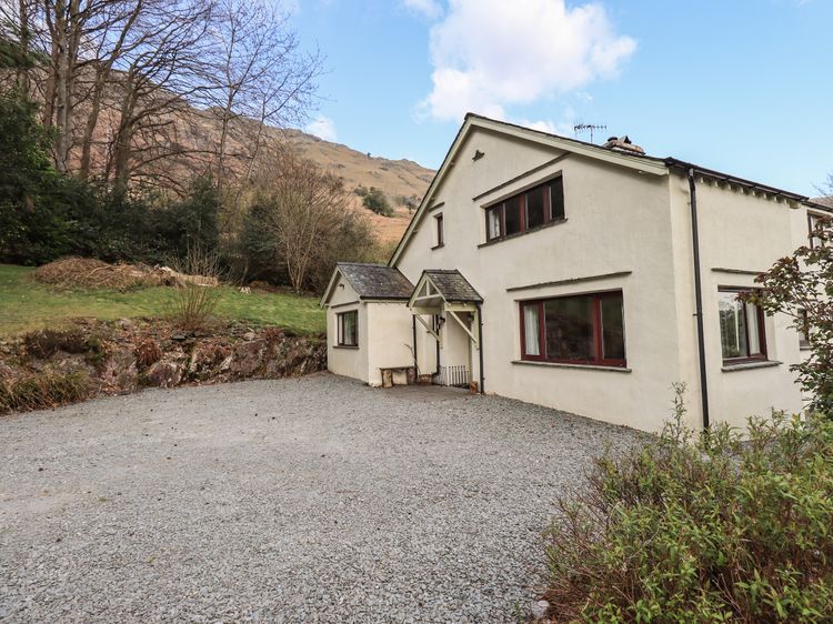
One Side House Farm
Sleeps 5 · 3 beds
- Wood burner
- No dogs
from £855 / week
Check dates for One Side House Farm (opens the booking site in a new tab)Checked 8 Oct
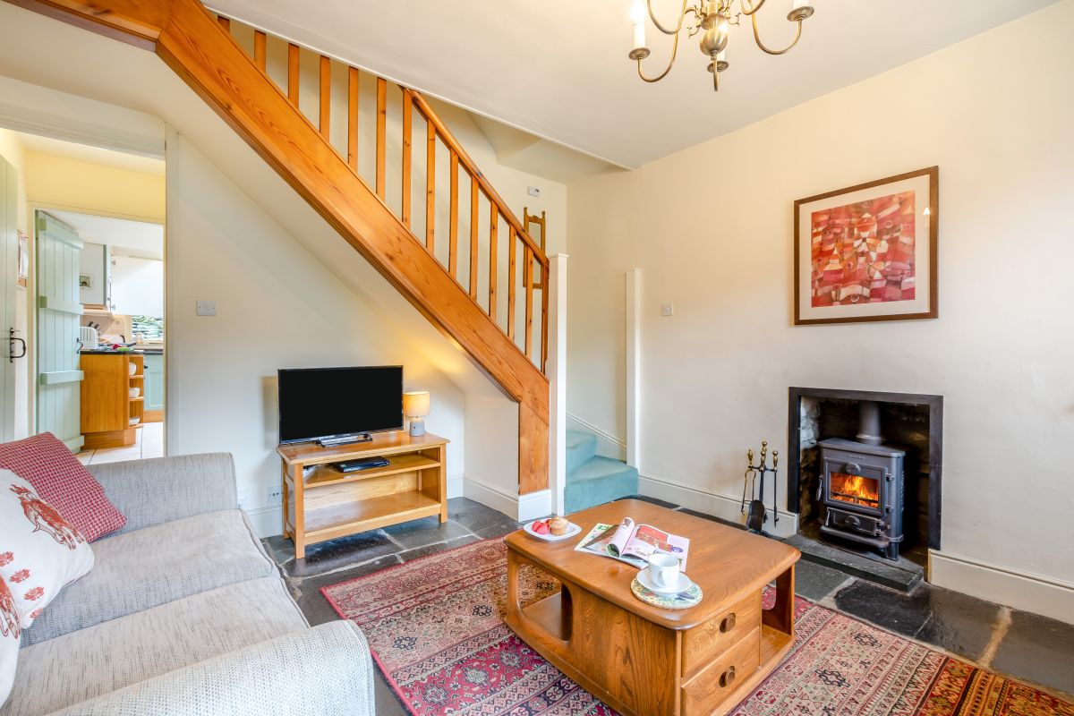
Chapel Stile, near Ambleside, Cumbria
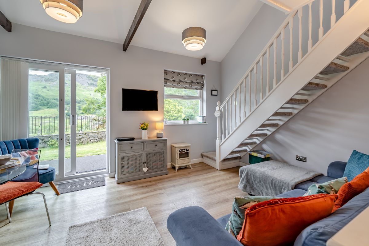
Tabitha's Cottage
Sleeps 4 · 2 beds
- Dogs
from £581 / week
Check dates for Tabitha's Cottage (opens the booking site in a new tab)Checked 5 Oct
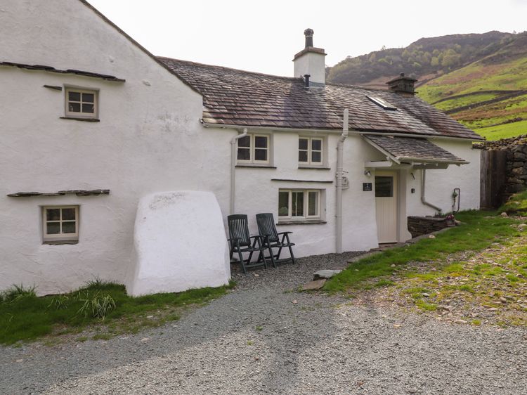
Langdale
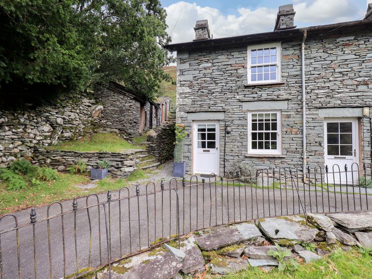
Two Side House Farm
Sleeps 4 · 2 beds
- Wood burner
- No dogs
from £651 / week
Check dates for Two Side House Farm (opens the booking site in a new tab)Checked 7 Oct
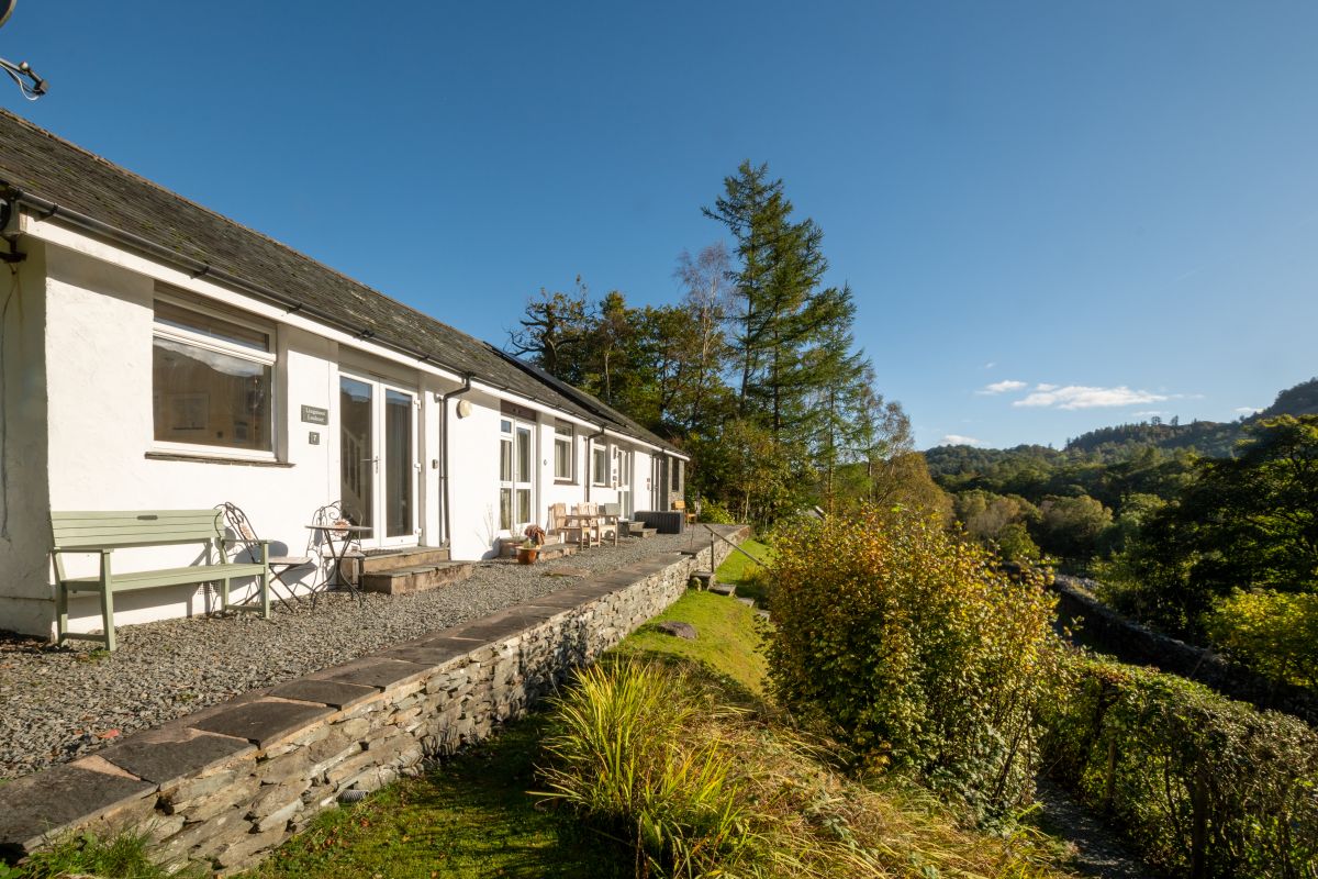
Chapel Stile, near Ambleside, Cumbria
Lingmoor Lookout
Sleeps 4 · 2 beds
- Dogs
from £612 / week
Check dates for Lingmoor Lookout (opens the booking site in a new tab)Checked 5 Oct

Distances, ascent and times here are planning figures taken from published sources, not a route description to navigate by. Take a map and check the forecast. We do not publish conditions, because nothing on this page is updated often enough for you to trust it on the day.