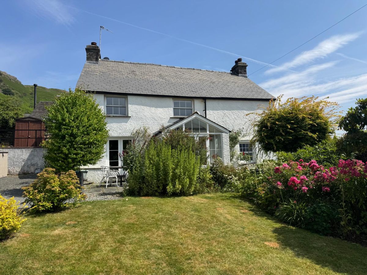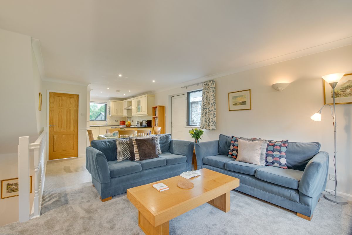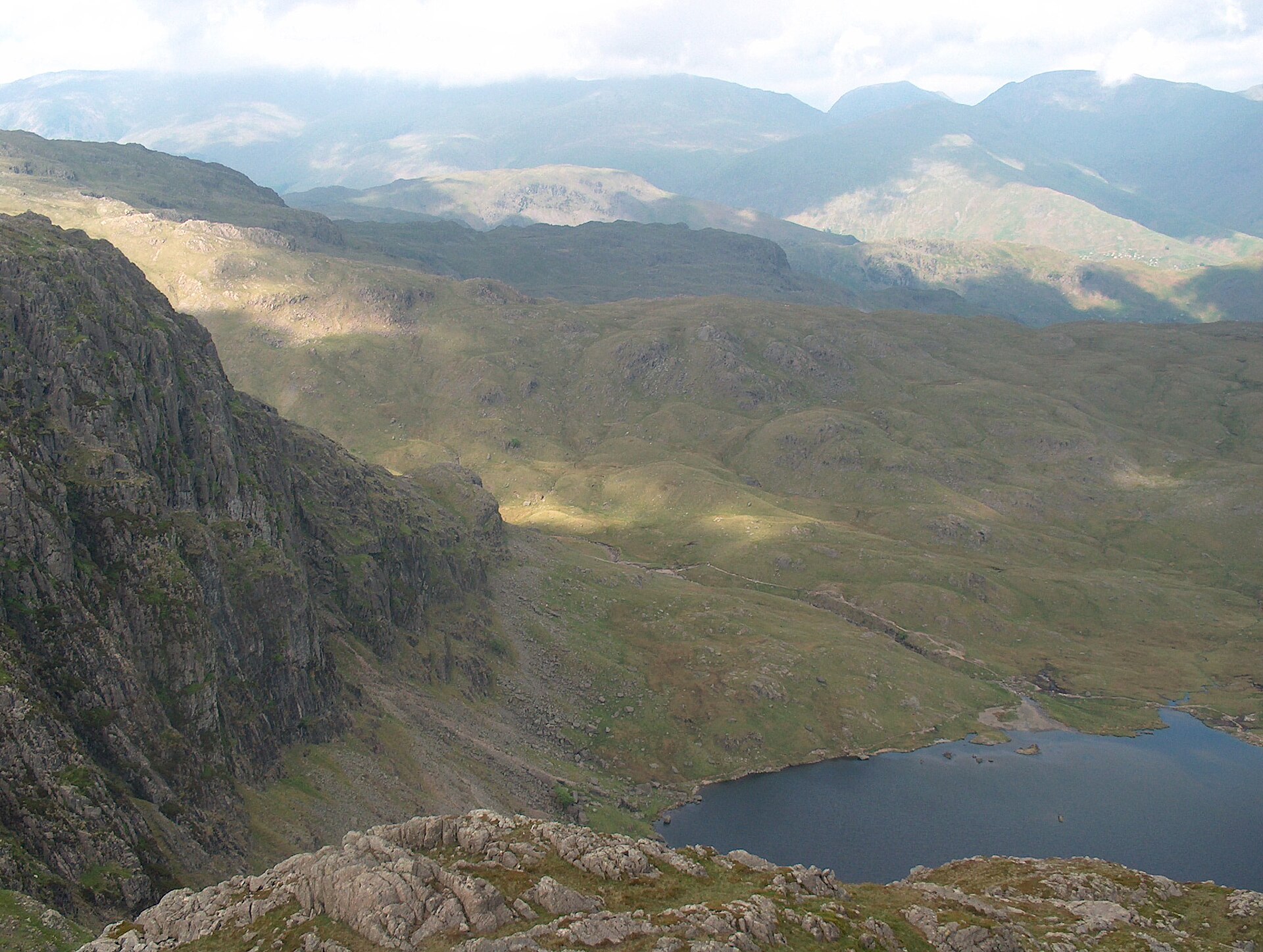
The Langdale Pikes from New Dungeon Ghyll
A six-top round of Great Langdale's skyline, up Pavey Ark by the North Rake from Stickle Tarn and over Pike of Stickle and Harrison Stickle.
- 9.1 km
- 869 m up
- 3.3 hr
- Hard
Pikes at the door; Ambleside for the shopping.
100 m
Windermere
20 km
13
328
Great Langdale is the long valley running west of Ambleside, named from the Norse for a long dale and marked off from Little Langdale by the adjective. Harrison Stickle, at 736m on the Ordnance Survey, is the highest of the Langdale Pikes on the northern skyline; Stickle Ghyll and Dungeon Ghyll Force fall into the dale below. In the Neolithic the Pike of Stickle area was an axe factory: fine-grained greenstone from these crags was worked into polished axes that archaeologists have recovered across Britain. That industry, not another adjective about the view, is what separates this valley from the next. Later it was slate. Base here when the Langdale Pikes are the point of the week. Base in Ambleside when shops, boats and a denser bus network matter more than starting from the New Dungeon Ghyll car park.
Stickle Ghyll to Stickle Tarn and on to Harrison Stickle starts at the National Trust Stickle Ghyll car park beside New Dungeon Ghyll, so the main mountain day needs no second drive once the car is in. Valley-floor paths between New Dungeon Ghyll, Sticklebarn and the Old Dungeon Ghyll are short and level. Elterwater, Blea Tarn, Little Langdale and the passes toward Eskdale all need a car, or a bus connection planned from Ambleside in advance. Services into the head of the dale are limited; they are not the Keswick network. Wasdale and Scafell Pike sit on a different western road system. Reaching them from Langdale means a long drive around, or a full mountain traverse, not a morning tip across the map.
Windermere, terminus of the branch from Oxenholme on the West Coast Main Line, is the nearest railway station, about 20km by road via Ambleside. From Ambleside the B5343 is the only public road into the head of Great Langdale. The National Trust Stickle Ghyll car park is small; on busy days the workable options are an early arrival or a stay far enough down the valley that the walk can start on foot. Pubs and hotels cluster at New and Old Dungeon Ghyll. Food shopping still means Ambleside or beyond.
Stickle Tarn is the turnaround that still works when a full Pikes round does not. The path beside Stickle Ghyll is steep and rocky from the first gates, a sustained climb rather than a level lakeshore, but it reaches open water under Pavey Ark without committing to Harrison Stickle or Pike of Stickle. Beyond the tarn the ground is rockier again, and Pike of Stickle’s summit cone is a short scramble. Keep the full circuit for school-age walkers who already manage several hours on pitched and broken rock. When legs or weather rule that out, turn at the tarn, stay on the valley floor between the hotels, or drive to Elterwater for lower paths toward Ambleside that do not start with Stickle Ghyll’s staircase.
National Trust Stickle Ghyll car park at New Dungeon Ghyll serves the Pikes path and has a small number of spaces; pay and display, free for members. Further parking sits by the Old Dungeon Ghyll; roadside options are limited and fill early on clear weekends.
From Ambleside the B5343 runs the length of the valley as a dead end. Hardknott and Wrynose sit on the Eskdale side of the passes; they are a separate outing, not a drive through to Wasdale.
A six-top round of Great Langdale's skyline, up Pavey Ark by the North Rake from Stickle Tarn and over Pike of Stickle and Harrison Stickle.
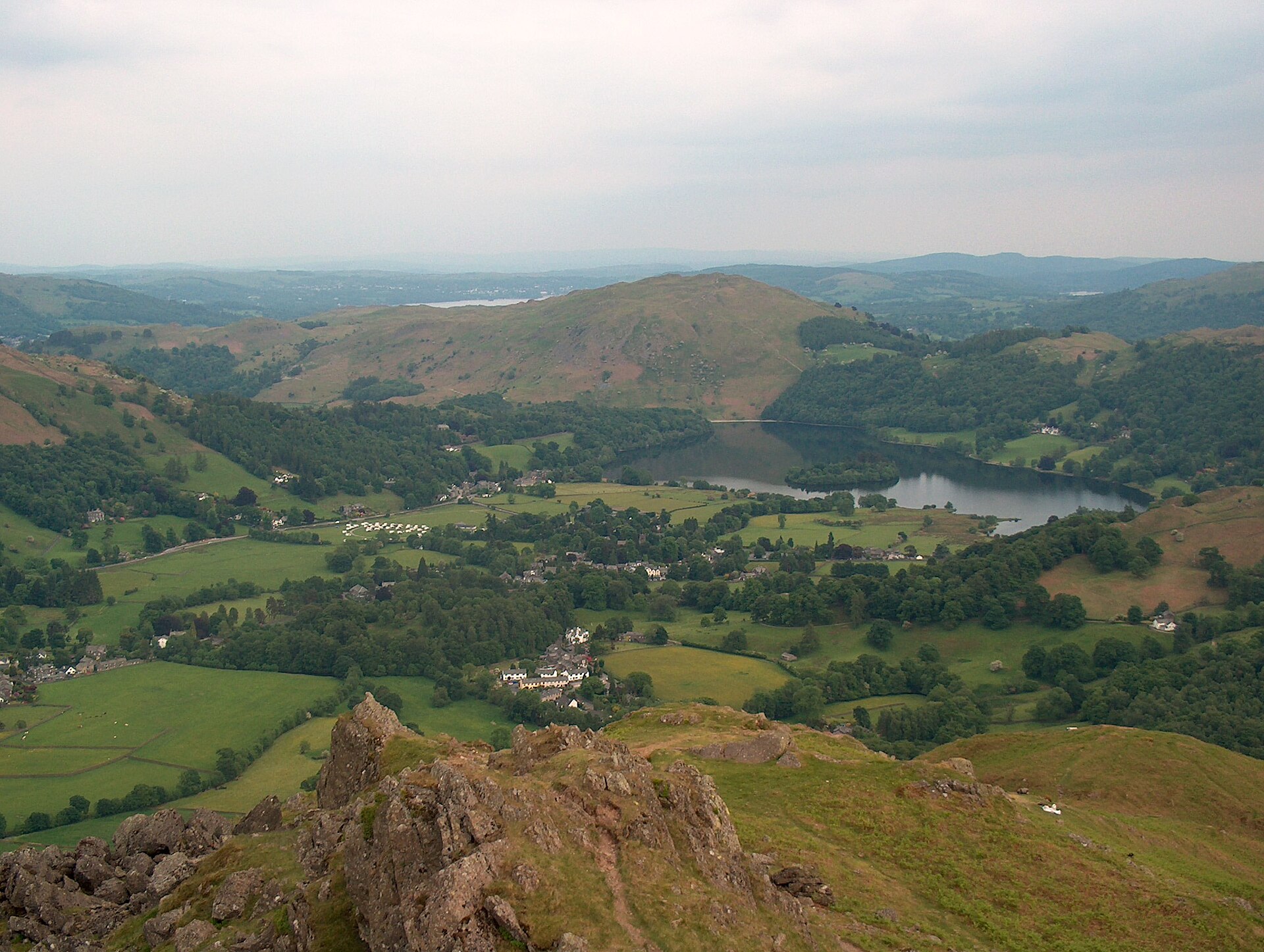
A short, steep fell above Grasmere topped by two named rock outcrops, the Lion and the Lamb and the summit-contesting Howitzer.
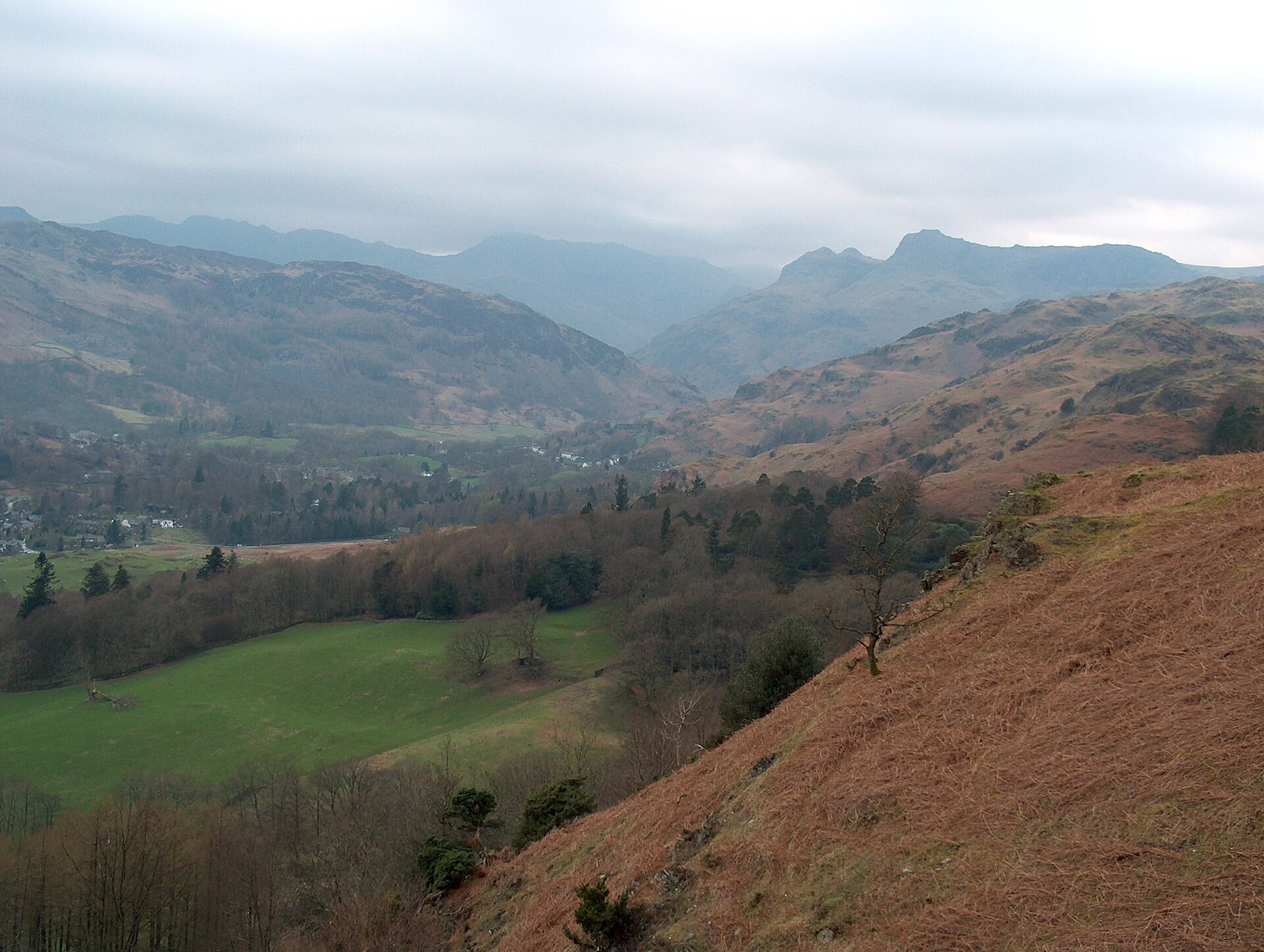
A short, well-used climb to a broad summit scattered with tarns, starting on the road between Ambleside and Grasmere.
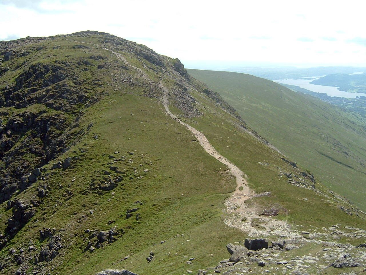
An eight-top ridge circuit over Fairfield's 873m summit plateau, the classic Wainwright horseshoe above Ambleside.
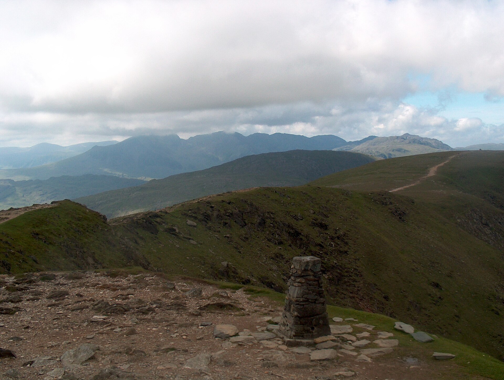
A steep, direct climb from Coniston village through old copper workings to one of the best-known summits in the southern Lakes.
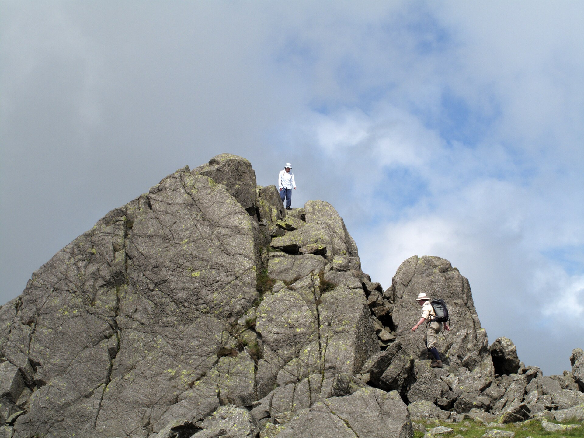
A short but steep climb from the top of Hardknott Pass to a rock-towered summit above Eskdale and the Duddon Valley.
Places you can drive to, or reach in a few minutes from the car.
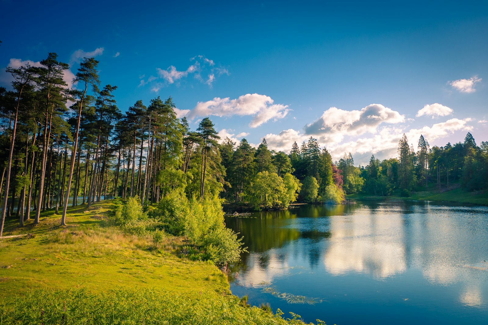
A National Trust tarn with an accessible path from the car park and views to the Coniston fells and Langdale Pikes.
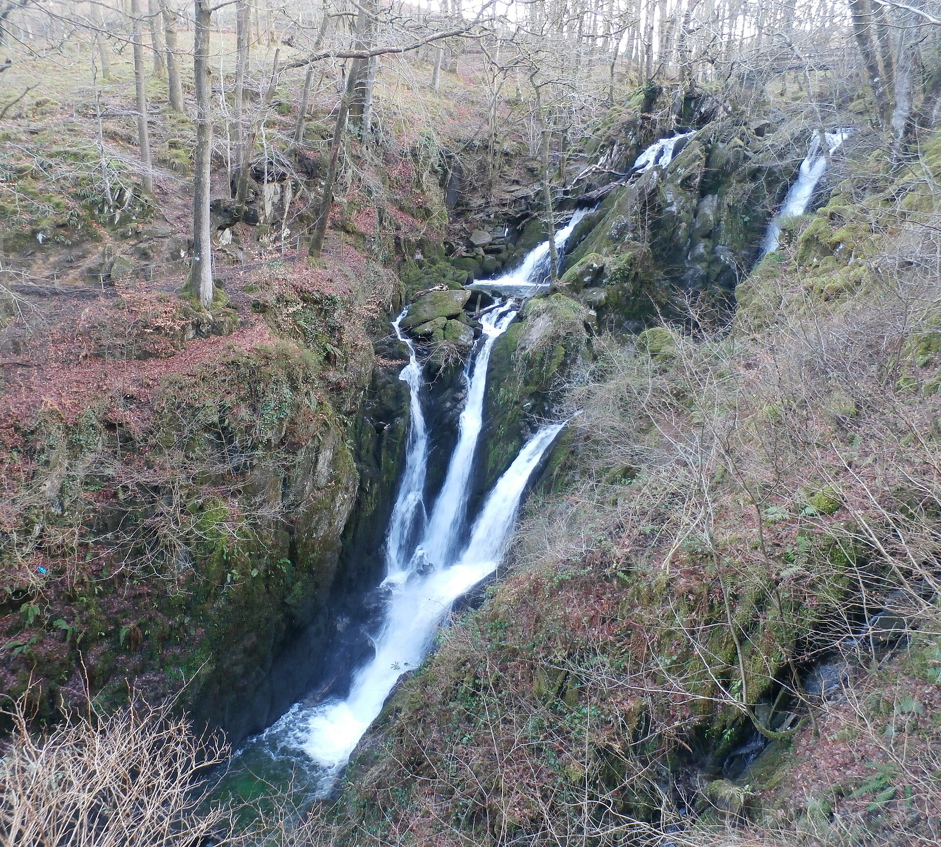
A wooded waterfall dropping around 21 metres in two stages, a short, stepped walk from Ambleside's main street.
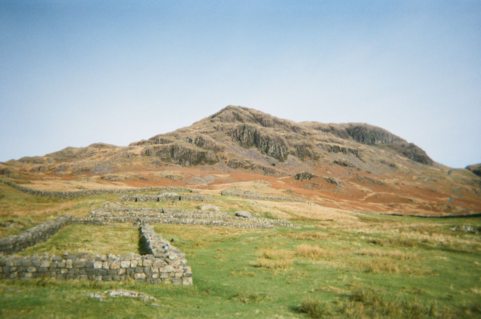
A ruined Roman fort on a spur above Eskdale, free to visit, with parking beside the site and panoramic valley views.
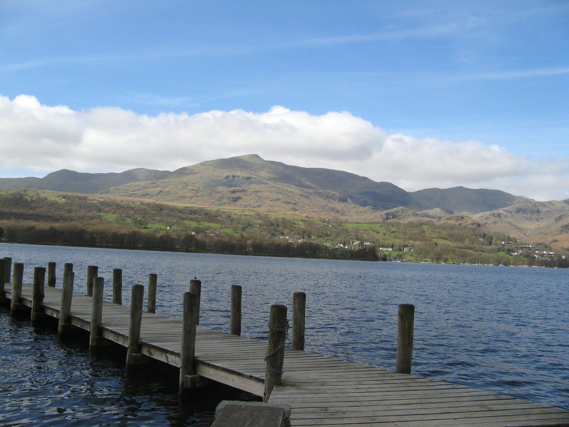
Kayak, canoe and rowing boat hire on Coniston Water from a National Park-run centre a few minutes from the village.
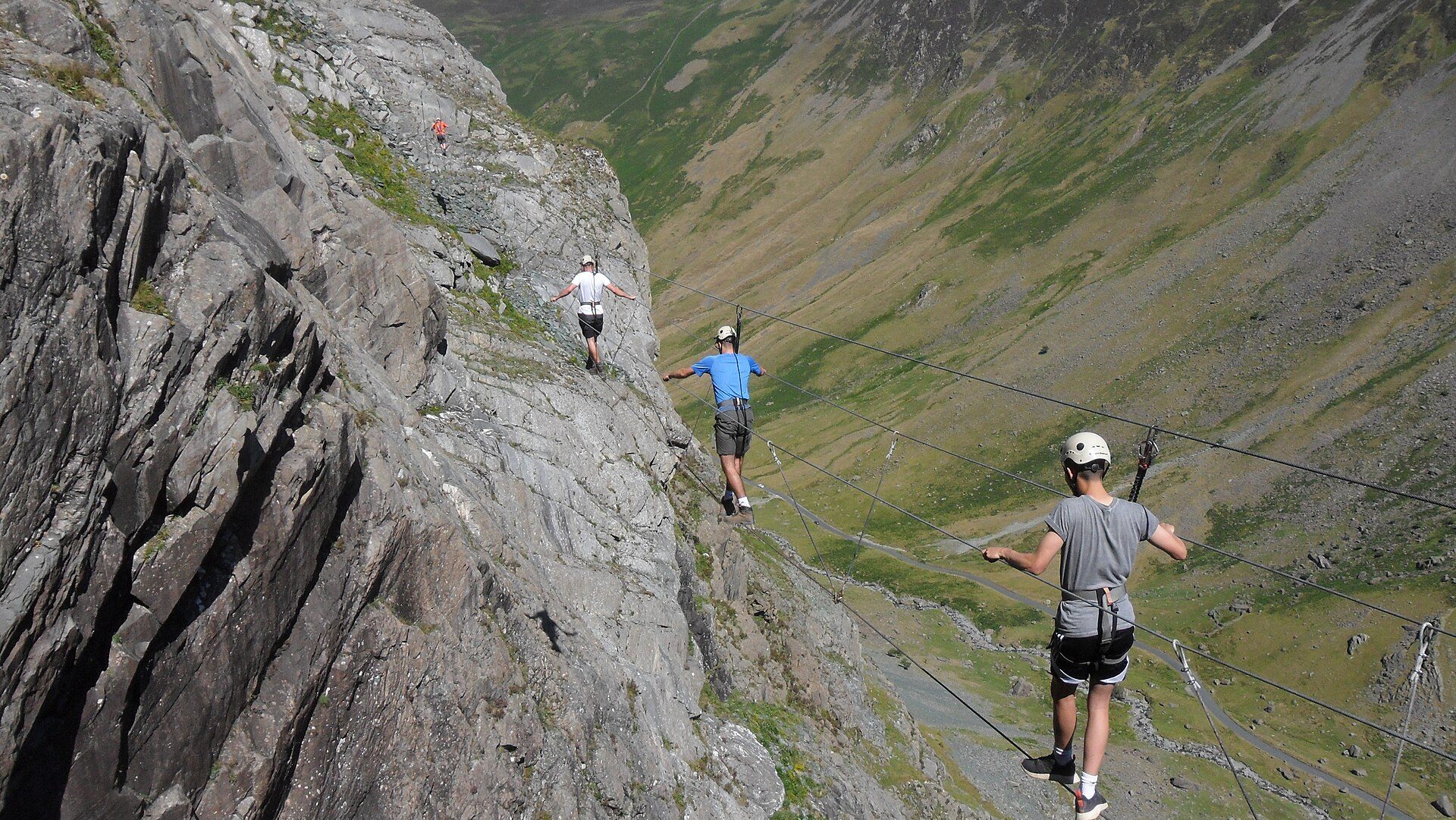
A fixed-cable route up a working slate mine's quarry face at the top of Honister Pass, run by the mine.