The Langdale Pikes from New Dungeon Ghyll
Near Great Langdale, Lake District
- Distance
- 9.1 km
- Ascent
- 869 m
- Time
- 3.3 hr
- Difficulty
- Hard
- Summit
- 736 m
- Shape
- Circular
Start: New Dungeon Ghyll car park, Great Langdale
Grid ref: NY 294063
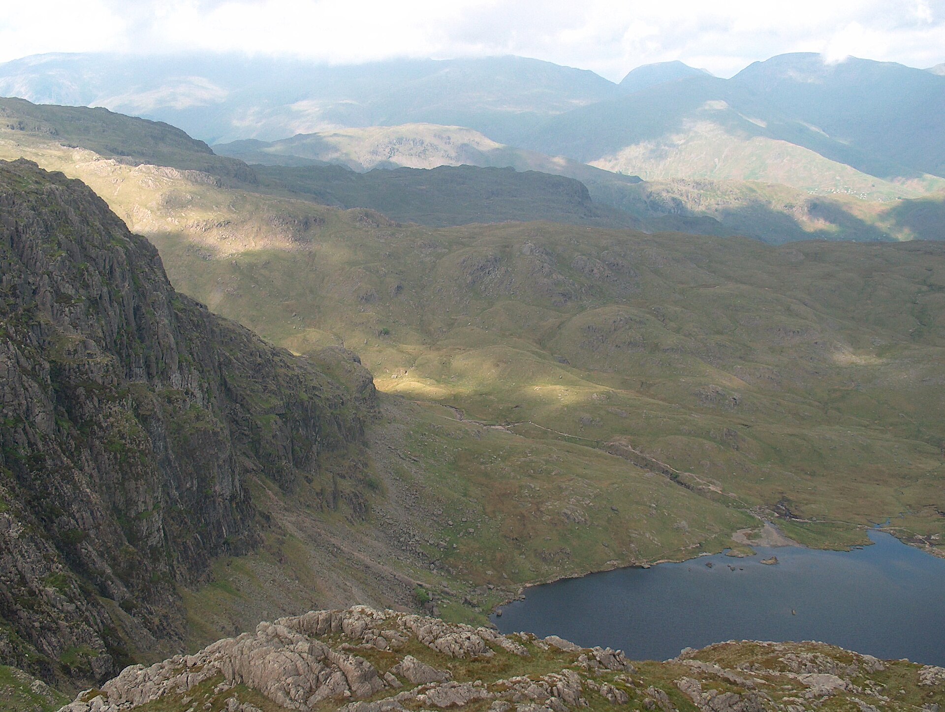
The Langdale Pikes are the serrated skyline that closes the head of Great Langdale, and Harrison Stickle, at 736m, is the highest of the group, its rocky summit ridge topped by a cairn at each end. The Pikes have been quarried for longer than they have been walked: Neolithic axe-makers worked greenstone on the scree below Pike of Stickle, roughing out blades on site before they were traded across Britain, with finished examples turning up as far away as Buckinghamshire and East Anglia. Below the crags, Stickle Tarn is now dammed and used as part of Great Langdale’s public water supply, a working use layered onto a view that draws walkers for its own sake.
The round starts from the New Dungeon Ghyll car park, run by the National Trust alongside the Sticklebarn pub, and climbs beside Stickle Ghyll on a stone-pitched path to Stickle Tarn. From there the route guide walklakes.co.uk directs walkers up the North Rake, Wainwright’s name for the gully on Pavey Ark’s east ridge, which looks worse than it is and gains the plateau without genuine difficulty, before crossing Thunacar Knott and Harrison Combe to Pike of Stickle, Loft Crag, Thorn Crag and Harrison Stickle, then dropping back past the tarn to the start. Walklakes gives the full circuit as 9.1km with 869m of ascent, rating the terrain “hands on rock” but explicitly “no technical difficulties or scrambling,” with a minimum time of 3 hours 16 minutes. New Dungeon Ghyll is a drive from Ambleside, around 7 miles by the A593 and B5343 through Skelwith Bridge.
This suits a walker wanting a ridge day with rock underfoot but no rope, done in half a day rather than a full one. Walklakes flags the ground around Pike of Stickle as “potentially dangerous for a dog,” so it does not suit anyone walking with one. For a shorter, equally distinctive ridge without the drive out of Ambleside, Helm Crag above Grasmere is a fraction of the distance and ascent.
Underfoot
A stone-pitched path and rough boulders beside Stickle Ghyll to Stickle Tarn, then a steep, loose ascent of Pavey Ark's North Rake, cairned throughout and steeper than it looks from below but without technical difficulty. Beyond it, boggy ground crosses to Pike of Stickle and Harrison Stickle, both involving hands-on clambering over short rocky steps rather than scrambling proper.
Stay within reach of the start
Everything here is inside 12 km of The Langdale Pikes from New Dungeon Ghyll.


Distances, ascent and times here are planning figures taken from published sources, not a route description to navigate by. Take a map and check the forecast. We do not publish conditions, because nothing on this page is updated often enough for you to trust it on the day.