Cnicht from Croesor
Near Beddgelert, Eryri
- Distance
- 10.2 km
- Ascent
- 515 m
- Moving time
- 4 hr 30 min
- Difficulty
- Moderate
- Summit
- 689 m
- Shape
- Circular
- Dogs
- Not suitable: scrambling sections unsafe for dogs, Perthi Holiday Cottages says
Start: Croesor village car park
Grid ref: SH 631446
Who this suits, and who it does not
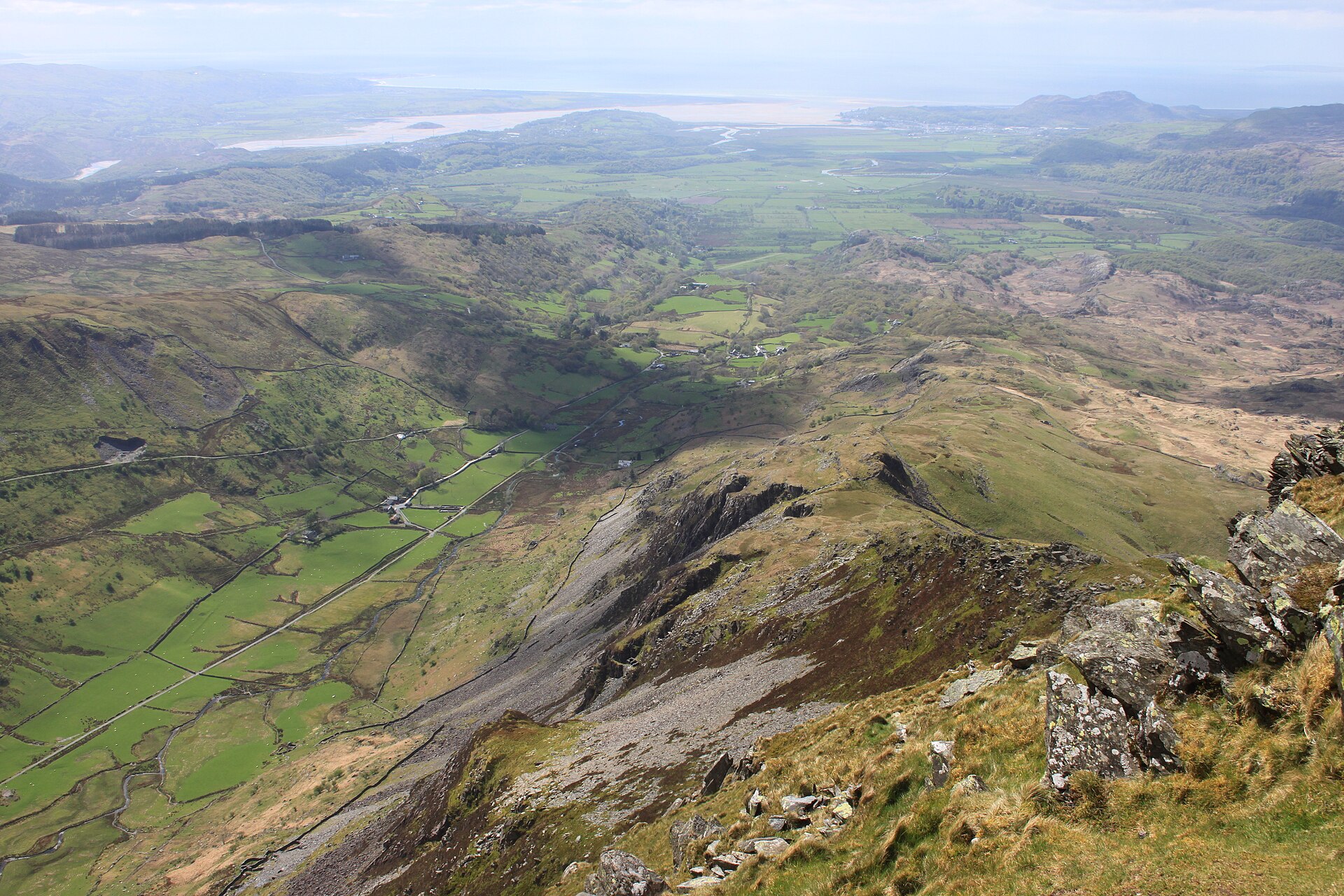
259 places to stay within 14 km, from £317 a week See themCnicht rises above the hamlet of Croesor in the Moelwynion, the range of slate-grey hills south of Yr Wyddfa, and its sharp, pyramidal profile from the south-west has earned it the nickname the Welsh Matterhorn, a comparison Wikipedia notes owes more to the angle of view than to the mountain’s true shape, which is a narrower ridge rather than a symmetrical cone. Walking Britain gives the summit as 689m (2,260ft) and Wikipedia, citing the Database of British and Irish Hills, as 691m, so published lists differ by two metres, the Ordnance Survey map being the reference to check, and either figure is well short of the giants to its north.
Croesor is a drive from Beddgelert, not a walk from the village. The hamlet itself grew up on slate: the Croesor Tramway, built in 1863 and 1864 to link the quarries above the valley to the Cambrian coast, carried slate from Croesor Quarry and Rhosydd Quarry until 1944, and the lower section was rebuilt decades later as part of the restored Welsh Highland Railway, reopening between Croesor Junction and Porthmadog in 2010 and 2011. From the car park the route climbs a lane and then field paths onto Cnicht’s south-west ridge, the gradient easing at first before steepening toward the top, where a couple of short scrambles over rock lead to the summit. The descent drops onto wilder, less distinct ground through Cwm Corsiog, where the path becomes sketchy in places before rejoining the outward route.
The circuit measures 10.2km with 515m of ascent, around four and a half hours, and Walking Britain grades it moderate. It suits a walker who wants a proper mountain shape and a summit scramble without a full day’s commitment, and who is comfortable finding a way across pathless ground on the descent. A flat, waymarked outing, or a first hillwalk without scrambling experience, is the wrong choice here; for riverside walking from Beddgelert itself, the Aberglaslyn Pass is 5km there and back with no summit to climb.
Underfoot
A lane and field path climbing gently at first, steepening onto the south-west ridge with a couple of short scrambles below the summit; the descent crosses wilder, sketchier ground through Cwm Corsiog.
Stay within reach of the start
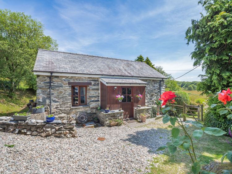
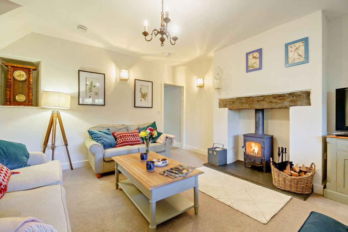
Maentwrog, near Blaenau Ffestiniog, North Wales
Brig-Y-Bwlch
Sleeps 4 · 2 beds
5.4km from the start of this walk
- Wood burner
- Dogs
from £520 / week
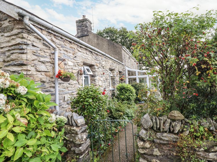
Nantmor near Beddgelert
Cwm Caeth Cottage
Sleeps 2 · 1 bed
3.3km from the start of this walk
- No dogs
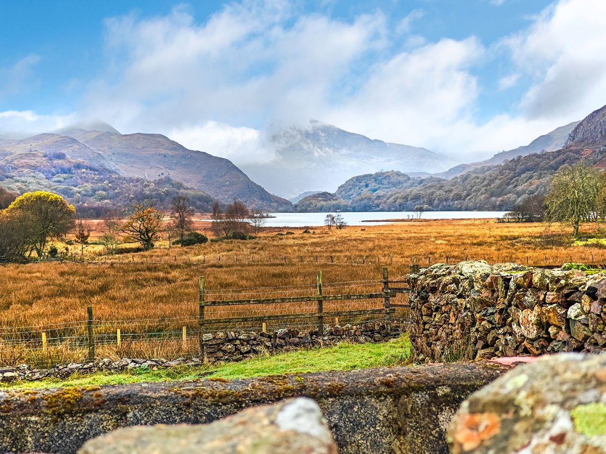
Nant Gwynant, near Beddgelert, North Wales
Llyndy Isaf
Sleeps 6 · 4 beds
5.5km from the start of this walk
- Wood burner
- Dogs
from £765 / week
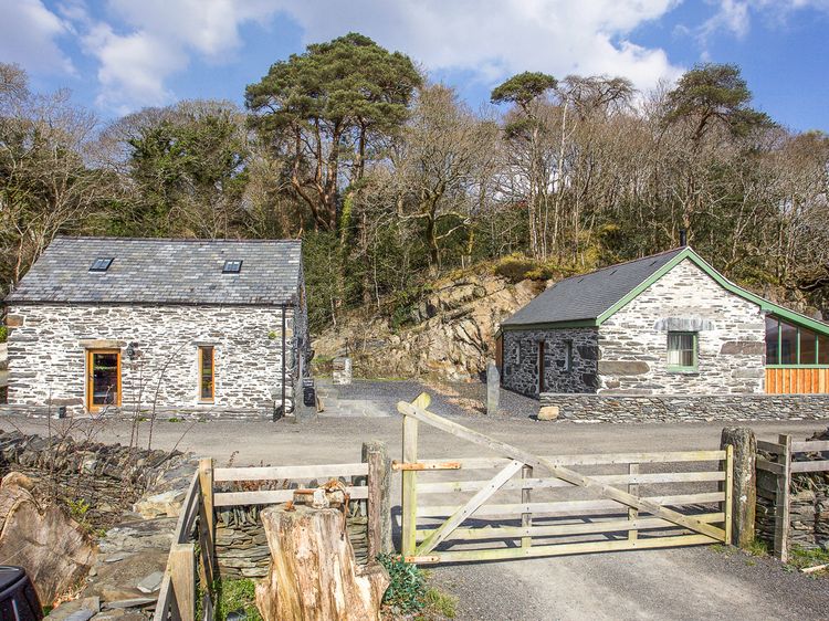
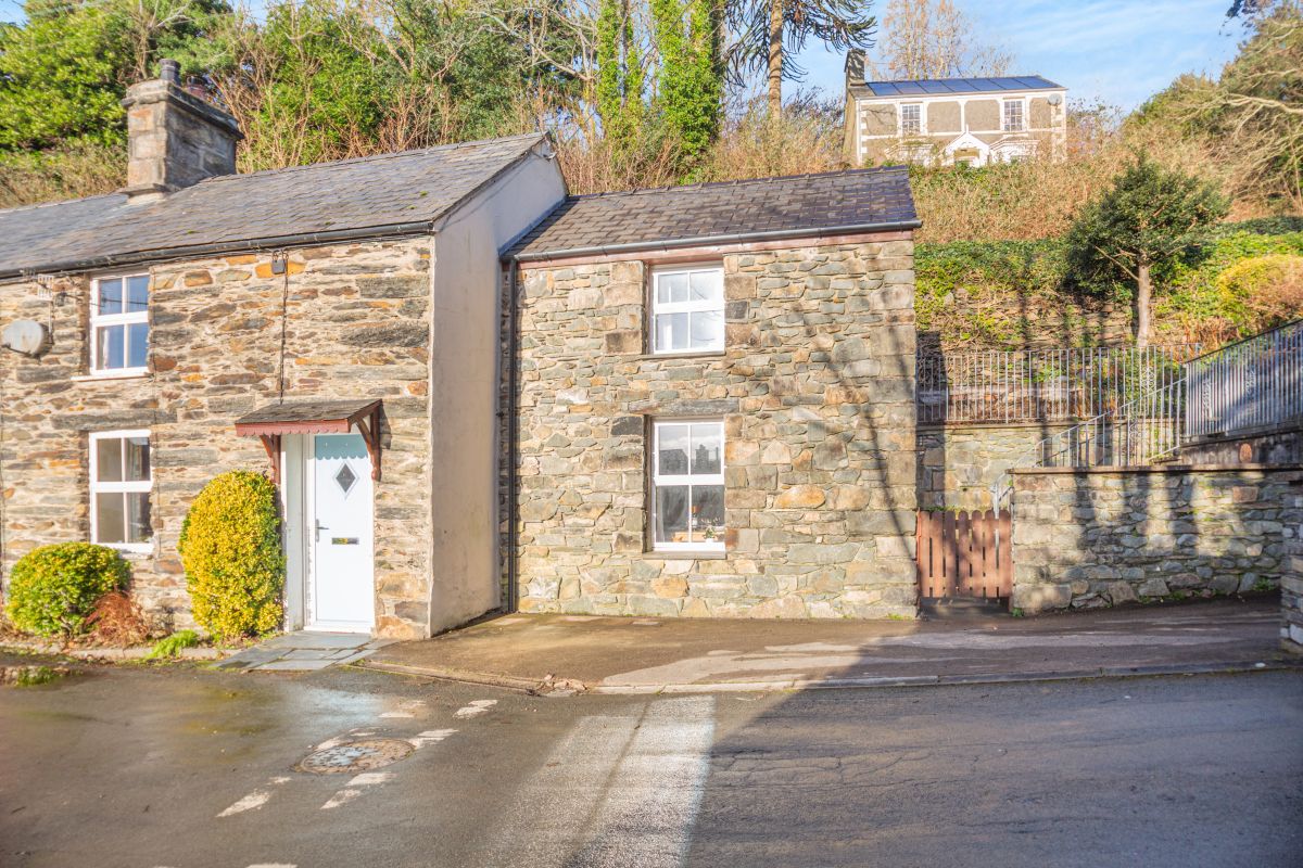
Penrhyndeudraeth, near Porthmadog, North Wales
2 Efail Wen
Sleeps 4 · 2 beds
5.6km from the start of this walk
- Wood burner
- No dogs
from £549 / week
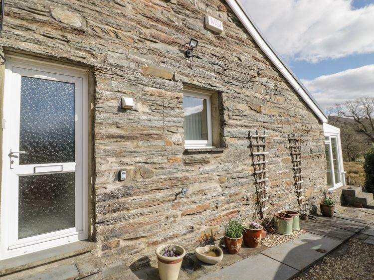
Maentwrog near Penrhyndeudraeth
The Old Smithy Cottage
Sleeps 2 · 1 bed
4.7km from the start of this walk
- No dogs
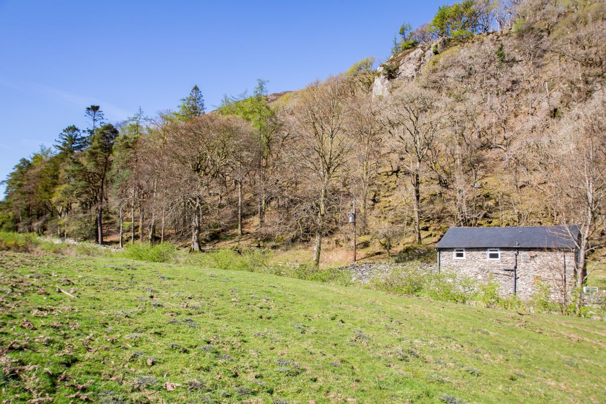
Nant Gwynant, near Beddgelert, North Wales
Moel Hebog Barn
Sleeps 6 · 3 beds
5.7km from the start of this walk
- Dogs
from £733 / week
Distances, ascent and times here are planning figures taken from published sources, not a route description to navigate by. Take a map and check the forecast.