Low Fell and Fellbarrow from Loweswater
Near Cockermouth, Lake District
- Distance
- 9.8 km
- Ascent
- 545 m
- Time
- 4 hr 30 min
- Difficulty
- Moderate
- Summit
- 423 m
- Shape
- Circular
- Parking
- Limited
Start: Crabtreebeck, beside Loweswater, with a larger car park at the north end of the lake
Grid ref: NY 128217
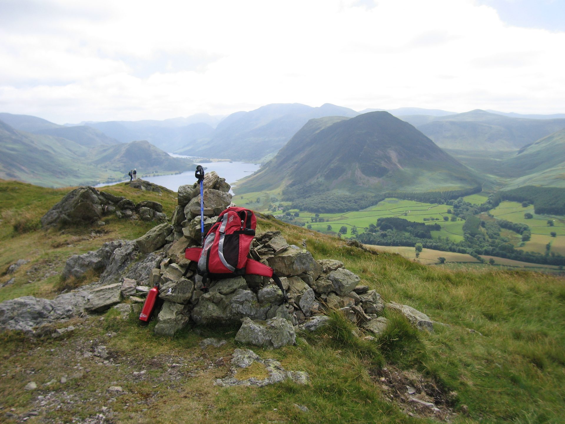
Low Fell is a rounded ridge above the north-eastern shore of Loweswater, on the north-western edge of the fells and well below its neighbours around Buttermere. Ordnance Survey mapping puts it at 423m, and Wikipedia records that Alfred Wainwright, who described it in the 1966 Western Fells volume of his Pictorial Guide, had guessed that its neighbour Fellbarrow, at 416m, was the higher of the two. What the fell lacks in height it makes up for in position: from its crags the ground falls away to Crummock Water, with Grasmoor and the Buttermere skyline filling the horizon.
The circuit from Loweswater runs to 9.8km with 545m of ascent, which Walking Britain grades easy to moderate. It climbs Darling Fell above the lake, crosses Crabtree Beck on a plank, and reaches the cairn on Low Fell, then crosses Sourfoot and Smithy Fells to Fellbarrow before dropping to Mosser Lane. Walking Britain singles out a second cairn on a small crag south-east of the summit as one of the great panoramas of Lakeland, a better viewpoint than the summit. Parking is the practical limit: Walking Britain lists room for two cars near Crabtreebeck Farm and a larger area at the north end of the lake. The Lake District National Park gives the B5292 from Cockermouth and the B5289 through Low Lorton as the road to Loweswater, and the start is about 9km from the town in a straight line.
The paths are grass, often beside fences, and Walking Britain warns that the one near the start does not follow the line printed on the OS map. WalkLakes grades the shorter Thackthwaite approach to the same ridge as easy but boggy, and says it calls for map and compass skills.
It suits walkers who want two Wainwright summits and a lake view in a morning or an afternoon without a day on the high fells. Skip it if you want a level path or a guaranteed dry foot, because the boggy, faint ground between the tops is poor going in low cloud. For a flat circuit with the same Lakeland lake scenery, Buttermere Lake Circuit has no climbing at all. The base for this walk is Cockermouth.
Underfoot
Grassy fell paths, often following fences, over Darling Fell, Low Fell, Sourfoot Fell and Fellbarrow, with a plank across Crabtree Beck and some boggy ground; the path does not follow the line shown on the OS map near the start.
Stay within reach of the start
Everything here is inside 12 km of Low Fell and Fellbarrow from Loweswater.
Booking links on these earn us a commission. The price you pay is the same either way.
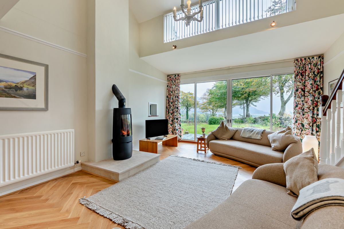
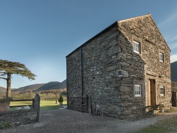
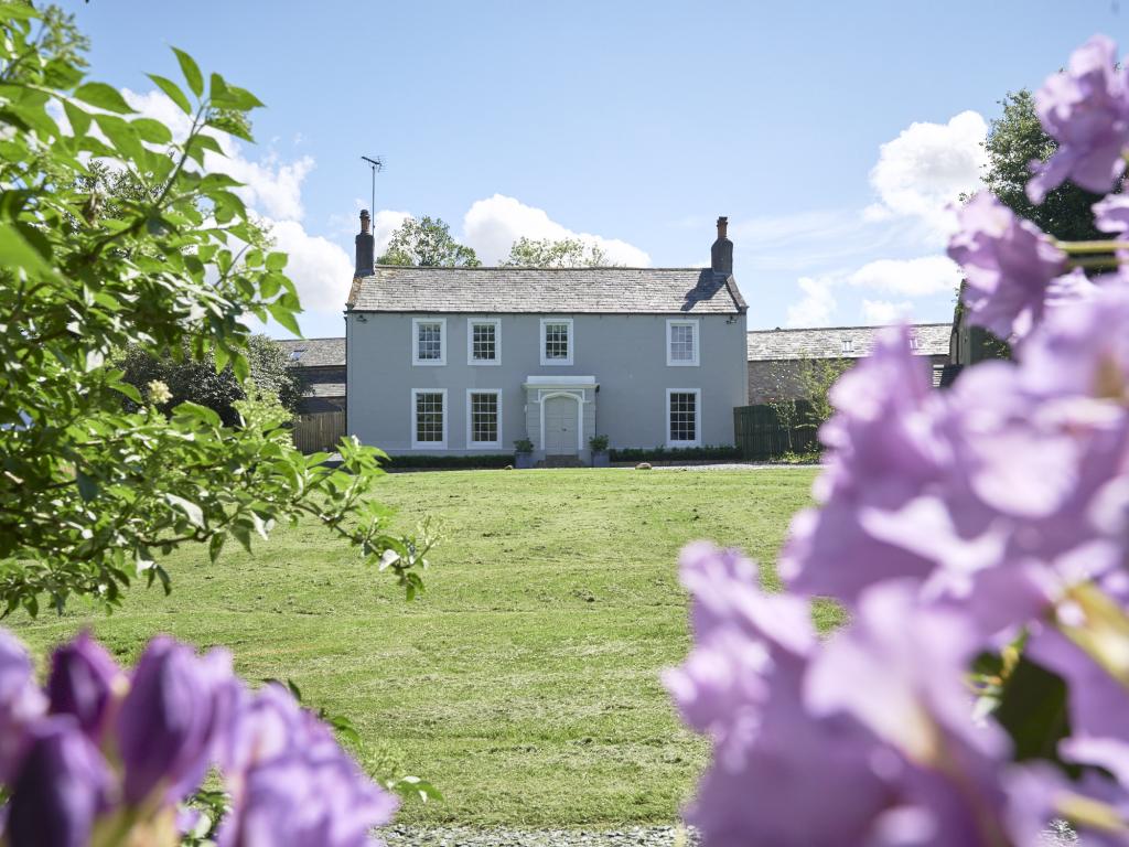
Loweswater, near Cockermouth, Cumbria
Rosewell House
Sleeps 10 · 5 beds
- Wood burner
- Dogs
from £1,960 / week
Check dates for Rosewell House (opens the booking site in a new tab)Checked 5 Oct
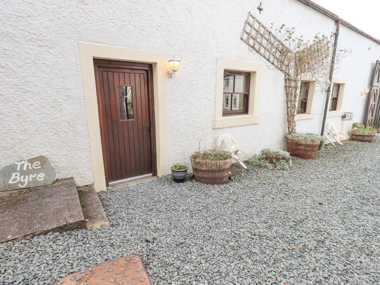
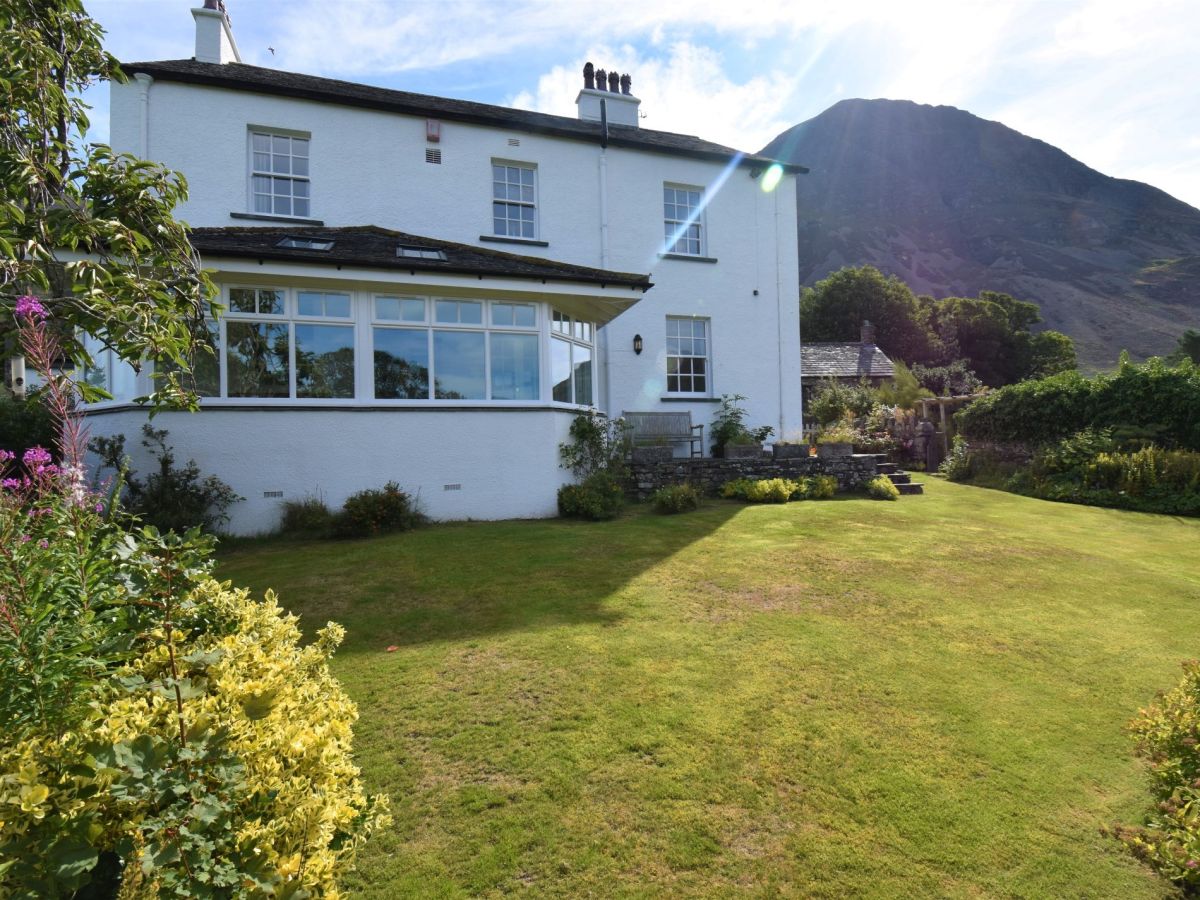
Buttermere, near Cockermouth, Cumbria
Lanthwaite Green New Farmhouse
Sleeps 8 · 4 beds
- No dogs
from £1,000 / week
Check dates for Lanthwaite Green New Farmhouse (opens the booking site in a new tab)Checked 5 Oct
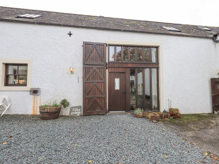
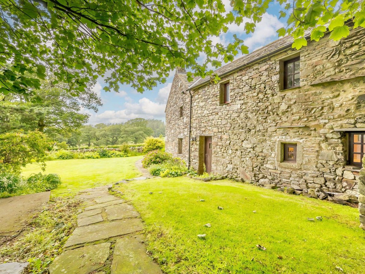
Buttermere, near Cockermouth, Cumbria
Lanthwaite Green Old Farmhouse
Sleeps 6 · 3 beds
- Wood burner
- No dogs
from £772 / week
Check dates for Lanthwaite Green Old Farmhouse (opens the booking site in a new tab)Checked 5 Oct
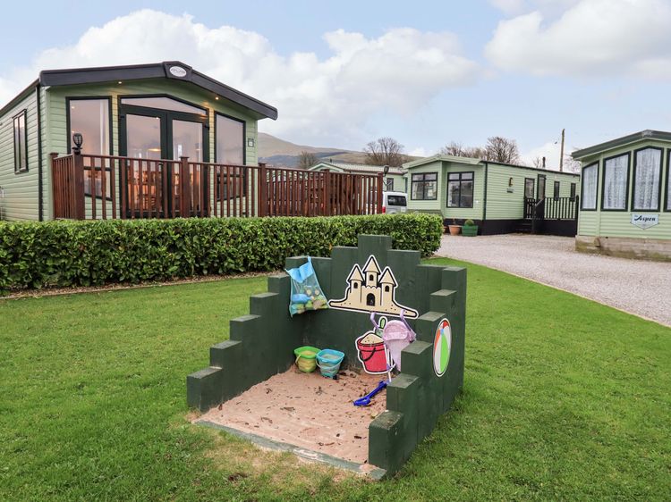
Lamplugh near Cleator Moor
Highlands Way Lodge
Sleeps 4 · 2 beds
- Dogs
from £399 / week
Check dates for Highlands Way Lodge (opens the booking site in a new tab)Checked 8 Oct
Distances, ascent and times here are planning figures taken from published sources, not a route description to navigate by. Take a map and check the forecast. We do not publish conditions, because nothing on this page is updated often enough for you to trust it on the day.