Buttermere Lake Circuit
Near Buttermere, Lake District
- Distance
- 7.2 km
- Ascent
- 30 m
- Moving time
- 2 hr 10 min
- Difficulty
- Easy
- Shape
- Circular
- Parking
- Paid
- Dogs
- Yes: on a lead near livestock, the National Park asks
Start: National Trust car park, Buttermere village
Grid ref: NY 172172
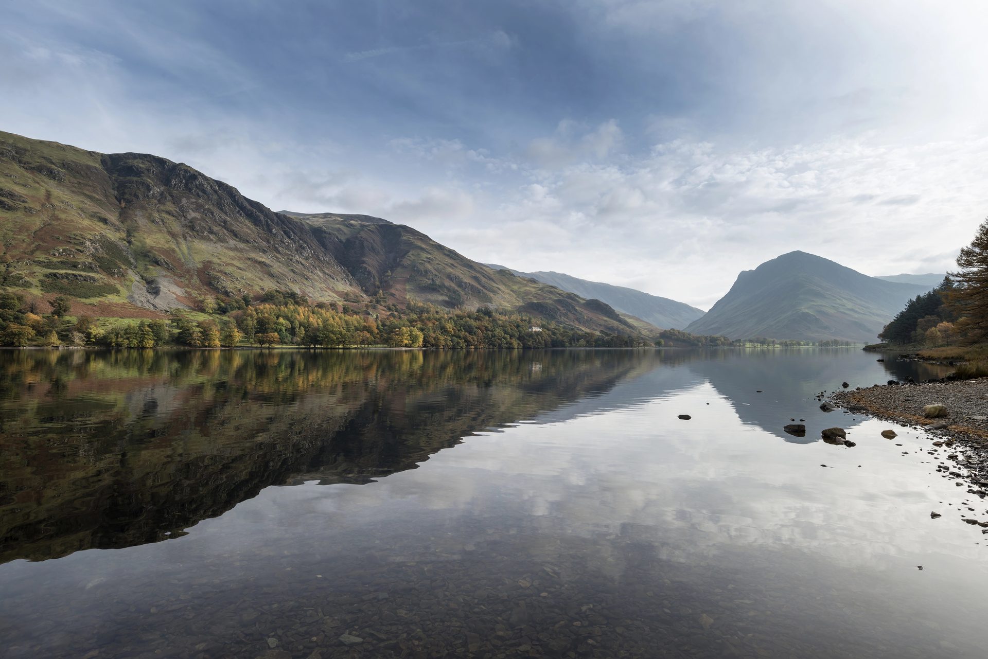
The path around Buttermere is one of the flattest complete lake circuits in the district, a loop of around 7.2km with about 30m of ascent in all, close to the shore for almost its entire length. It suits anyone who wants a walk without a climb: families with young children, or a rest day between harder fell days elsewhere in the valley.
From the National Trust car park on the outskirts of the village, the route can be picked up directly and followed in either direction. The single distinctive feature is a short rock tunnel at Hassness on the eastern shore, which WalkLakes describes as a narrow pedestrian tunnel hewn through the rock. Views open out across the water to Fleetwith Pike and the ridge above Warnscale for most of the loop, and Haystacks and High Stile fill the skyline.
Underfoot the going is easy but not always dry: the path crosses several becks feeding into the lake, and low-lying sections can be muddy after rain even when the fell tops above are clear. There is no climbing to speak of, no scrambling, and no exposure, which suits a mixed-ability group.
The shore is not for anyone in search of solitude in high season. The combination of a short, flat loop and a car park right at the start crowds it. Haystacks rises straight off the same valley for anyone who would rather earn the view, at 671m of ascent instead of 30m.
Underfoot
A level path follows the lakeshore for the full loop, crossing several becks and passing through a short tunnel cut through rock beneath Hassness on the eastern shore.
Stay within reach of the start
Booking through these links earns a commission. The price is the same.
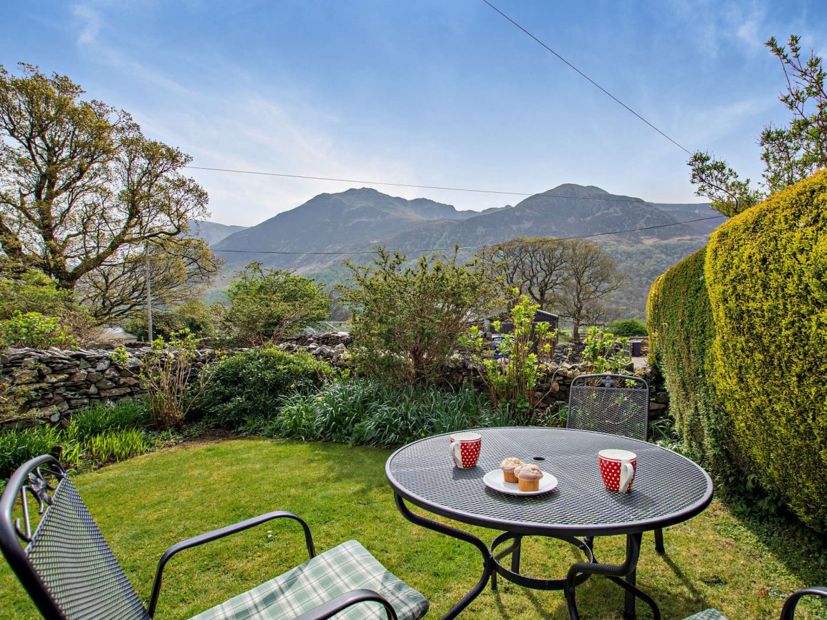
Buttermere, near Cockermouth, Cumbria
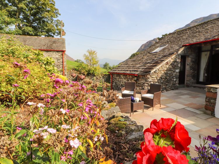
Middle Cragg Cottage
Sleeps 2 · 2 beds
- Wood burner
- Dogs
from £669 / week
Check dates for Middle Cragg Cottage (opens the booking site in a new tab)Checked 5 Oct
Buttermere, near Cockermouth, Cumbria
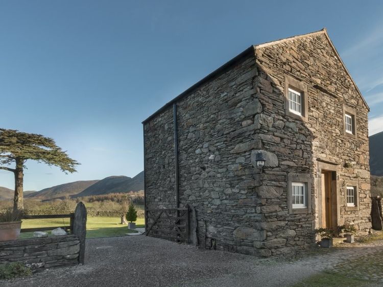
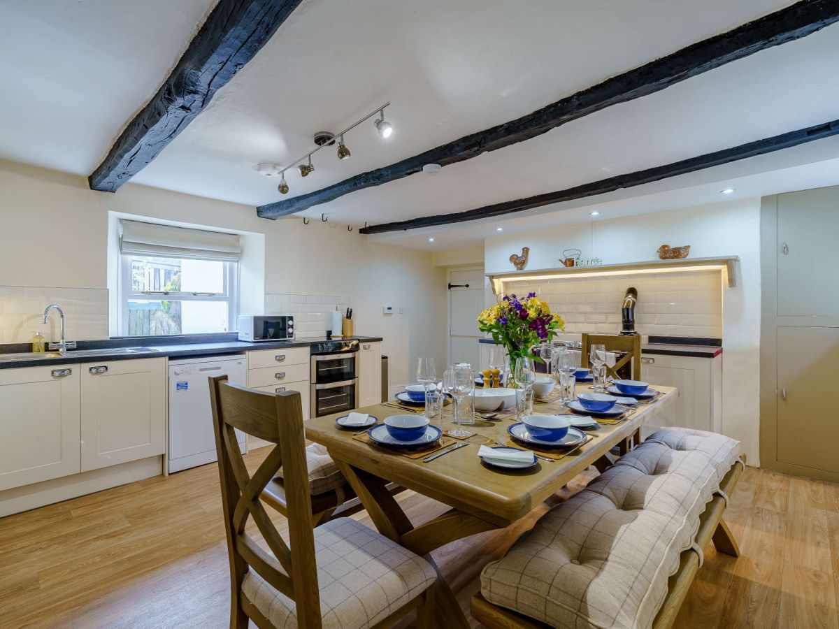
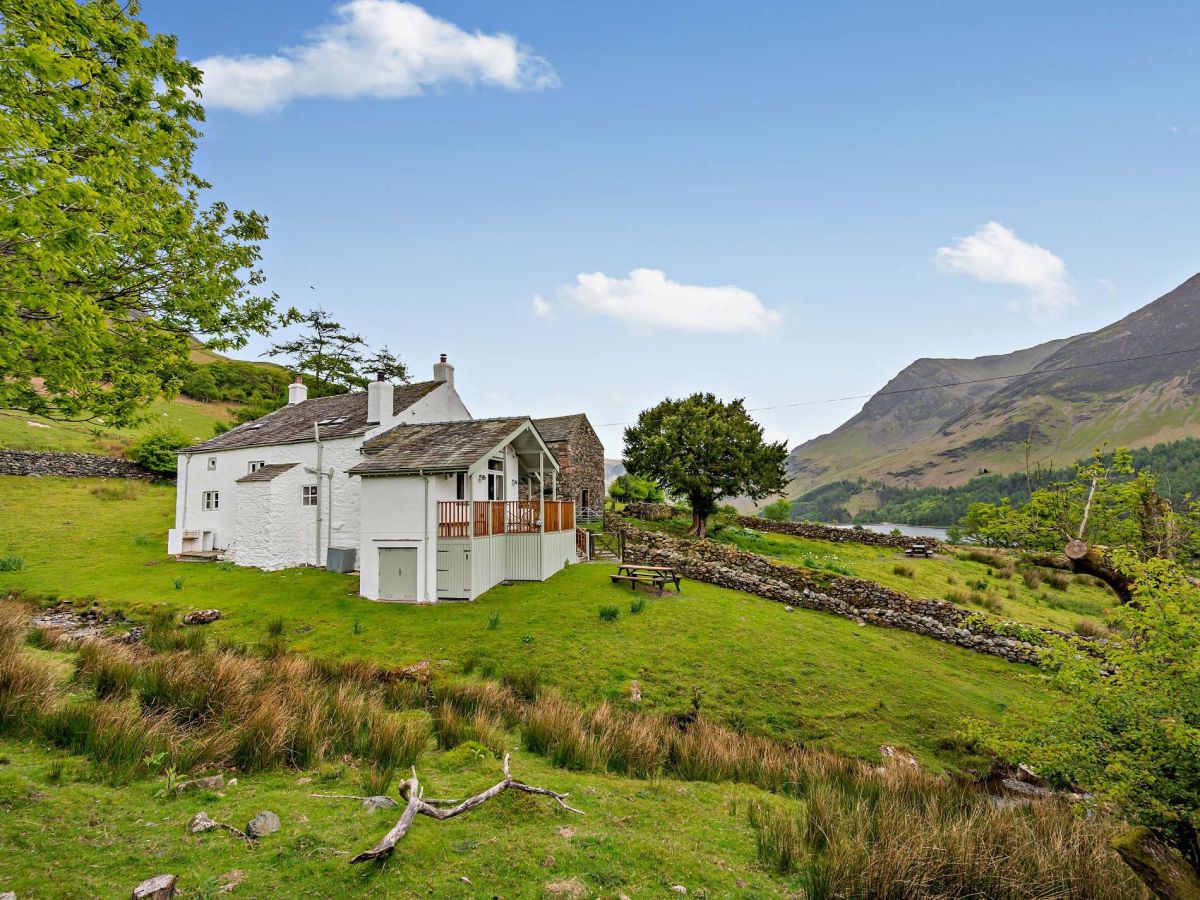
Croft House Farm - Buttermere
Sleeps 6 · 3 beds
- No dogs
from £952 / week
Check dates for Croft House Farm - Buttermere (opens the booking site in a new tab)Checked 5 Oct

Buttermere, near Cockermouth, Cumbria
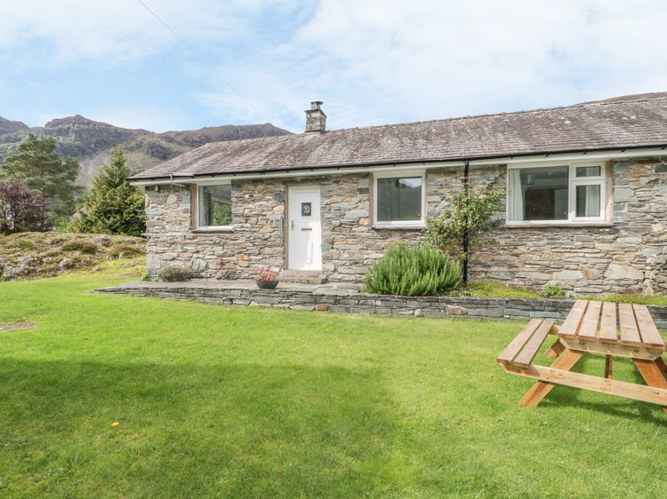
Wilkinsyke Farm Cottage
Sleeps 2 · 1 bed
- Wood burner
- No dogs
from £602 / week
Check dates for Wilkinsyke Farm Cottage (opens the booking site in a new tab)Checked 5 Oct
Distances, ascent and times here are planning figures taken from published sources, not a route description to navigate by. Take a map and check the forecast.