Stac Pollaidh
15 km from Ullapool, Scotland
- Distance
- 4.5 km
- Ascent
- 510 m
- Time
- 2 hr 30 min
- Difficulty
- Hard
- Summit
- 612 m
- Shape
- Circular
- Parking
- Paid
- Dogs
- Not suitable: steep drops on the ridge, 10Adventures advises against it
Start: Stac Pollaidh car park, Loch Lurgainn
Grid ref: NC 107095
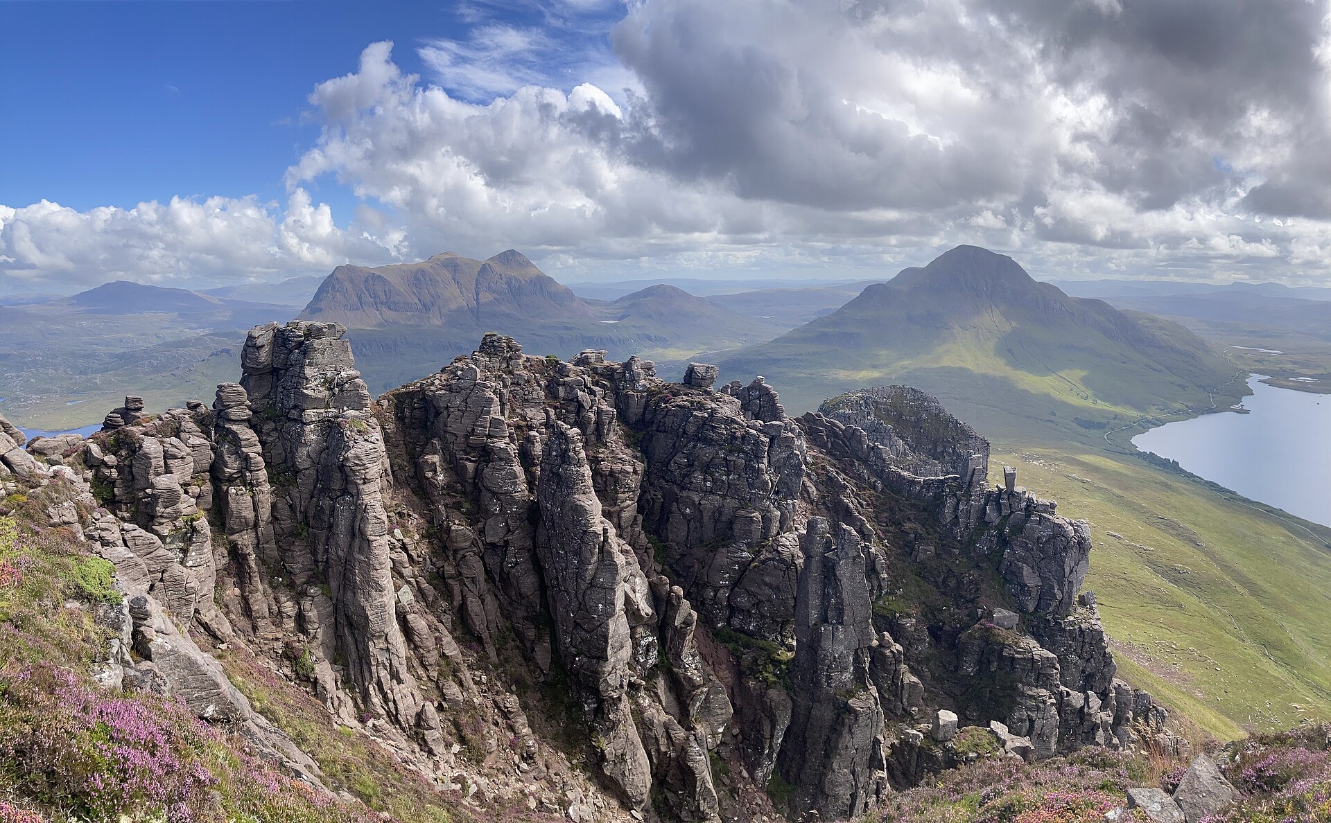
Stac Pollaidh rises alone above Loch Lurgainn in Coigach, a serrated ridge of sandstone pinnacles. At only 612m it is well short of the Munros further east, yet Walkhighlands describes the views from the ridge as extensive, with the Summer Isles to the south-west and Suilven across Assynt to the north, and a round of 4.5km reaches them.
From the car park at Loch Lurgainn, a steep path climbs round the back of the hill, the line Walkhighlands describes as chosen to manage erosion after the old path straight up the front damaged the slope; Wikipedia credits the path to Scottish Natural Heritage, now NatureScot. It splits after a couple of hundred metres into two options that rejoin higher up. The going is steep and, in the upper section, loose underfoot. The eastern top needs only a short, easy scramble, by Walkhighlands’ account, and gives most of the view for relatively little risk; the true summit, further along the ridge, needs scrambling over exposed rock and pinnacles, and is a serious step up rather than a natural extension of the walk to the east top.
Most walkers treat the two tops as two different outings and stop at the eastern one, which is itself a fine objective with wide views over Coigach, Assynt and the sea lochs to the west. The full circuit back to the car park, taking in both paths, covers 4.5km by Walkhighlands’ reckoning, so this is a half-day walk at most, but a strenuous one: short distance and serious ascent make it feel harder underfoot than the numbers alone suggest. The hill suits a walker who wants a Highland summit view inside half a day and is content to stop at the east top. It does not suit anyone unsteady on loose ground, and the true summit is out of the question without scrambling experience, since Walkhighlands ranks it with the Cobbler as the most difficult mainland summit in Britain. For a viewpoint with no scrambling at all, Corrieshalloch Gorge is further south on the A835.
Underfoot
Steep path beneath sandstone pinnacles; the ridge itself needs scrambling over exposed rock to reach the true summit.
Stay within reach of the start
Booking through these links earns a commission. The price is the same.
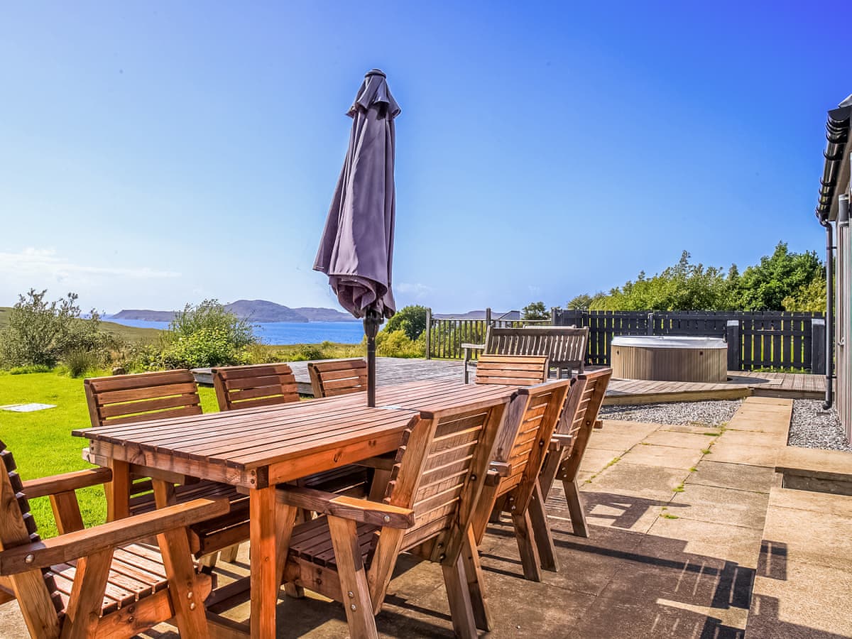
Achiltibuie near Ullapool
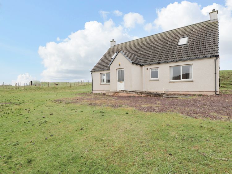
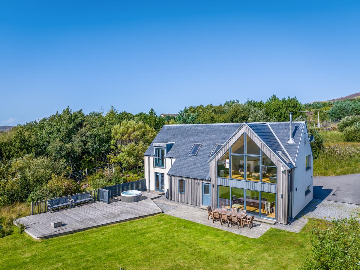
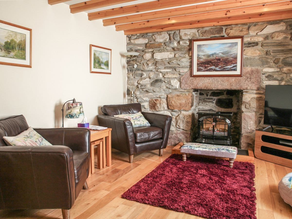
Stac Polly Lodge
Sleeps 8 · 4 beds
- Hot tub
- Dogs
from £2,470 / week
Check dates for Stac Polly Lodge (opens the booking site in a new tab)Checked 24 Oct
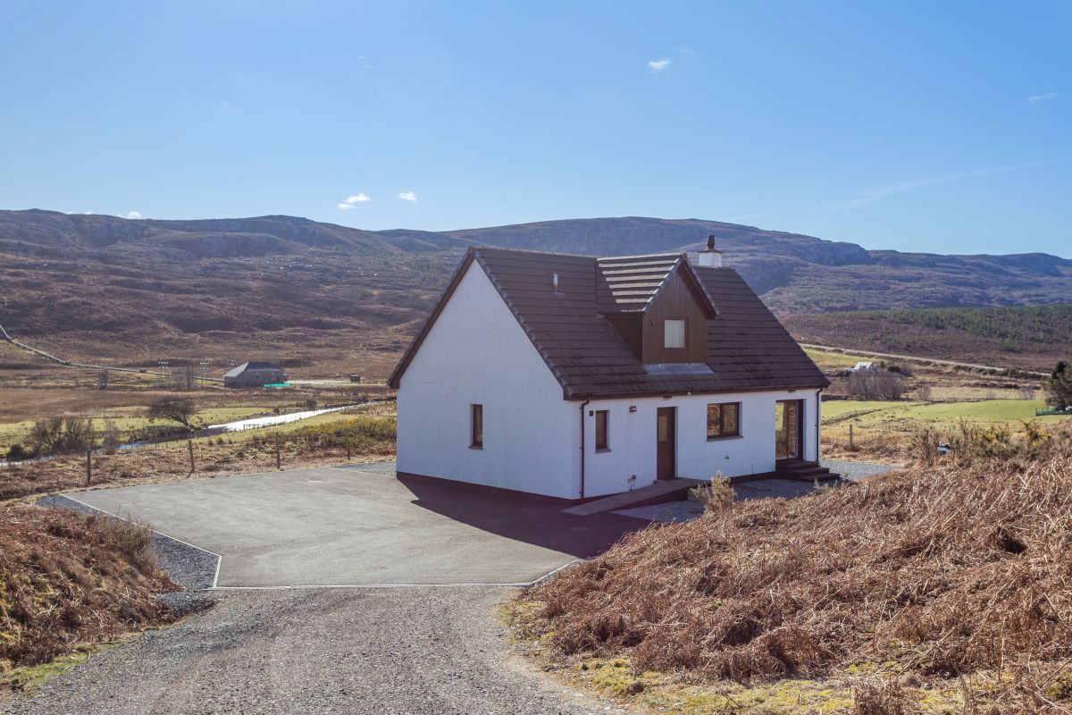
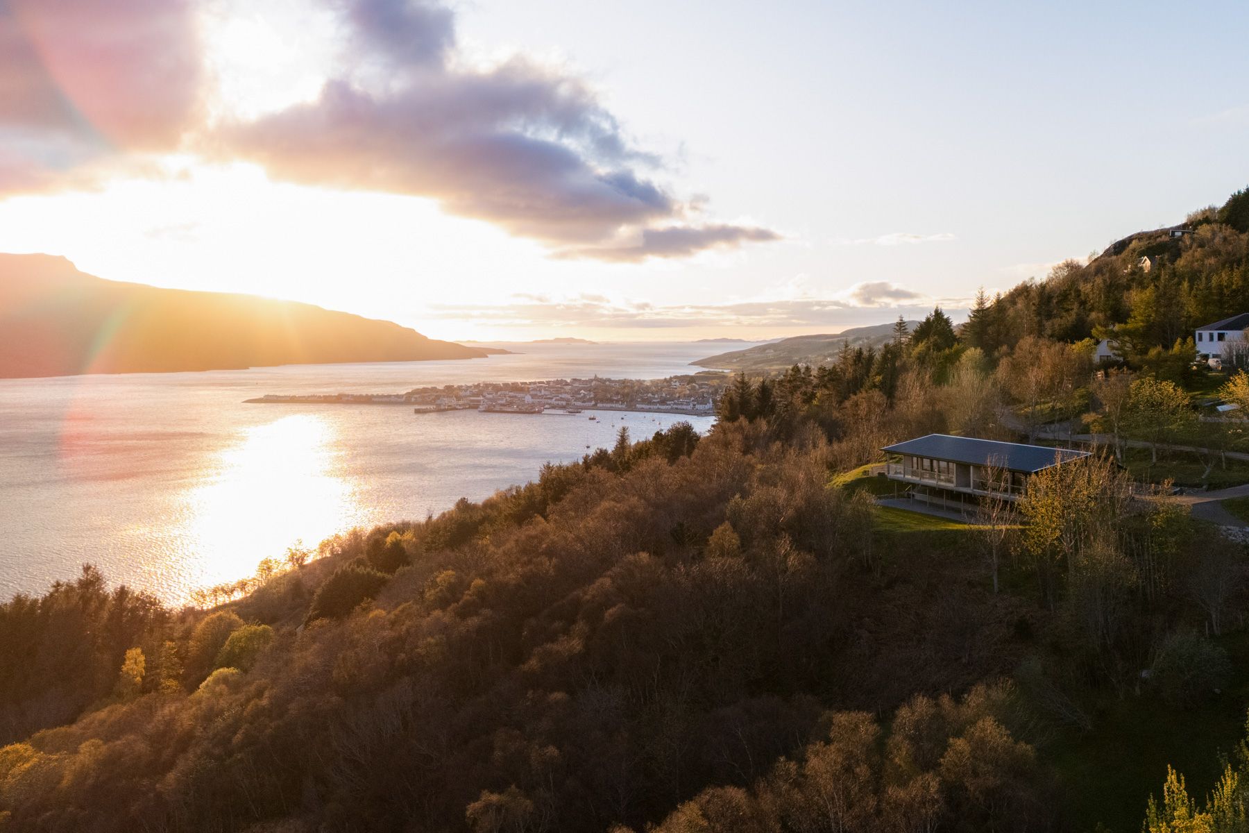
Achiltibuie near Ullapool
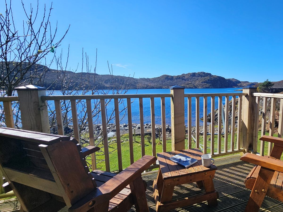
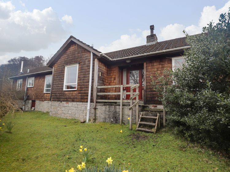
Locholly Lodge
Sleeps 8 · 4 beds
- Hot tub
- Dogs
from £2,470 / week
Check dates for Locholly Lodge (opens the booking site in a new tab)Checked 24 Oct
Distances, ascent and times here are planning figures taken from published sources, not a route description to navigate by. Take a map and check the forecast.