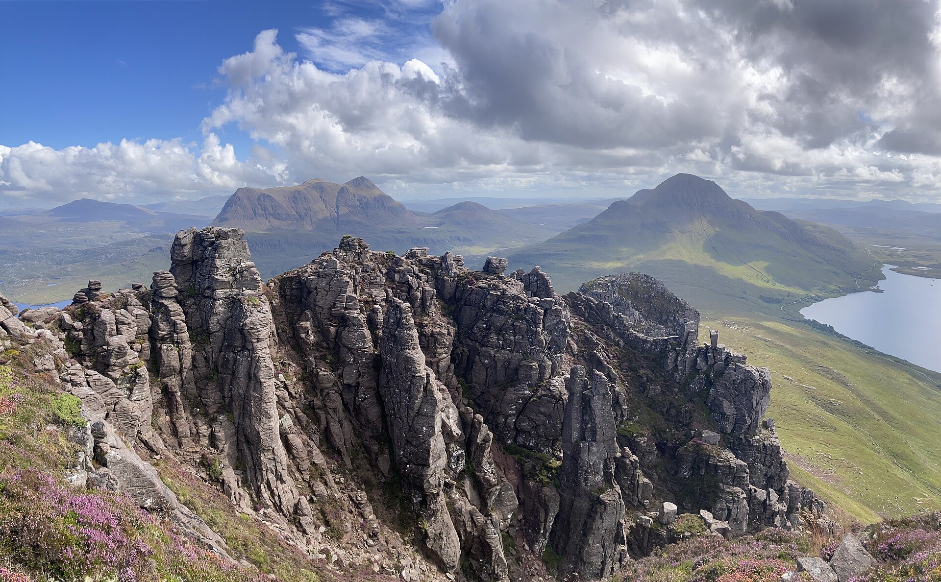
Stac Pollaidh
A short, steep sandstone hill with a serrated ridge of pinnacles above Loch Lurgainn in Coigach.
- 4.5 km
- 510 m up
- 2 hr 30 min
- Hard
Gaelic: Ulapul
The North-West Highlands' one town of any size, ferry port for Lewis.
1 m
Garve
On the A835 towards Inverness; there is no station in Ullapool.
5
38
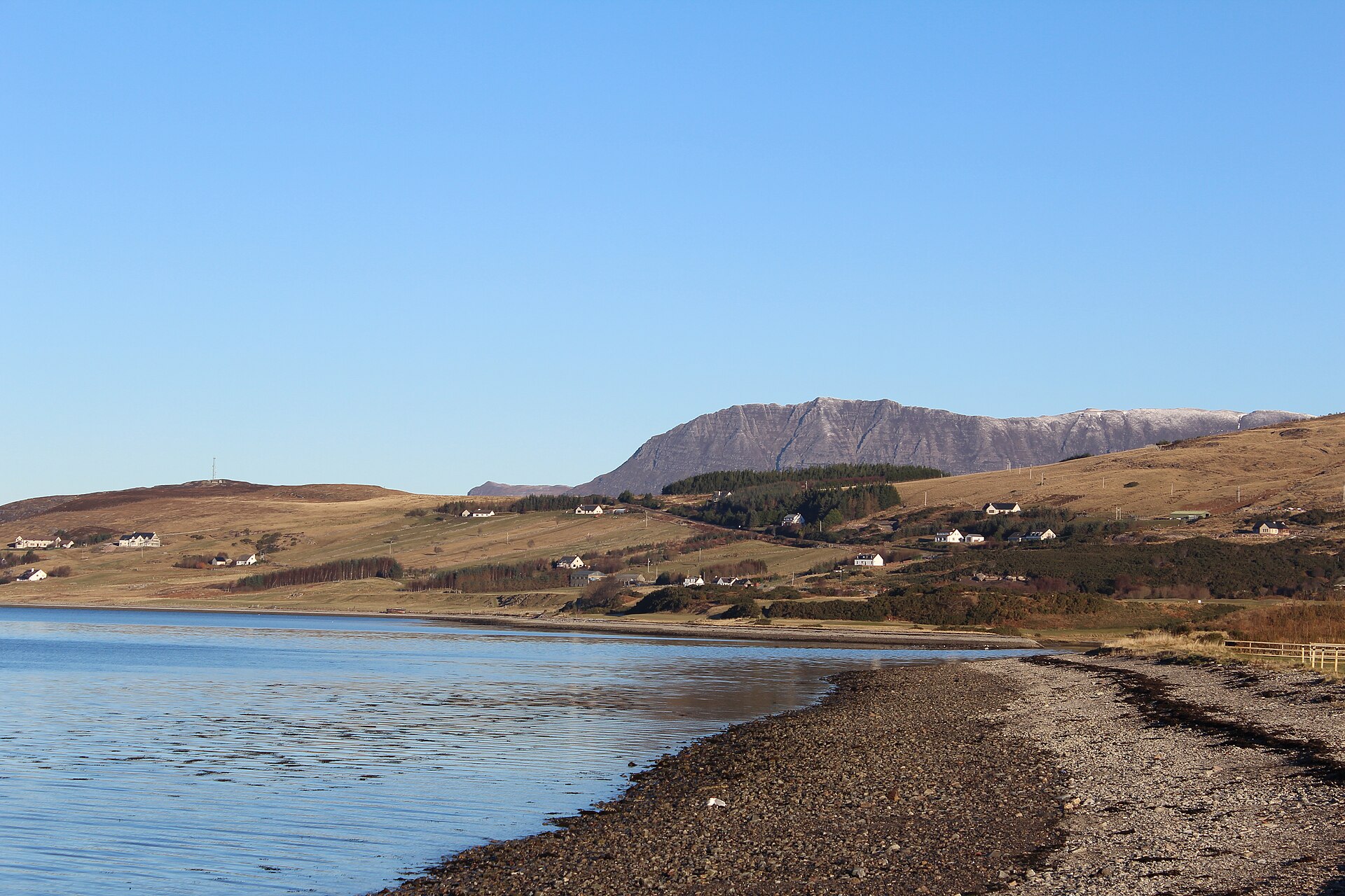
Ullapool is a fishing and ferry town on the shore of Loch Broom, about 45 miles north-west of Inverness, and by some distance the largest settlement in the North-West Highlands, though its population is only around 1,500. It was built in 1788 as a planned herring station by the British Fisheries Society, laid out on a grid that still shapes the town today, and it remains a working harbour as well as the ferry port for Stornoway on the Isle of Lewis.
The North-West Highlands around Ullapool, Assynt and Coigach to the north, and the hills around Loch Broom, are built differently from the hills further south and east: isolated sandstone peaks rising alone from moorland and lochans, rather than connected ridgelines. Two of them, An Teallach and Suilven, at 731m, are full mountain days, and Ullapool is the natural base for the first and a long drive from the second. Ullapool is the only town of any size for a long way in any direction, which makes it the natural base for exploring this area, and its ferry adds a day trip, or a longer one, to the Outer Hebrides.
Nothing of note is walkable directly from Ullapool itself beyond the town’s own harbourside and a stretch of the Ullapool river; the area’s best-known features, Stac Pollaidh and Corrieshalloch Gorge, both need a car, roughly 25 to 30 minutes’ drive in different directions.
The two big hills start from other roads. Walkhighlands starts the An Teallach traverse in a layby on the A832 by the Dundonnell Hotel and ends it at Corrie Hallie, 20km and 1,415m of ascent later in nine to ten hours, so it is a day for a car at each end rather than three kilometres of road walking back. Suilven begins at the end of the public road beyond Lochinver, which the Gazetteer for Scotland places about 30 miles north-west of Ullapool, so it is a long drive out and back for a hill that Walkhighlands puts at 20km and 947m of ascent; anyone planning Suilven should read Lochinver first and sleep there instead.
Ullapool has never had a railway; the nearest station is at Garve, on the Inverness to Kyle of Lochalsh line. A Citylink coach connects the town to Inverness. CalMac ferries to Stornoway run all year; check sailing times with the operator.
Car parks and on-street parking serve the harbour and village centre; both Stac Pollaidh and Corrieshalloch Gorge have their own dedicated car parks.
The A835 connects Ullapool to Inverness and, heading north, forms part of the North Coast 500 route through the far North-West Highlands.
A short, steep sandstone hill with a serrated ridge of pinnacles above Loch Lurgainn in Coigach.
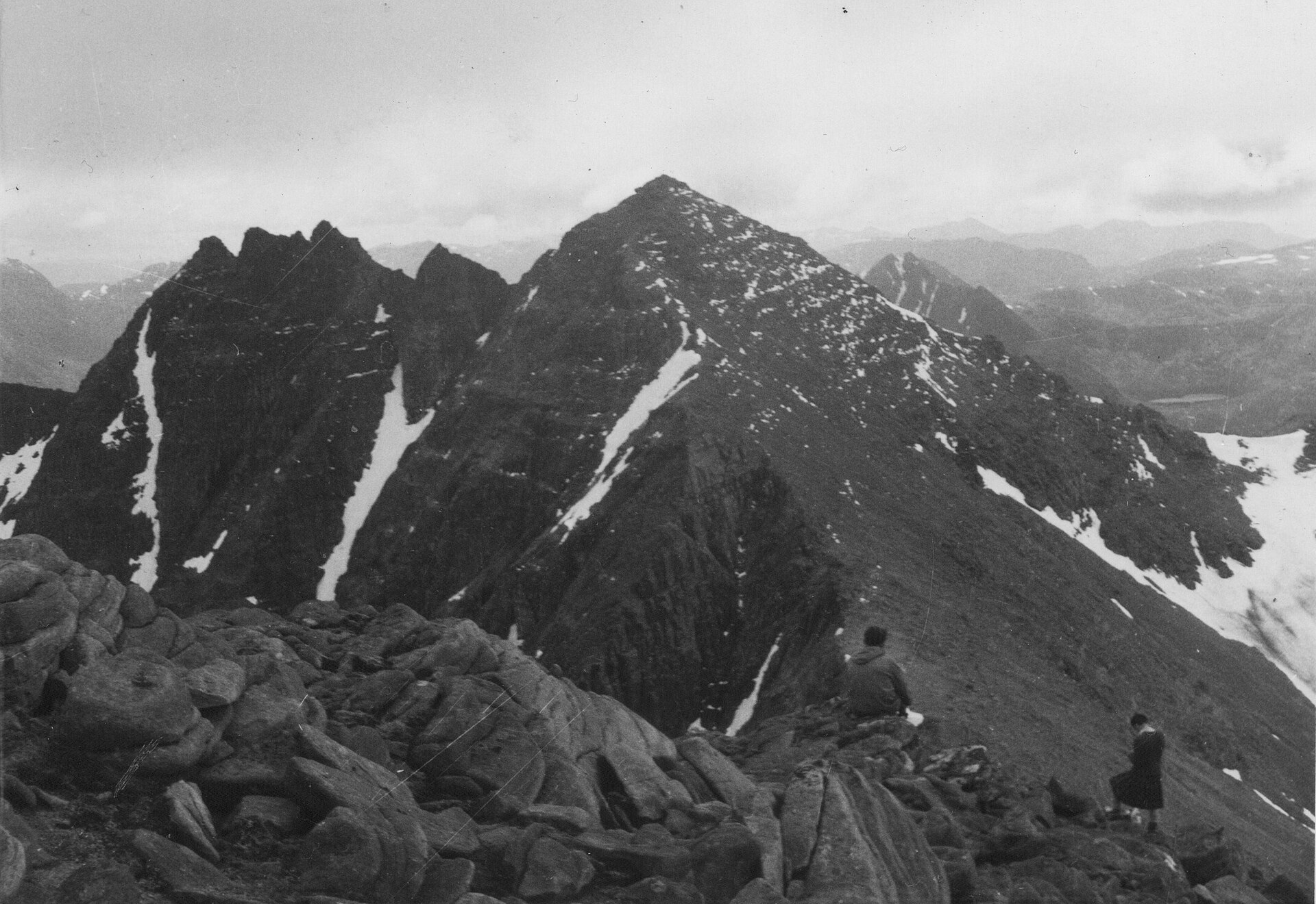
A sandstone ridge of nine tops above Dundonnell, its two Munros reached on a bypass path that avoids the pinnacles' Grade 3 scramble.
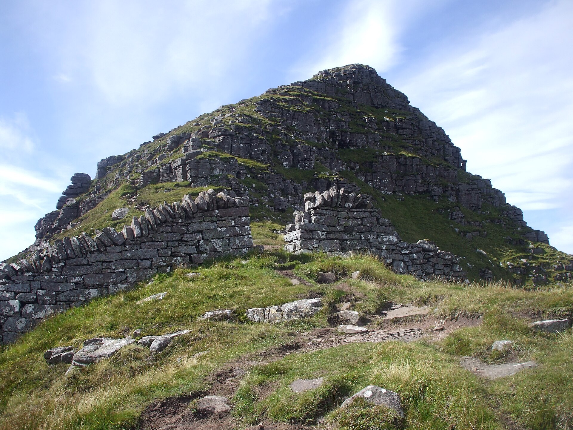
A sandstone tower above Assynt's loch-scattered moor, climbed on a long there-and-back path from Glencanisp on land the Assynt community bought in 2005.
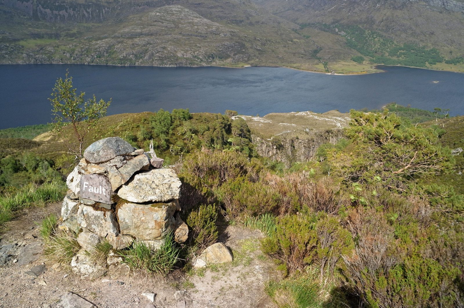
A waymarked path from the pinewoods of Loch Maree onto a bare quartzite plateau, run by NatureScot and billed as Britain's only waymarked mountain walk.
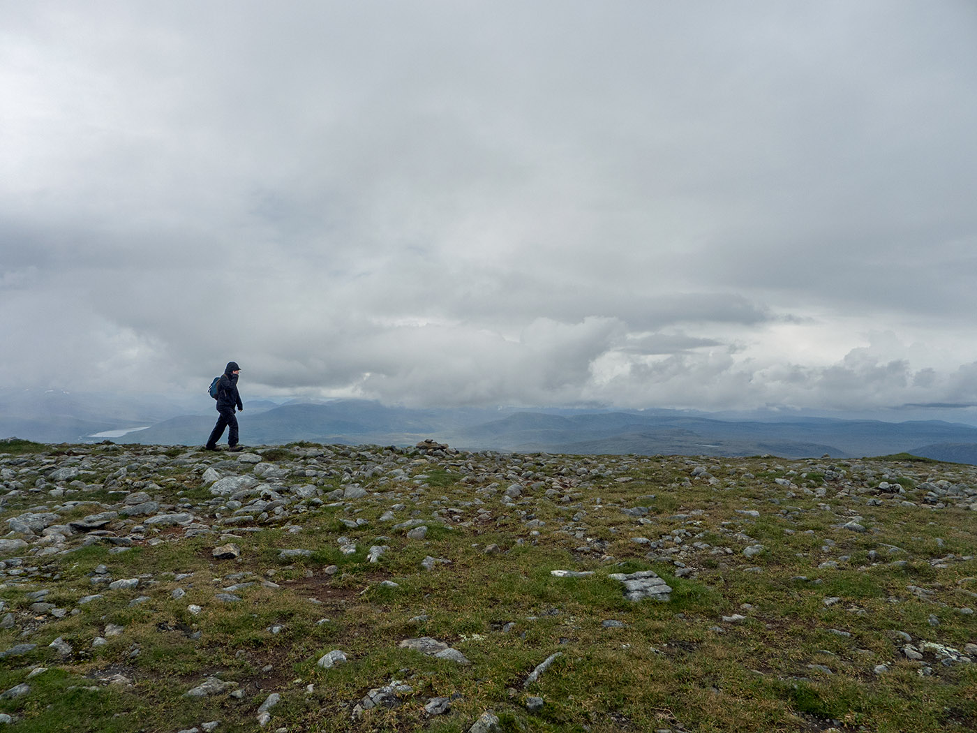
A 14km Munro route from the A835 with 935m of ascent, a built stone path to An Cabar and a mossy plateau NatureScot asks walkers to cross in single file.
Reached by car, by lift or by a short walk, rather than a day on the hill.
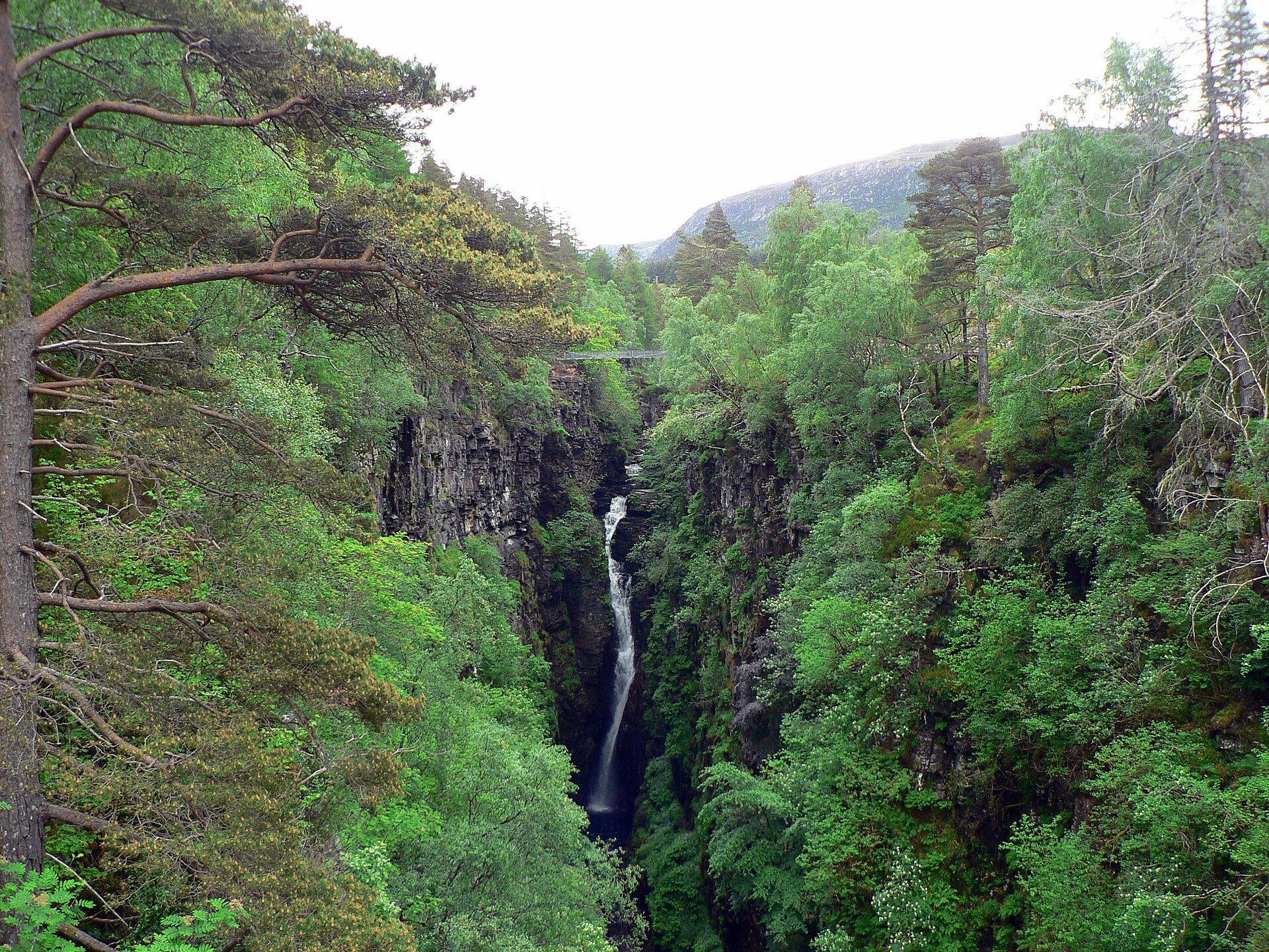
A 1.5km-long, 60-metre-deep gorge crossed by a Victorian suspension bridge, with the Falls of Measach seen from a viewing platform.
Booking through these links earns a commission. The price is the same.
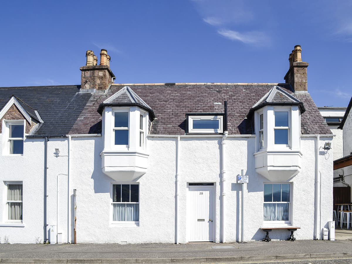
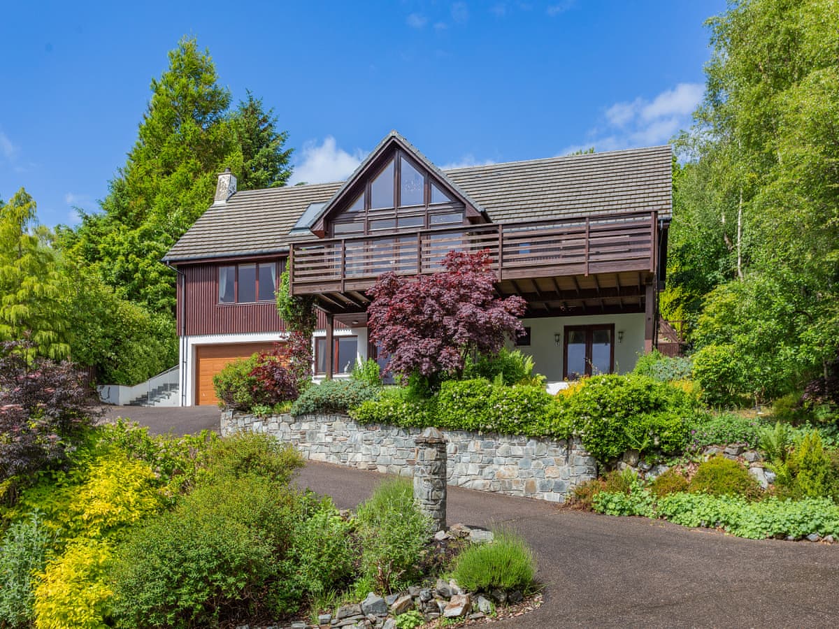
Ullapool, The Highlands
Sleeps 6 · 3 beds
from £1,032 / week
Check dates for Seaview House - Ullapool (opens the booking site in a new tab)Checked 5 Oct
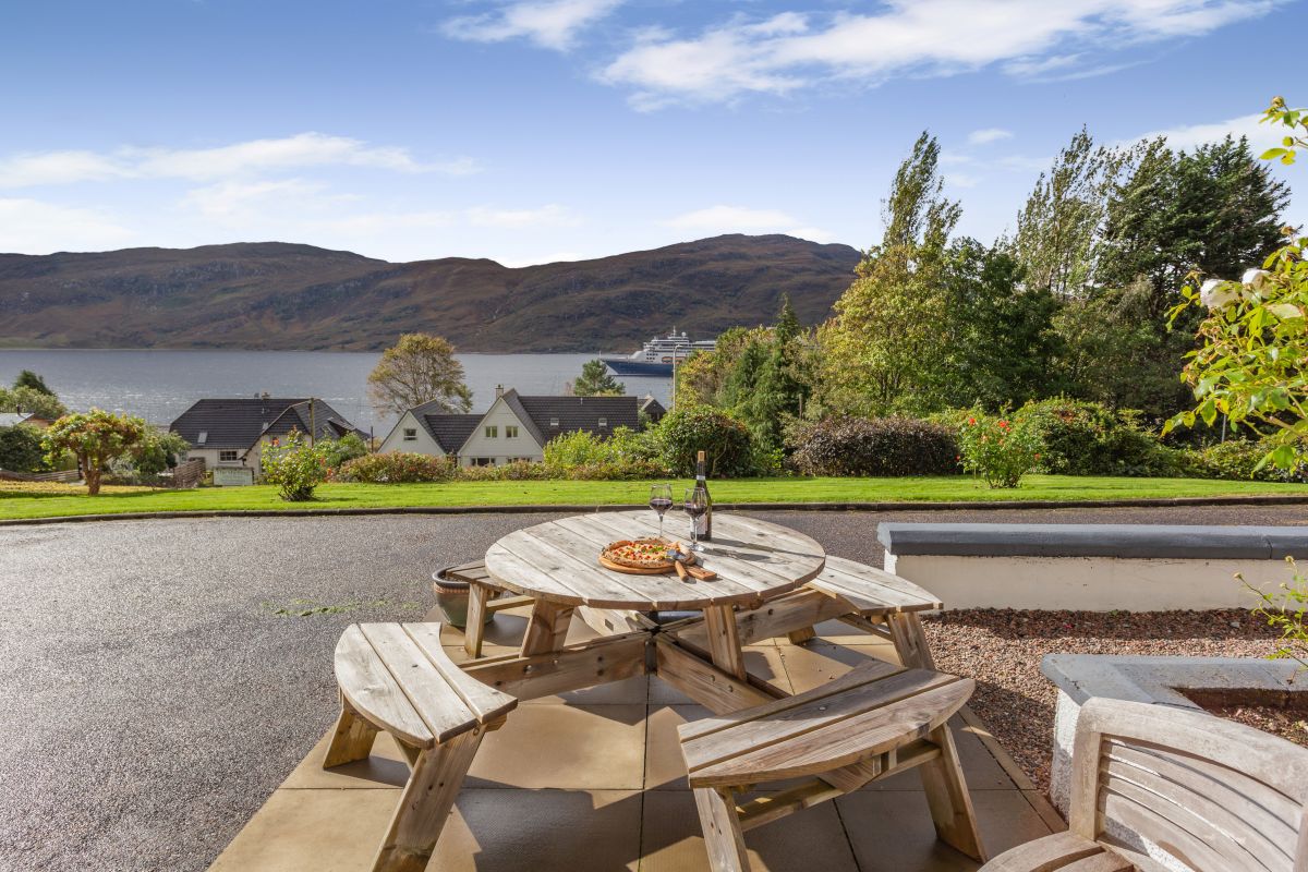
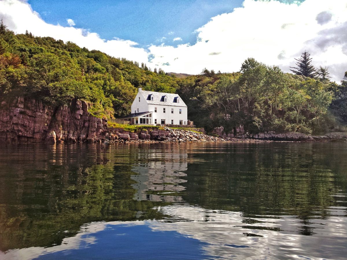
Ullapool
Sleeps 10 · 5 beds
from £1,932 / week
Check dates for Corrie Burn Villa (opens the booking site in a new tab)Checked 24 Oct
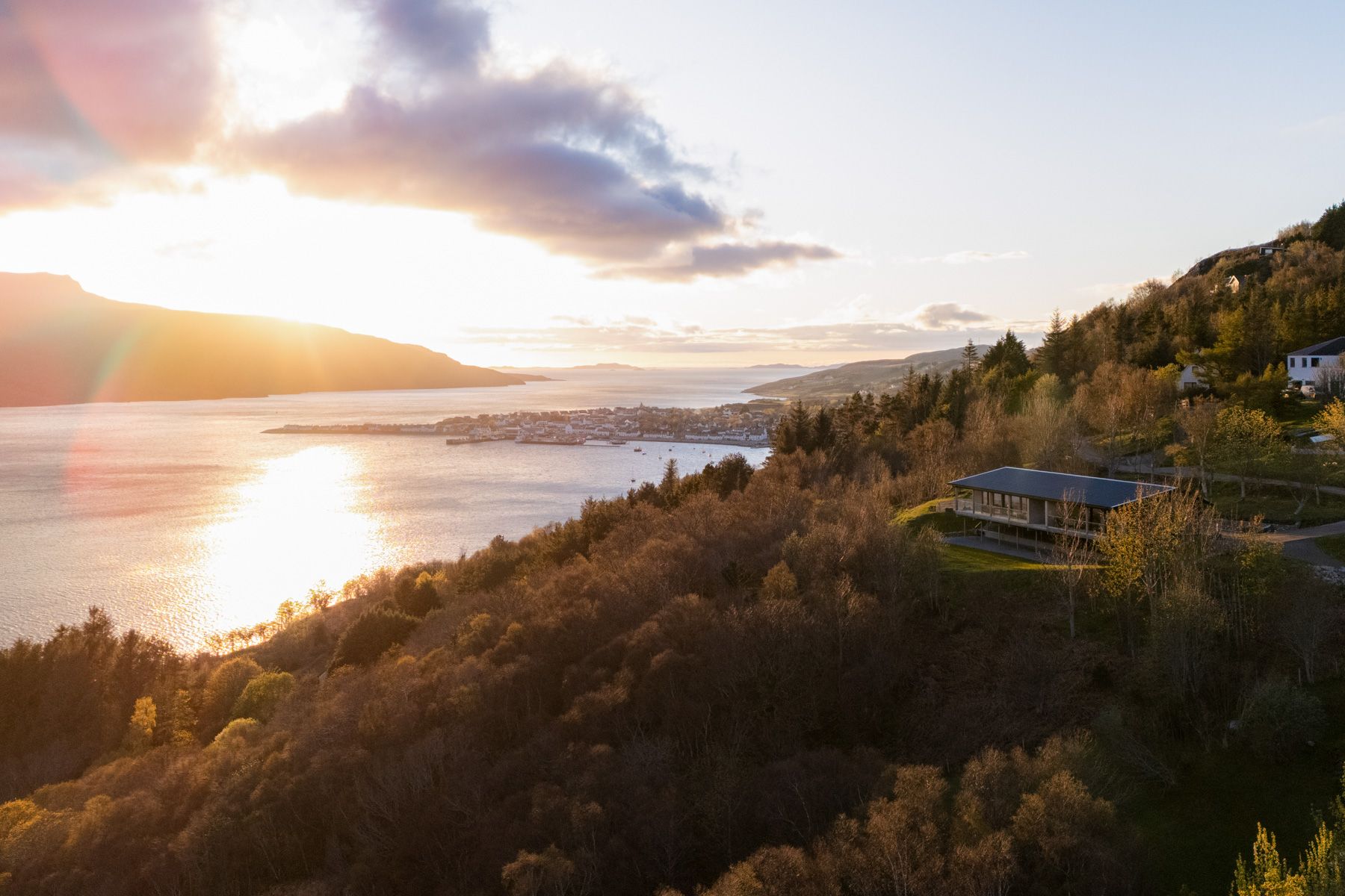
Ullapool, Northern Scotland
Sleeps 12 · 6 beds
from £1,913 / week
Check dates for Burnside House (opens the booking site in a new tab)Checked 5 Oct
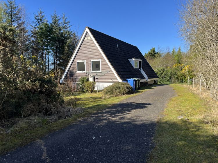
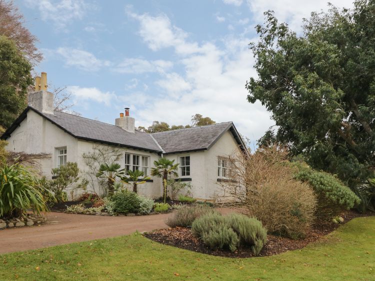
Poolewe
Sleeps 6 · 3 beds
from £702 / week
Check dates for Inverewe - Garden Lodge (opens the booking site in a new tab)Checked 9 Oct
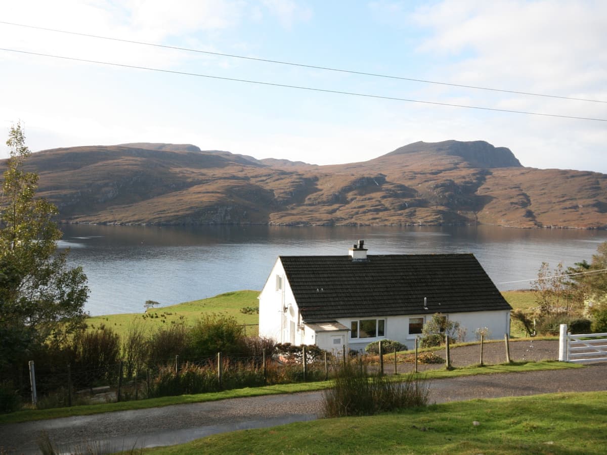
Rhue near Ullapool
Sleeps 6 · 3 beds
from £811 / week
Check dates for Westfield House (opens the booking site in a new tab)Checked 24 Oct