Beinn Eighe Mountain Trail
Near Torridon, Scotland
- Distance
- 6.5 km
- Ascent
- 586 m
- Time
- 3 hr 30 min
- Difficulty
- Hard
- Shape
- Circular
Start: Coille na Glas-Leitir Trails car park, on the Loch Maree side of the A832
Grid ref: NH 002650
The Beinn Eighe Mountain Trail starts in Coille na Glas-Leitir, a pinewood on the shore of Loch Maree that Walkhighlands says has stood for at least 8,000 years. Its preservation was the main reason this ground became Britain’s first National Nature Reserve; Wikipedia dates the reserve to 1951, and NatureScot now manages it as Beinn Eighe and Loch Maree Islands NNR. The trail starts at the Coille na Glas-Leitir car park on the A832, a drive from Torridon by the A896 to Kinlochewe and then north-west along Loch Maree, so it is not a walk from Torridon.
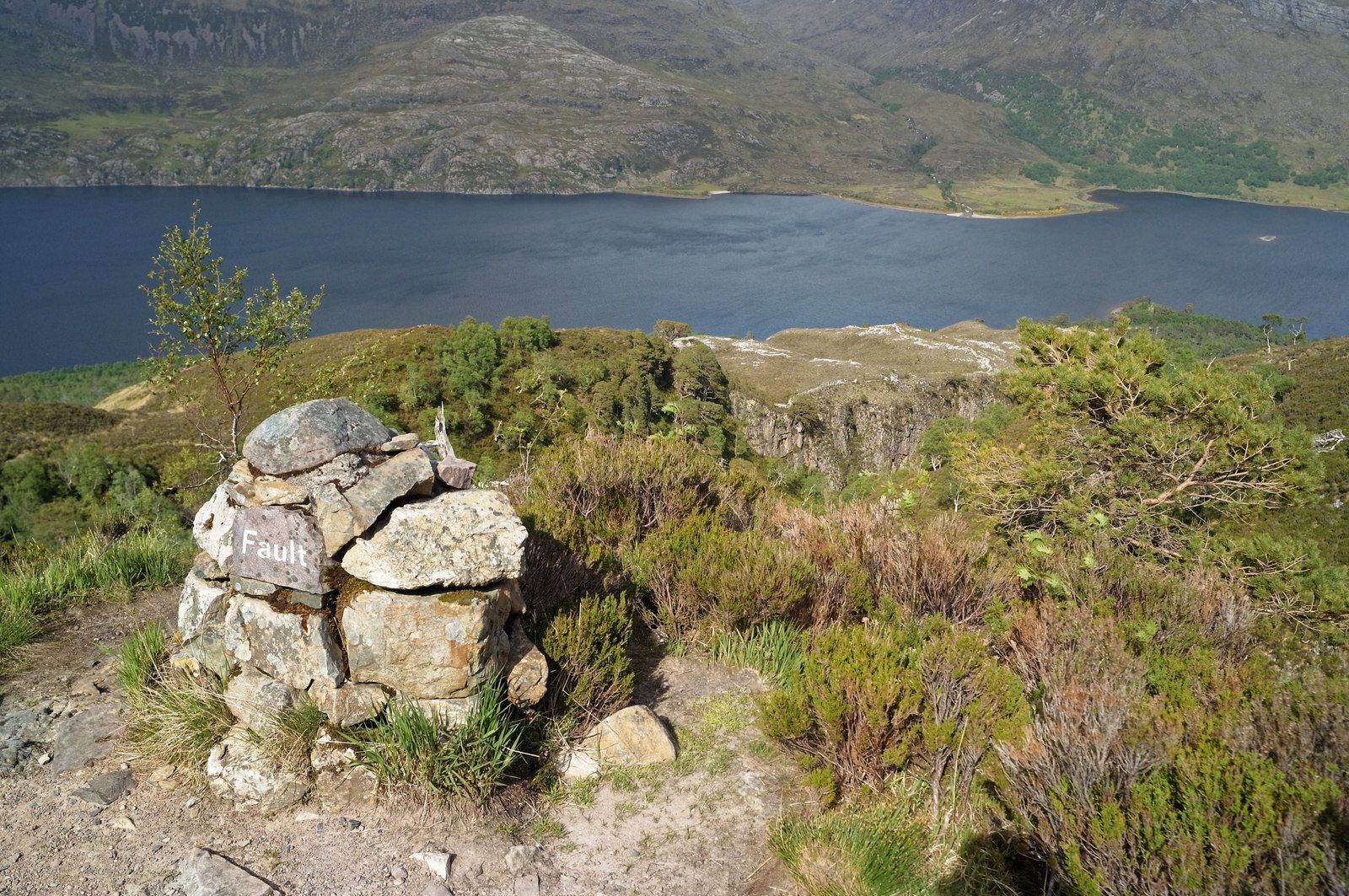
Walkhighlands, which bills it as Britain’s only waymarked mountain walk, describes a path that leaves the car park through an underpass beneath the road and climbs through birch and pine, with views back to Loch Maree and Slioch, before emerging above the trees among white quartzite crags. NatureScot warns that the paths on both trails are narrow with many steps. Large waymarker cairns mark the way, some showing the height reached, and Walkhighlands warns of two sharp left turns where walkers have missed the trail. The high point is the Conservation Cairn at about 560m, on a plateau scraped bare by glaciers, with Beinn Eighe’s ridges ahead. The return passes small lochs, including the Lunar Loch, and drops beside a gorge to join the Woodland Trail.
By Walkhighlands’ count the circuit is 6.5km with 586m of ascent and three to four hours, while NatureScot puts it at just over 6km and calls it the more difficult of the two trails from this car park. Hill boots and waterproofs are the price of a mountain plateau without a summit ridge. The trail is not for anyone needing an easy path, since Walkhighlands calls the ascent a steep, rough one, nor for anyone with weather closing in, because the upper section is exposed. The Woodland Trail from the same car park is the gentler choice, and for a full summit day the Liathach traverse is the serious alternative.
Underfoot
A narrow built path with many steps, climbing very steeply through pinewood and then over quartzite crags and broken slabs, marked by waymarker cairns; very steep, rocky and exposed to the weather on the upper section.
Stay within reach of the start
Everything here is inside 30 km of Beinn Eighe Mountain Trail.
Booking links on these earn us a commission. The price you pay is the same either way.

Torridon
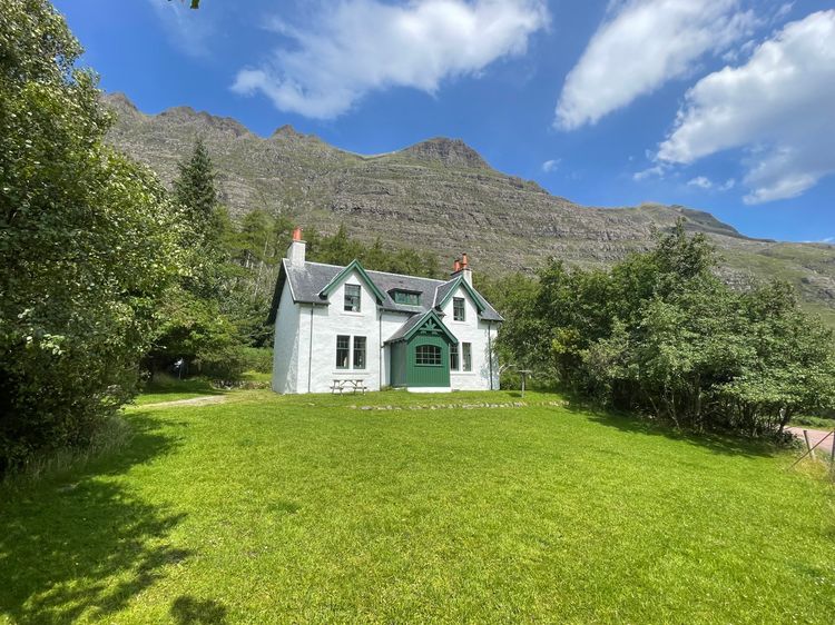
Glen Cottage - Torridon
Sleeps 6 · 3 beds
- Wood burner
- Dogs
from £776 / week
Check dates for Glen Cottage - Torridon (opens the booking site in a new tab)Checked 9 Oct

Kinlochewe, near Achnasheen, Northern Scotland
Kinlochewe Lodge
Sleeps 18 · 15 beds
- Dogs
from £4,332 / week
Check dates for Kinlochewe Lodge (opens the booking site in a new tab)Checked 5 Oct
Torridon
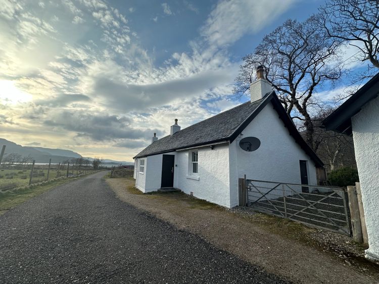
Stalker's Cottage - Torridon
Sleeps 4 · 3 beds
- Wood burner
- Dogs
from £715 / week
Check dates for Stalker's Cottage - Torridon (opens the booking site in a new tab)Checked 9 Oct
Kinlochewe, near Achnasheen, Northern Scotland
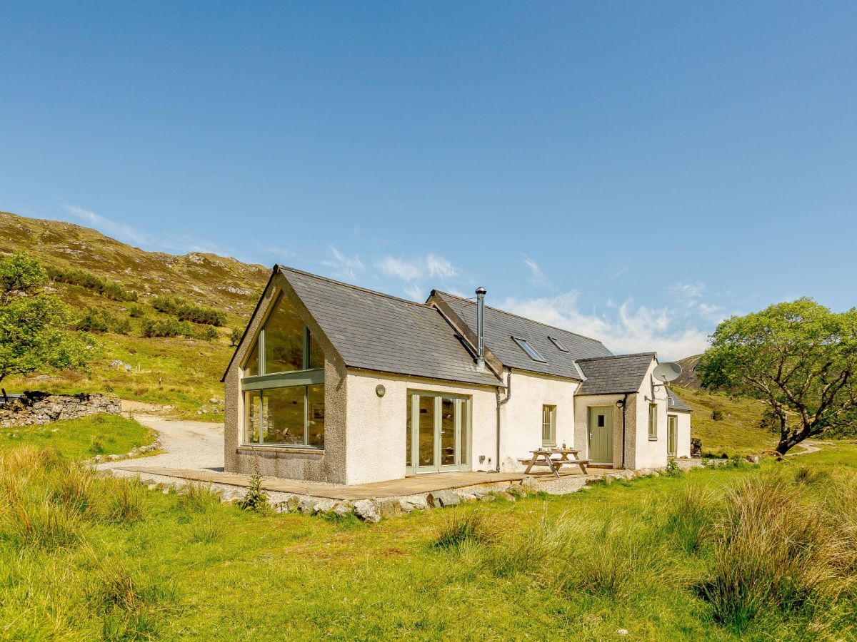
Professor's Cottage - Highlands
Sleeps 6 · 3 beds
- Wood burner
- Drying room
- Dogs
from £959 / week
Check dates for Professor's Cottage - Highlands (opens the booking site in a new tab)Checked 5 Oct
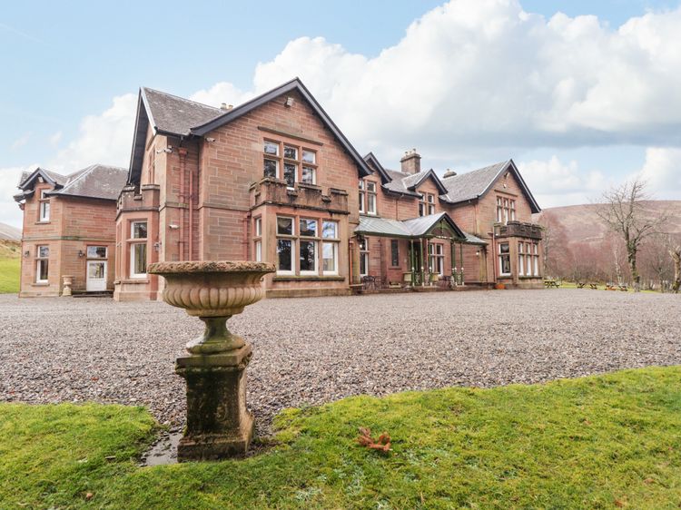
Achnasheen near Kinlochewe
Ledgowan Lodge Hotel
Sleeps 22 · 12 beds
- Wood burner
from £4,599 / week
Check dates for Ledgowan Lodge Hotel (opens the booking site in a new tab)Checked 9 Oct
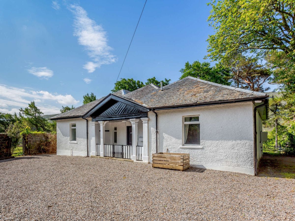
Lochrosque, near Achnasheen, Northern Scotland
Achnasheen Lodge
Sleeps 8 · 5 beds
- Wood burner
- Dogs
from £895 / week
Check dates for Achnasheen Lodge (opens the booking site in a new tab)Checked 5 Oct
Distances, ascent and times here are planning figures taken from published sources, not a route description to navigate by. Take a map and check the forecast. We do not publish conditions, because nothing on this page is updated often enough for you to trust it on the day.