The Old Man of Storr
Near Portree, Scotland
- Distance
- 5 km
- Ascent
- 340 m
- Time
- 2 hr
- Difficulty
- Moderate
- Shape
- There and back
- Parking
- Paid
- Dogs
- Yes: on leads at all times, isleofskye.com asks
Start: The Storr car park, A855 between Portree and Staffin
Grid ref: NG 508528
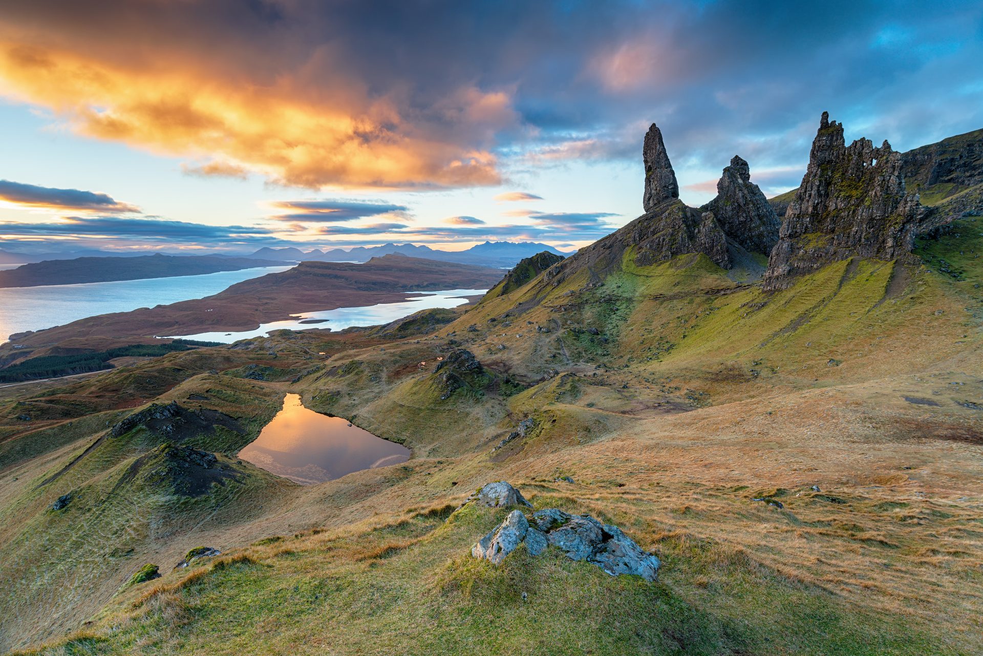
The Old Man of Storr is a prominent rock pinnacle standing apart from the main cliffline of the Storr, part of the Trotternish landslip, the longest landslip feature in Britain, which has left a jumble of towers and pinnacles scattered below the escarpment. Walkhighlands calls it one of Scotland’s most iconic places, and the path up from the Portree road is busy for most of the year as a result. The pinnacle is 50m high and was first climbed in 1955 by Don Whillans, although the rock is said to be as unstable as porridge.
From the Storr car park on the A855, the route climbs through forestry plantation before breaking out onto open hillside, with the path growing steeper, rockier and more eroded as it nears the pinnacle. The car park charges a fee and has toilets, and the lower path is wide and built up. Walkhighlands lists a bus from Portree that stops near the car park. Signs at the car park warn of rockfall risk on the upper section, a real hazard rather than a formality, and the ground underfoot deteriorates in wet weather. The full round trip covers about 5km and 340m of ascent, which Walkhighlands times at one and a half to two hours.
Beyond the Old Man, the path continues towards other pinnacles and, for those wanting more height, on to the summit of the Storr at 719m, a longer and rougher undertaking on ground without a clear path throughout. For most visitors, though, the appeal is the lower section, which reaches the pinnacles for a modest 340m of ascent, and Walkhighlands calls the walk deservedly very popular. The path suits a walker who can start early and tolerate company, and it does not suit anyone hoping for solitude, though Walkhighlands’ own route branches left to leave most of the crowd; Ordnance Survey Explorer 408 covers the ground, and Bla Bheinn is the alternative for a full mountain day rather than a two-hour outing.
Underfoot
Clear hill path, steep and rocky in its upper section, with some eroded ground and warning signs for rockfall.
Stay within reach of the start
Booking through these links earns a commission. The price is the same.
Portree
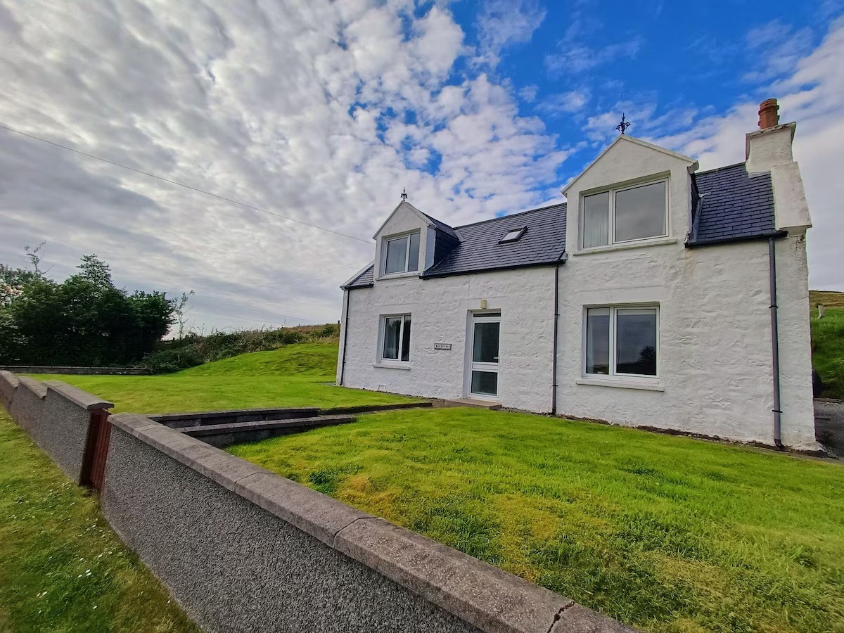
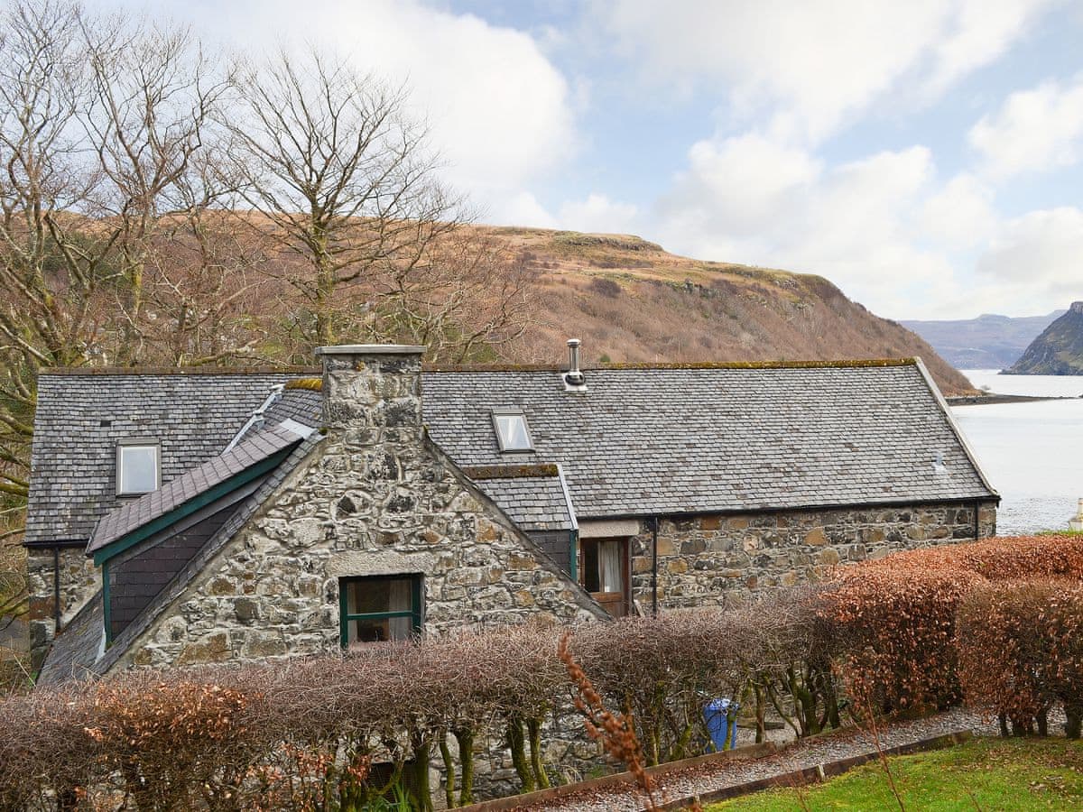
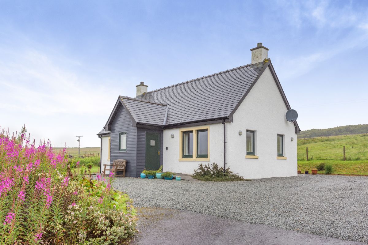
Burnside Cottage
Sleeps 5 · 3 beds
- Wood burner
- No dogs
from £956 / week
Check dates for Burnside Cottage (opens the booking site in a new tab)Checked 9 Oct
Glenhinnisdal, Scottish Islands
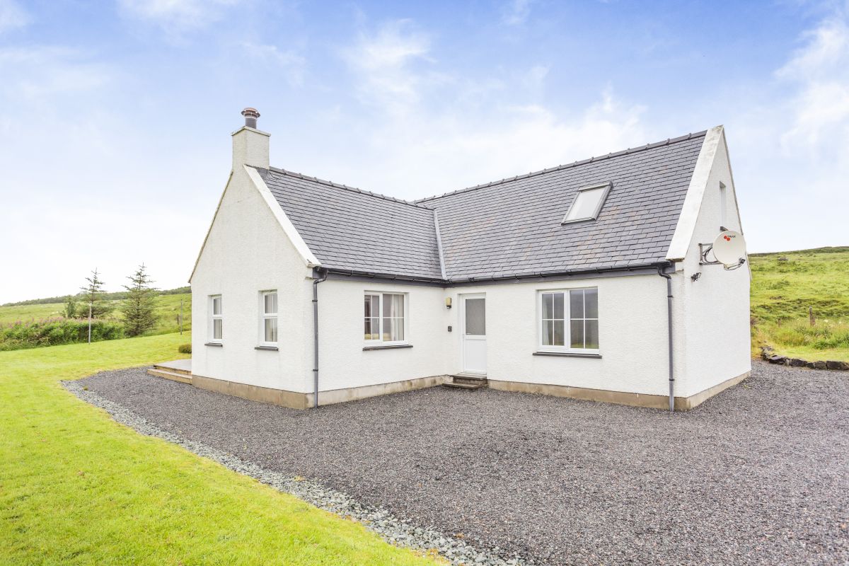
Sealladh Breagh
Sleeps 6 · 3 beds
- Wood burner
- No dogs
from £766 / week
Check dates for Sealladh Breagh (opens the booking site in a new tab)Checked 8 Oct
Portree
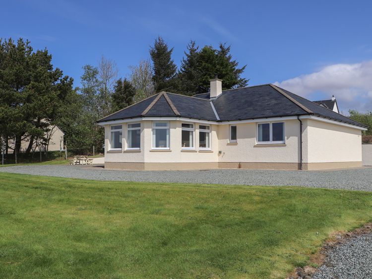
Riverside Cottage
Sleeps 5 · 3 beds
- Wood burner
- No dogs
from £1,055 / week
Check dates for Riverside Cottage (opens the booking site in a new tab)Checked 9 Oct
Distances, ascent and times here are planning figures taken from published sources, not a route description to navigate by. Take a map and check the forecast.