Goatfell from Brodick and Cladach
Near Brodick, Scotland
- Distance
- 10.5 km
- Ascent
- 830 m
- Time
- 5 hr
- Difficulty
- Hard
- Summit
- 874 m
- Shape
- There and back
Start: Cladach, 1.5km north of Brodick, with parking beside the A841
Grid ref: NS 012376
Goatfell is the highest hill on Arran at 874m, which both the National Trust for Scotland and Walkhighlands give, and the Trust’s ranger points out that the walk gains that whole height from sea level, from behind Brodick Castle and the bay. The Trust looks after the mountain together with the castle and country park below it, and Walkhighlands calls the route from Cladach the most popular and straightforward way up this granite peak.
The walk starts at Cladach, about 1.5km north of Brodick; the Trust names two places to park, on the landward side of the A841 in front of the large pink Wineport Bistro or on the seaward side at the Arran Mountain Rescue Team base, and asks that access to the base is not blocked. The path climbs behind the bistro through forestry and birchwood, crosses the Brodick Castle drive, and passes through the deer fence that encircles Arran’s northern hills before reaching open moor and the east shoulder. The Trust says it has spent the last decade stabilising and widening the path against erosion, and asks walkers to stay on the built line. The last 200m, in its words, need extra caution because the terrain is steep and rocky, and it points out that the path is not waymarked, so navigation matters in poor visibility.
The Trust gives the walk as 10.5km and 830m of ascent in four and a half to six hours, rates it difficult, and Walkhighlands records 874m of ascent. A fit walker with boots, a map and a compass, who wants a proper hill with island views, is who it suits; the Trust lists Ben Lomond, Jura and the coast of Ireland from the top. Anyone treating the summit as a stroll should look elsewhere, and the ridge running north of Goatfell, which the Trust describes as jagged granite tors needing scrambling or careful route-finding, is for experienced hillwalkers only. For a much smaller hill, Ben A’an in the Trossachs is a fraction of the height and effort.
Underfoot
A track and path through forestry and birch woodland, then open moorland to the eastern shoulder; the final stretch is steep and rocky, over big granite steps and boulders, and the path is not waymarked.
Stay within reach of the start
Everything here is inside 30 km of Goatfell from Brodick and Cladach.
Booking links on these earn us a commission. The price you pay is the same either way.
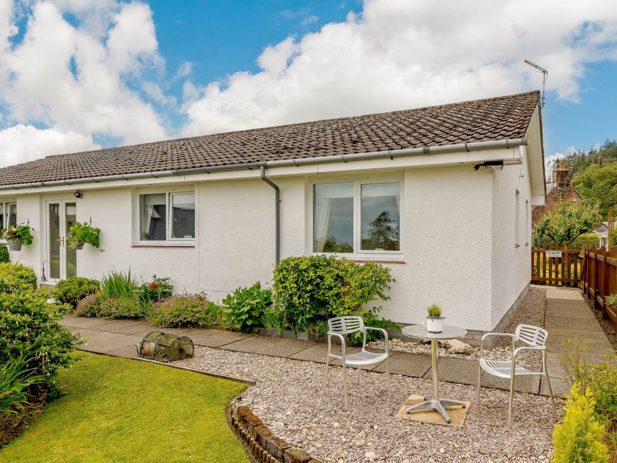

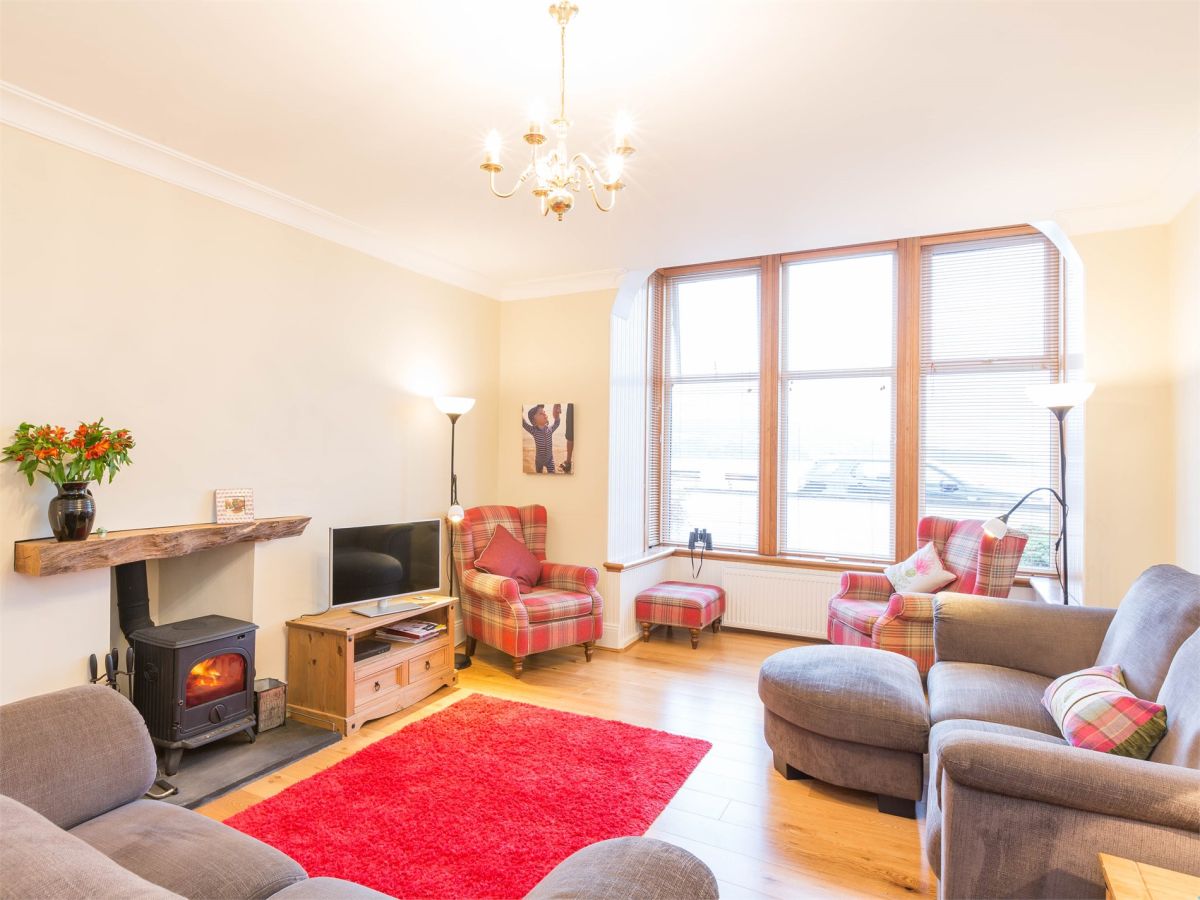
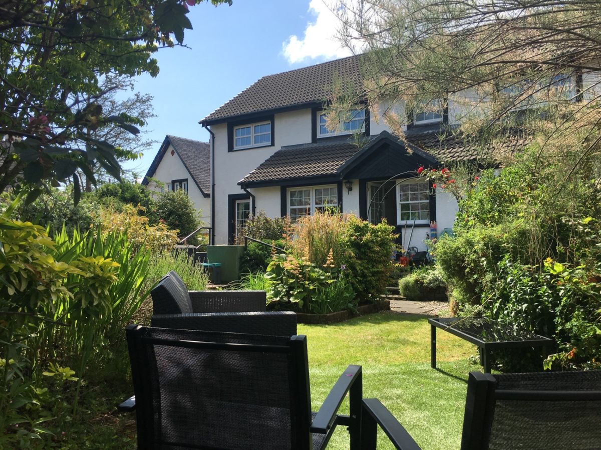

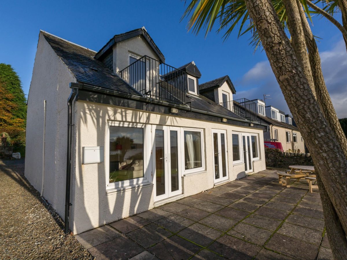
Lamlash, Scottish Islands
Woodside - Lamlash
Sleeps 7 · 4 beds
- Dogs
from £797 / week
Check dates for Woodside - Lamlash (opens the booking site in a new tab)Checked 8 Oct
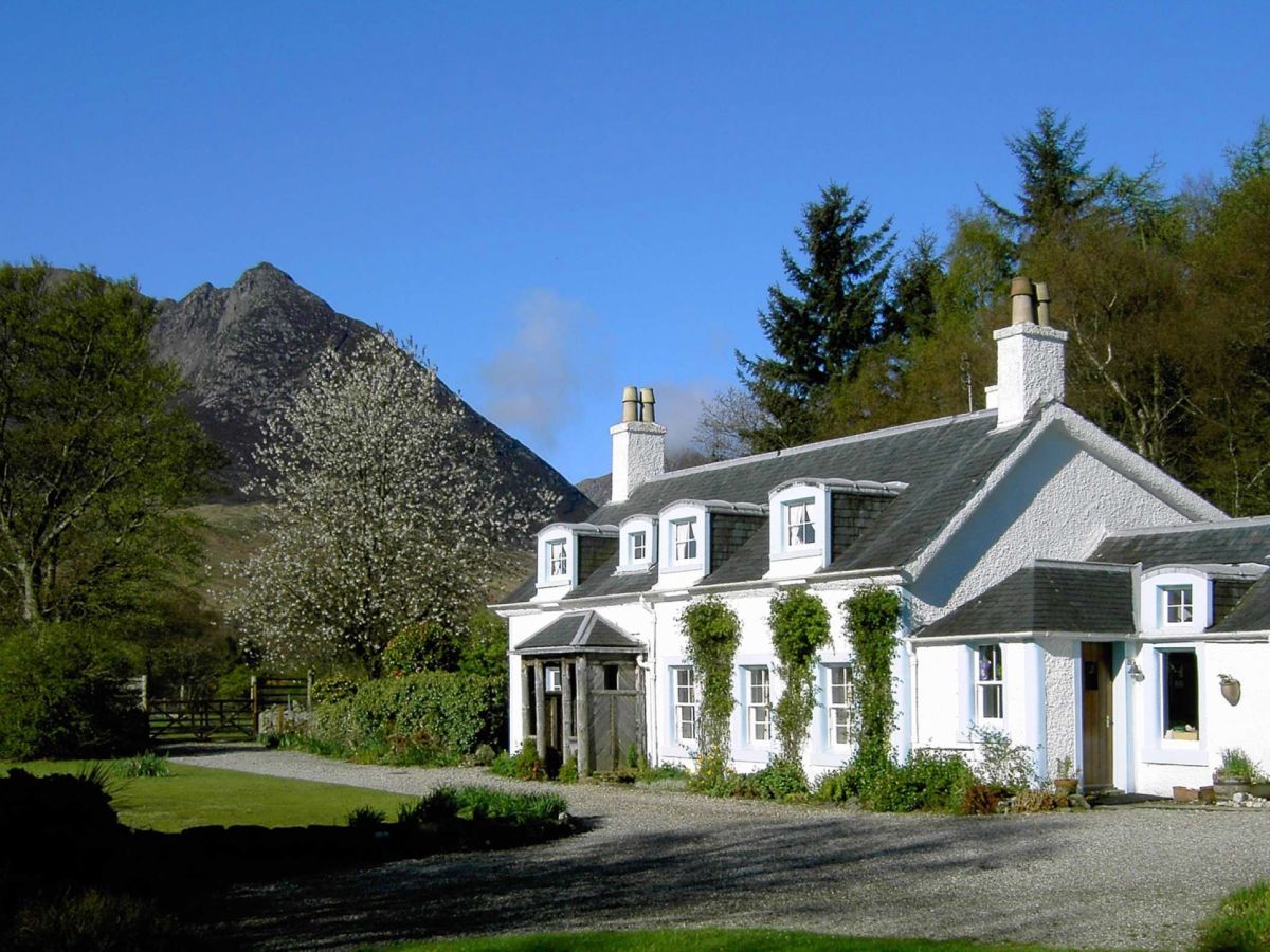
Sannox, Isle of Arran, Scottish Islands
Woodside - Sannox
Sleeps 6 · 3 beds
- Dogs
from £826 / week
Check dates for Woodside - Sannox (opens the booking site in a new tab)Checked 8 Oct

Distances, ascent and times here are planning figures taken from published sources, not a route description to navigate by. Take a map and check the forecast. We do not publish conditions, because nothing on this page is updated often enough for you to trust it on the day.