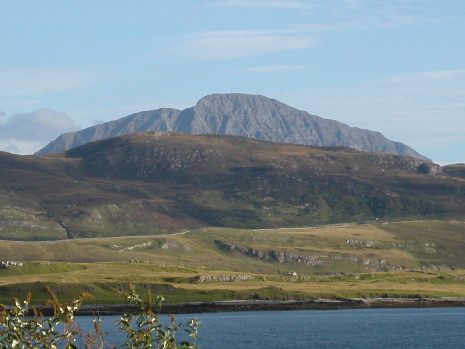
Ben Hope from Strath More
- Distance
- 7.5 km
- Ascent
- 946 m
- Time
- 6 hr
- Difficulty
- Hard
- Summit
- 927 m
- Dogs
- Yes: on a tight lead near the summit edge, 10Adventures says
Start: Car park on the minor road up Strath More, about three kilometres south of the head of Loch Hope
Grid ref: NC 462476
Ben Hope is the most northerly of the Munros, which Walkhighlands and Wikipedia both say, and Walkhighlands puts its summit at 927m with no higher ground nearer than Ben Klibreck, far to the south-east. Wikipedia translates the Gaelic Beinn Hòb as mountain of the bay and records that the hill lies within the Ben Hope Site of Special Scientific Interest, which NatureScot designated for its geology, upland habitats and plant species. Beside the Strath More road, south of the hill, stands an older monument: Wikipedia describes Dun Dornaigil, an Iron Age broch in the care of Historic Environment Scotland, with walls that generally survive to 2 or 3m and rise to nearly 7m above a doorway under a triangular lintel 1.4m along its base.
Walkhighlands starts the climb at a car park on the minor road up Strath More, around three kilometres south of the head of Loch Hope, where a large sign reads “Way Up Ben Hope”. The path heads straight uphill beside the Allt a’ Mhuiseil on rocky ground, easing briefly before it steepens again and weaves between crags, then crosses a grassy shelf onto the very broad southern ridge. A wide zig-zag takes it up the steepening, and an eroded path on grassy slopes leads past a false summit to a small plateau, where a trig point and a windshelter cairn stand among boulders. Walkhighlands warns that the plateau ends abruptly, with an extremely steep and airy north ridge beyond it and great walls of crags on each flank. The return is usually by the same path.
Walkhighlands gives 7.5km and 946m of ascent in four to six hours, a short distance on a steep gradient. It suits a walker who wants a Munro by a single, direct line. It does not suit anyone who dislikes sustained steep, wet, rocky ground, since Walkhighlands says that is how the path begins. For a northern Munro on a built stone path rather than a wet rocky one, Ben Wyvis is the alternative.
Underfoot
A path for most of the route, steep, wet and rocky at first beside the Allt a' Mhuiseil, then eroded grassy slopes to a false summit and a small boulder-strewn summit plateau that ends in an extremely steep north ridge with crags on each flank.
Stay within reach of the start
Booking through these links earns a commission. The price is the same.
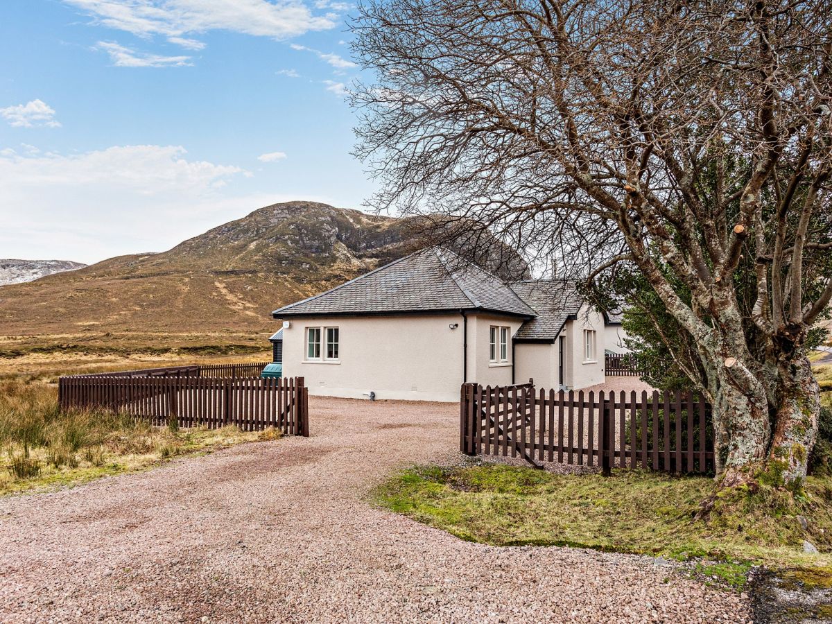
Achfary, near Lairg, Northern Scotland
Kinloch Cottage
Sleeps 4 · 2 beds
- Wood burner
- Dogs
from £587 / week
Check dates for Kinloch Cottage (opens the booking site in a new tab)Checked 9 Oct
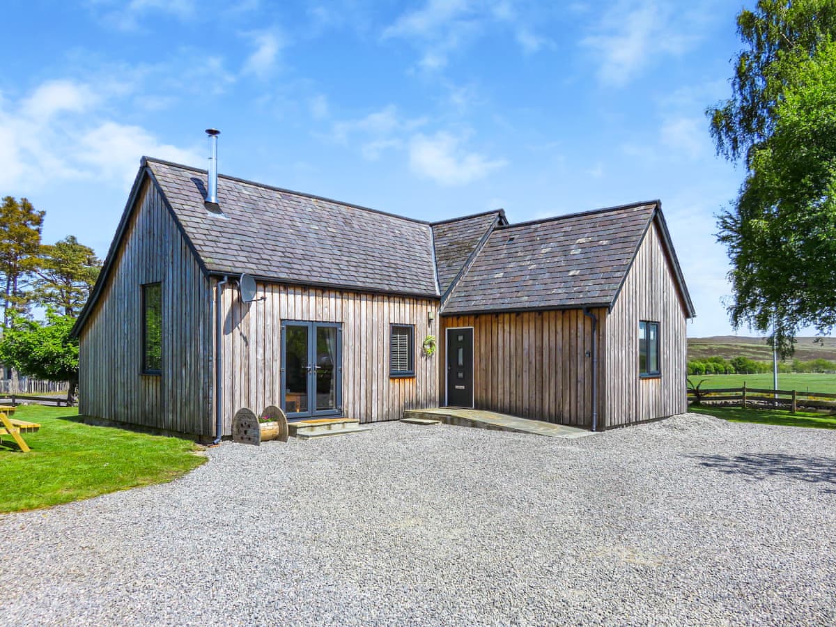
Altnaharra
Old School House
Sleeps 4 · 2 beds
- No dogs
from £791 / week
Check dates for Old School House (opens the booking site in a new tab)Checked 24 Oct

Achfary, near Lairg, Northern Scotland
The Old Post Office - Achfary
Sleeps 5 · 3 beds
- Wood burner
- No dogs
from £817 / week
Check dates for The Old Post Office - Achfary (opens the booking site in a new tab)Checked 9 Oct
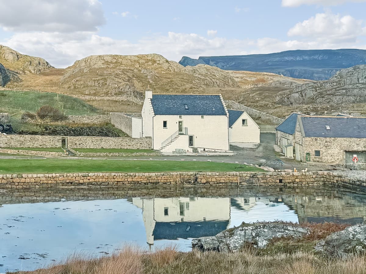
Rispond
Rispond Estate - The Fish House
Sleeps 8 · 4 beds
- No dogs
from £1,452 / week
Check dates for Rispond Estate - The Fish House (opens the booking site in a new tab)Checked 24 Oct
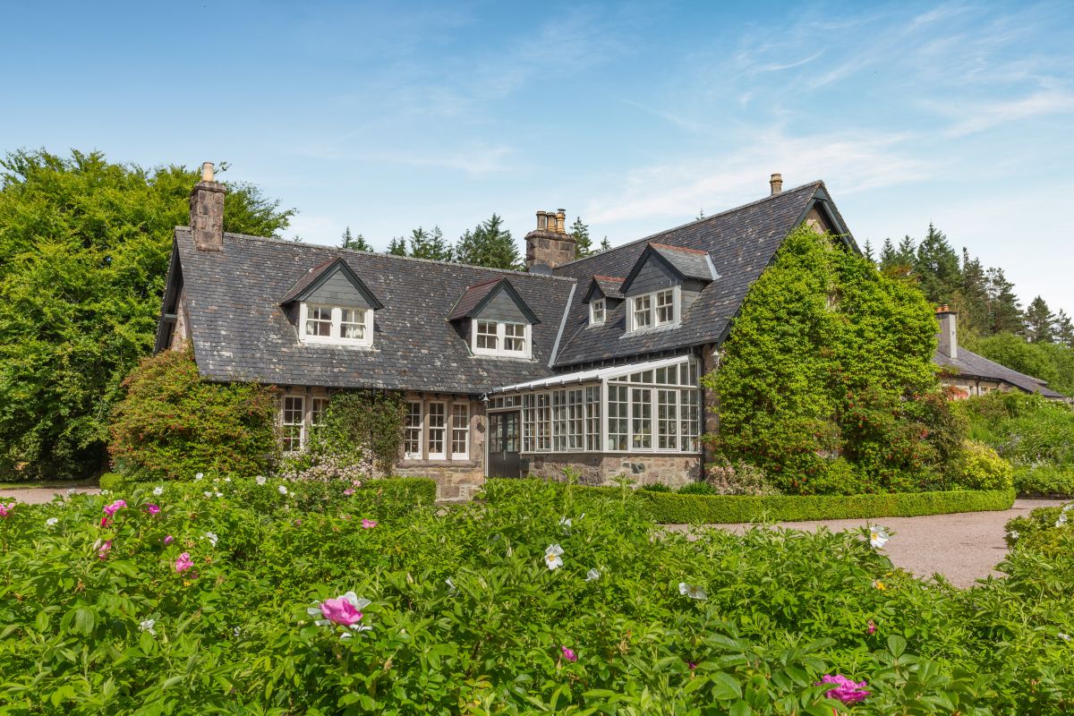
Achfary, near Lairg, Northern Scotland
The Old Laundry - Achfary
Sleeps 9 · 5 beds
- Drying room
- Dogs
from £1,212 / week
Check dates for The Old Laundry - Achfary (opens the booking site in a new tab)Checked 9 Oct
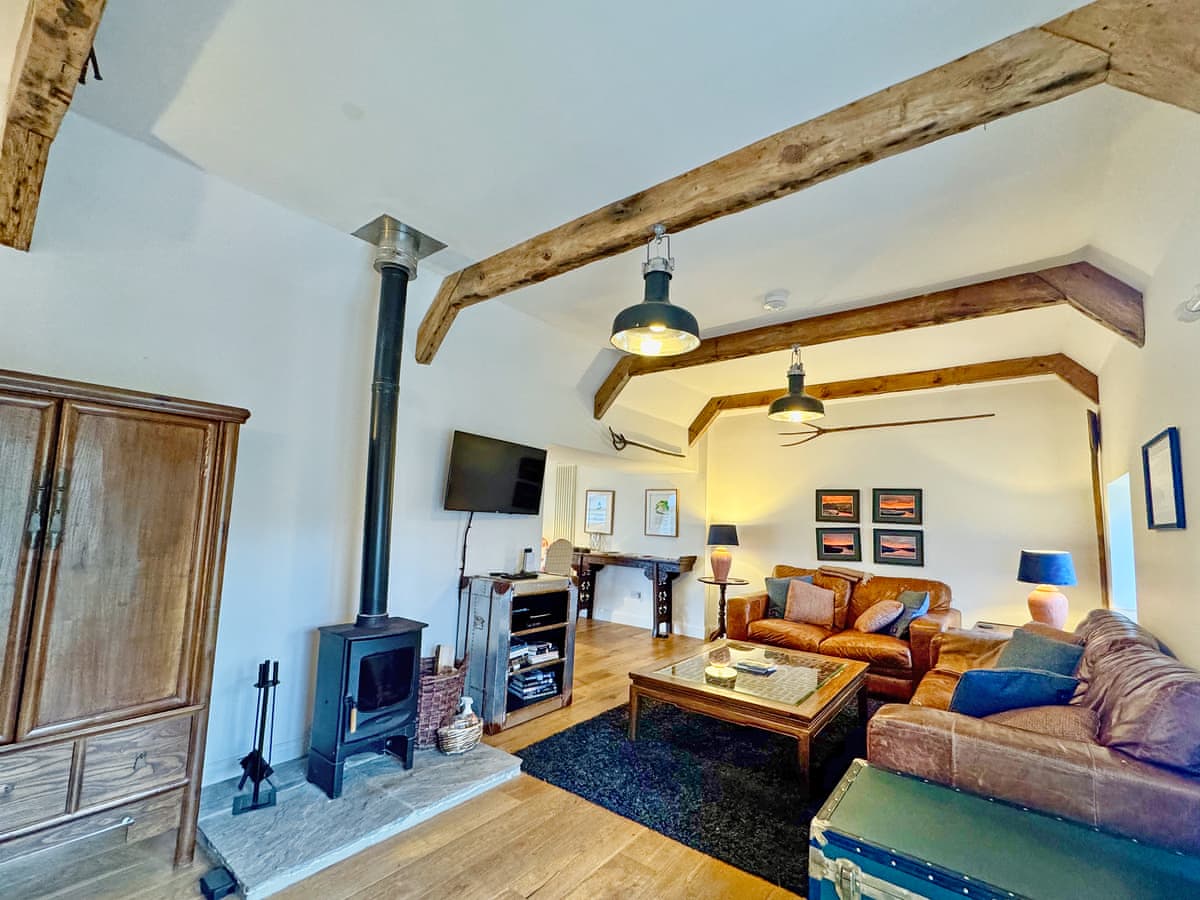
Rispond
Rispond Estate - The Byre
Sleeps 4 · 2 beds
- No dogs
from £1,195 / week
Check dates for Rispond Estate - The Byre (opens the booking site in a new tab)Checked 24 Oct

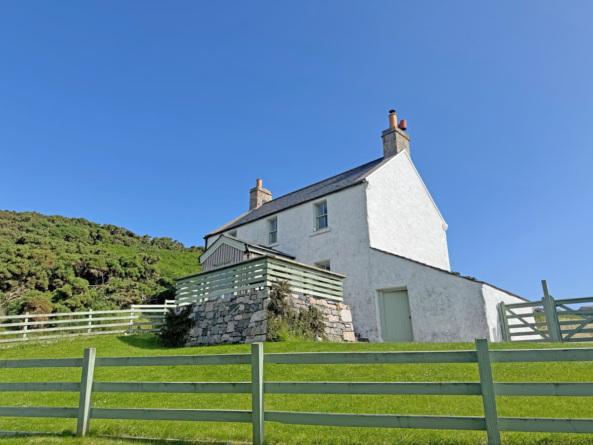
Rispond
Rispond Estate - The Cottage
Sleeps 2 · 1 bed
- Dogs
from £939 / week
Check dates for Rispond Estate - The Cottage (opens the booking site in a new tab)Checked 24 Oct
Distances, ascent and times here are planning figures taken from published sources, not a route description to navigate by. Take a map and check the forecast.