The Roaches
Near Hartington, Peak District
- Distance
- 5.5 km
- Ascent
- 187 m
- Time
- 2 hr
- Difficulty
- Moderate
- Summit
- 505 m
- Shape
- Circular
- Parking
- Roadside only
- Dogs
- Yes
Start: Roach Road layby, Upper Hulme
Grid ref: SK 00416211
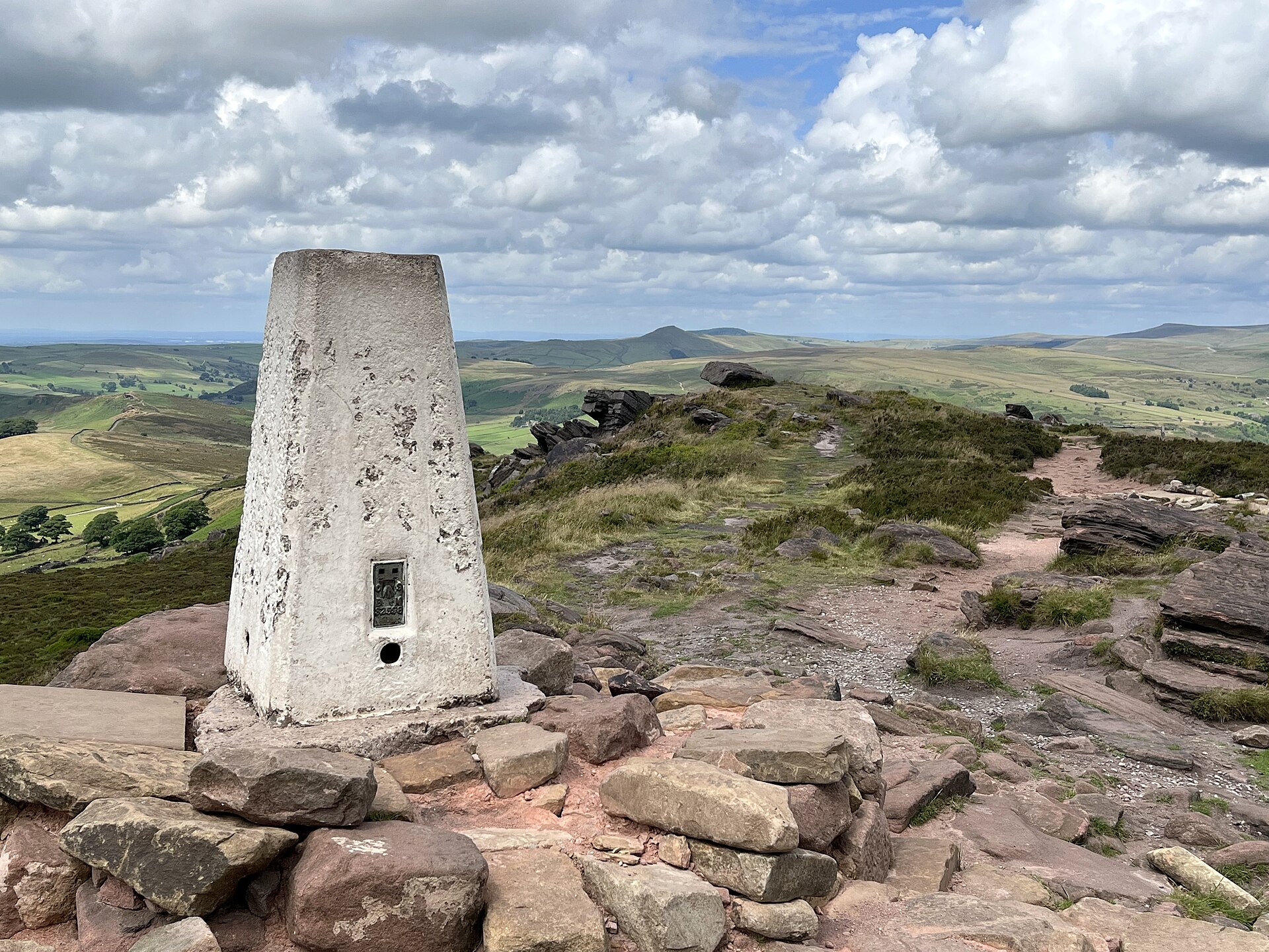
The Roaches is a gritstone escarpment above Leek, its trig point at 505m the high point of a ridge that Wikipedia’s geological entry describes as a thick bed of coarse Namurian sandstone known, after this outcrop, as Roaches Grit. The Peak District National Park Authority bought the 395-hectare estate in the 1980s, and since 1 May 2013 Staffordshire Wildlife Trust has managed it under a 125-year lease, the Authority keeping the freehold. Rockhall Cottage, a Grade II listed former shooting lodge partly built into the rock below the ridge and better known to climbers as the Don Whillans Memorial Hut, sits beneath the escarpment’s southern end.
From the free layby on Roach Road at Upper Hulme, the path climbs steeply onto the ridge, passing Hen Cloud’s viewpoint before following the escarpment crest past the trig point to Doxey Pool, a pond around 15 by 10 metres that local legend gives to Jenny Greenteeth, a water spirit said to pull travellers under. The ground along the top is rocky and uneven, with a steep, unfenced drop on the eastern side that Peak District Kids’ family walk notes explicitly when warning it is not suitable for prams or wheelchairs. Staffordshire Wildlife Trust asks that dogs stay on a lead here.
At 5.5km and 187m of ascent, this is a half-day escarpment walk, moderate underfoot but with real exposure at the edge that rules it out for anyone unsteady near a drop, or for a family with a pram. For an easier valley walk from the same hub, Wolfscote Dale from Hartington stays low beside the River Dove with none of the Roaches’ edge.
Underfoot
A steep climb at the outset onto a gritstone escarpment, then rocky, uneven ground along the ridge with an unfenced drop on the eastern edge.
Stay within reach of the start
Everything here is inside 12 km of The Roaches.
Distances, ascent and times here are planning figures taken from published sources, not a route description to navigate by. Take a map and check the forecast. We do not publish conditions, because nothing on this page is updated often enough for you to trust it on the day.