Rhinog Fawr by the Roman Steps
Near Barmouth, Eryri
- Distance
- 8.1 km
- Ascent
- 585 m
- Time
- 4 hr 10 min
- Difficulty
- Hard
- Summit
- 720 m
- Shape
- Circular
- Parking
- Paid
Start: Cwm Bychan car park, Llyn Cwm Bychan
Grid ref: SH 645314
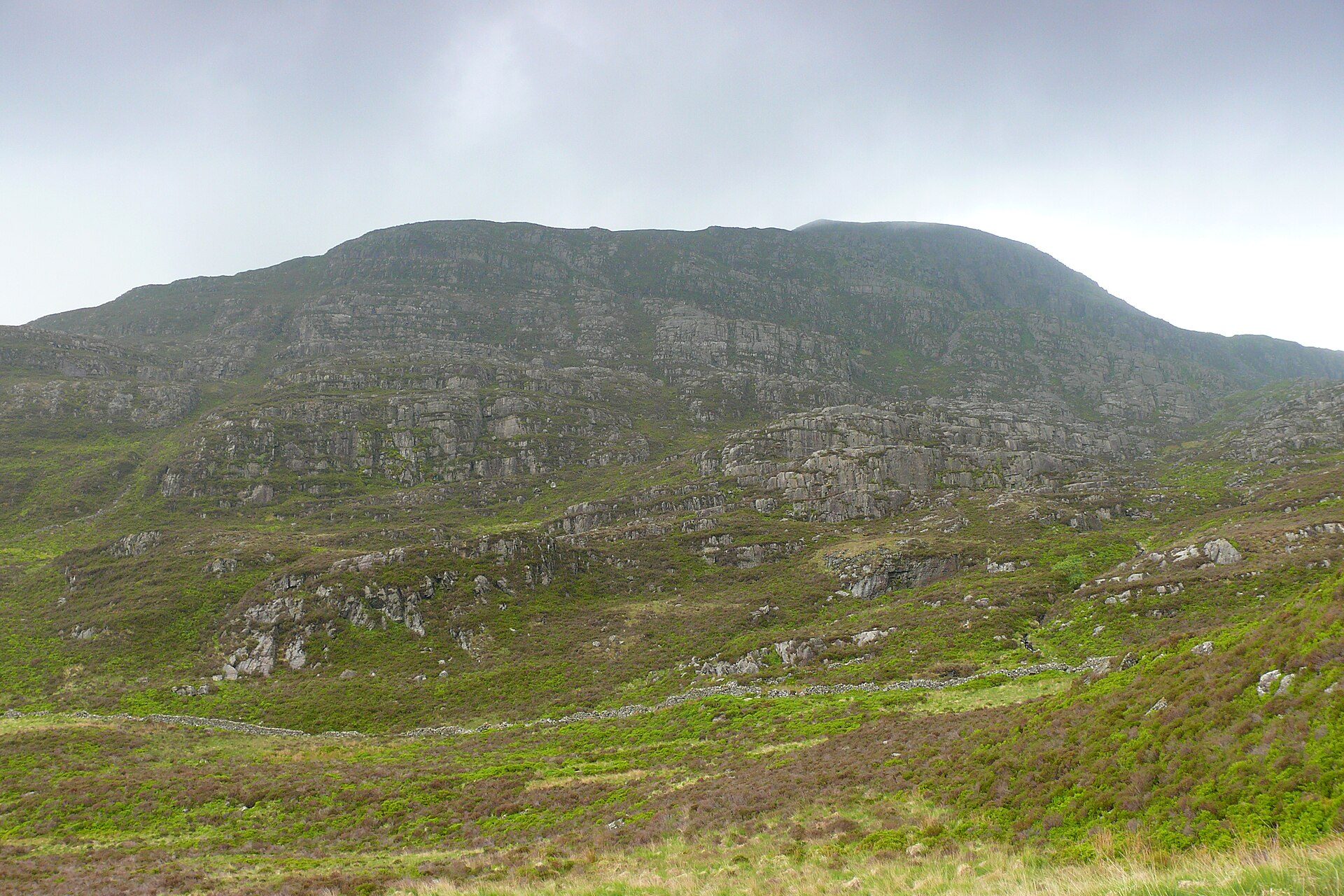
Rhinog Fawr rises to 720m in the Rhinogydd, the third-highest summit of the range, and Wikipedia describes the hard sedimentary rock under its heather as making progress on foot difficult. The Roman Steps, the usual way in, are not Roman. AA RatedTrips calls them part of a medieval packhorse track, used by drovers taking cattle from Harlech towards the markets of England, and notes that the Romans, who had a fort near Trawsfynydd, might have used a predecessor.
Walking Britain starts at the Cwm Bychan car park, which RatedTrips lists as an honesty-box car park at the head of Llyn Cwm Bychan, reached by a minor road from Llanbedr. The Roman Steps climb through woodland into rocky ground, with a flagged path to the col at Bwlch Tyddiad. Beyond it the route leaves the path for a narrower one through knee-deep heather to Llyn Du, then climbs a gully where hands are needed on a short section, onto a summit plateau marked by a large cairn. The guide calls the descent to Gloyw Lyn hard to describe, warns that the terrain is confusing, asks walkers to carry a large-scale map and compass, and does not recommend the walk to inexperienced walkers. Barmouth is the nearest base on this site, around 16km away in a straight line.
On Ordnance Survey Explorer OL18, the sheet Walking Britain lists, the circuit measures 8.1km with 585m of ascent, around four hours ten minutes, graded mod/hard. It suits a walker who can navigate across heather and boulders. Anyone relying on a waymarked path should not start, because the guide itself calls the ground beyond the col confusing. For mountain cliffs without any navigation, Cregennan Lakes sit on the lower slopes of Cadair Idris and are reached by car.
Underfoot
A flagged path up the Roman Steps, then a narrow path through knee-deep heather to Llyn Du, a rough gully needing hands for a short section, and a descent across rough heather and boulders with no clear path to Gloyw Lyn.
Stay within reach of the start
Everything here is inside 14 km of Rhinog Fawr by the Roman Steps.
Booking links on these earn us a commission. The price you pay is the same either way.
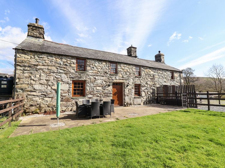
Llanbedr near Harlech
Cwm Yr Afon Mawr
Sleeps 6 · 3 beds
- Wood burner
- Dogs
from £467 / week
Check dates for Cwm Yr Afon Mawr (opens the booking site in a new tab)Checked 8 Oct
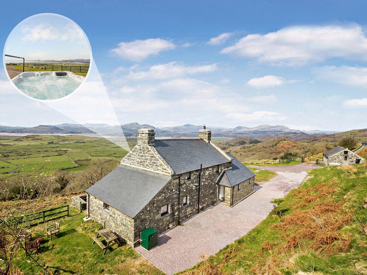
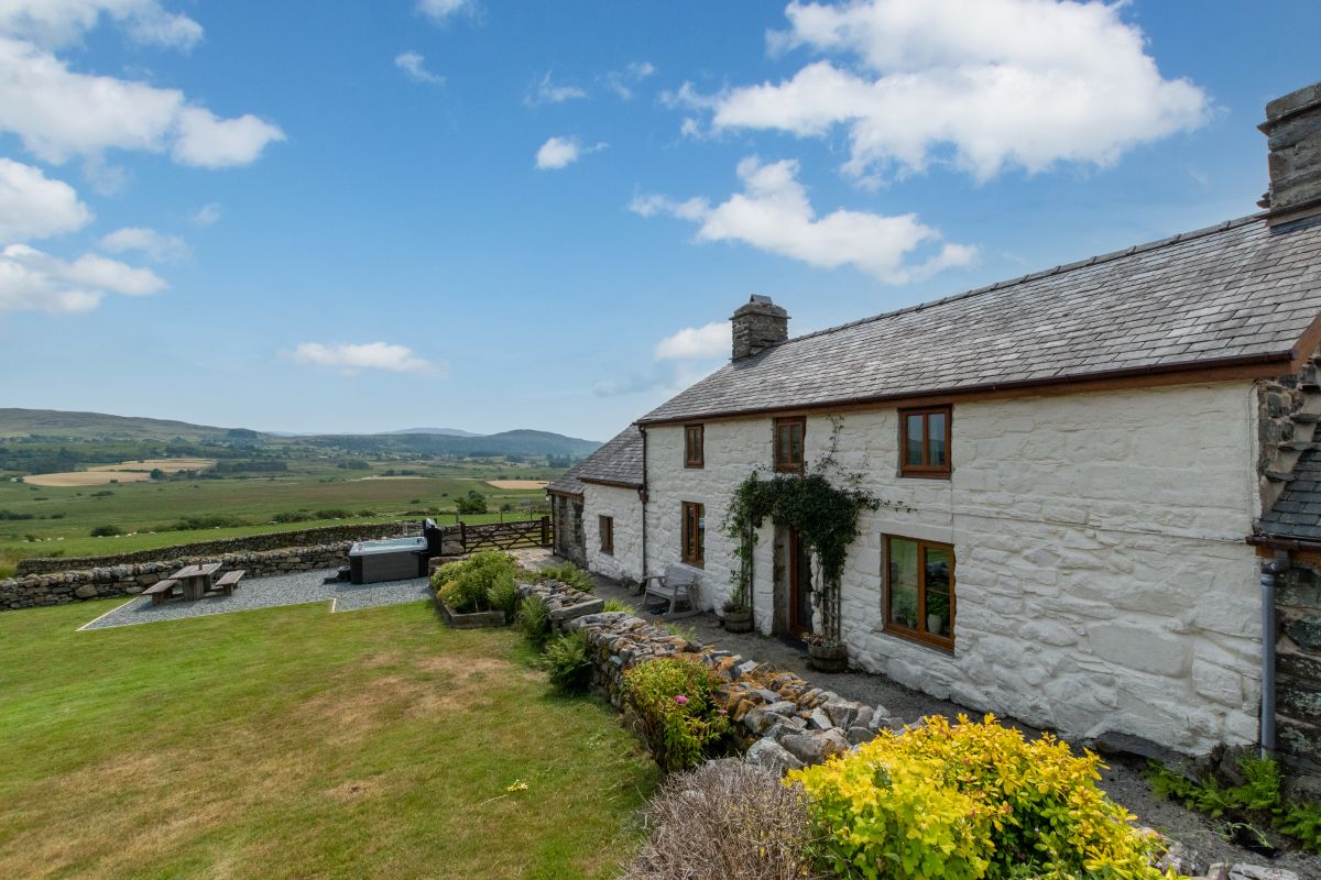
Harlech, North Wales
Harlech Retreat
Sleeps 10 · 6 beds
- Hot tub
- Wood burner
- Dogs
from £1,875 / week
Check dates for Harlech Retreat (opens the booking site in a new tab)Checked 5 Oct
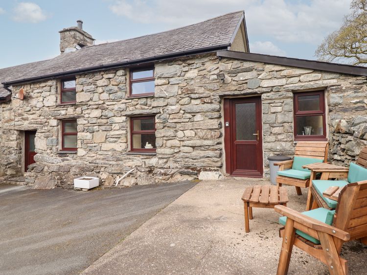
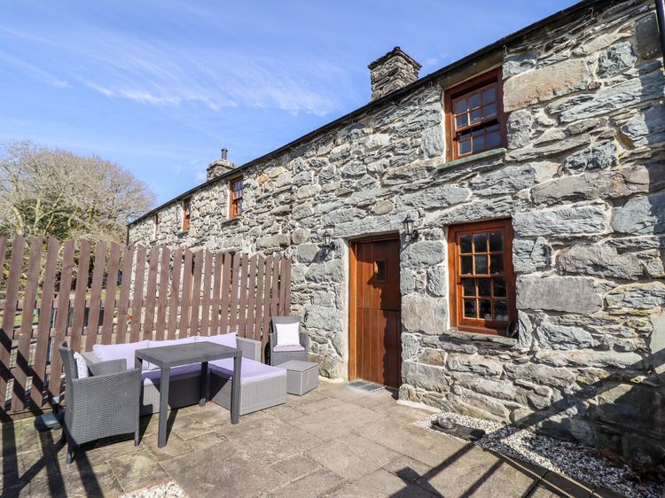
Trawsfynydd, near Blaenau Ffestiniog, North Wales
Ty Cerrig Cottage
Sleeps 6 · 3 beds
- Hot tub
- Wood burner
- No dogs
from £904 / week
Check dates for Ty Cerrig Cottage (opens the booking site in a new tab)Checked 5 Oct
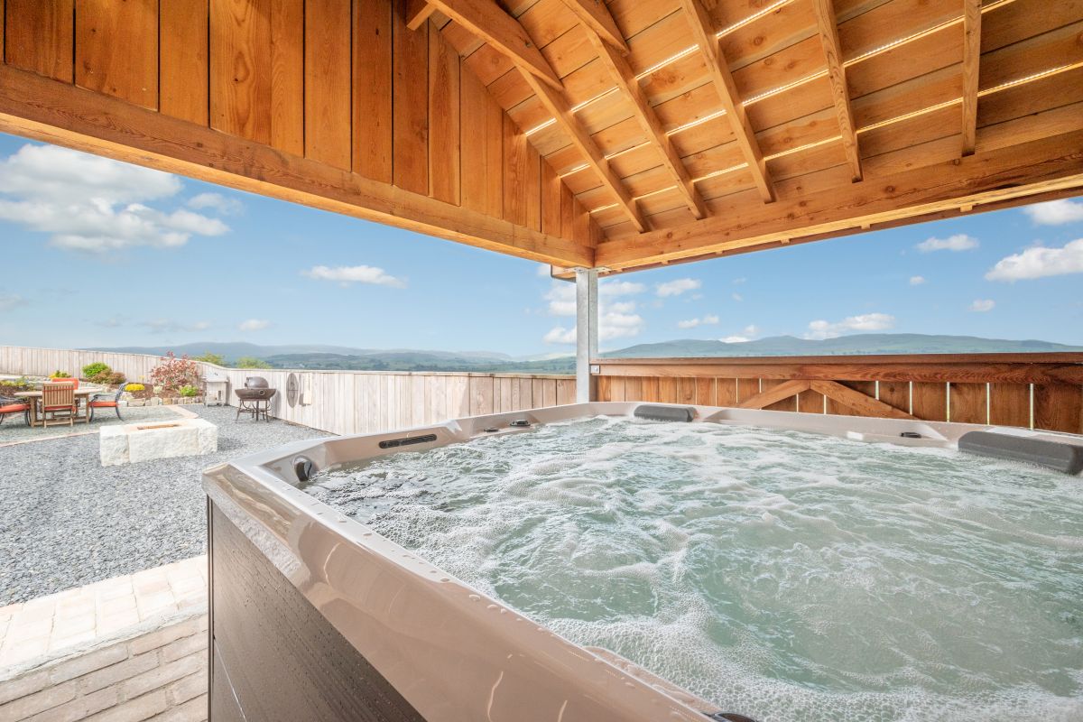
Llanbedr near Harlech
Cwm Yr Afon Cottage
Sleeps 3 · 1 bed
- Wood burner
- Dogs
Prices on the merchant site
Check dates for Cwm Yr Afon Cottage (opens the booking site in a new tab)Checked 8 Oct
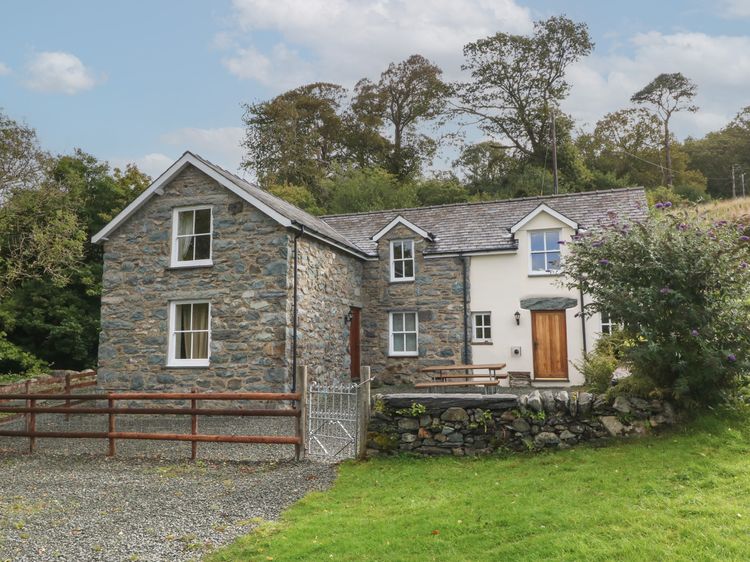
Trawsfynydd, near Blaenau Ffestiniog, North Wales
Ynys Cadno
Sleeps 6 · 3 beds
- Hot tub
- Wood burner
- No dogs
Talsarnau, near Porthmadog, North Wales
Dwyryd Estuary View
Sleeps 8 · 4 beds
- Hot tub
- No dogs
from £1,485 / week
Check dates for Dwyryd Estuary View (opens the booking site in a new tab)Checked 5 Oct
Distances, ascent and times here are planning figures taken from published sources, not a route description to navigate by. Take a map and check the forecast. We do not publish conditions, because nothing on this page is updated often enough for you to trust it on the day.