Rhinog Fawr by the Roman Steps
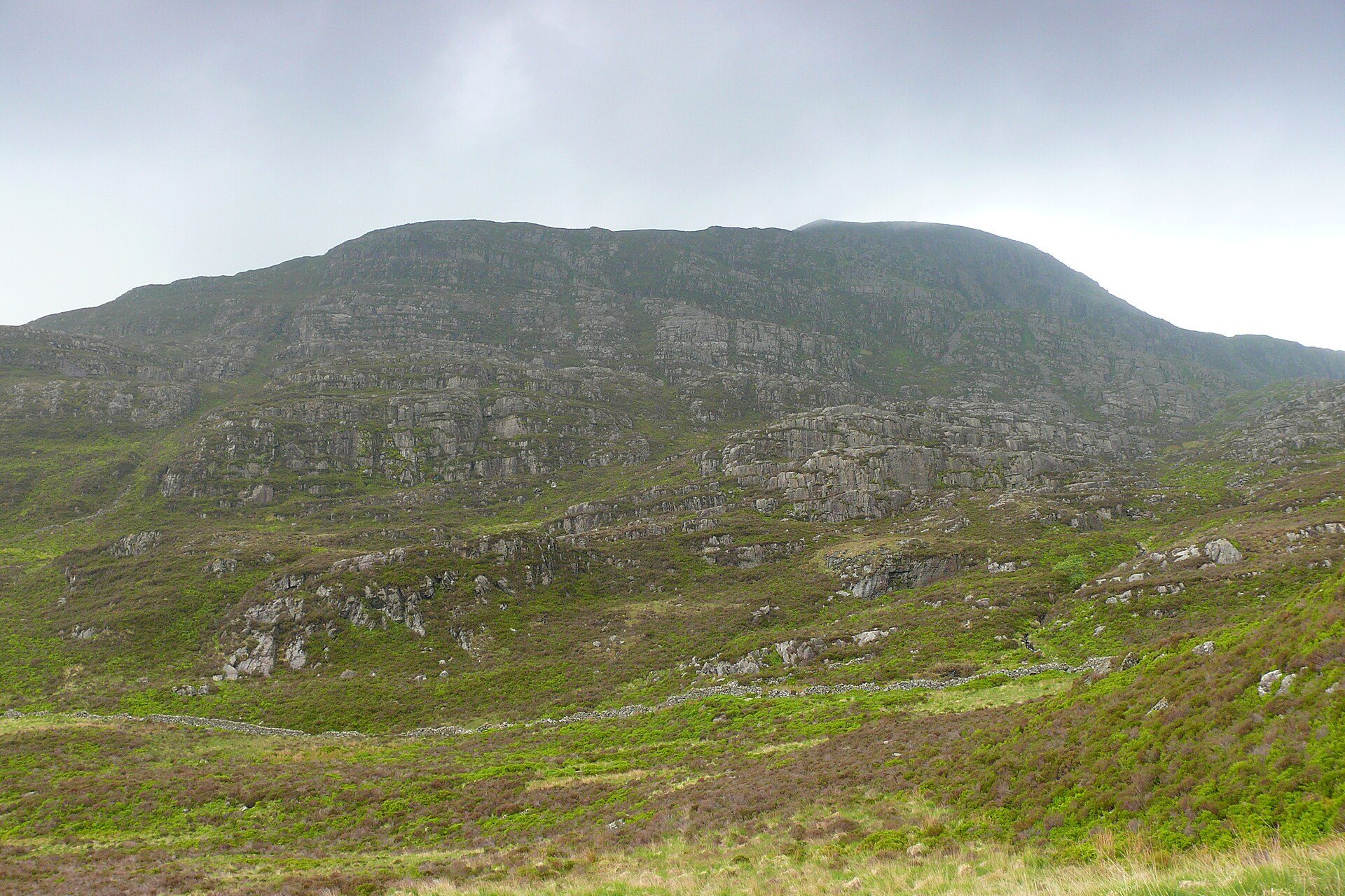
A 720m Rhinogydd summit reached by the medieval Roman Steps from Cwm Bychan and a pathless descent past Gloyw Lyn.
- 8.1 km
- 585 m up
- 4 hr 10 min moving
- Hard
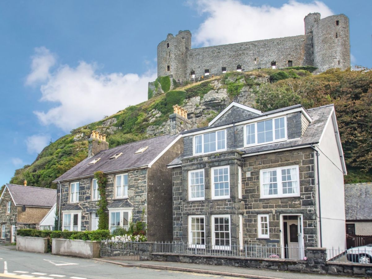
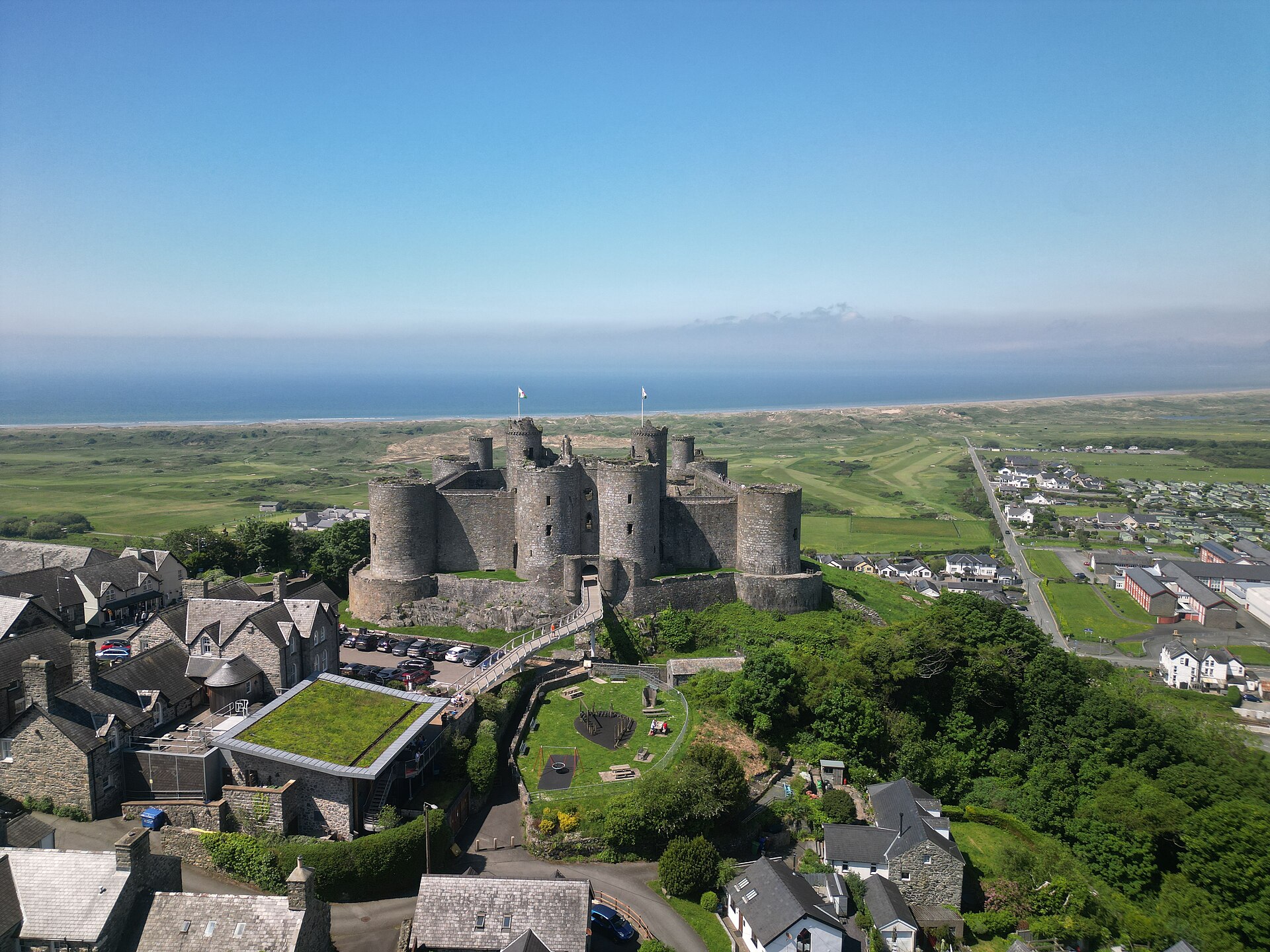
A castle on a crag, and the rough Rhinogydd behind it.
Harlech
On the Cambrian Coast Line, at a level crossing on the A496 in the centre of the town.
6
230
Harlech is a community of 1,263 people at the 2021 census, set on Tremadog Bay with the Rhinogydd rising to the east. Edward I began the castle in 1283, on a rocky spur almost 200 feet high that once stood much closer to the sea than it does now, and Cadw looks after it today as part of the Castles and Town Walls of King Edward in Gwynedd World Heritage Site, inscribed in 1986. Owain Glyndŵr took it at the end of 1404 and held a parliament there in 1405, and a month-long siege in 1468 is the one credited with inspiring “Men of Harlech”.
Harlech is the base for the Rhinogydd, which Wikipedia describes as a rugged range, rocky and heather-covered at its northern end around Rhinog Fawr, and less visited than the northern Eryri peaks for that reason. Rhinog Fawr, at 720m, lies about 6km from the town in a straight line, against about 16km from Barmouth. The Roman Steps that lead up it are a medieval packhorse trail, which Wikipedia says ran from Chester to Harlech Castle, so the walk follows a road that began at this door. The town also has a railway station on the Cambrian Coast Line, which matters less for the hills than for getting to the valley they start from.
The hill walks do not start in Harlech. The Roman Steps begin at the Cwm Bychan car park, reached by a minor road from Llanbedr, so plan on driving. Cnicht from Croesor, the other hill day within reach, is about 14km away in a straight line on the far side of the estuaries to the north, and Beddgelert is the base that suits it better. What starts from the town itself is the castle, the beach and the dunes below it, which fill the rest day between two hard ones.
Harlech station sits at a level crossing on the A496 in the centre of the town, and Transport for Wales runs the Cambrian Coast Line through it, with trains towards Porthmadog and Pwllheli in one direction and Barmouth and Machynlleth in the other. The local buses are run by Lloyds Coaches, to Porthmadog and Barmouth. The A496 is the road in. Check Traveline Cymru before relying on any bus for a walk.
Anyone who wants a mountain from the door will be disappointed, and so will anyone without a car who wants the Rhinogydd, since the path starts miles from the nearest station. Rhinog Fawr is graded hard, and the ground beyond the col is pathless. For Cadair Idris, the Mawddach estuary and a station within a few minutes’ walk of the beach, Barmouth is the better choice; for the Glaslyn side, Beddgelert.
The A496 runs through the town, north to Porthmadog and south to Barmouth.
A 720m Rhinogydd summit reached by the medieval Roman Steps from Cwm Bychan and a pathless descent past Gloyw Lyn.
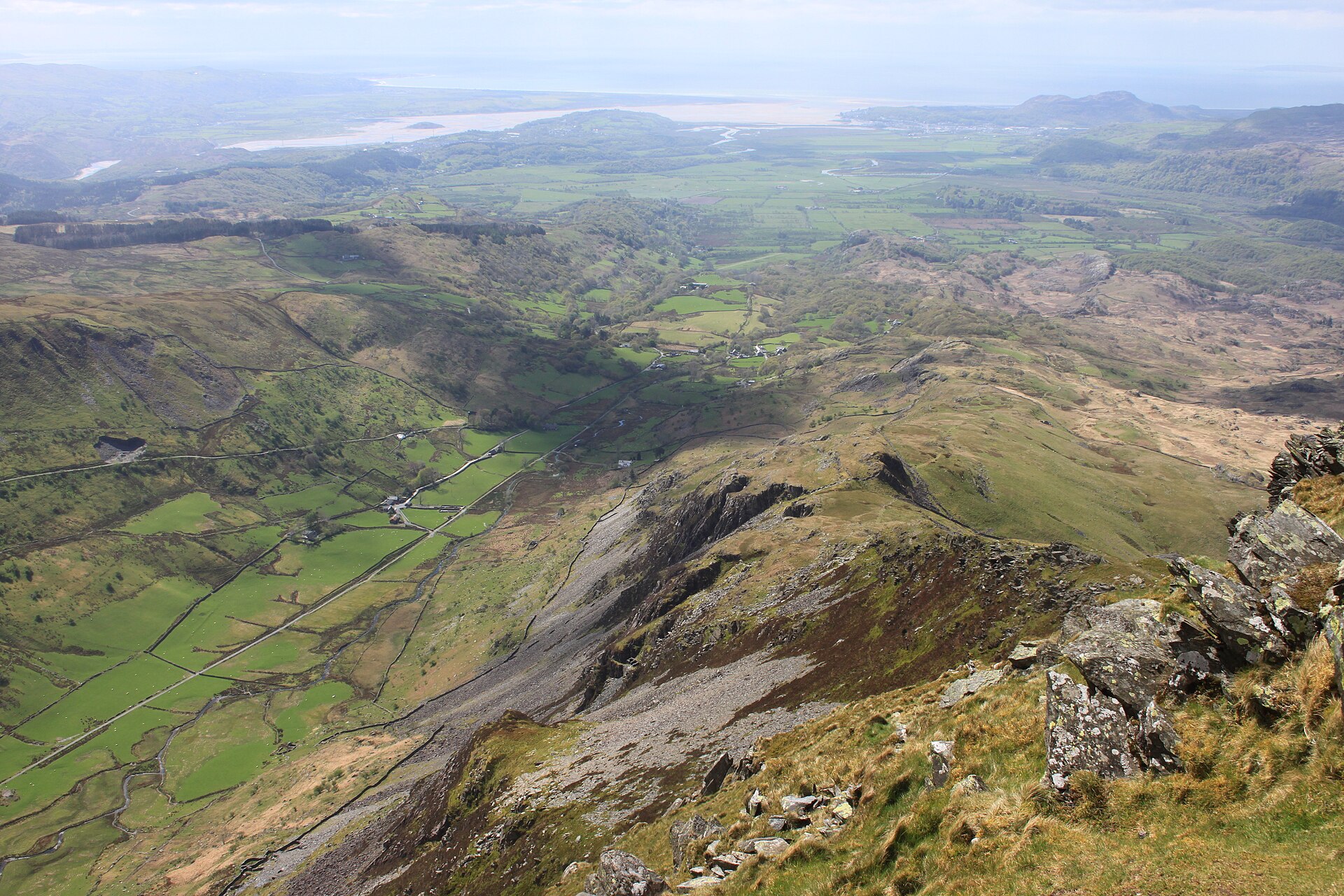
A pyramid-shaped summit above Croesor, nicknamed the Welsh Matterhorn, climbed by a steep path with short scrambles near the top.
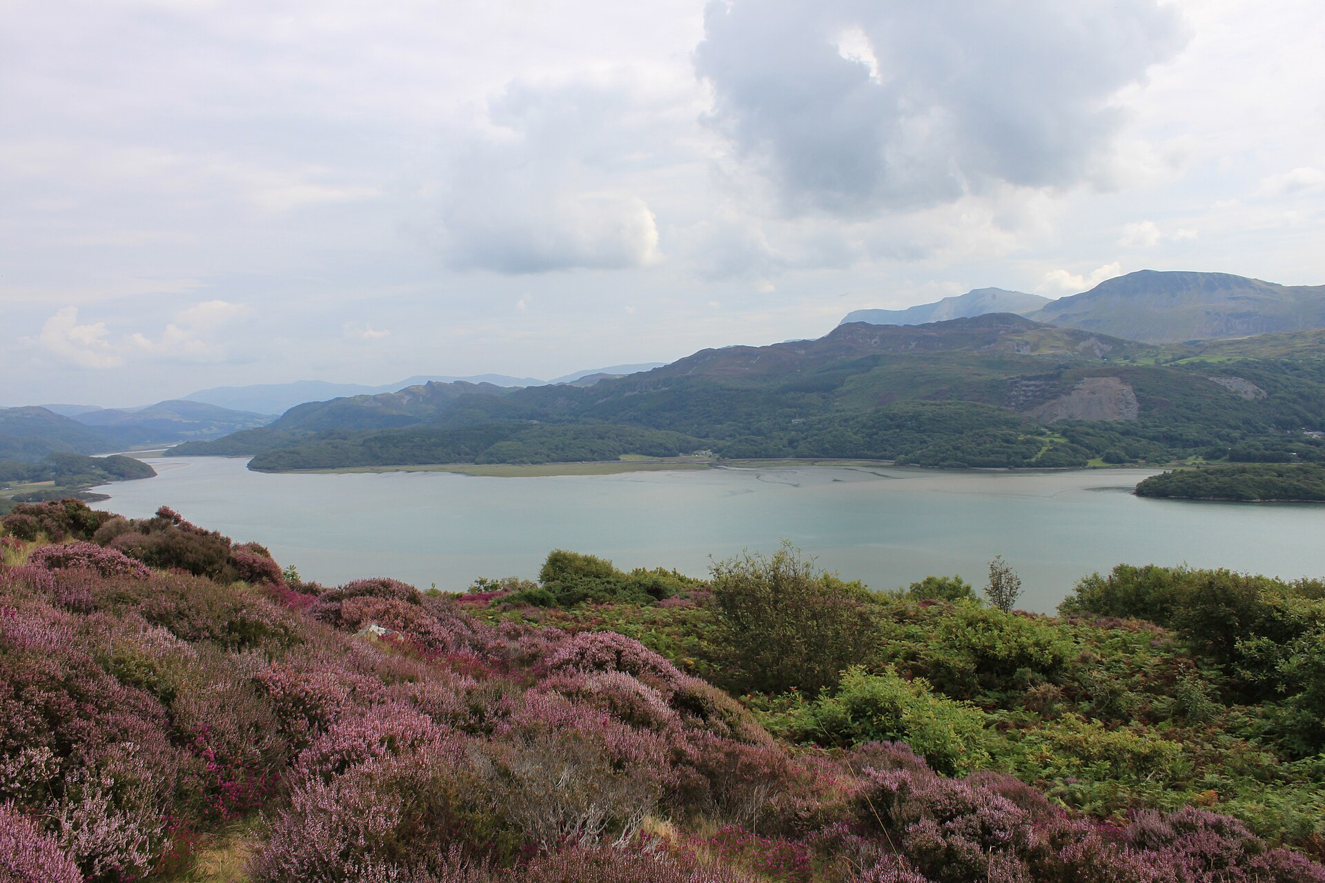
A viewpoint walk above Barmouth through woodland, past an old Victorian garden, to a view over the Mawddach estuary and Cadair Idris.
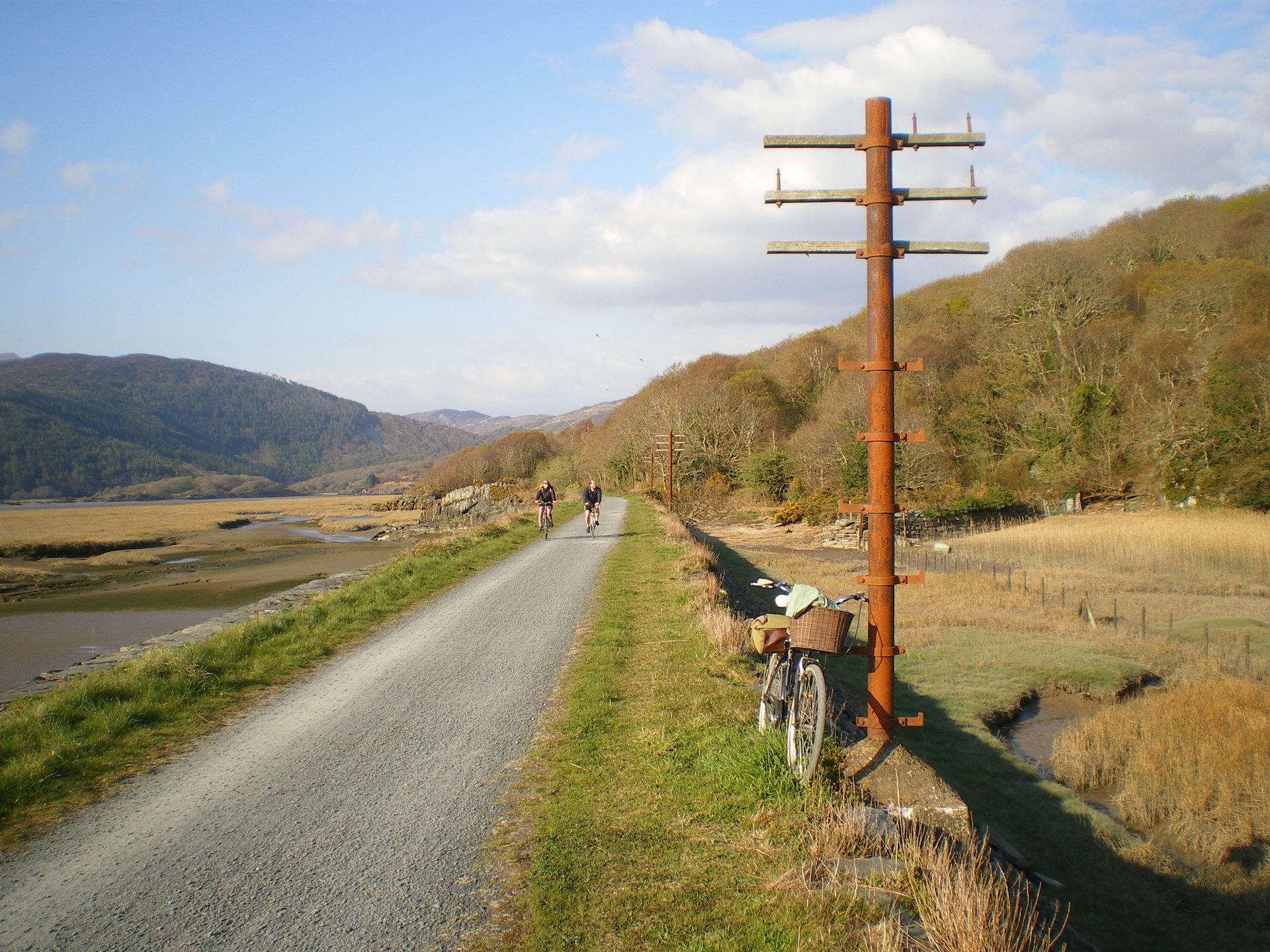
A flat, fifteen-kilometre trail along a disused railway line beside the Mawddach estuary, linking Barmouth to Dolgellau.
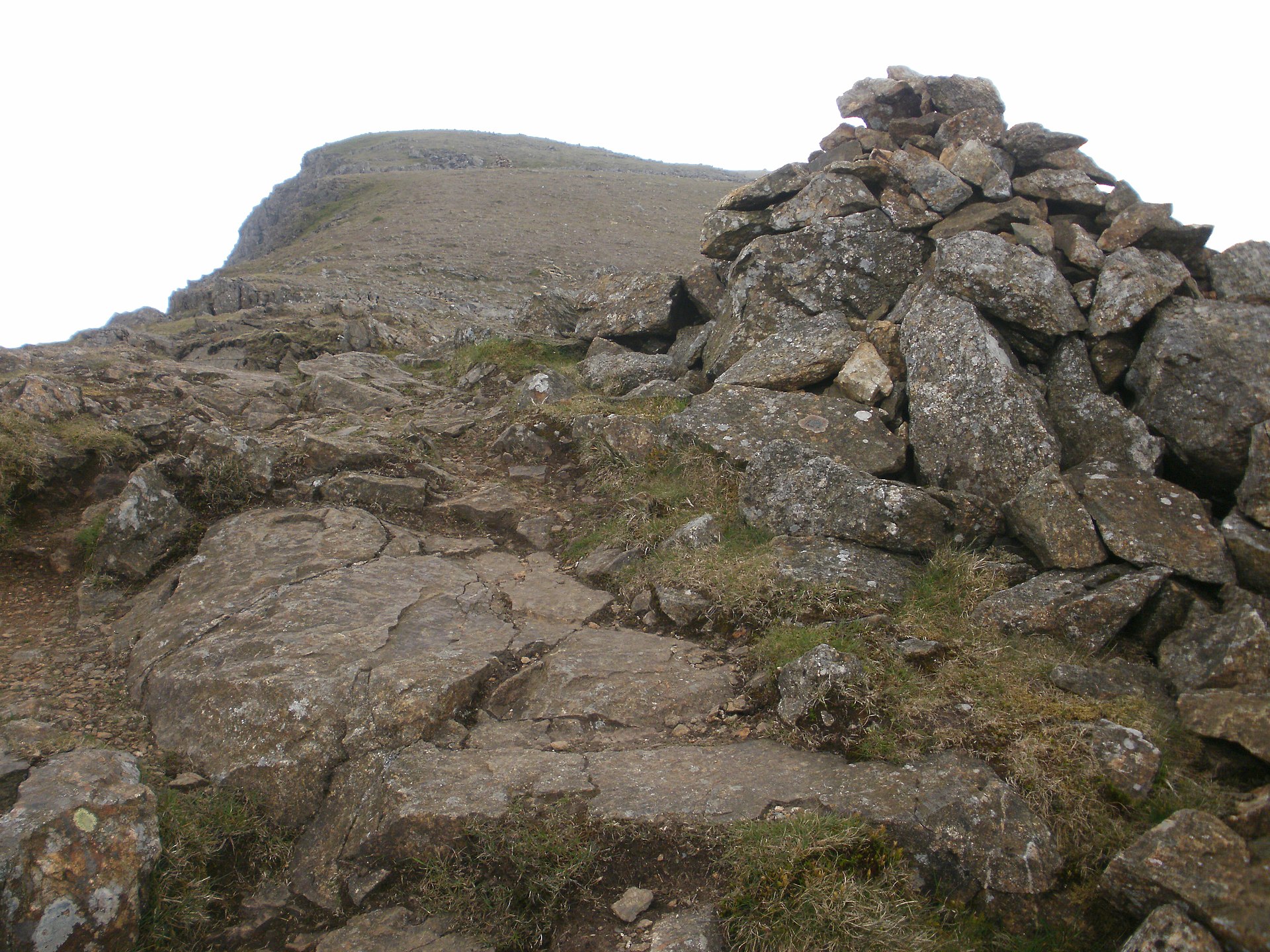
A steady mountain ascent directly above Beddgelert, quieter than Yr Wyddfa, with views over Cardigan Bay and the Nantlle Ridge.
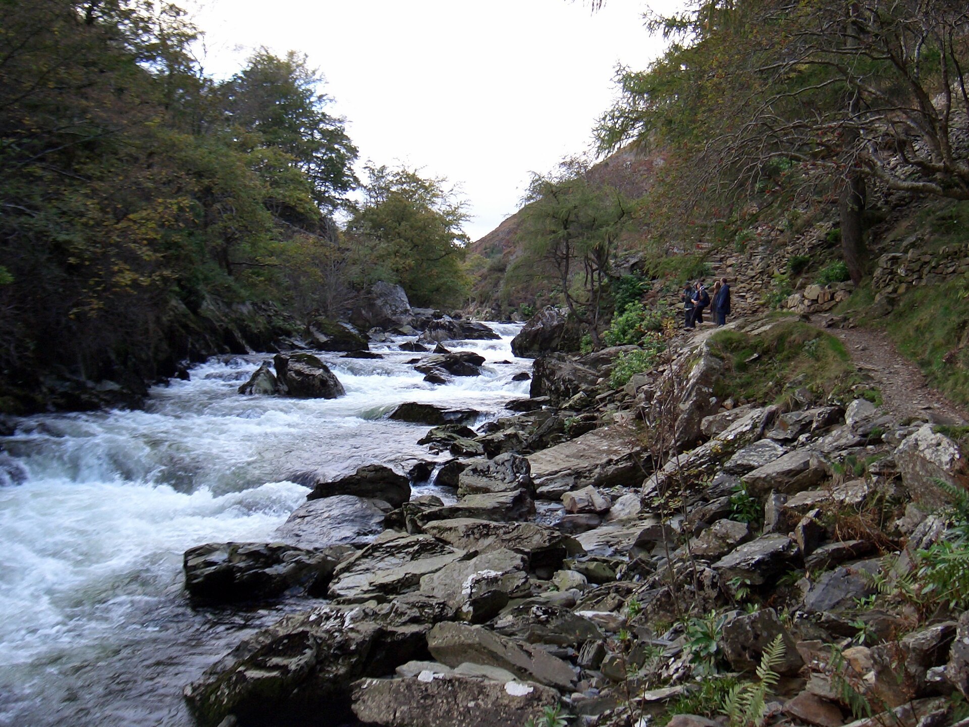
A riverside path through the wooded gorge of the Afon Glaslyn, 5km there and back from Beddgelert, and one of the easiest outings in the village.
Booking through these links earns a commission. The price is the same.
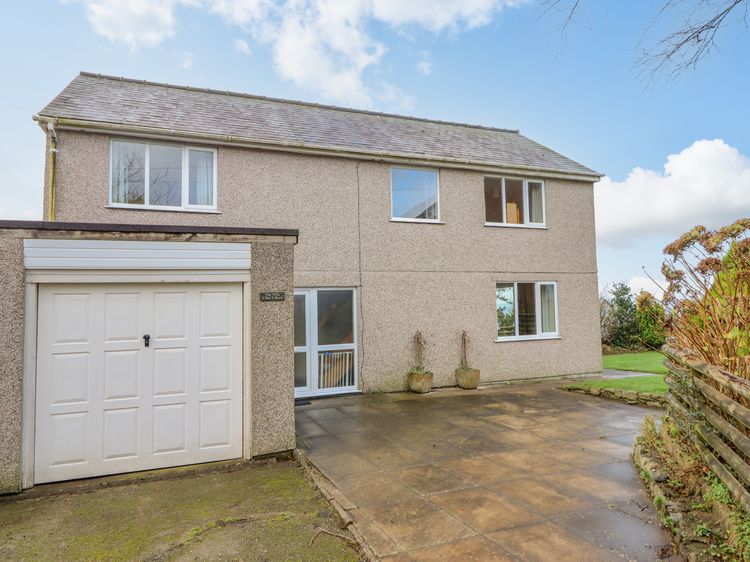
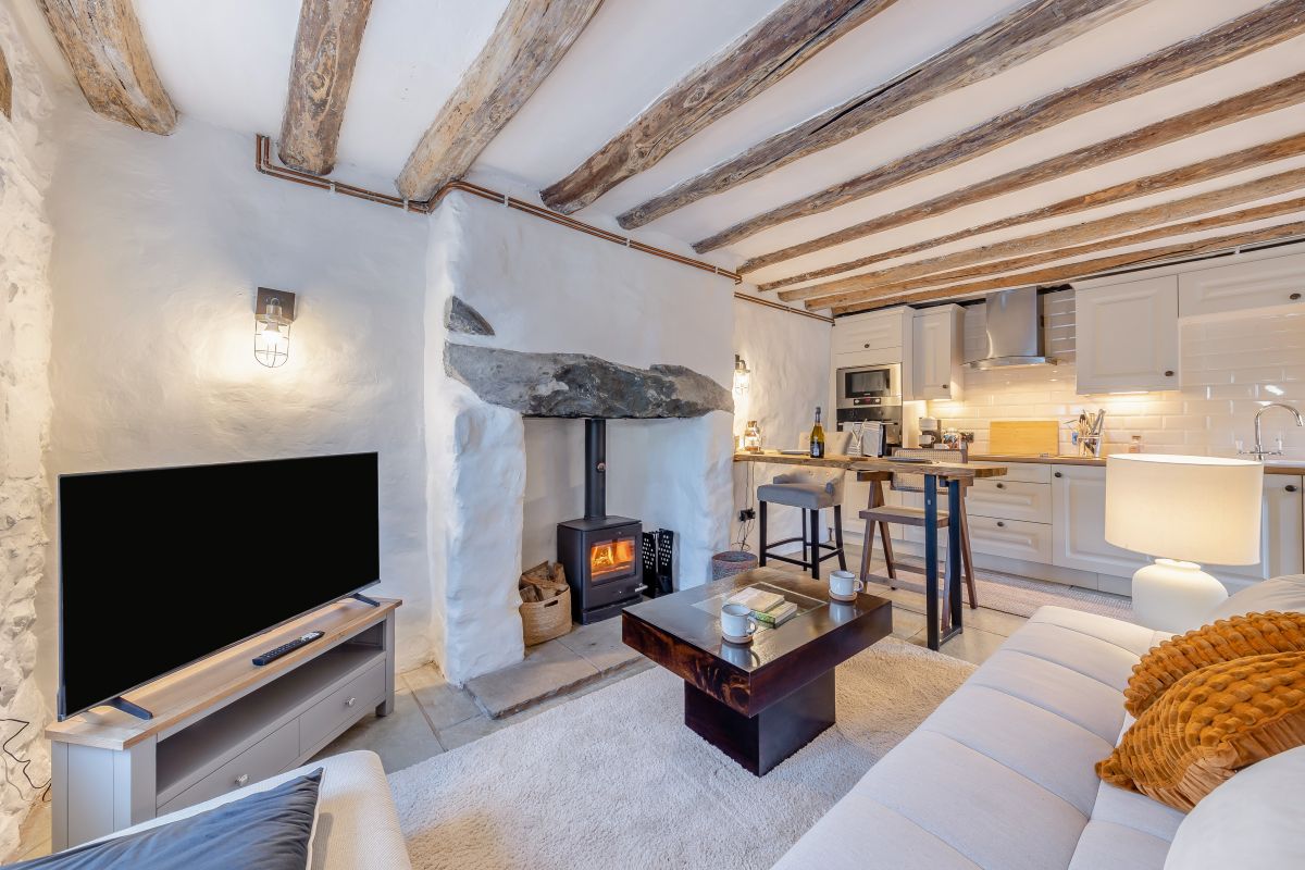
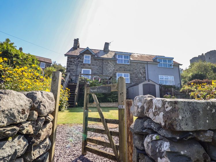
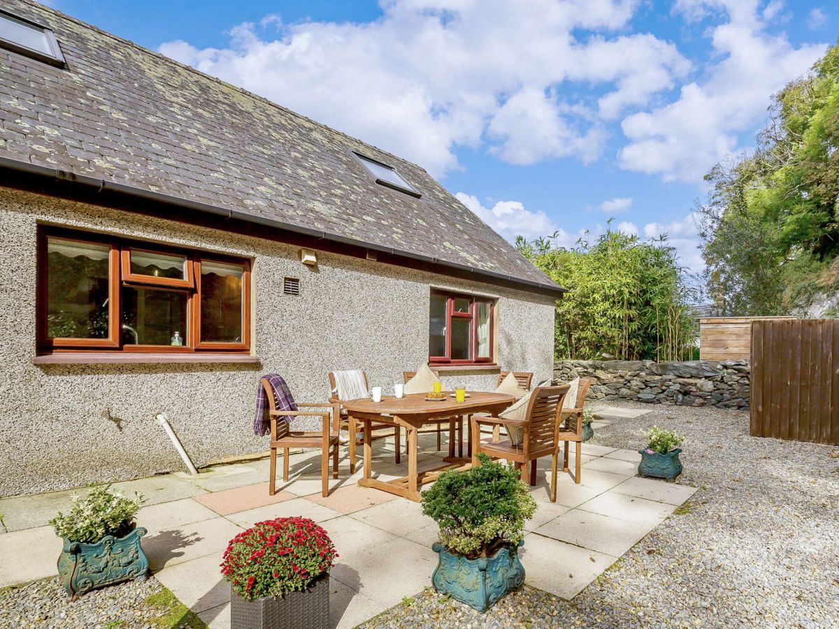
Harlech, North Wales
Sleeps 12 · 6 beds
from £1,573 / week
Check dates for Godre'r Graig (opens the booking site in a new tab)Checked 5 Oct