Meall Fuar-mhonaidh above Loch Ness
- Distance
- 9 km
- Ascent
- 535 m
- Time
- 4 hr
- Difficulty
- Moderate
- Summit
- 699 m
- Shape
- There and back
- Parking
- Free
Start: Car park just before the end of the Bunloit road from Drumnadrochit
Grid ref: NH 492238
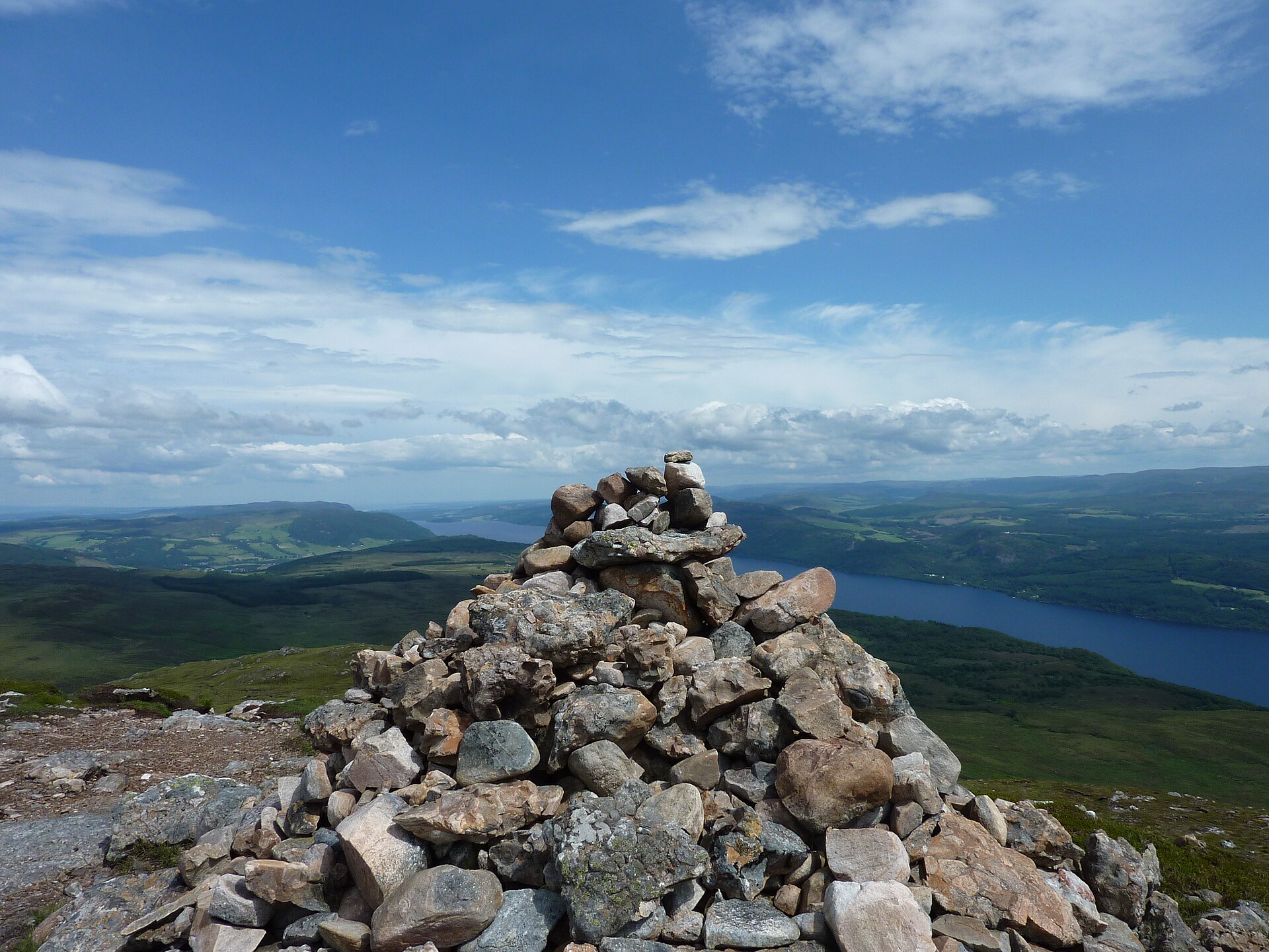
Meall Fuar-mhonaidh, the rounded hill on the west shore of Loch Ness south-west of Drumnadrochit, is the most prominent summit around the loch: 699m, a Graham and a Marilyn with 234m of prominence, and visible from most of the loch’s length. Walkhighlands’ banner photograph, taken from Dores, shows it centre right; the view from its top, down the Great Glen to Ben Nevis one way and along the whole of Loch Ness the other, is the reason to climb it.
The route starts from a car park just before the end of the Bunloit road out of Drumnadrochit, at NH 492238; the road continues only to a pottery, whose parking is its own. A signed hill footpath follows a small stream, crosses a track through two gates and climbs through birch and hazel woodland, steeply for a stretch, to a gate in a fence, then leaves the trees for the moor, crosses the deer fence by a tall stile and gains the ridge. Walkhighlands describes the path as clear throughout but eroded, rough and boggy on the upper slopes, and very steep for the last hundred metres to a cairn that is not the summit; the true top is a further cairn across a shallow dip on the knobbly plateau beyond. Ordnance Survey Explorer 416 covers it, and there is no public transport to the start.
At 9km and 535m of ascent, allow three to five hours there and back by the same path. It suits a walker based anywhere on Loch Ness who wants one proper hill with the loch laid out below, and it is the obvious first summit from Drumnadrochit or Invermoriston. Walkers who want dry feet should leave it, because the ridge is boggy in places, and so should anyone seeking a first hill for young children, because the last hundred metres are very steep. For Glen Affric’s trees instead of Loch Ness’s water, the Dog Falls circuit through Cannich keeps to waymarked forest paths with half the climb.
Underfoot
A clear path throughout, through birch and hazel woodland, then eroded, rough and boggy on the moorland ridge, and very steep for the last hundred metres.
Stay within reach of the start
Booking through these links earns a commission. The price is the same.
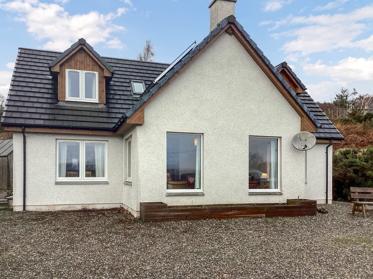
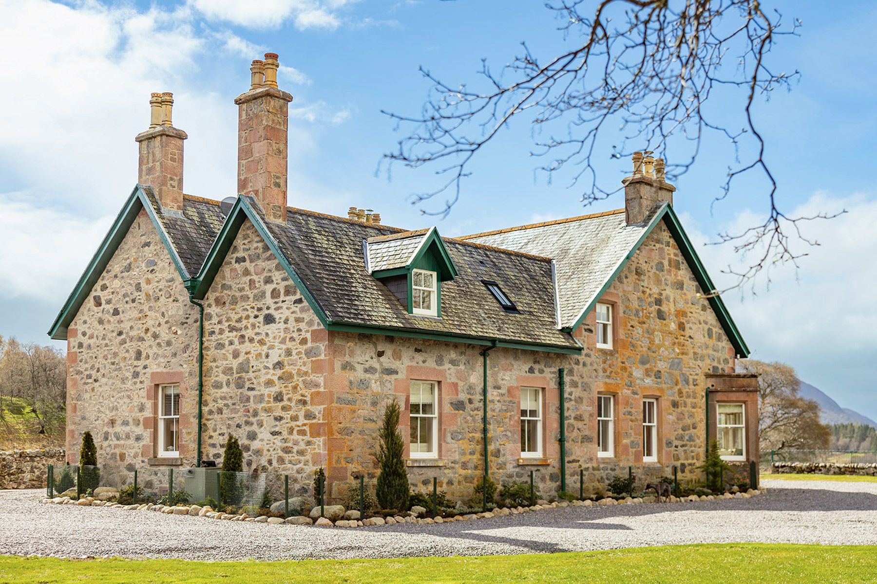
Drumnadrochit
Shedfield Cottage
Sleeps 7 · 4 beds
- Dogs
from £861 / week
Check dates for Shedfield Cottage (opens the booking site in a new tab)Checked 24 Oct
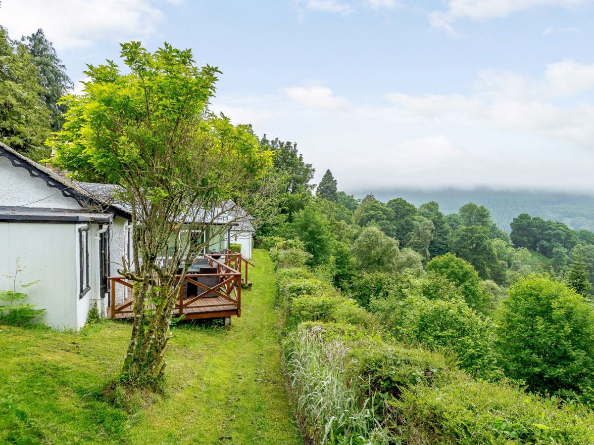
Drumnadrochit, near Inverness, Northern Scotland
Dhivach Lodge - Drumnadrochit
Sleeps 10 · 5 beds
- Wood burner
- Dogs
from £1,825 / week
Check dates for Dhivach Lodge - Drumnadrochit (opens the booking site in a new tab)Checked 5 Oct
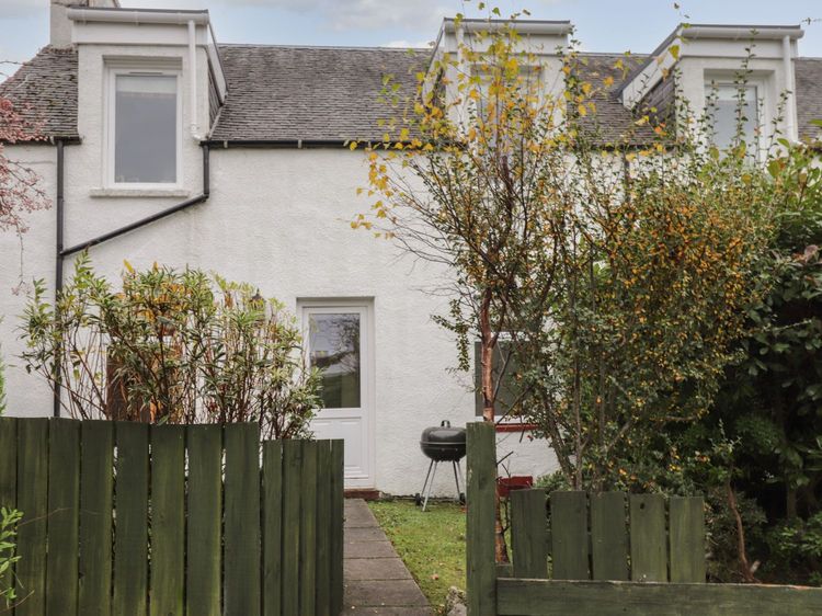
Drumnadrochit
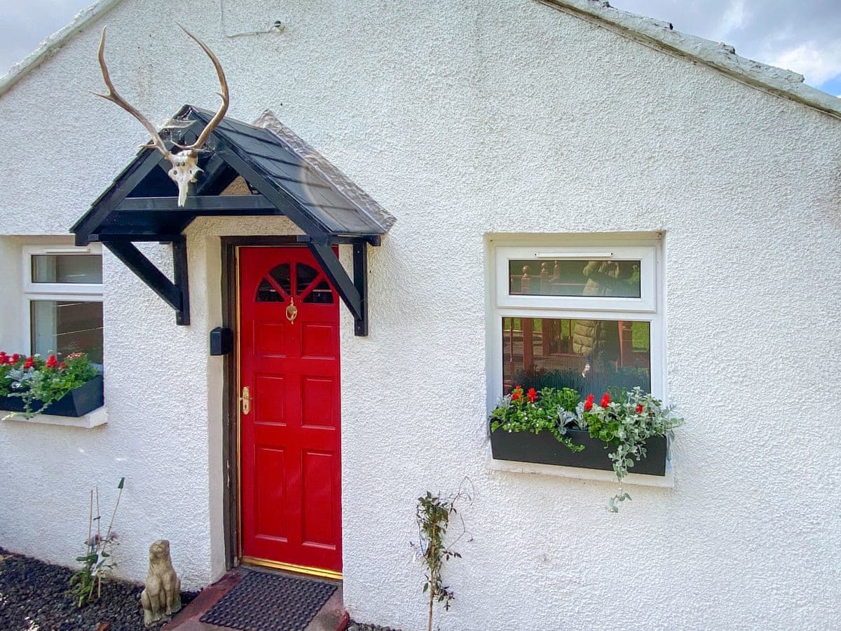
Riverside Cottage
Sleeps 2 · 1 bed
- Dogs
from £463 / week
Check dates for Riverside Cottage (opens the booking site in a new tab)Checked 24 Oct
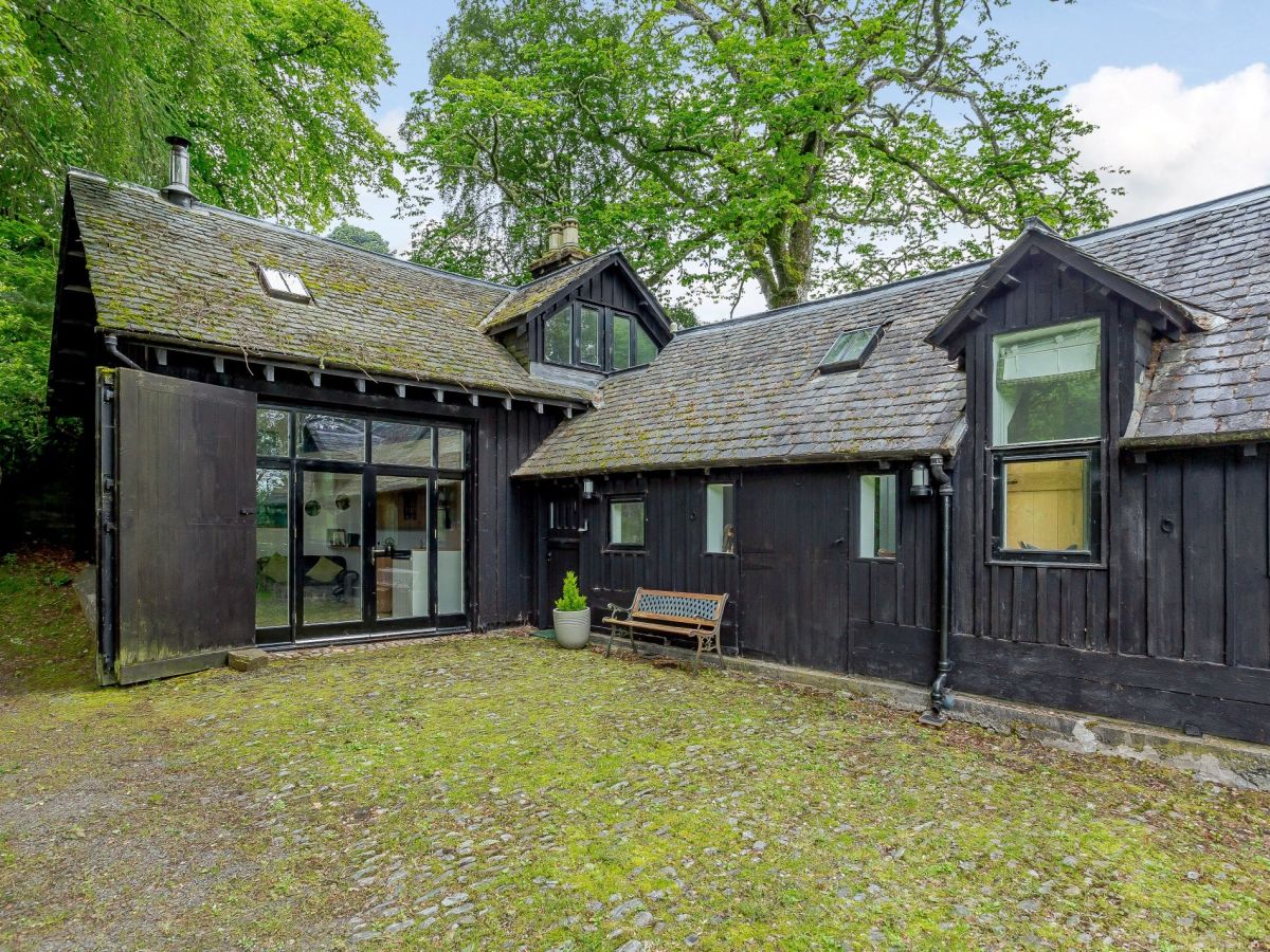
Drumnadrochit, near Inverness, Northern Scotland
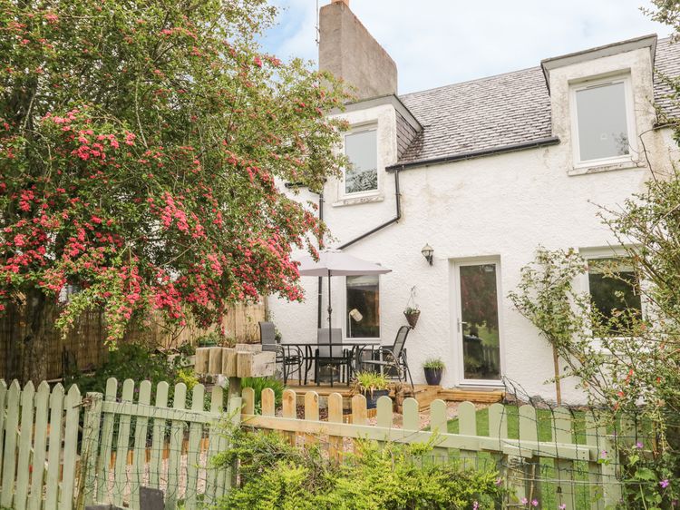
The Coach House - Drumnadrochit
Sleeps 4 · 2 beds
- Wood burner
- Dogs
from £755 / week
Check dates for The Coach House - Drumnadrochit (opens the booking site in a new tab)Checked 5 Oct
Distances, ascent and times here are planning figures taken from published sources, not a route description to navigate by. Take a map and check the forecast.