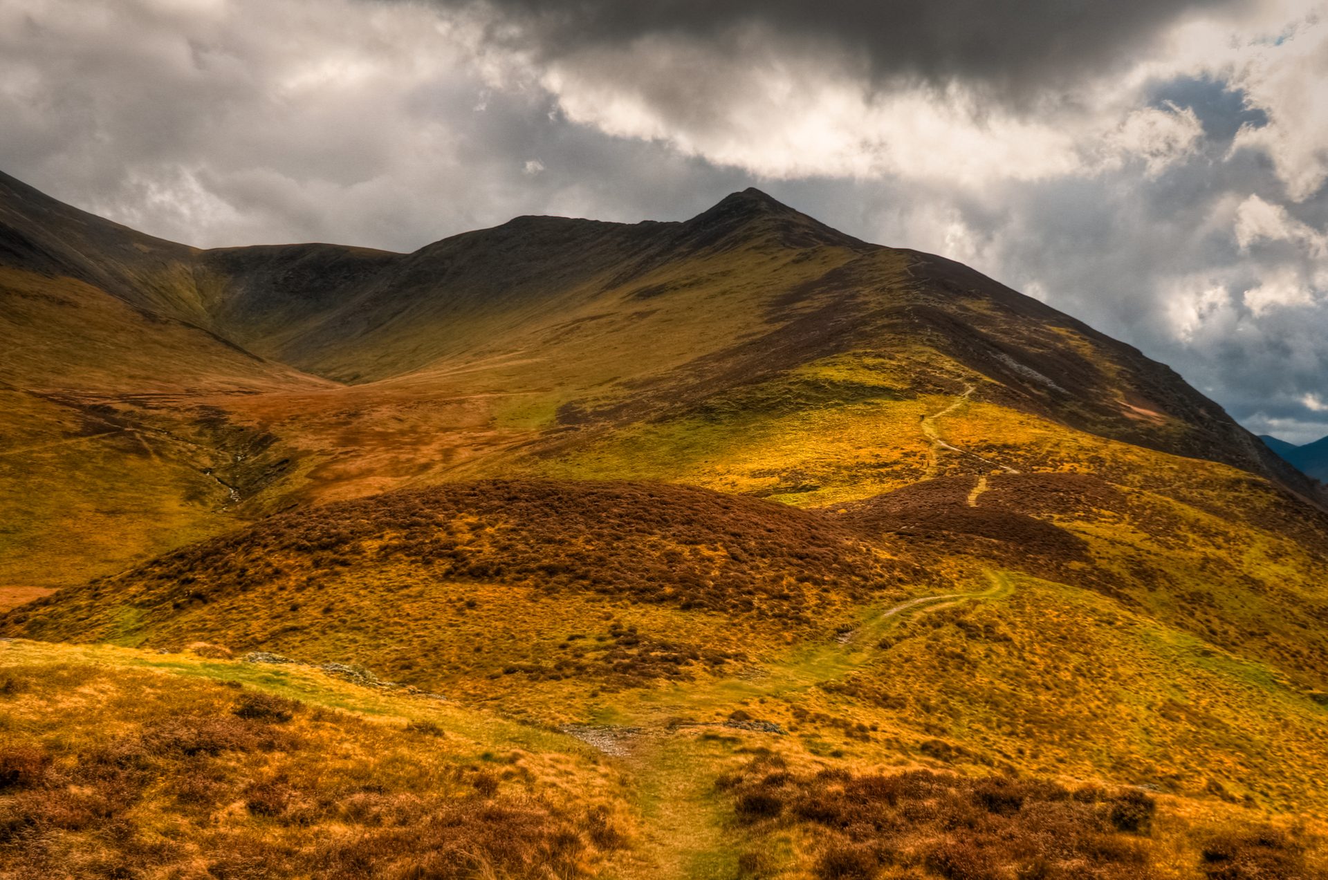
Skiddaw from Latrigg
Near Keswick, Lake District
- Distance
- 10 km
- Ascent
- 650 m
- Difficulty
- Moderate
- Summit
- 931 m
- Shape
- There and back
- Dogs
- Yes: on a lead near sheep, with little water on the route
Start: Gale Road car park, Latrigg
Grid ref: NY 280253
Who this suits, and who it does not
514 places to stay within 12 km, from £330 a week See themSkiddaw stands at 931m above Keswick, traditionally counted as England’s fourth-highest summit, built from the Ordovician rock commonly known as Skiddaw Slate.
The route starts well above the town at the Gale Road car park on Latrigg’s shoulder, joining a stretch of the Cumbria Way before branching off past the Hawell Monument, a memorial to two Skiddaw shepherds, Edward and Joseph Hawell of Lonscale, with a third Hawell name added to its base later. From there the path climbs steadily up Jenkin Hill in a series of engineered zigzags, re-laid with an inverted-soil technique to control erosion on the mountain’s main path, before reaching the broad summit ridge and its four tops: South Top, Middle Top, the true summit at High Man, marked by a trig column, and North Top beyond it.
From Gale Road the climb is 5km and 648m of ascent by Wainwright Routes’ count, about two hours twenty minutes, and the usual return reverses it, around 10km in all; a walker starting from the town centre covers far more. WalkLakes lists sheep on the route and little water for a dog, and the Lake District National Park asks that dogs be kept on a lead near livestock. It suits reasonably fit walkers and older children wanting England’s fourth-highest summit without any scrambling, but the ridge is broad, open and exposed to wind with no shelter, which rules it out for young children or anyone wanting a short, sheltered outing. For a lower, shorter ridge walk from the same town, Catbells above Derwentwater asks about three hours; for a steeper mountain with famous scrambles on its flanks, Blencathra stands a few miles east along the A66.
Underfoot
A wide, engineered path, re-laid with an inverted-soil erosion technique, climbs a steady series of zigzags up Jenkin Hill with no scrambling. The summit ridge carries four tops in sequence, South, Middle, High Man and North, the trig column standing on High Man.
Stay within reach of the start
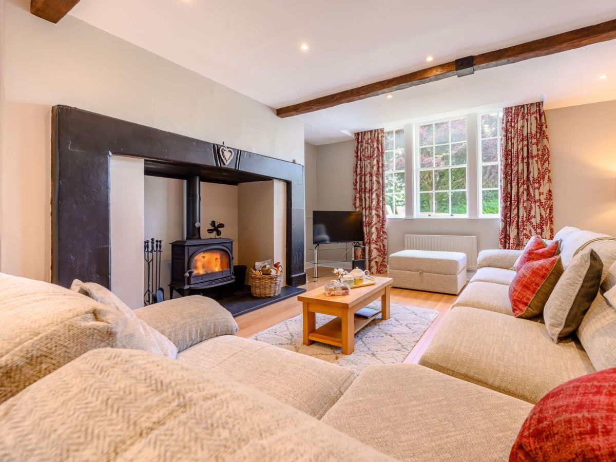
Keswick, Cumbria
Magnolia
Sleeps 4 · 2 beds
1.4km from the start of this walk
- Wood burner
- No dogs
from £734 / week
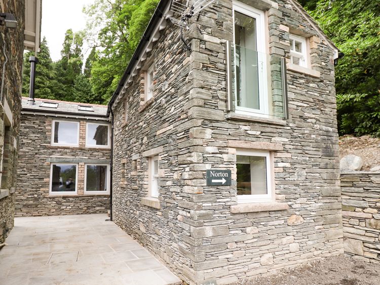
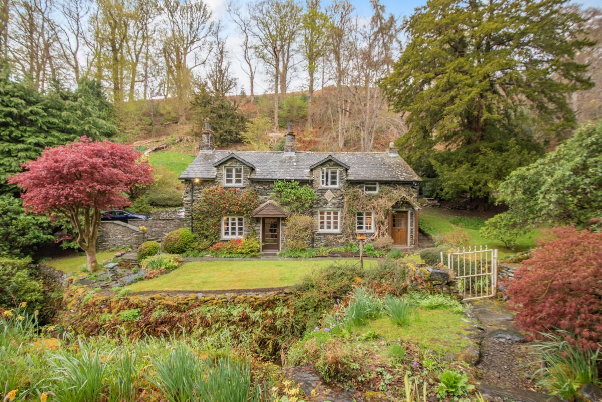
Applethwaite, near Keswick, Cumbria
The Ghyll
Sleeps 5 · 3 beds
1.4km from the start of this walk
- Dogs
from £793 / week
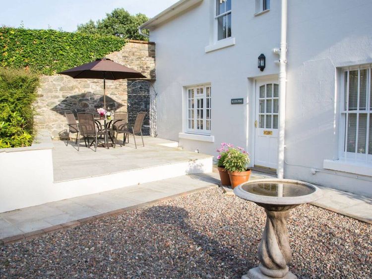
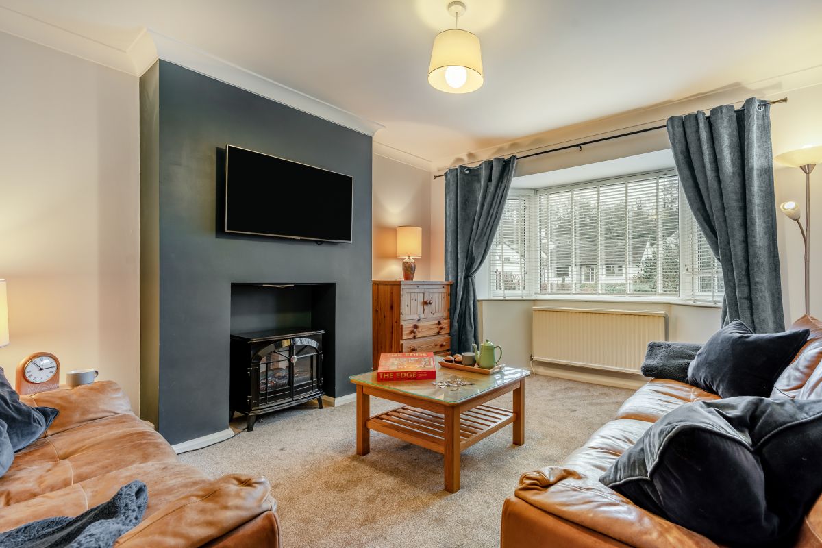
Keswick, Cumbria
Keswick House
Sleeps 5 · 3 beds
1.5km from the start of this walk
- Dogs
from £586 / week
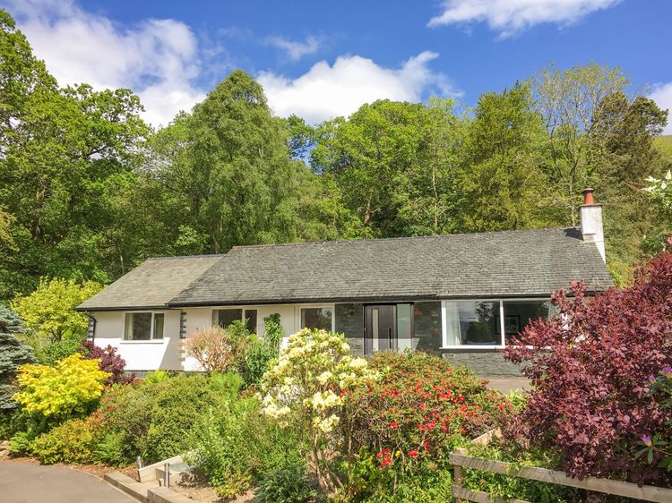

Keswick, Cumbria
3 Ridgemount
Sleeps 4 · 2 beds
1.6km from the start of this walk
- Dogs
from £574 / week
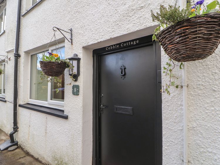
Distances, ascent and times here are planning figures taken from published sources, not a route description to navigate by. Take a map and check the forecast.