Shutlingsloe from Trentabank
Near Buxton, Peak District
- Distance
- 4.9 km
- Ascent
- 267 m
- Time
- 2 hr 20 min
- Difficulty
- Moderate
- Summit
- 506 m
- Shape
- There and back
- Parking
- Paid
Start: Trentabank car park, Macclesfield Forest
Grid ref: SJ 96177115
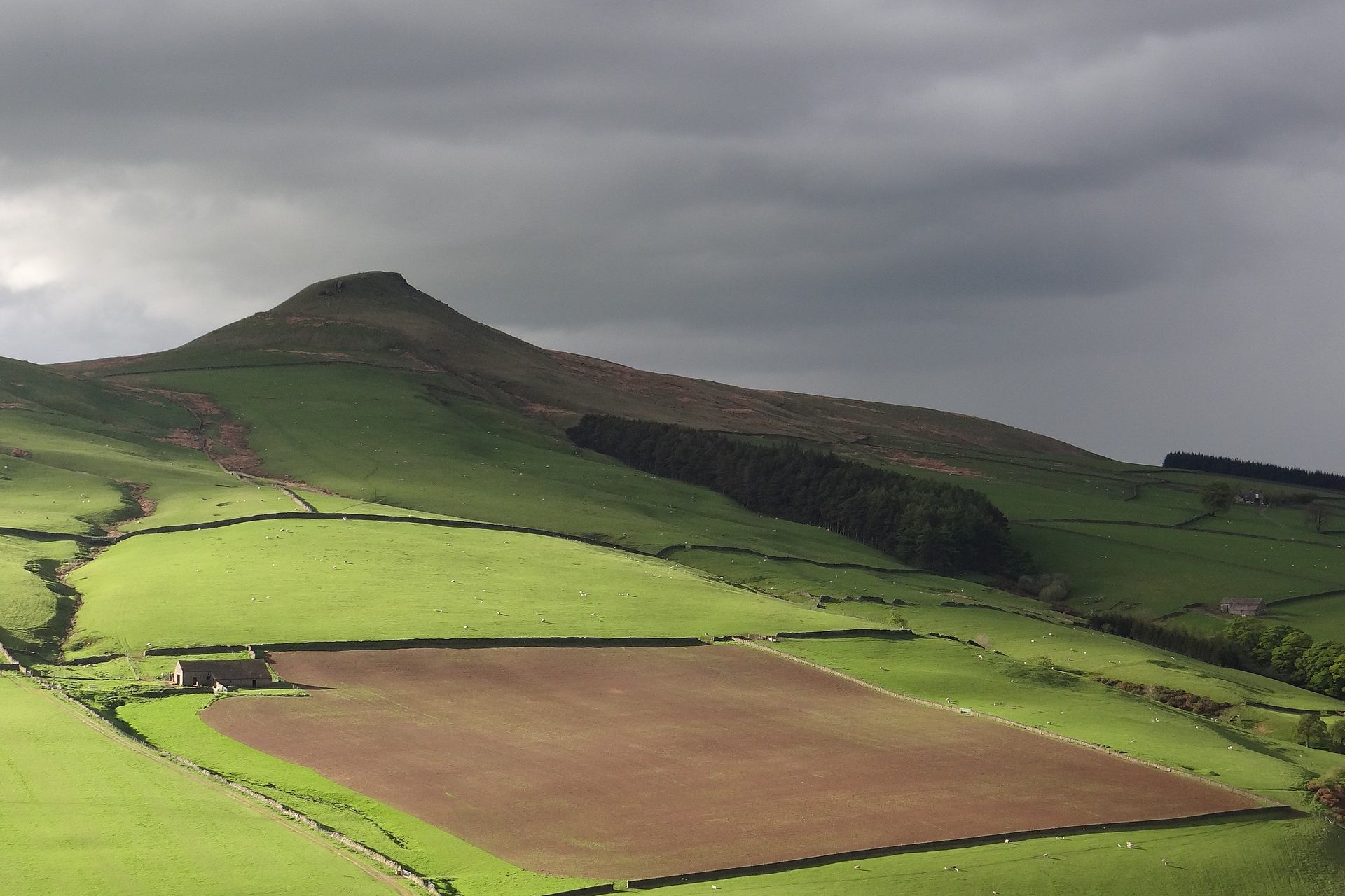
Shutlingsloe stands at 506m on the eastern edge of Cheshire, inside the Peak District National Park, and its steep-sided cone has earned the name the Matterhorn of Cheshire. Wikipedia lists it as the third-highest summit in the historic county, behind Shining Tor at 559m, and gives the name as Old English for Scyttel’s hill. The summit tor is Chatsworth Grit, and the Peak District Boundary Walk crosses the top at the highest point of its 190-mile route.
The Peak District National Park Authority runs the 35-space pay and display car park at Trentabank, on the edge of Macclesfield Forest, which Walking Britain uses as the start. The route climbs into the forest on a woodland path, leaves it for High Moor along a paved path, and then keeps a wall on the right to the summit with no further navigation. The guide names Shining Tor, the moors by the Cat and Fiddle above Wildboarclough, the Roaches and Tittesworth Reservoir among the views. The way back repeats the flagged path to the forest edge. The nearest base on this site is Buxton, around 10km away in a straight line.
Walking Britain gives 4.9km and 267m of ascent, around two hours twenty minutes, graded easy to moderate. That makes it a short outing. It suits a walker who wants a summit in an afternoon and does not suit anyone wanting a full day on the hill, for whom Win Hill from Ladybower runs to 12.2km and 485m of ascent.
Underfoot
A woodland path climbing through Macclesfield Forest, then a paved path across High Moor and a wall-side path to the summit. The return follows the same flagged path back to the forest track.
Stay within reach of the start
Everything here is inside 12 km of Shutlingsloe from Trentabank.
Booking links on these earn us a commission. The price you pay is the same either way.
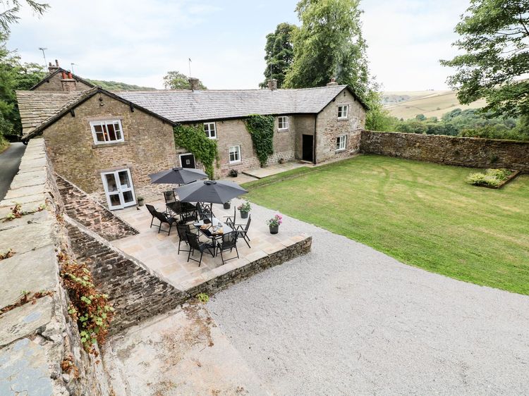
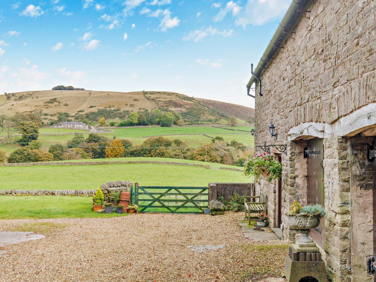
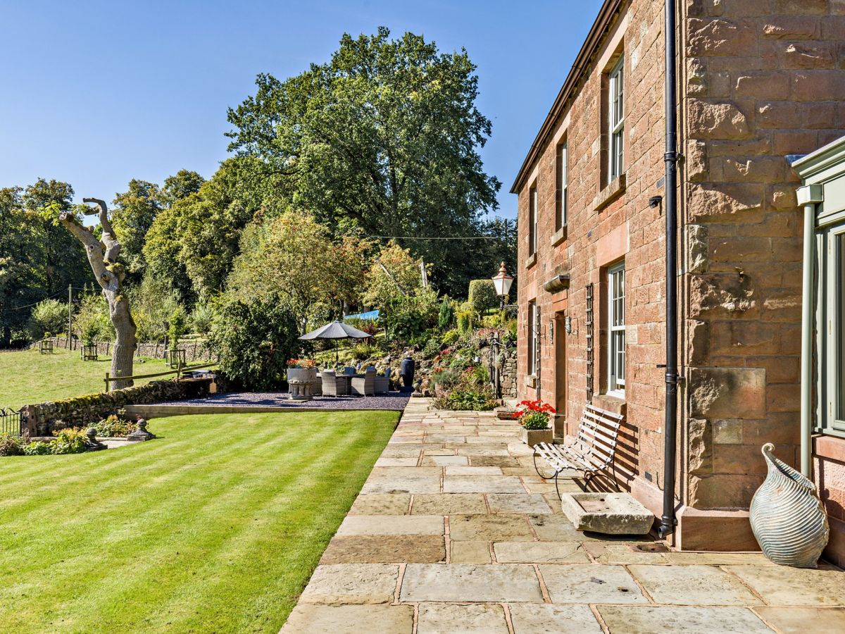
Wincle, near Macclesfield, Cheshire
Clough Brook Cottage
Sleeps 4 · 2 beds
- Dogs
from £566 / week
Check dates for Clough Brook Cottage (opens the booking site in a new tab)Checked 5 Oct
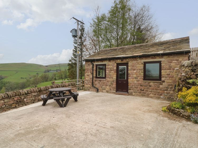
Wincle, near Macclesfield, Cheshire
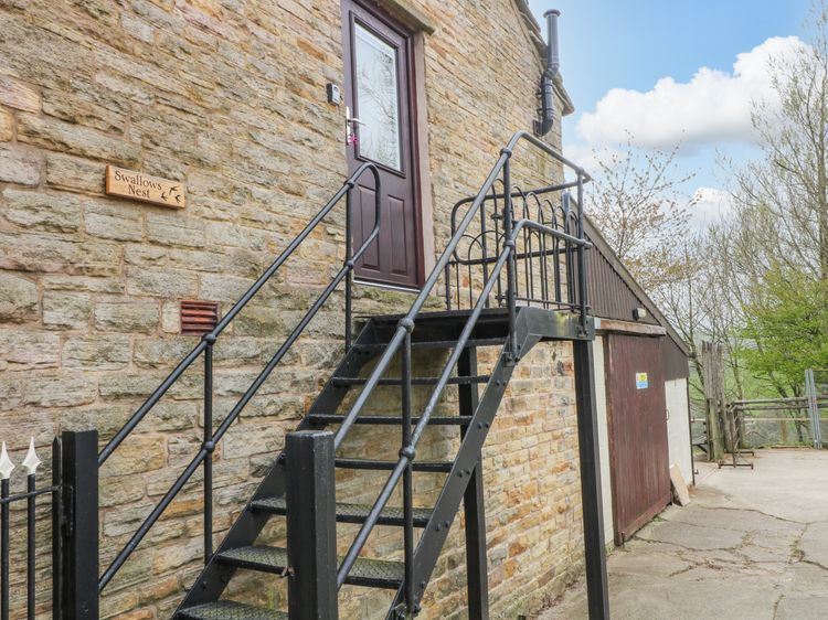
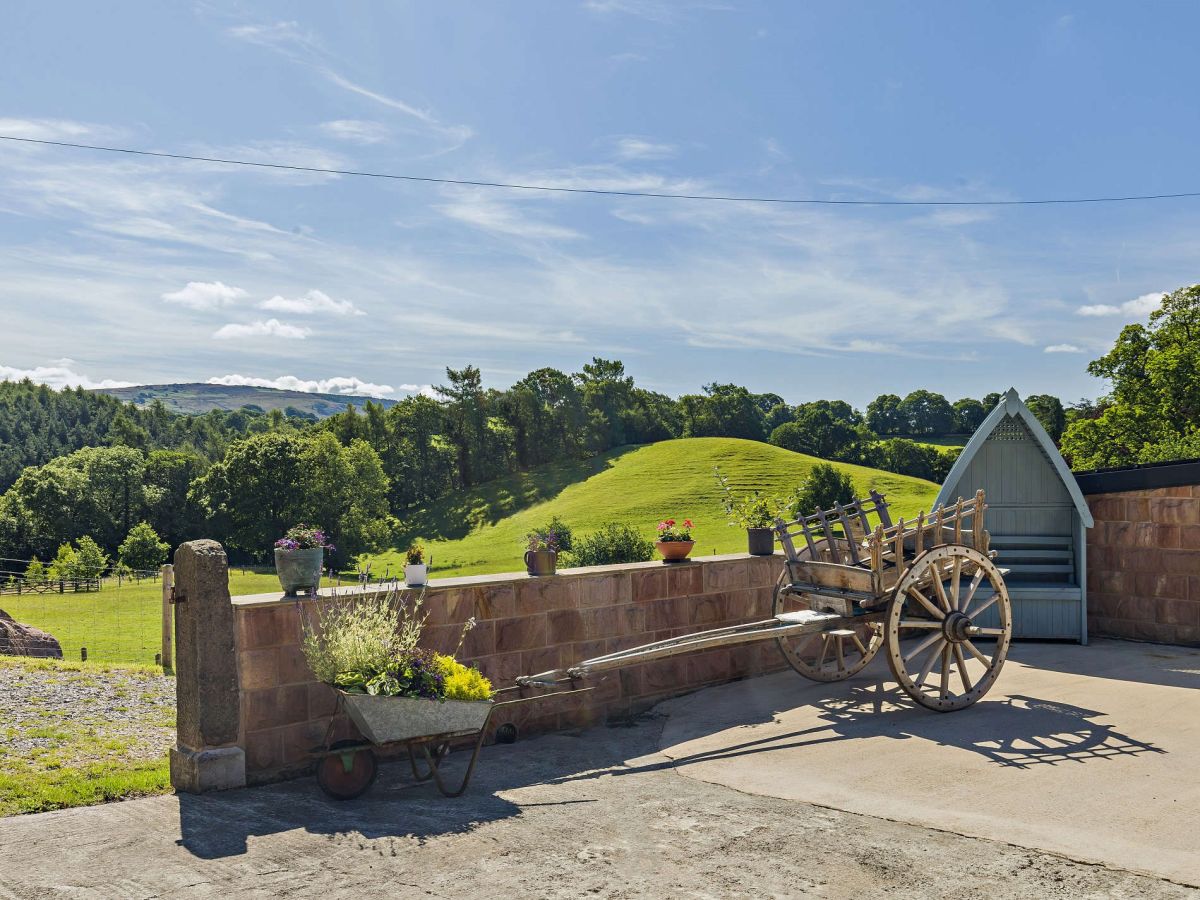
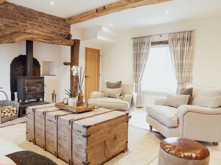
Mellor Knowl Farm
Sleeps 8 · 4 beds
- Wood burner
- No dogs
from £1,278 / week
Check dates for Mellor Knowl Farm (opens the booking site in a new tab)Checked 6 Oct
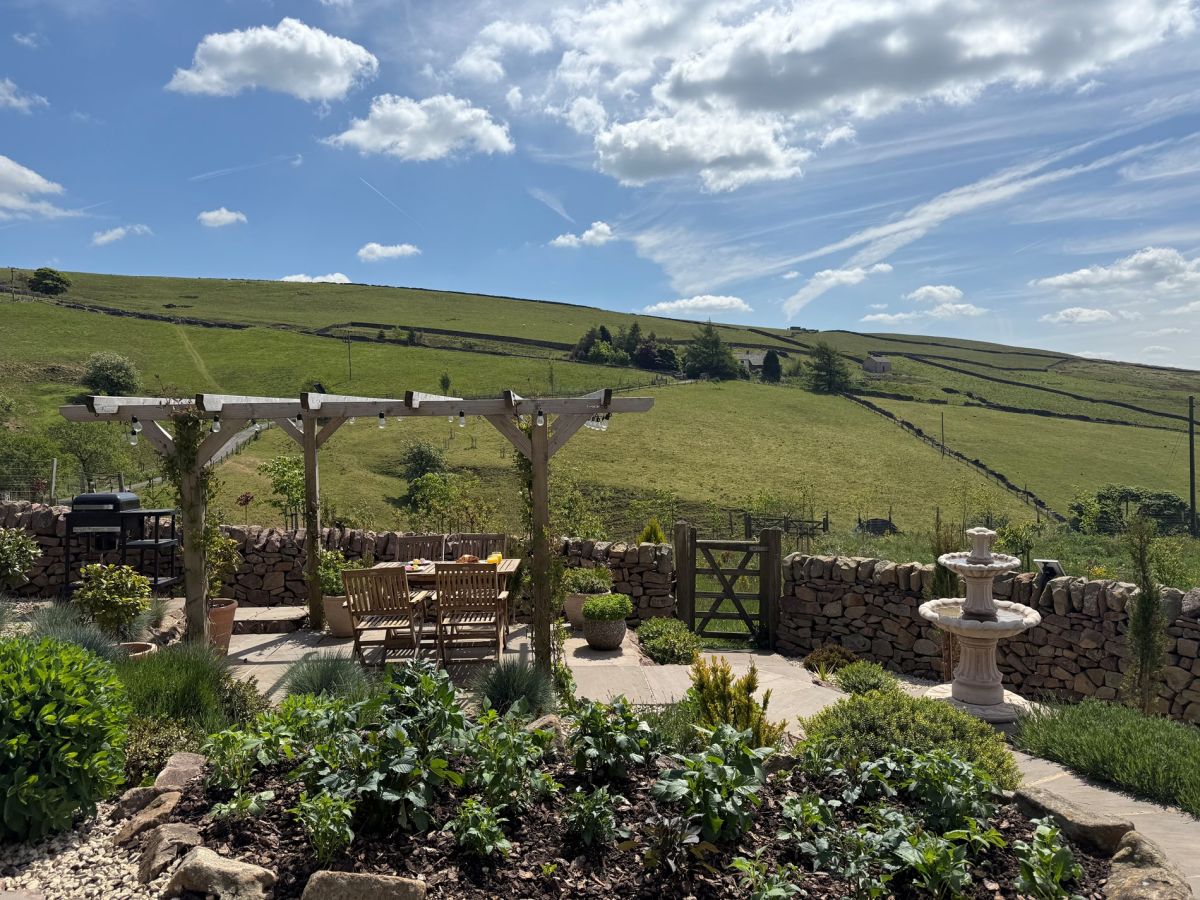
Quarnford, near Buxton, Staffordshire
The Lookout - Buxton
Sleeps 3 · 2 beds
- Wood burner
- Dogs
from £657 / week
Check dates for The Lookout - Buxton (opens the booking site in a new tab)Checked 5 Oct
Distances, ascent and times here are planning figures taken from published sources, not a route description to navigate by. Take a map and check the forecast. We do not publish conditions, because nothing on this page is updated often enough for you to trust it on the day.