Chrome Hill and Parkhouse Hill
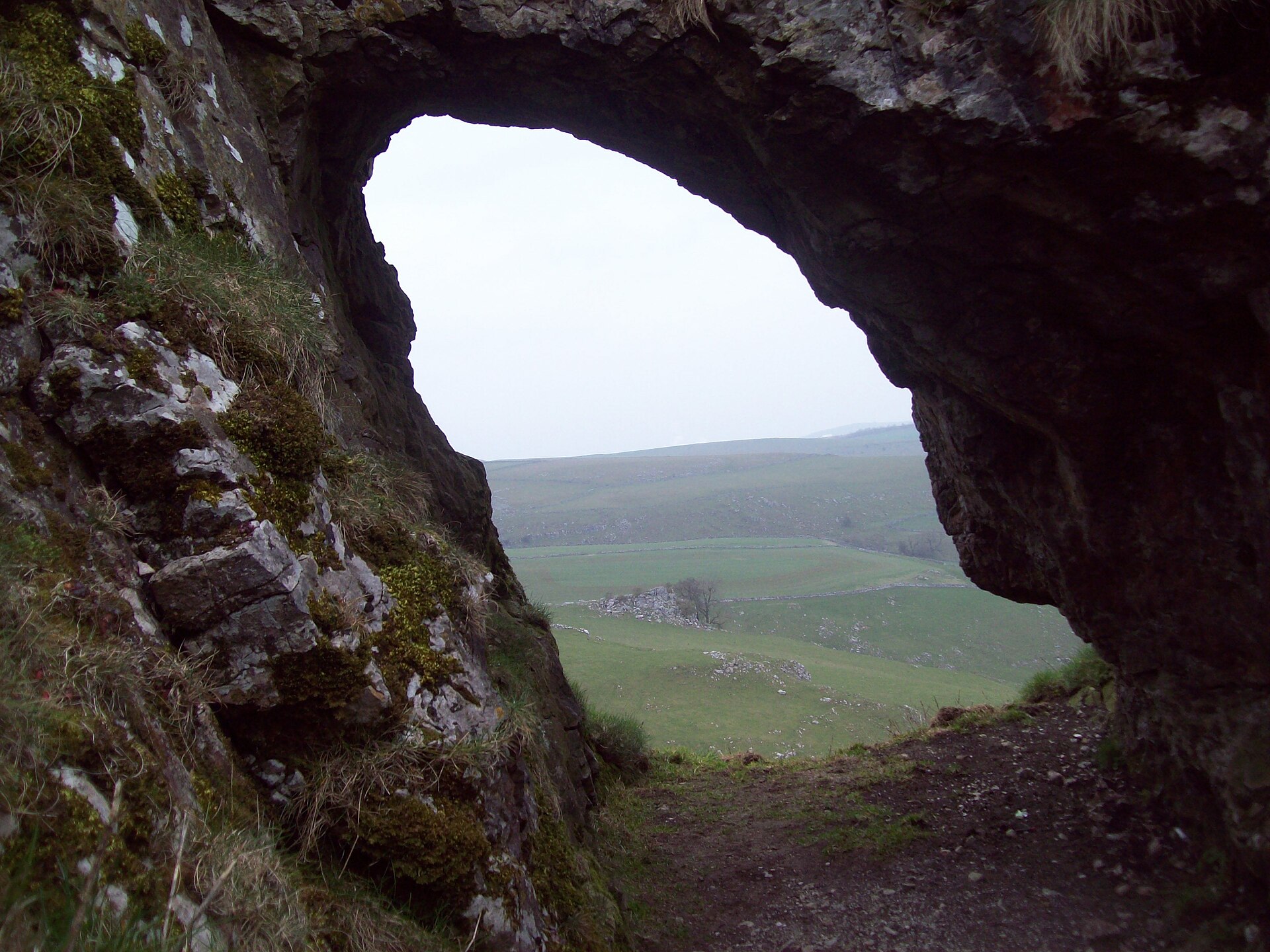
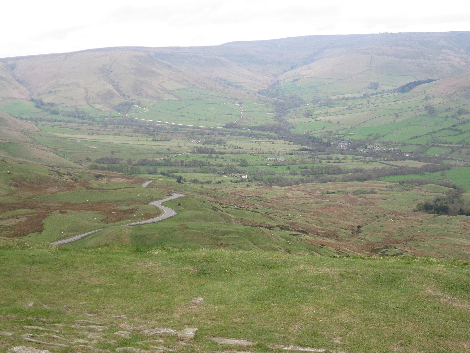
Two limestone reef knolls above the upper Dove, climbed as a 7km horseshoe from Hollinsclough with a scramble on Chrome Hill's narrow crest.
- 7.2 km
- 389 m up
- 2 hr 30 min
- Hard
A market town at 300m, and one bus ride from Edale.
300 m
Buxton
0.3 km
8
202
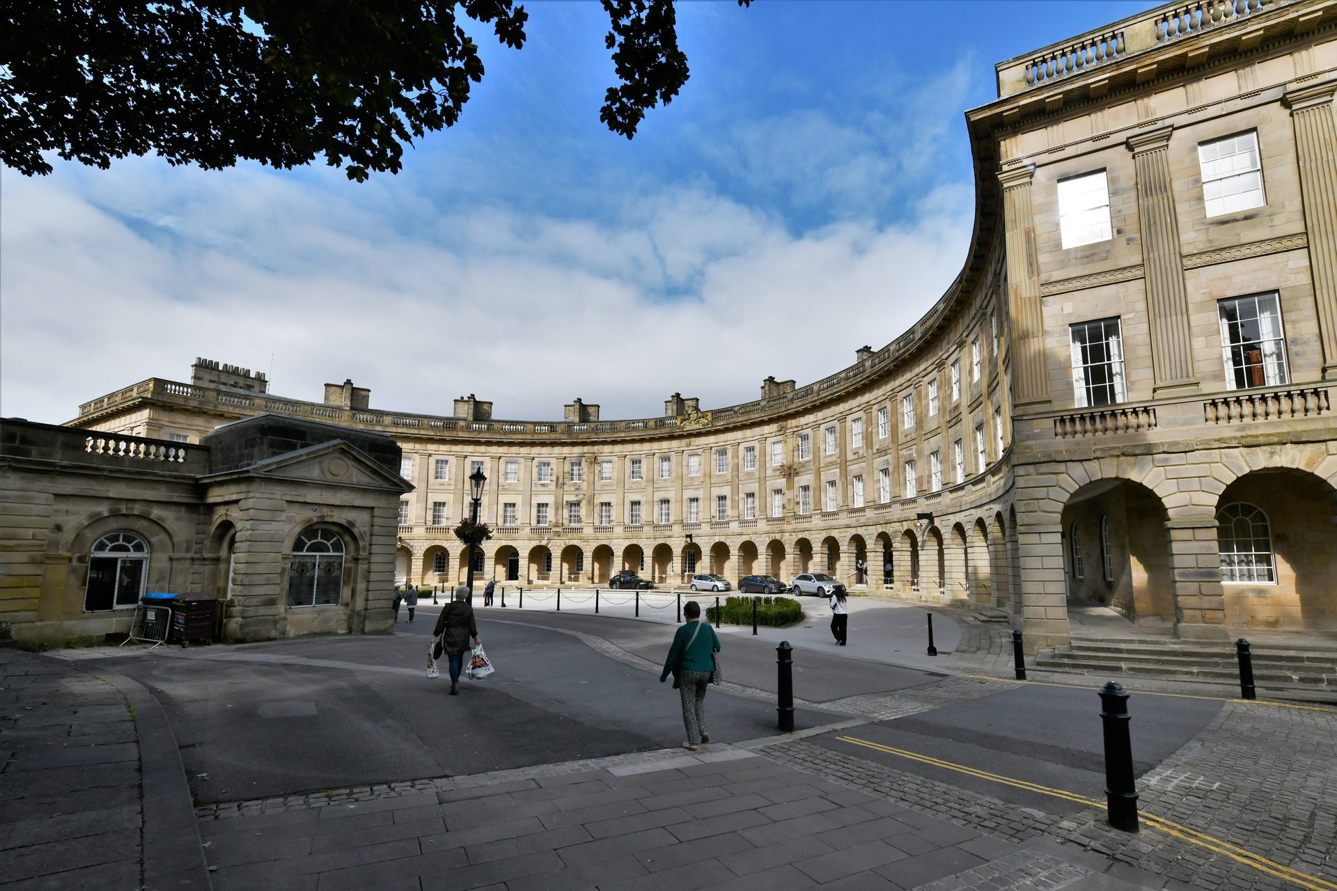
Buxton is a spa town of about 20,000 people at some 300m above sea level, which Wikipedia gives as the highest market town in England, and it sits outside the Peak District National Park boundary rather than inside it; the 190-mile Peak District Boundary Walk, launched in 2017 by the Friends of the Peak District, starts and finishes at the King’s Head on Market Place. The Romans called the spring Aquae Arnemetiae, Mary, Queen of Scots, was brought to take the waters in 1573 while the Earl of Shrewsbury was her gaoler, and John Carr built the Grade I Crescent between 1780 and 1784 for the 5th Duke of Devonshire. It reopened as a spa hotel in October 2020 after a 17-year refurbishment. Sleeping here makes sense because it is a real town with a railway station, a bus station and shops, which hill villages lack, and because it reaches the White Peak, the Dark Peak and the Staffordshire edge in a single bus ride or a short drive. The cost is that none of the walks below starts in the town.
High Peak’s Peak Pathfinder 62 runs from Buxton to Castleton through Chapel-en-le-Frith, Mam Tor, Edale and Hope, and the operator’s timetable puts Market Place to Castleton bus station at about 55 minutes. That one route reaches Mam Tor and the Great Ridge at its Mam Tor Top stop, Edale station for Kinder Scout via Grindsbrook Clough, and Castleton, where Cave Dale and Peak Cavern are on foot and Winnats Pass is the road in. Route 442 to Ashbourne calls at Earl Sterndale, where Buxton Town Team’s bus booklet starts its 5.4-mile route onto Chrome Hill from the stop by the Quiet Woman pub. PeakDistrict.org gives the drive as about 15 minutes and prefers Hollinsclough as the start, where parking is limited and the lanes are narrow. The Transpeak calls at Ashford-in-the-Water, from which the booklet gives a 3.8-mile circuit to Monsal Head. The Roaches is the one that needs a car: the A53 towards Leek has a turn signposted Upper Hulme, and none of the booklet’s routes goes that way. So does Shutlingsloe, whose walk starts at Trentabank in Macclesfield Forest, on the Cheshire side of the A537.
If Kinder is the whole week, Edale puts you at the path. Hartington, also on the 442, is the quieter base for the dales.
Buxton station opened in 1863 to a design by Joseph Paxton and is the end of the line: Northern trains take about an hour to Manchester Piccadilly, and the Midland route south to Rowsley closed in 1967, so there is no rail link towards Bakewell or Derby. The Transpeak bus covers that gap to Bakewell and Derby, and the Skyline 199 runs to Manchester Airport. Visit Buxton lists the four pay and display car parks above; timetables change, so check High Peak Buses before planning a day around one.
Pay and display car parks at The Square, Pavilion Gardens, Market Place and Spring Gardens.
The A6 from Manchester and Bakewell, the A53 from Leek, the A515 from Derby and the A537 from Macclesfield all reach the town.
Two limestone reef knolls above the upper Dove, climbed as a 7km horseshoe from Hollinsclough with a scramble on Chrome Hill's narrow crest.
A circular walk onto Mam Tor's summit and along the start of the Great Ridge, including the abandoned Broken Road.
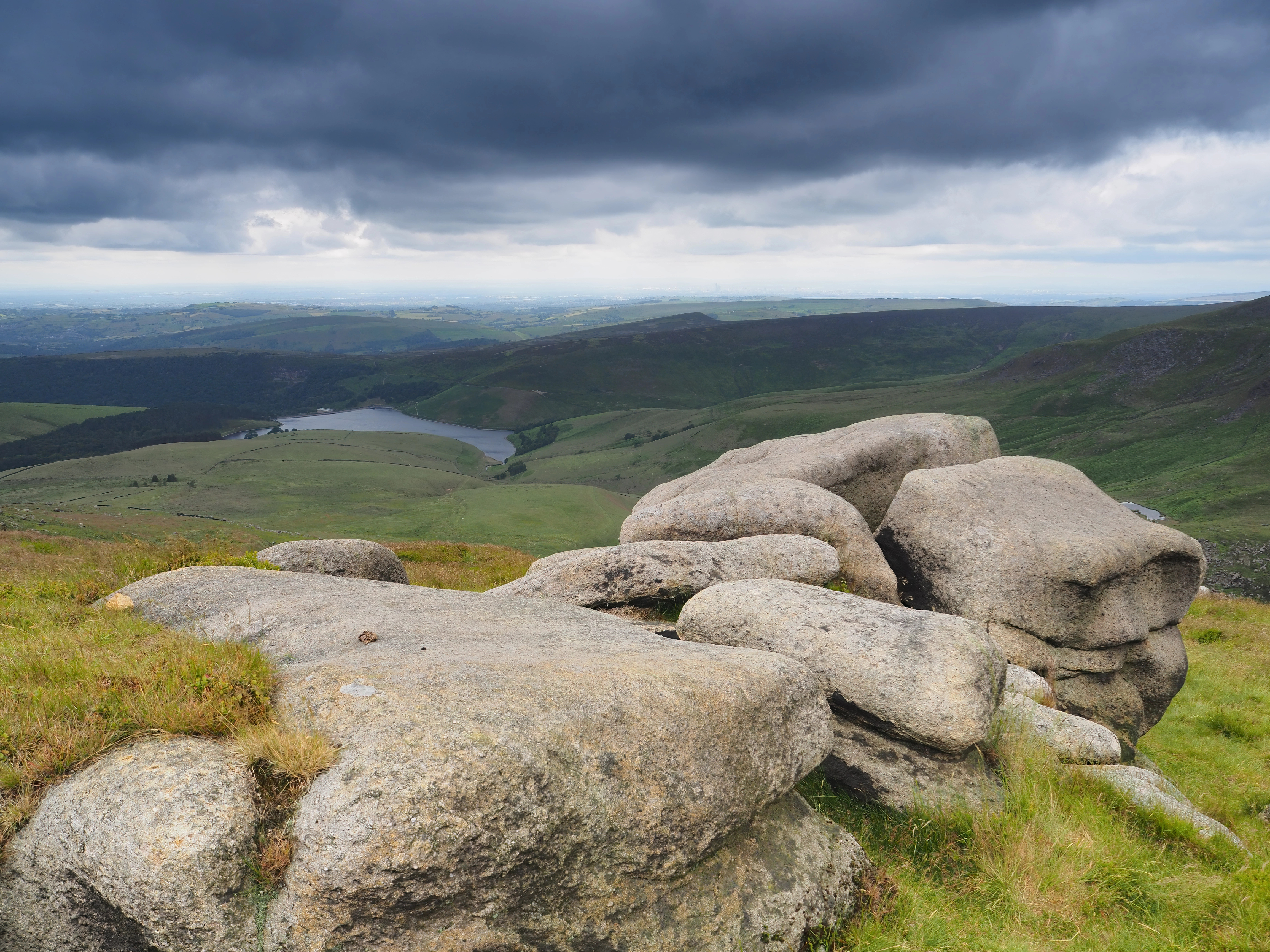
A hard circular walk from Edale onto the Kinder Scout plateau, ascending Grindsbrook Clough and returning via Jacob's Ladder.
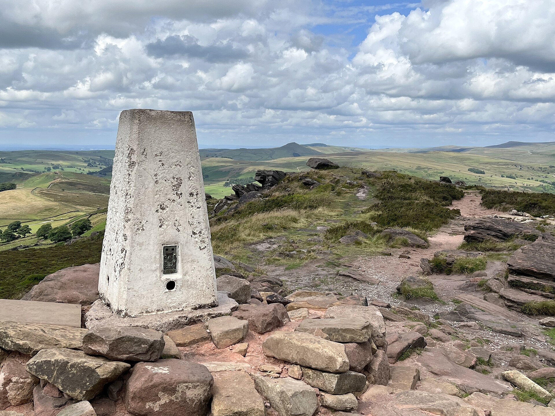
A 505m gritstone escarpment above Leek, its trig point and Doxey Pool reached by a 5.5km circuit from a Roach Road layby.
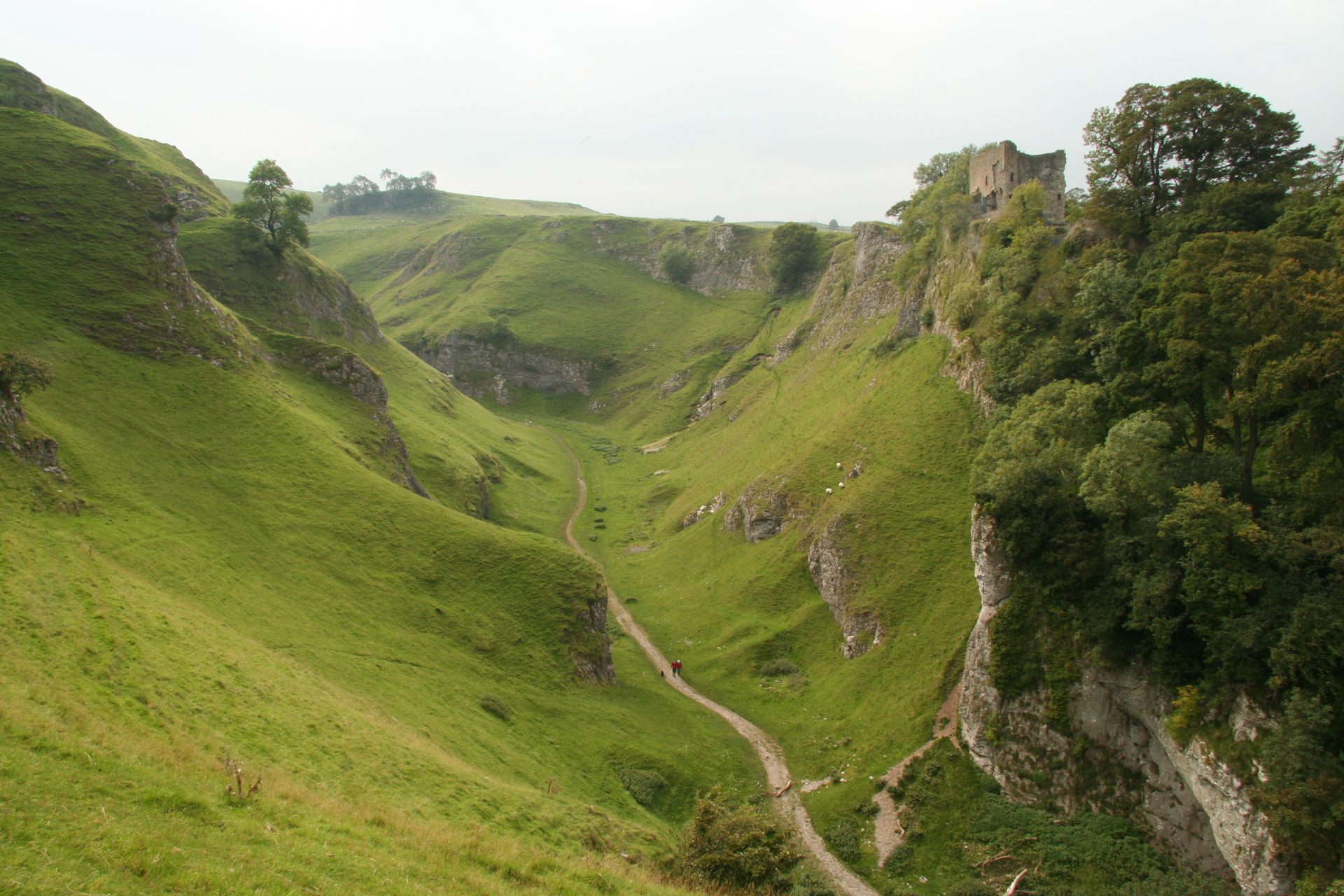
A short, steep circular walk from Castleton up a dry limestone gorge, past Peveril Castle, in the Peak District's Hope Valley.
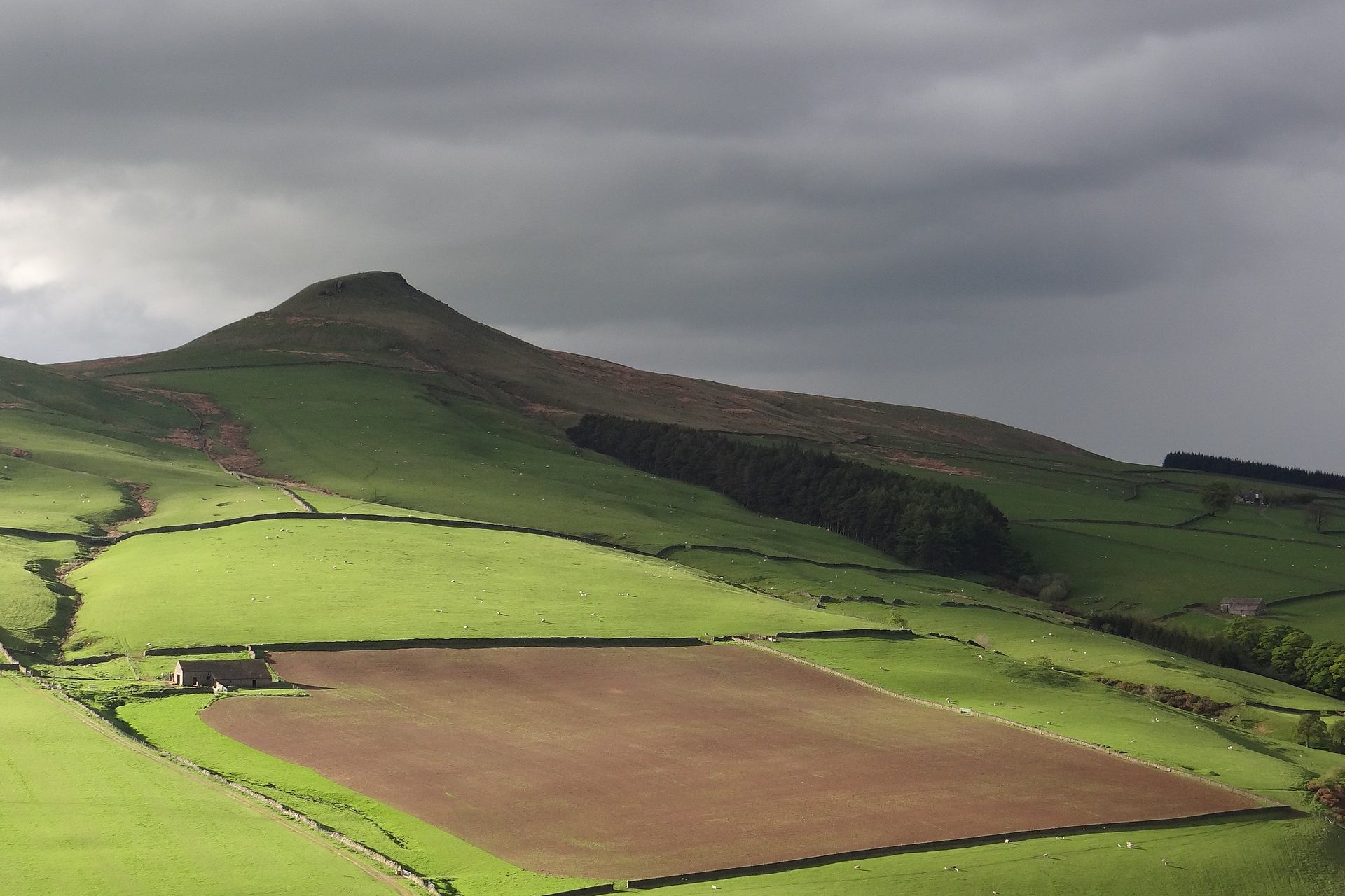
A 506m cone on the Cheshire edge of the Peak District, climbed from Trentabank through Macclesfield Forest in 4.9km.
Places you can drive to, or reach in a few minutes from the car.
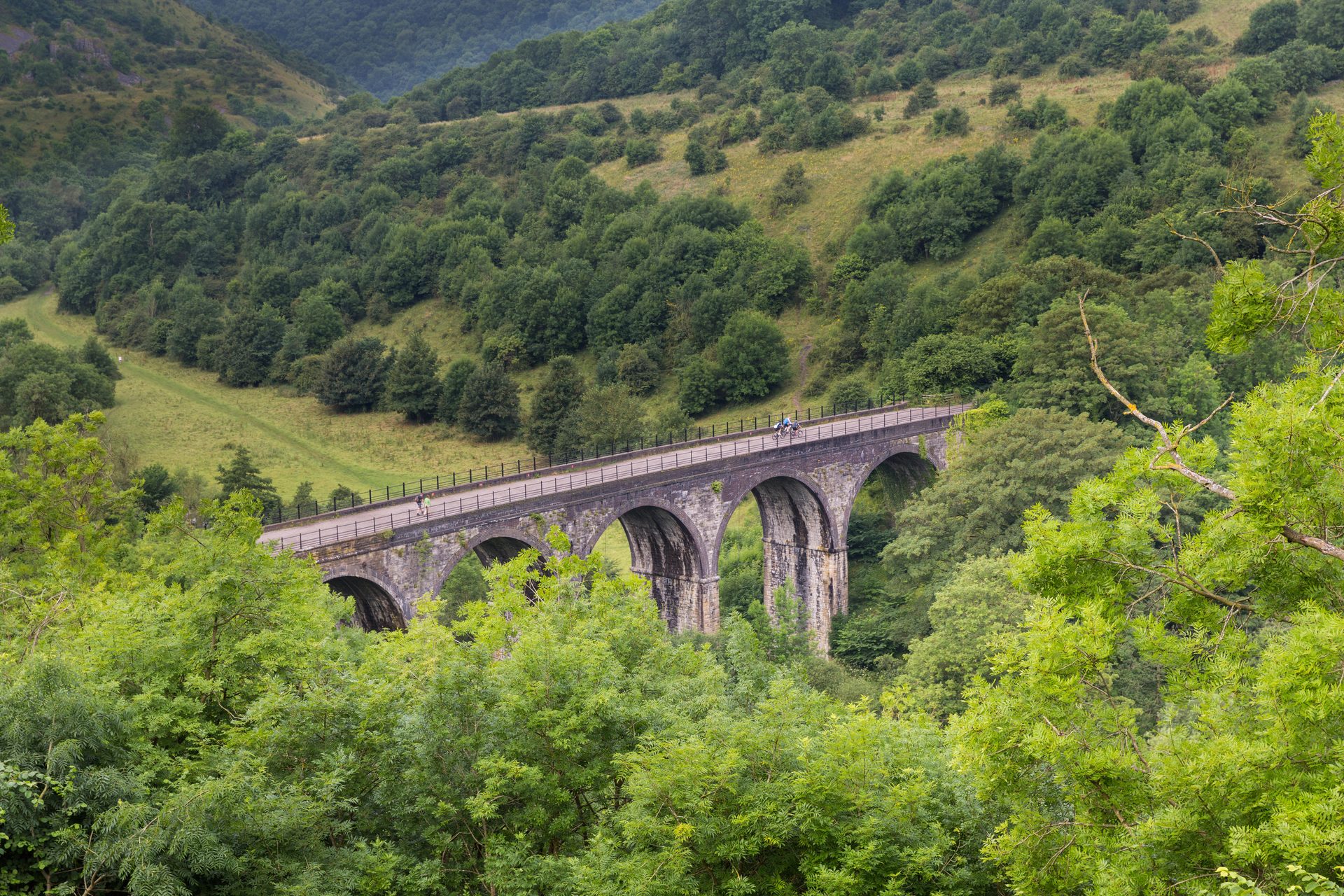
A viewpoint over Monsal Dale and the Headstone Viaduct, reached directly from a pay and display car park near Bakewell.
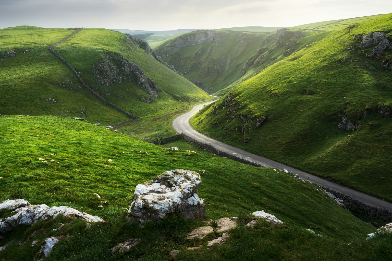
Winnats Pass is the limestone gorge road west of Castleton in the Peak District. Park at Speedwell Cavern or Castleton; walk beside the road or above it.
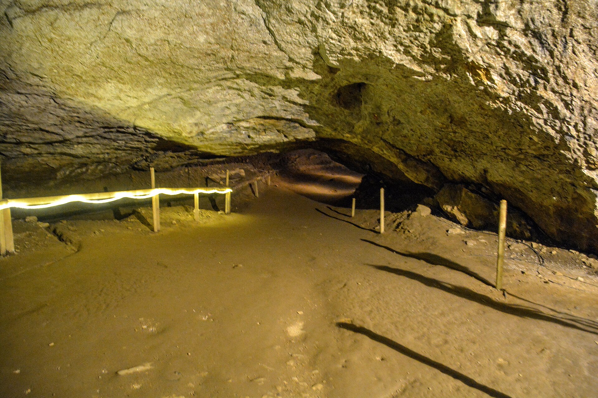
Britain's largest natural cave entrance, a show cave beneath Peveril Castle with a history of rope-making inside its mouth.
Booking links on these earn us a commission. The price you pay is the same either way.
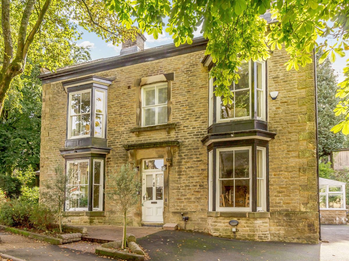
Buxton, Derbyshire
Sleeps 18 · 9 beds
from £2,675 / week
Check dates for Bagshot House (opens the booking site in a new tab)Checked 5 Oct
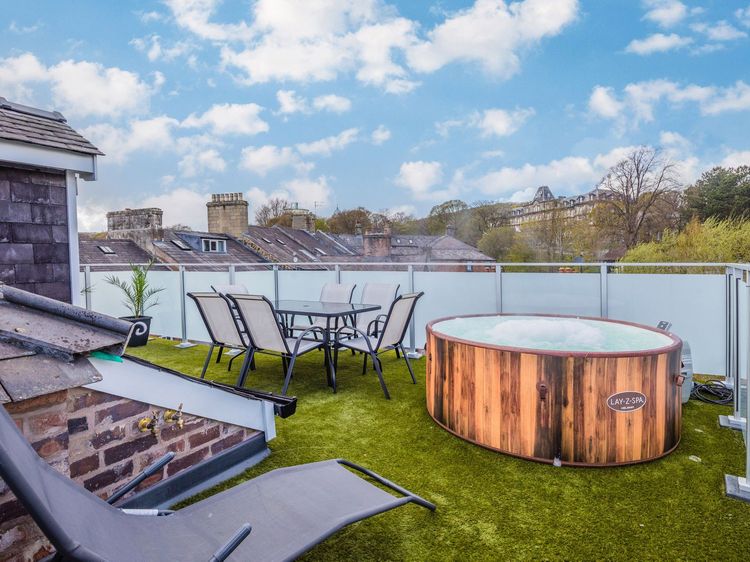
Buxton, Derbyshire
Sleeps 12 · 6 beds
from £1,475 / week
Check dates for Solomon's Rest (opens the booking site in a new tab)Checked 5 Oct
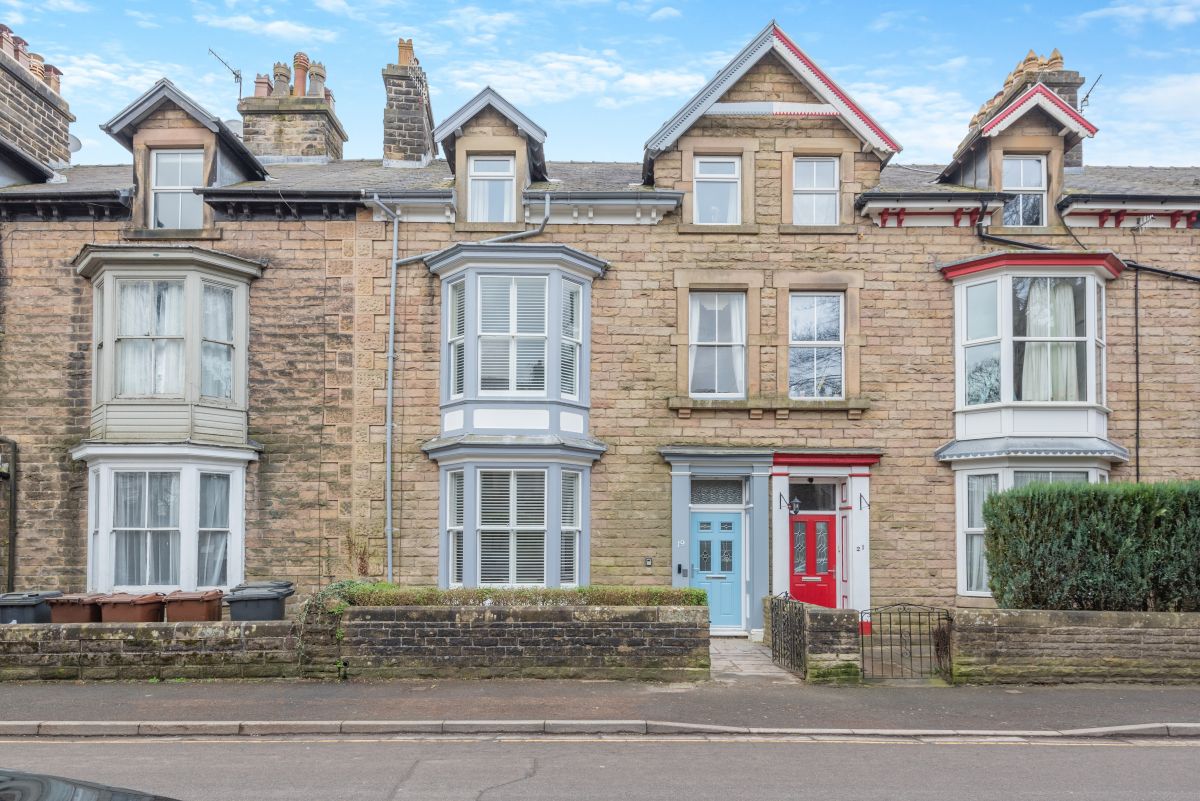
Buxton, Derbyshire
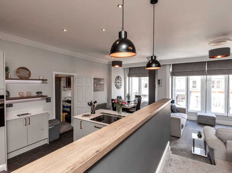
Sleeps 2 · 1 bed
from £710 / week
Check dates for Georgian Suite - Apartment 14 (opens the booking site in a new tab)Checked 5 Oct
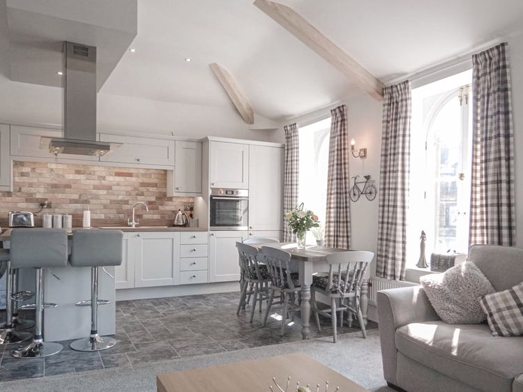
Buxton
Sleeps 4 · 2 beds
Prices on the merchant site
Check dates for The Crows Nest (opens the booking site in a new tab)Checked 9 Oct
Buxton, Derbyshire
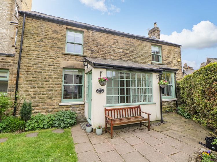
Sleeps 5 · 3 beds
from £781 / week
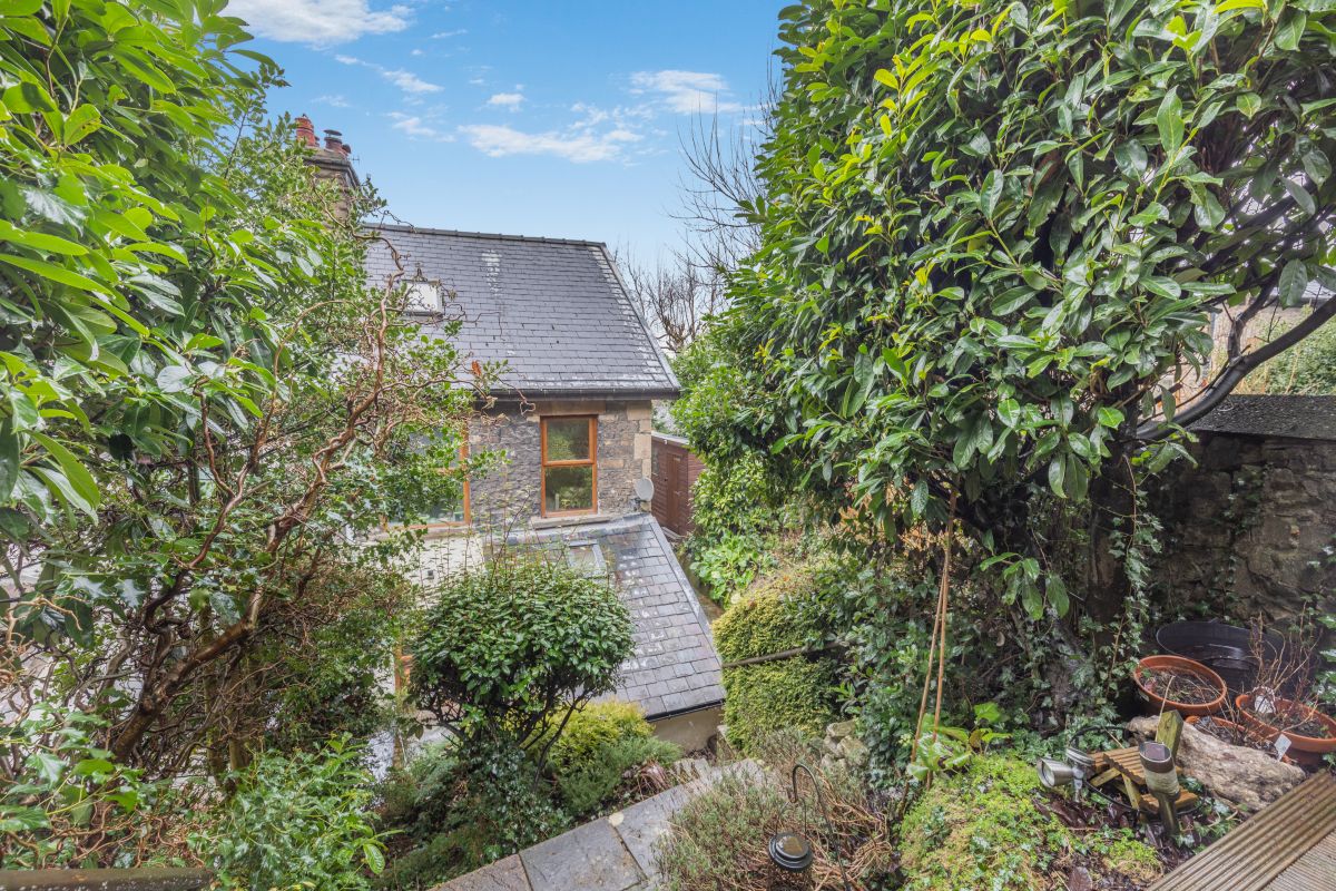
Check dates for Victorian Garden Cottage (opens the booking site in a new tab)Checked 5 Oct