Place Fell from Patterdale
Near Glenridding, Lake District
- Distance
- 7.4 km
- Ascent
- 546 m
- Time
- 2 hr 25 min
- Difficulty
- Moderate
- Summit
- 657 m
- Shape
- Circular
- Parking
- Paid
Start: Patterdale village car park
Grid ref: NY 395159
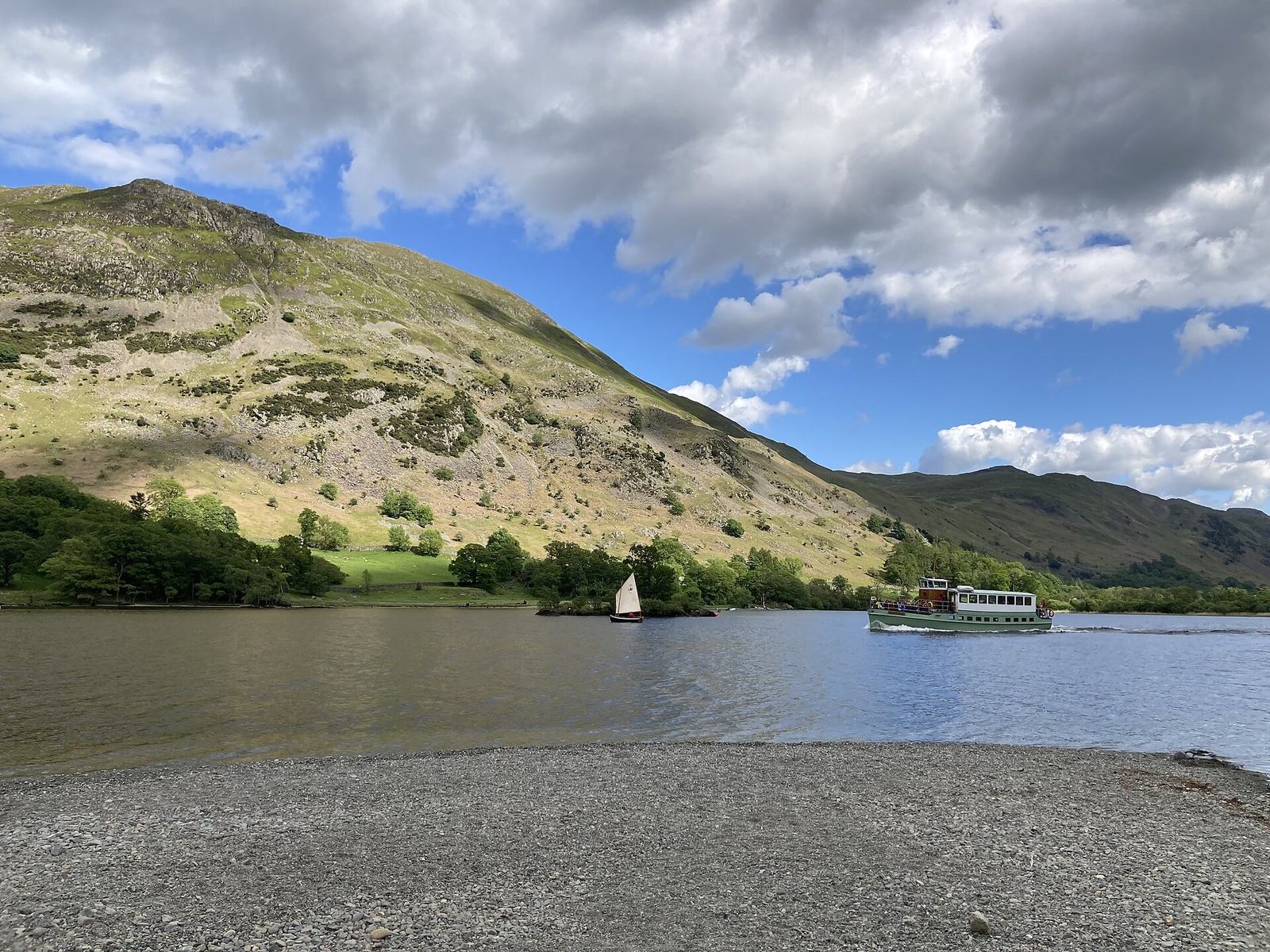
Place Fell is the steep, craggy hill that faces Glenridding and Patterdale across the head of Ullswater, 657m high. WalkLakes, the route guide that describes this circuit, calls it an intimidating jumble of crags and steep rocky scree seen from the valley, and says an old track is what makes it climbable. Wikipedia notes that Wainwright called the lakeshore path below it, from Sandwick to Patterdale, the most beautiful and rewarding walk in Lakeland.
The route leaves Patterdale by the lane to Side Farm, which has a tearoom, and climbs through old slate quarry debris past a cave. A narrow path then bears off the main track and uses rakes and gullies to get round the crags, passing through a stand of juniper before it eases onto the boggy plateau and reaches the tall trig point. The descent crosses Round How and drops by a pitched path down Steel Edge to Boredale Hause, where a ruin marked on Ordnance Survey maps as the Chapel in the Hause stands at the top of the pass.
WalkLakes gives 7.4km with 546m of ascent and a minimum time of 2 hours 24 minutes, rates the terrain as hands on rock and steep or loose scree, and the ground as wet and boggy. Parking in Patterdale is severely limited, largely confined to the overflow car park of the Patterdale Hotel, because the village is also the start for the Helvellyn ridges. The route suits a walker who wants a real summit in half a day. It does not suit anyone without navigation skills, since the plateau is crossed by paths in every direction and WalkLakes says it is not a place to be caught in low visibility. For the lake without the climb, Aira Force is a National Trust waterfall walk of 7.2km.
Underfoot
Grass and bracken paths on the lower west-facing slopes give way to rocky rakes and gullies, a steep stretch through juniper and a rough clamber over rock, though nothing needing technical skill. The summit plateau is boggy and crossed by many paths, and the descent over Round How uses a stone-pitched path down Steel Edge to Boredale Hause.
Stay within reach of the start
Everything here is inside 12 km of Place Fell from Patterdale.
Booking links on these earn us a commission. The price you pay is the same either way.
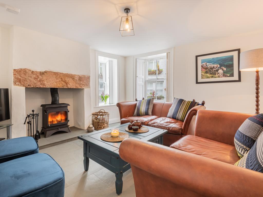
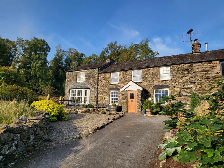
Patterdale near Glenridding
Deer How Farm
Sleeps 8 · 4 beds
- Wood burner
- Dogs
from £1,149 / week
Check dates for Deer How Farm (opens the booking site in a new tab)Checked 8 Oct
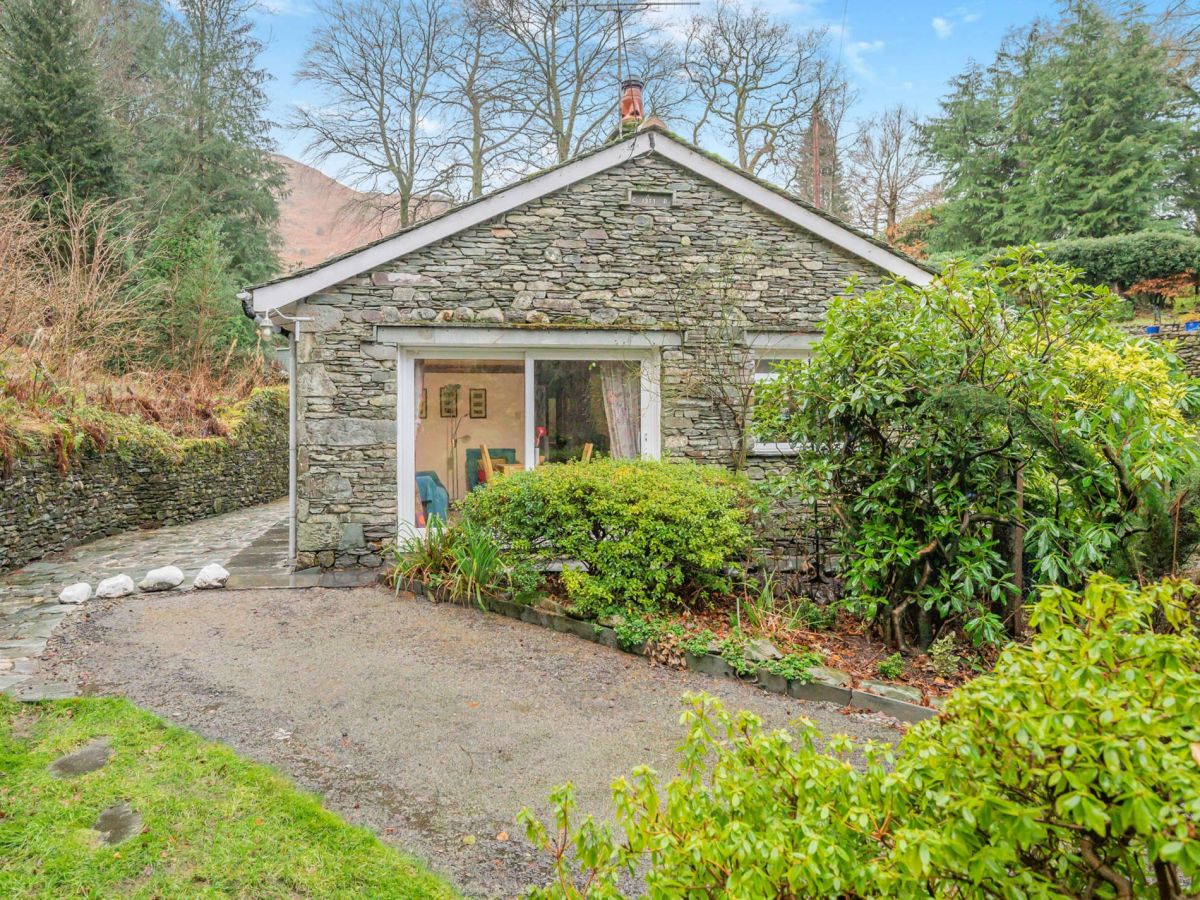
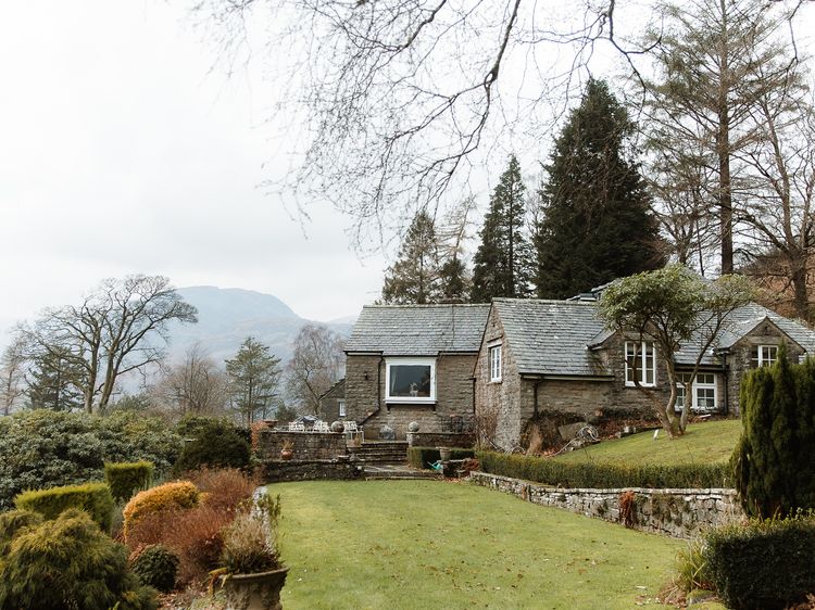
Patterdale, Cumbria
Patterdale Cottage
Sleeps 2 · 2 beds
- Wood burner
- Dogs
from £697 / week
Check dates for Patterdale Cottage (opens the booking site in a new tab)Checked 5 Oct
Patterdale, Cumbria
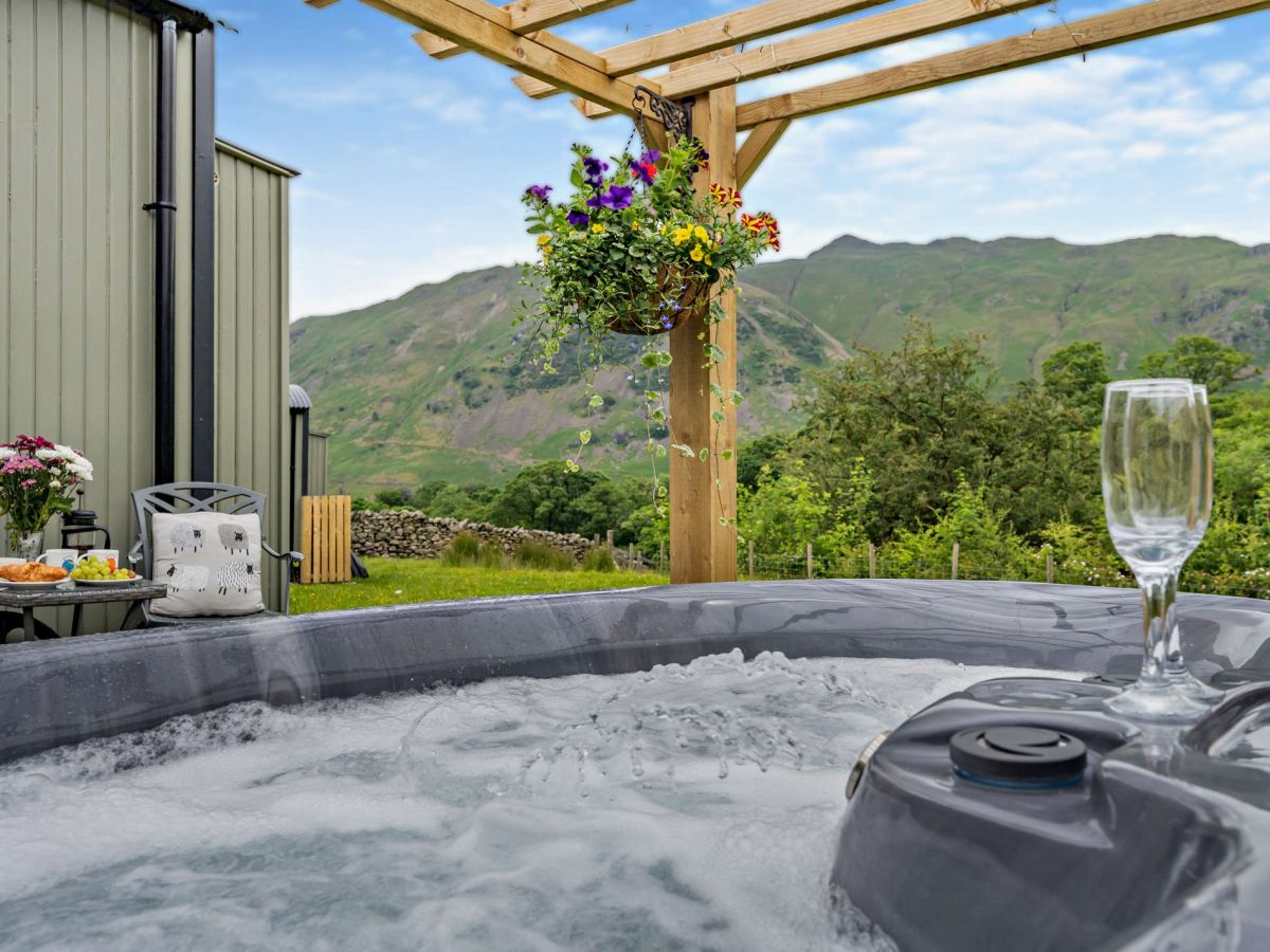
Herdwick Hideaway At Deepdale Hall
Sleeps 2 · 1 bed
- Hot tub
- No dogs
from £979 / week
Check dates for Herdwick Hideaway At Deepdale Hall (opens the booking site in a new tab)Checked 5 Oct
Glenridding
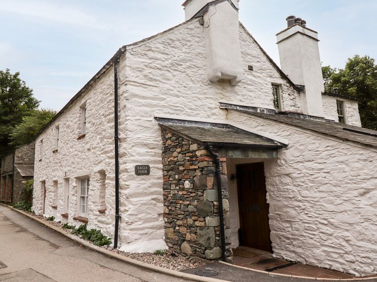
Eagle Farmhouse
Sleeps 6 · 3 beds
- Wood burner
- Dogs
from £1,000 / week
Check dates for Eagle Farmhouse (opens the booking site in a new tab)Checked 7 Oct
Patterdale, Cumbria
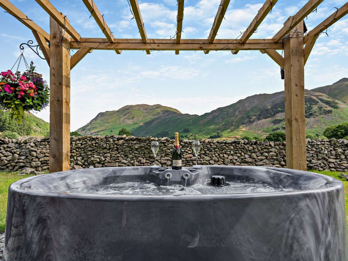
Swaledale Hut At Deepdale Hall
Sleeps 2 · 1 bed
- Hot tub
- No dogs
from £979 / week
Check dates for Swaledale Hut At Deepdale Hall (opens the booking site in a new tab)Checked 5 Oct
Distances, ascent and times here are planning figures taken from published sources, not a route description to navigate by. Take a map and check the forecast. We do not publish conditions, because nothing on this page is updated often enough for you to trust it on the day.