Helvellyn via Striding Edge
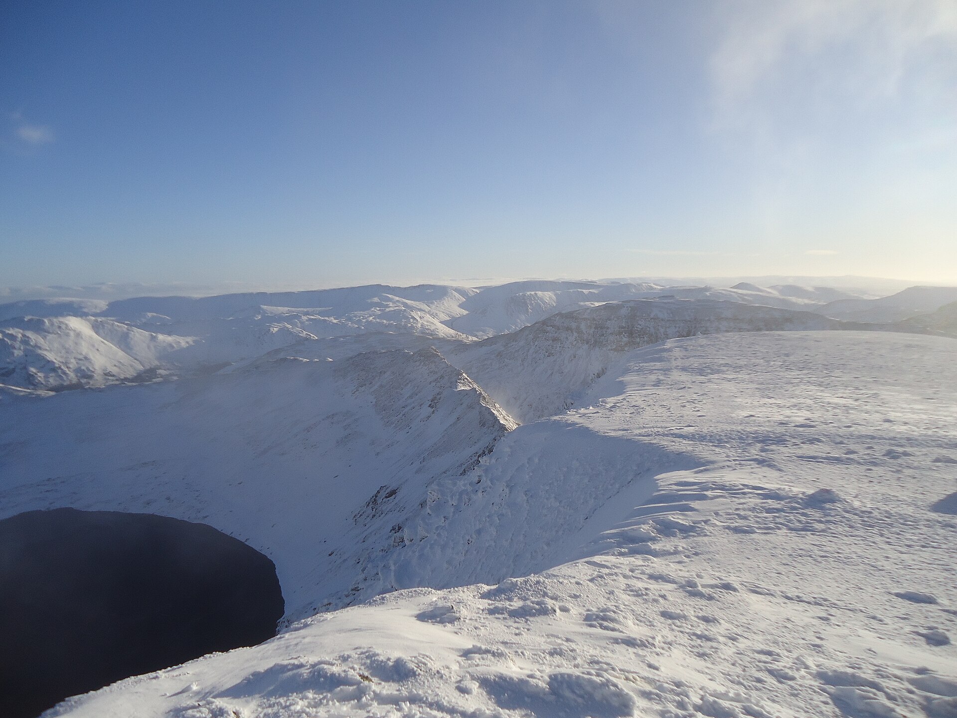
A narrow, exposed ridge scramble to England's third-highest summit, the best-known serious ridge walk in the Lakes.
- 15.4 km
- 985 m up
- 7 hr 30 min moving
- Severe
Ullswater's steamer pier, and Helvellyn straight up the valley.
164 m
Penrith
20.9 km by road
12
296
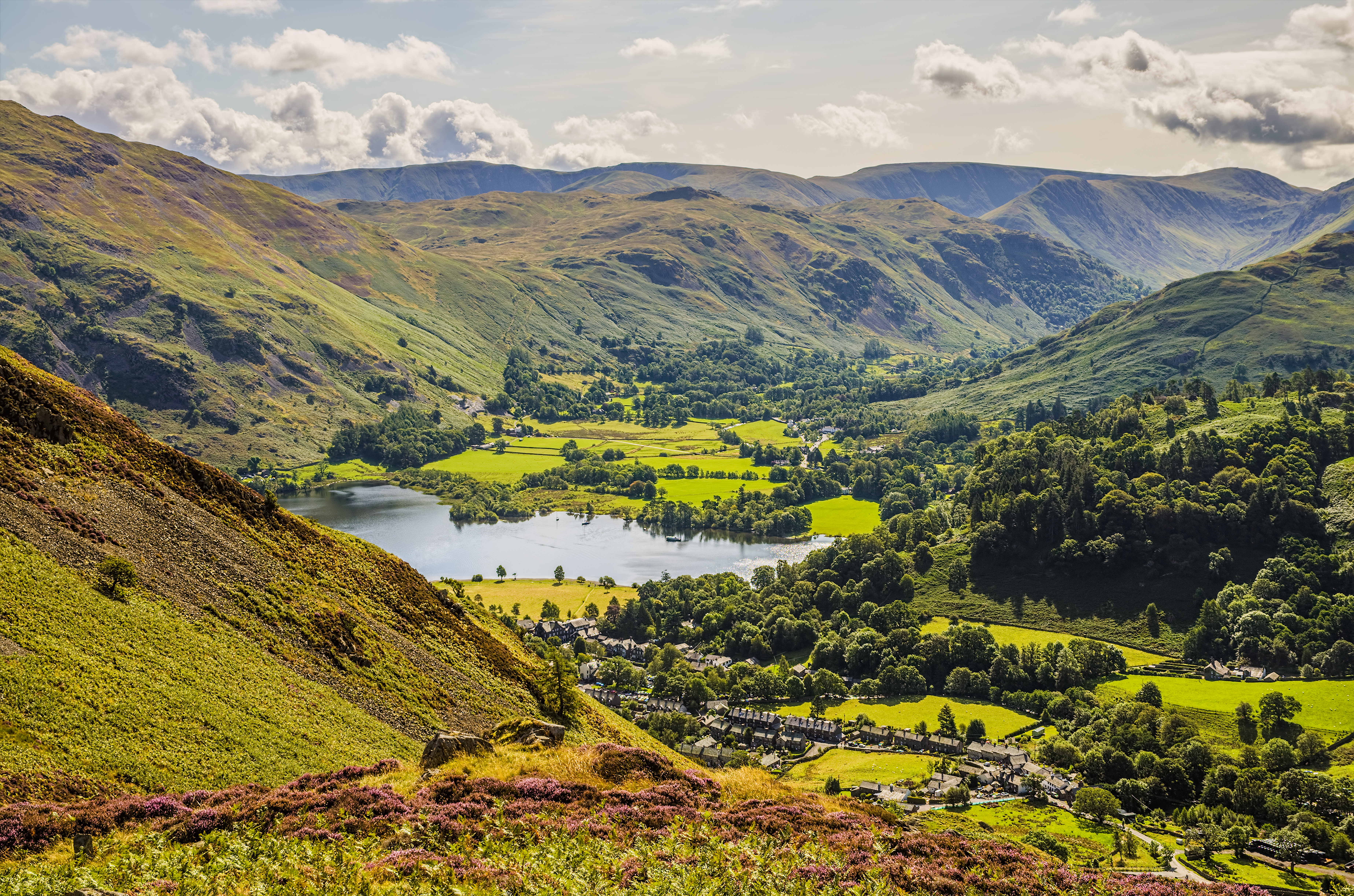
Glenridding sits at the southern end of Ullswater, the Lake District’s second-largest lake, and is best known as the standard starting point for Helvellyn, England’s third-highest mountain, by way of Striding Edge. The Ullswater steamers call here alongside Howtown and Pooley Bridge, timed to connect with the local bus, which makes a day of lake and fell walking easy to string together without doubling back on the same path. It is a harder-edged base than Ambleside or Keswick, built around one serious mountain day and a scatter of gentler valley options, rather than a wide choice of shops and easy strolls.
Helvellyn’s ascent starts directly from the Glenridding car park, so the mountain itself needs no further travel, and Place Fell, the 657m fell across the head of Ullswater, starts from the village car park in Patterdale. Aira Force, the National Trust waterfall a few miles up the Ullswater shore near Dockray, is a short drive or a stop on the bus and boat services that run along the lake. Beyond Ullswater, reaching Ambleside or Windermere means crossing Kirkstone Pass, a proper mountain road rather than a quick link, and reaching Keswick means the long way round the northern end of the lake or back via Penrith.
Penrith, on the West Coast Main Line, is the nearest station, about 13 miles away by road. The 508 bus connects Penrith to Glenridding and Patterdale year-round, continuing over Kirkstone Pass to Windermere in the warmer months. The Ullswater steamers offer a second way to reach Glenridding from Pooley Bridge, timed to the bus. Outside the core Penrith-Glenridding run, services thin out considerably in winter, so a car makes the wider area, and Kirkstone Pass in particular, far more workable for anything beyond the lake itself.
Not much in Glenridding itself suits young children. The family walk, Aira Force, is several miles round the lake near Dockray, where the path from the car park to the falls and back stays on maintained paths throughout, short enough for a five-year-old to finish without complaint, with a café at the site for afterwards. Children who can manage more can continue onto Gowbarrow Fell above the falls, though that turns an easy half hour into a half day on rougher, boggier ground. The Ullswater steamers, which call at Glenridding itself, make an easy wet-weather stand-in: no walking at all, just the lake and the fells from a boat seat. Striding Edge belongs nowhere near this list. Guides rate the ridge at the top of their difficulty scale, several recommend leaving dogs at home rather than attempting the scramble at the Chimney with them, and the exposure above Red Tarn is real, not figurative. Helvellyn by this route is not a family day out at any age, and the descent by Swirral Edge is barely gentler.
The main Glenridding car park is pay and display with coach parking, EV charging and a Tourist Information Centre on site; a second pay and display car park serves the pier and Jenkins Field.
The A592 crosses to Ambleside over Kirkstone Pass, at 454m the highest road pass in the Lake District, known locally on the Ambleside side as The Struggle. The Kirkstone Pass Inn near the summit is the third-highest pub in England.
A narrow, exposed ridge scramble to England's third-highest summit, the best-known serious ridge walk in the Lakes.
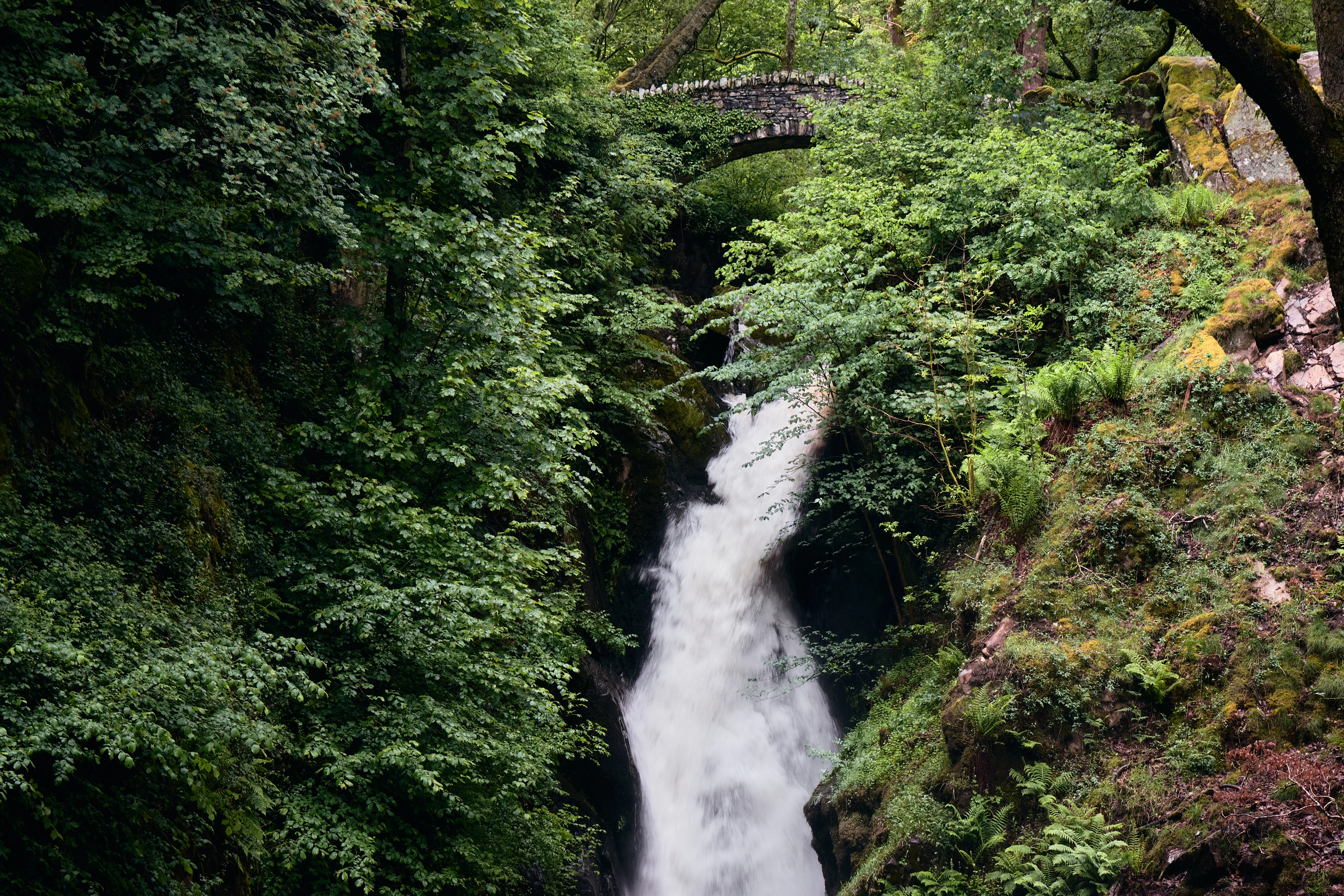
A National Trust waterfall walk above Ullswater, with a longer trail onto Gowbarrow Fell, near the shore of Wordsworth's daffodils.
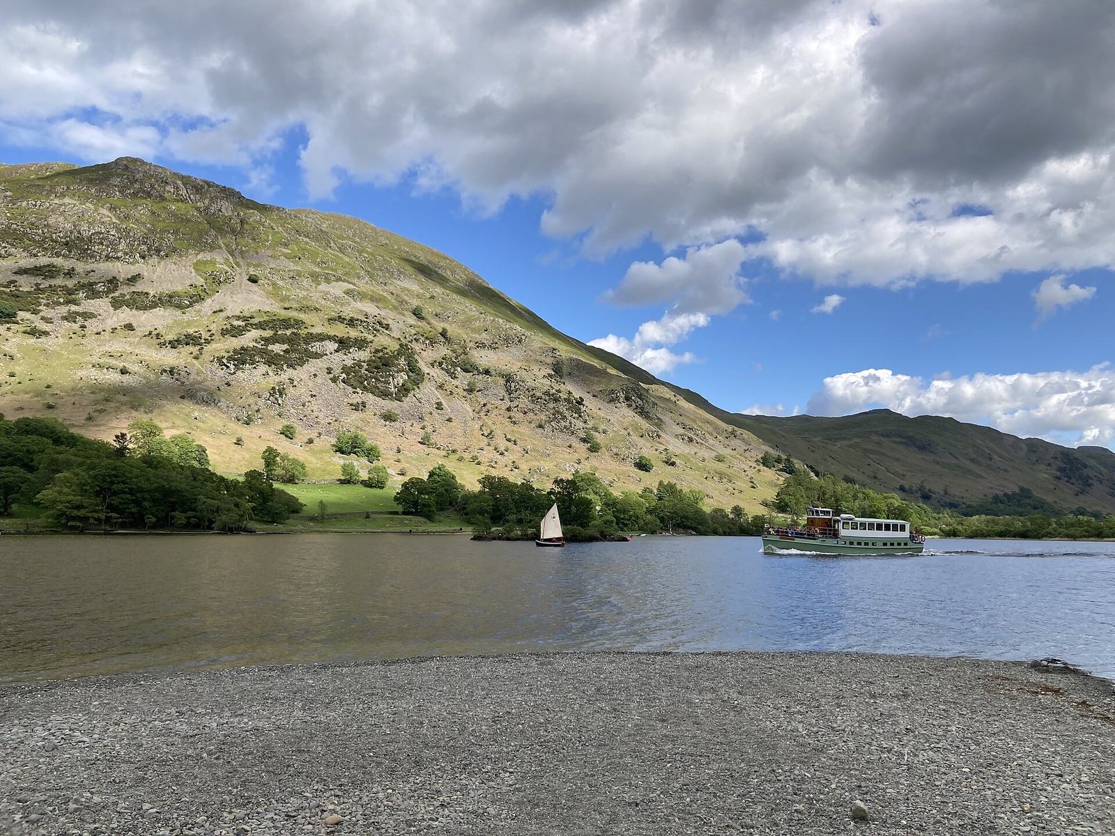
A circuit of the 657m fell above Ullswater, climbing past Side Farm and juniper to a trig point and returning by the pitched path down Steel Edge.
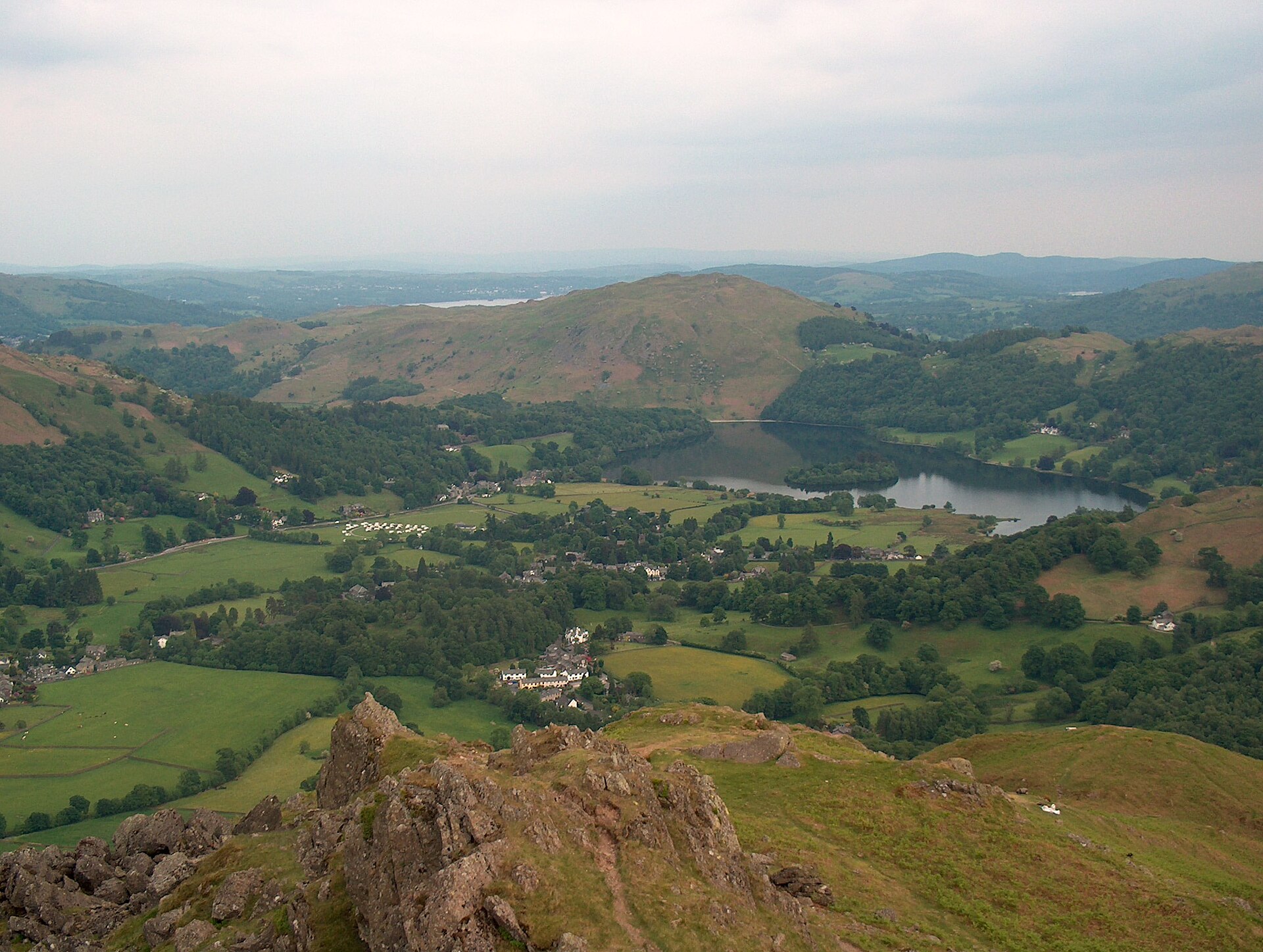
A short, steep fell above Grasmere whose ridge rocks carry names: the Lion and the Lamb, and the summit outcrop known as the Howitzer.
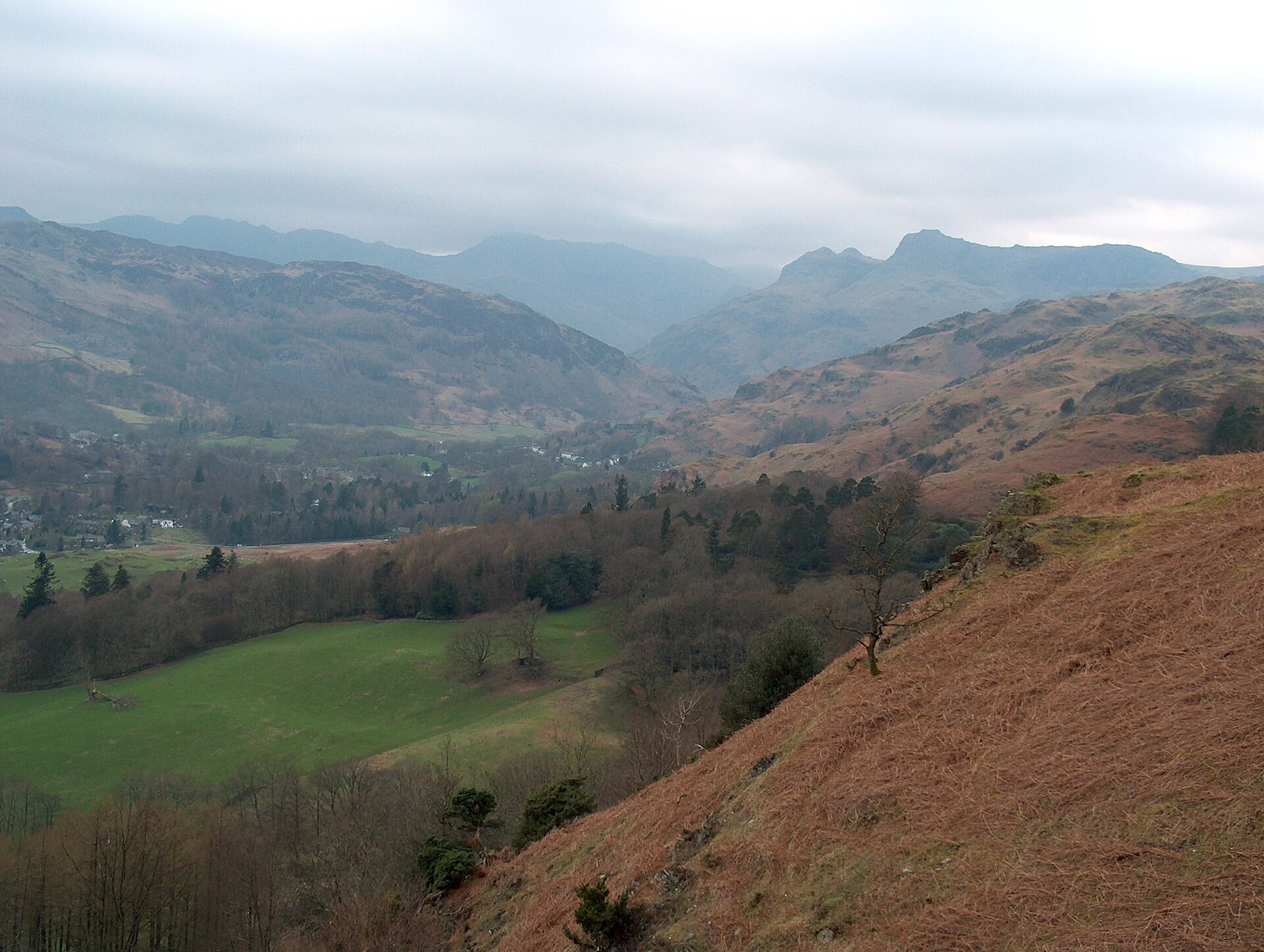
A short, well-used climb to a broad summit scattered with tarns, starting on the road between Ambleside and Grasmere.
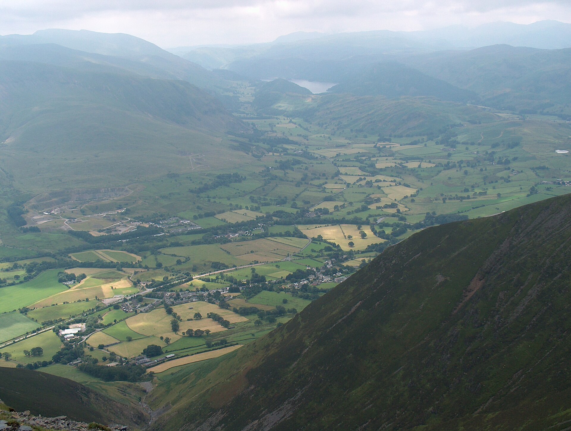
A steep, non-technical ascent of Blencathra's broad southern shoulder from Threlkeld, the plain way up beside the mountain's two famous scrambles.
Reached by car, by lift or by a short walk, rather than a day on the hill.
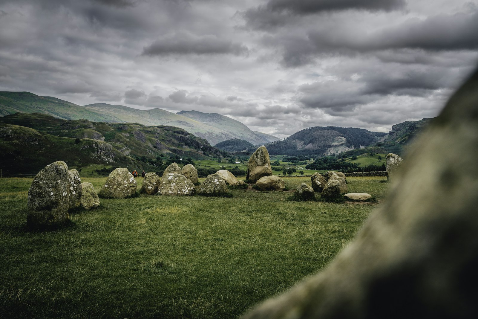
A Neolithic stone circle on a hilltop plateau near Keswick, with a 360-degree view of surrounding fells reached in a couple of minutes on foot.
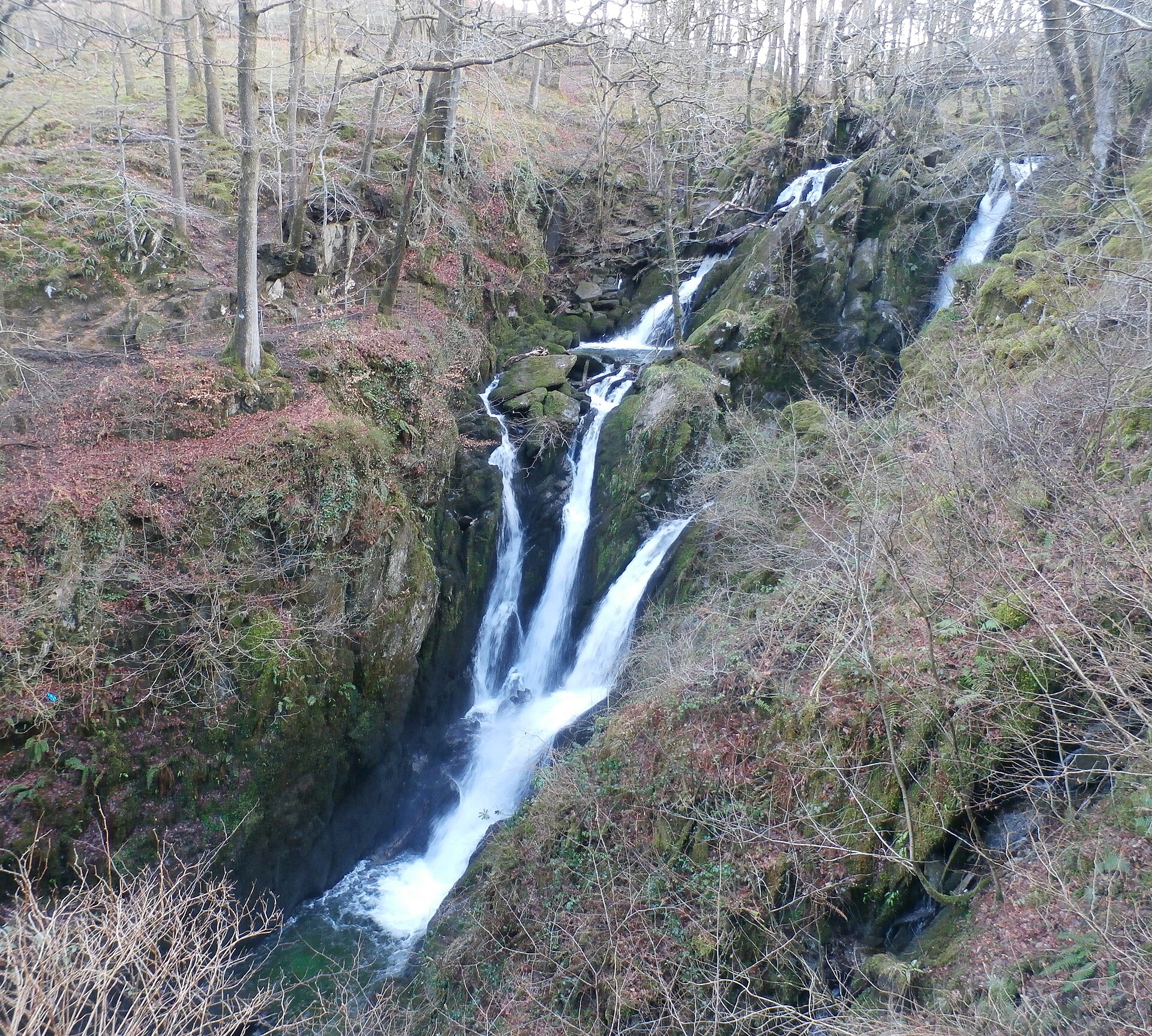
A wooded waterfall dropping around 21 metres in two stages, a short, stepped walk from Ambleside's main street.
Booking through these links earns a commission. The price is the same.
Glenridding
Sleeps 4 · 2 beds
from £1,069 / week
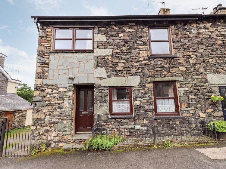
Check dates for Bleaberry Cottage (opens the booking site in a new tab)Checked 7 Oct
Glenridding, Cumbria
Sleeps 4 · 2 beds
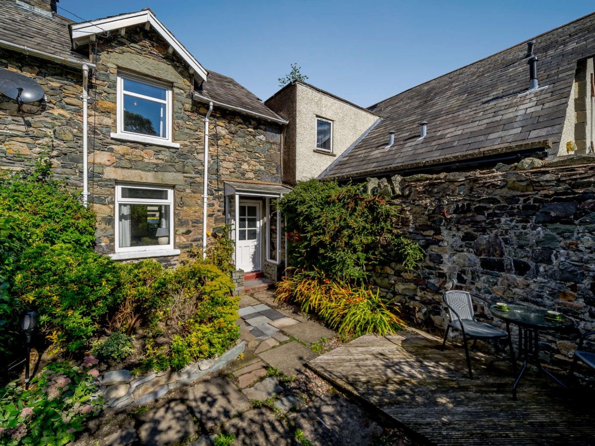
from £554 / week
Check dates for 2 Low Glenridding (opens the booking site in a new tab)Checked 5 Oct