Helvellyn via Striding Edge
Near Glenridding, Lake District
- Distance
- 15.4 km
- Ascent
- 985 m
- Moving time
- 7 hr 30 min
- Difficulty
- Severe
- Summit
- 950 m
- Shape
- Circular
- Dogs
- Not suitable: potentially dangerous on the ridge, WalkLakes warns
Start: Glenridding village car park
Grid ref: NY 385169
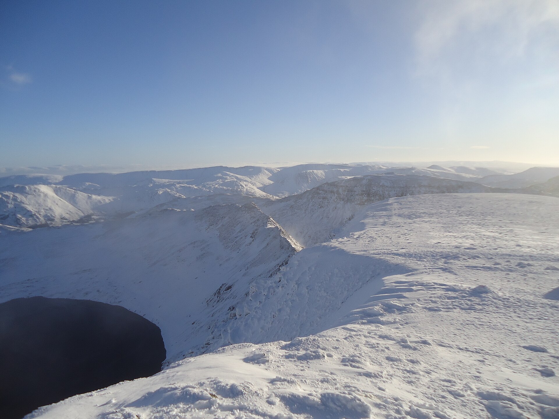
Striding Edge is the best-known ridge scramble in the Lake District, an arête around 1.5km long connecting Birkhouse Moor to the summit plateau of Helvellyn, England’s third-highest mountain at 950m. The standard round starts and finishes at the Glenridding car park, climbing past Lanty’s Tarn and Birkhouse Moor to reach the start of the ridge, then following its crest, hands often needed on the rock, to a final short, steep gully known locally as the Chimney that gains the summit tableland.
This is a mountaineering-grade route rather than a walk with a scramble added on. WalkLakes rates it 5 out of 5 for both terrain and technical difficulty, and the exposure on the narrowest sections of the ridge is real, with drops toward Red Tarn on one side. Fatal accidents have happened here, and Wikipedia calls the ridge a notorious accident spot among hikers and scramblers. In winter the Lake District National Park Authority employs fell top assessors, one of whom climbs Helvellyn each day to check the weather, snow and walking conditions, Wikipedia records, and their report rather than this page is the one to read before a winter attempt. Most parties descend via Swirral Edge, a shorter, slightly less exposed ridge on the other side of Red Tarn, completing a horseshoe around the tarn’s headwall before returning to Glenridding.
Walking Britain gives the round from Glenridding as 15.4km with 985m of ascent and seven and a half hours of walking before any stops, which makes this a full mountain day requiring good weather, sure-footedness and a head for heights, not a warm-up walk. This is not a route for dogs: WalkLakes marks it potentially dangerous for a dog and says the dog needs calm control and competent agility to complete the ridge safely. For a fell with a dog from the same valley, Place Fell climbs from Patterdale, and WalkLakes notes nothing on it that troubles a dog beyond the lack of water higher up.
Underfoot
Striding Edge is a narrow rock ridge around 1.5km long, requiring hands-on scrambling and a head for heights, narrowing further near High Spying How. The final approach to the summit plateau is a steep, rocky scramble through a short gully known as the Chimney. The descent is commonly made via the parallel ridge of Swirral Edge.
Stay within reach of the start
Booking through these links earns a commission. The price is the same.
Glenridding
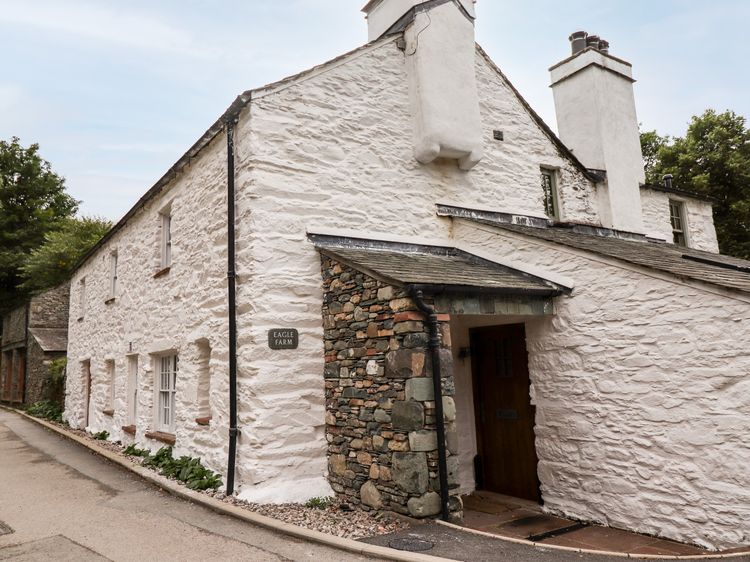
Eagle Farmhouse
Sleeps 6 · 3 beds
- Wood burner
- Dogs
from £1,000 / week
Check dates for Eagle Farmhouse (opens the booking site in a new tab)Checked 7 Oct

Glenridding, Cumbria
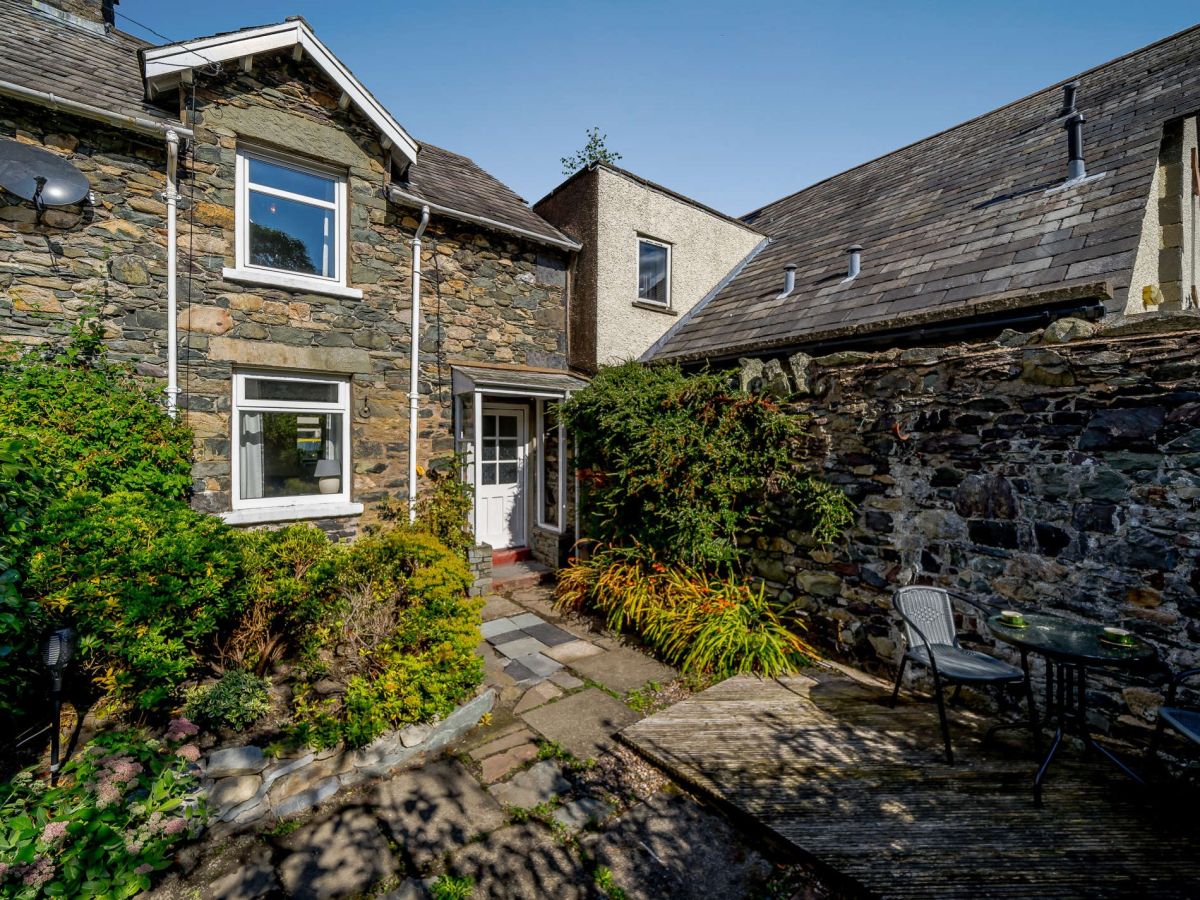
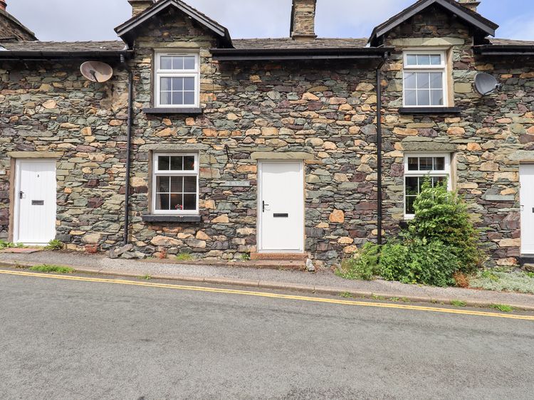
2 Low Glenridding
Sleeps 4 · 2 beds
- Wood burner
- Dogs
from £554 / week
Check dates for 2 Low Glenridding (opens the booking site in a new tab)Checked 5 Oct

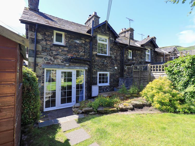
Glenridding
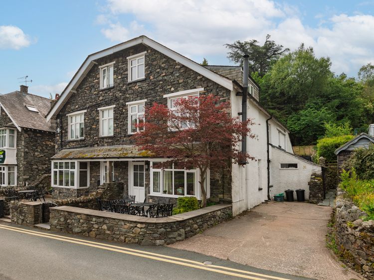
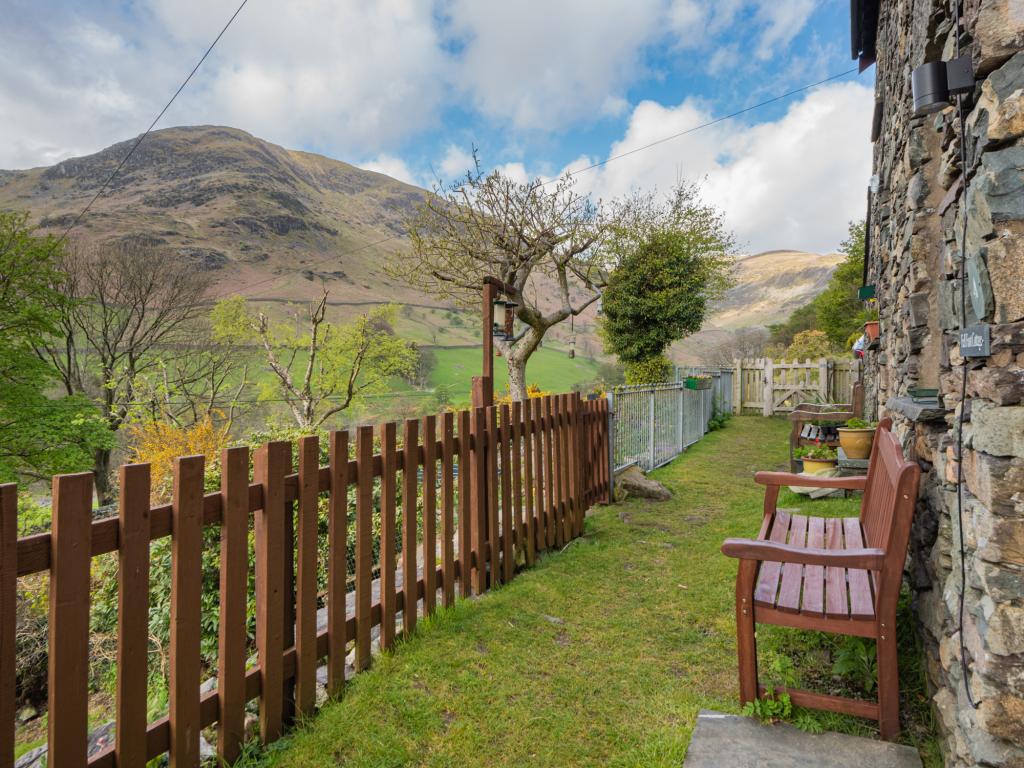
Bleaberry Cottage
Sleeps 4 · 2 beds
- Wood burner
- Dogs
from £1,069 / week
Check dates for Bleaberry Cottage (opens the booking site in a new tab)Checked 7 Oct
Distances, ascent and times here are planning figures taken from published sources, not a route description to navigate by. Take a map and check the forecast.