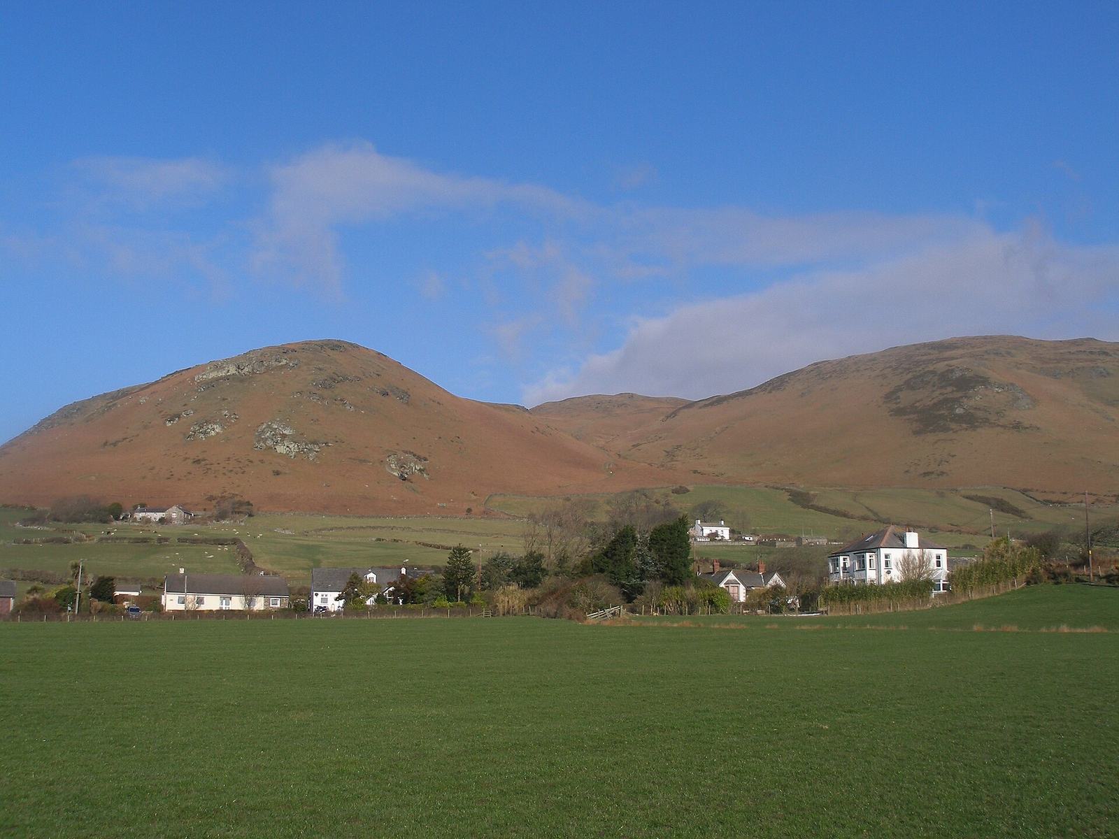
Black Combe from Whicham
Near Broughton-in-Furness, Lake District
- Distance
- 13.7 km
- Ascent
- 610 m
- Time
- 4 hr
- Difficulty
- Moderate
- Summit
- 600 m
- Shape
- Circular
- Parking
- Free
Start: Whicham church car park, St Mary's, off the A595
Grid ref: SD 131822
Black Combe is the south-western corner of the Lake District National Park, 600m high, standing alone some ten miles from any higher ground and just four miles from the Irish Sea. That isolation is the reason to climb it. Wikipedia records Wordsworth’s claim that the amplest range of unobstructed prospect that British ground commands may be seen from the top, with the Isle of Man due west and the Scafell and Coniston groups inland. Ordnance Survey also used the summit as one of five Cumberland stations for the principal triangles of its first survey of Britain, completed by 1809, and a triangulation pillar stands in a drystone wind shelter there today.
The AA’s RatedTrips route starts at St Mary’s church in Whicham, where the car park has an honesty box for the church’s upkeep. It follows the walled path between church and old school to a lane, then takes a bridleway onto the open fell and a broad grassy path straight up a little valley. The final pull bends sharply right to the summit. From there the AA descends north-east and follows a wall past the ruined farm of Hall Foss to Whitbeck church on the A595, with a short walk along the verge back to the start.
The AA gives 13.7km with 610m of ascent in about four hours. It suits a steady walker who wants a big view and a clear path, without scrambling. It does not suit anyone after a short outing, since the loop is long for its height, nor anyone setting out in poor visibility, because the view is the reward and the descent path is faint at the start. For a much shorter summit with rock on top, Harter Fell from Hardknott Pass is 4.7km, though it stands in Eskdale rather than here. The nearest hub on this site is Broughton-in-Furness.
Underfoot
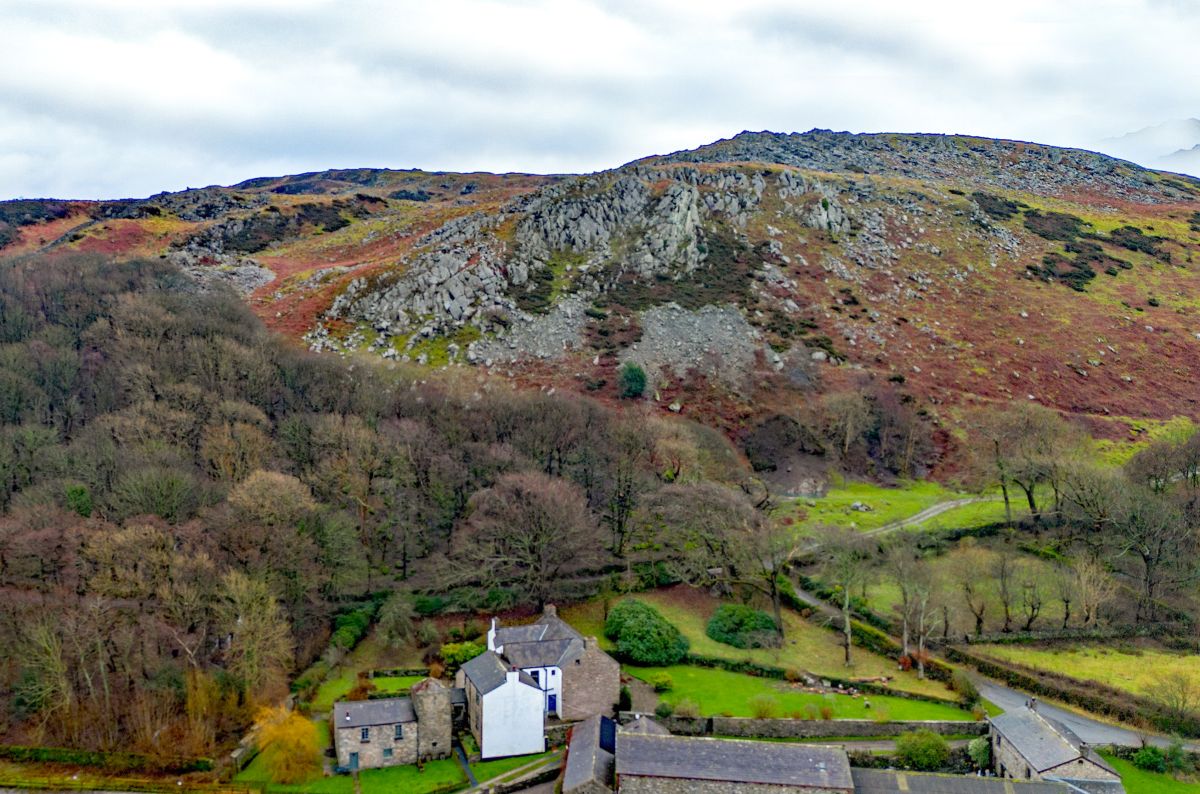
A broad grass path climbs a small valley through bracken, turns stony as it slants across a heathery slope, and bends sharply right for the last pull to the domed summit. The descent path is faint at first, then follows a wall past ruined farms and fords Hallfoss and Holegill Becks, which the AA's route notes call significant.
Stay within reach of the start
Everything here is inside 12 km of Black Combe from Whicham.
Booking links on these earn us a commission. The price you pay is the same either way.
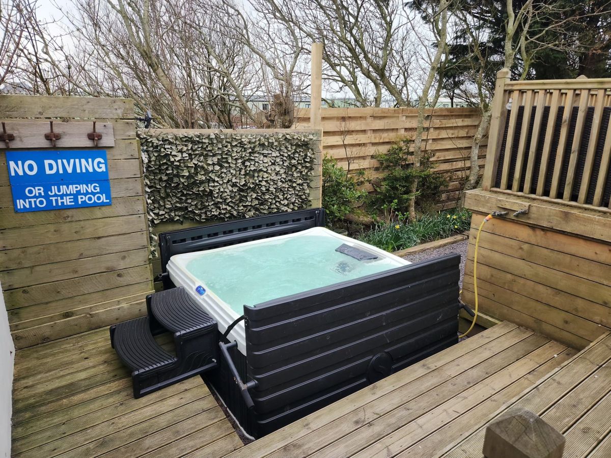
Silecroft, near Millom, Cumbria
Coombe Bungalow
Sleeps 8 · 4 beds
- Hot tub
- Wood burner
- Dogs
from £1,439 / week
Check dates for Coombe Bungalow (opens the booking site in a new tab)Checked 5 Oct
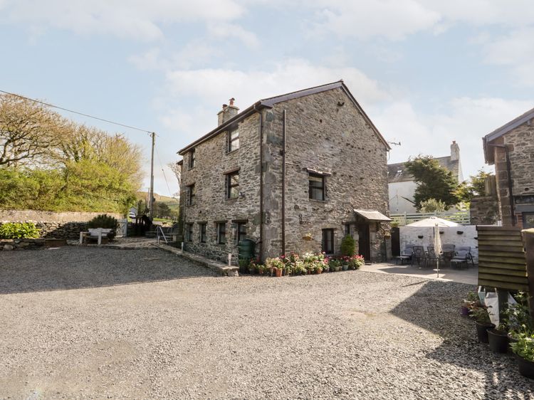
Kirksanton near Millom
Raceside Cottage
Sleeps 4 · 2 beds
- Dogs
from £552 / week
Check dates for Raceside Cottage (opens the booking site in a new tab)Checked 8 Oct
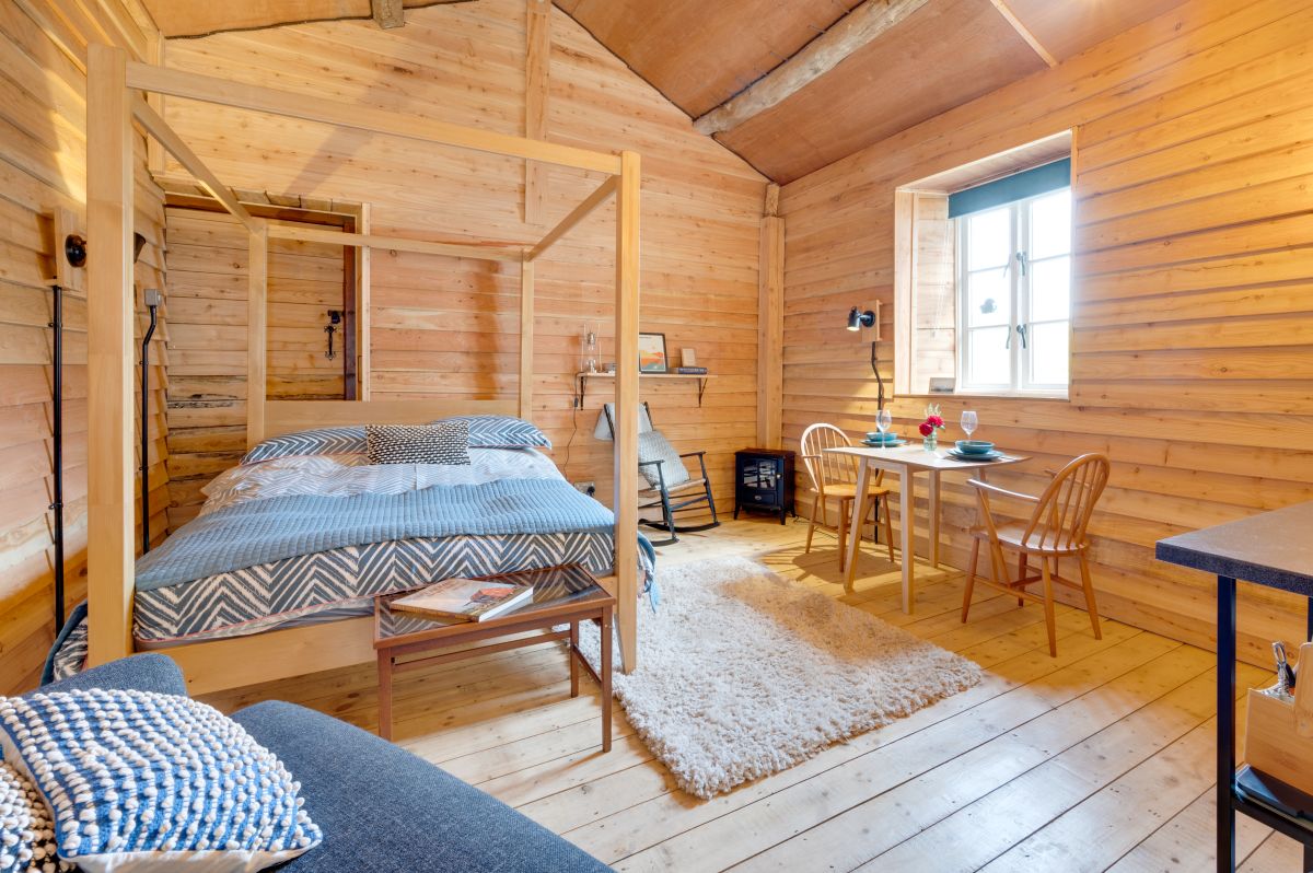
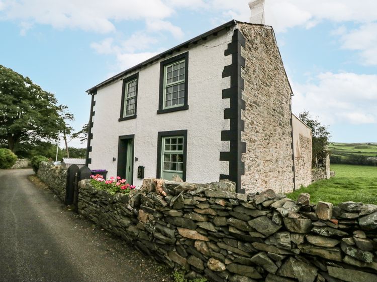
Millom
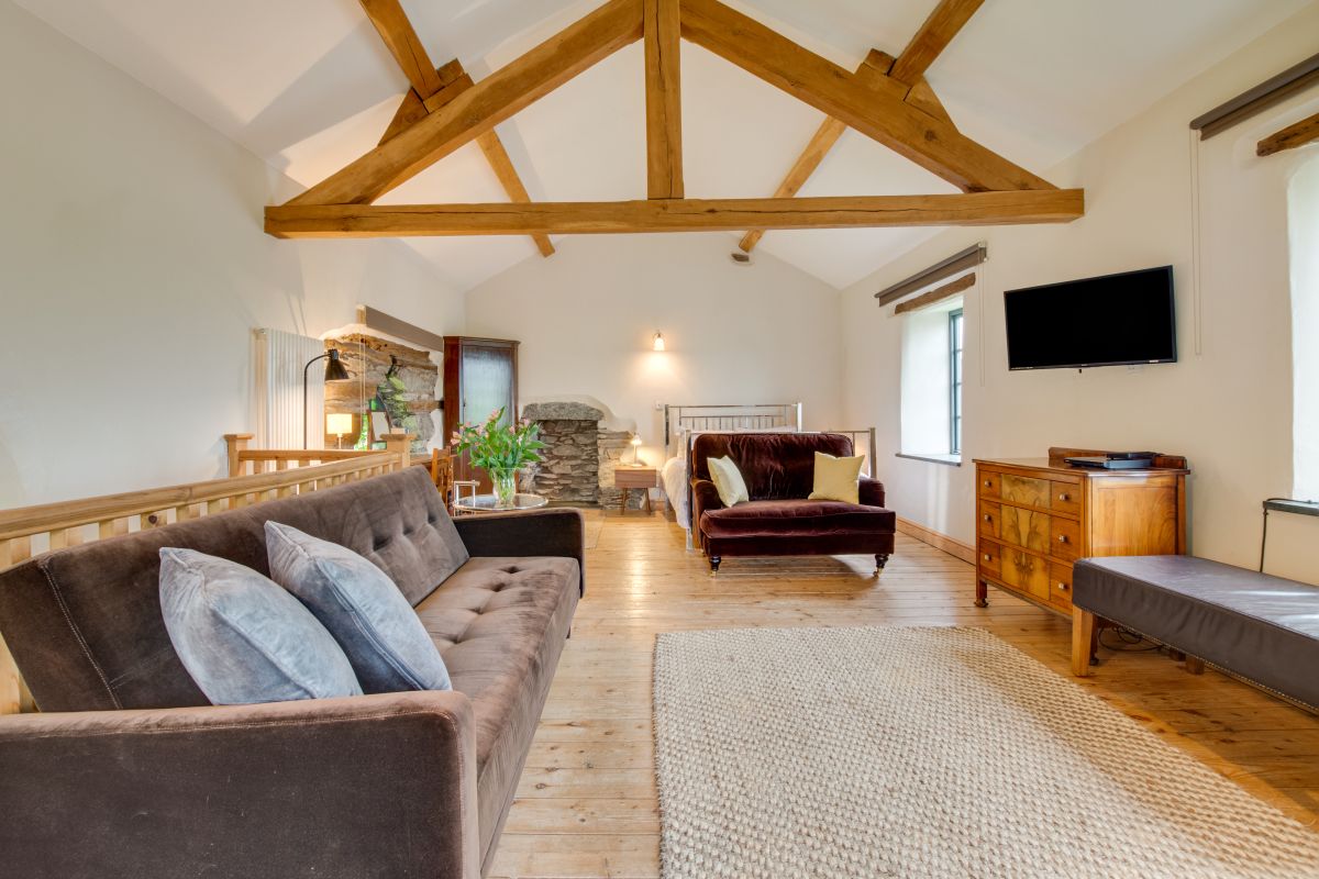
Holy Trinity Cottage
Sleeps 6 · 2 beds
- Dogs
from £508 / week
Check dates for Holy Trinity Cottage (opens the booking site in a new tab)Checked 8 Oct
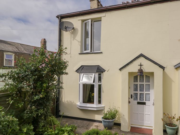
Haverigg
Shipwreck Cottage
Sleeps 4 · 2 beds
- Wood burner
- Dogs
from £556 / week
Check dates for Shipwreck Cottage (opens the booking site in a new tab)Checked 7 Oct
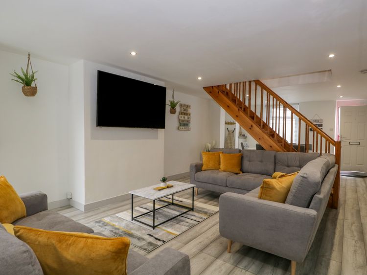
Haverigg
Harbour Retreat
Sleeps 8 · 4 beds
- Hot tub
- Dogs
from £449 / week
Check dates for Harbour Retreat (opens the booking site in a new tab)Checked 7 Oct
Distances, ascent and times here are planning figures taken from published sources, not a route description to navigate by. Take a map and check the forecast. We do not publish conditions, because nothing on this page is updated often enough for you to trust it on the day.