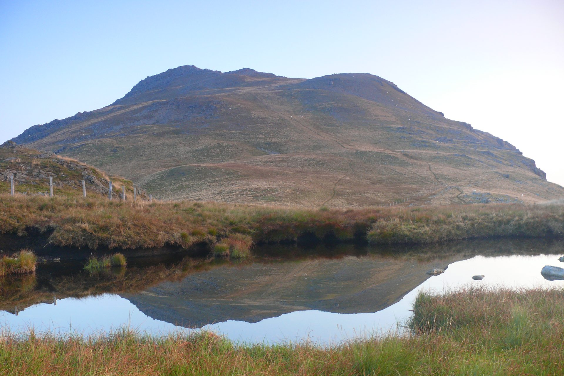
Arenig Fawr from Llyn Celyn
Near Bala, Eryri
- Distance
- 13 km
- Ascent
- 658 m
- Time
- 5 hr 50 min
- Difficulty
- Moderate
- Summit
- 854 m
- Shape
- Circular
Start: Waste-ground parking off a minor road from the A4212, near Arenig
Grid ref: SH 831392
Arenig Fawr stands alone at 854m north-west of Bala, above Llyn Celyn, and Wikipedia gives its Welsh name as meaning great high ground, with Moel yr Eglwys, bare hill of the church, as an alternative. The painters James Dickson Innes and Augustus John painted the mountain in 1911 and 1912, and the old Arenig Halt on the Bala to Ffestiniog line closed to passengers in 1960. On the summit a memorial records eight American aircrew who died when a B-17F bomber crashed on 4 August 1943, with wreckage still on the hillside 300m away.
The walk starts from a large area of waste ground, grid reference SH 831392, which Walking Britain reaches by turning off the A4212 north-west of Bala onto a minor road about a mile long; Visorando puts the same start at 52.9377N, 3.7409W, around 10km from Bala in a straight line, so it needs a car. The way passes Llyn Arenig Fawr, the reservoir that GPS Routes says supplies Bala and nearby villages, then climbs the south-east flank to a trig point, wind shelter and memorial. Wikipedia notes that there is no clearly marked path to the top and that walkers follow an old wire fence instead.
The circuit comes to 13km with 658m of ascent, around five hours fifty minutes on Walking Britain’s timing, and a moderate grade. The way down is the harder part: Visorando warns of unpathed ground, sheep trods in the heather and crags that have to be avoided, and recommends good navigation; the Ordnance Survey Explorer OL18 sheet covers it. It suits walkers comfortable with a map who want a quiet summit with a wartime memorial on it, and it is the wrong choice for anyone who needs a waymarked path or would be uneasy finding a line off crags in poor visibility. Walkers wanting a short outing should drive on past Dolgellau to the Cregennan Lakes instead.
Underfoot
A track and path beside Llyn Arenig Fawr, then pathless ground along an old wire fence to the summit; the descent is unpathed through heather and crags.
Stay within reach of the start
Everything here is inside 14 km of Arenig Fawr from Llyn Celyn.
Booking links on these earn us a commission. The price you pay is the same either way.
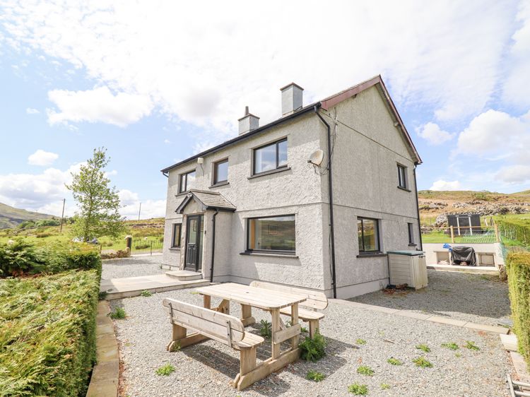
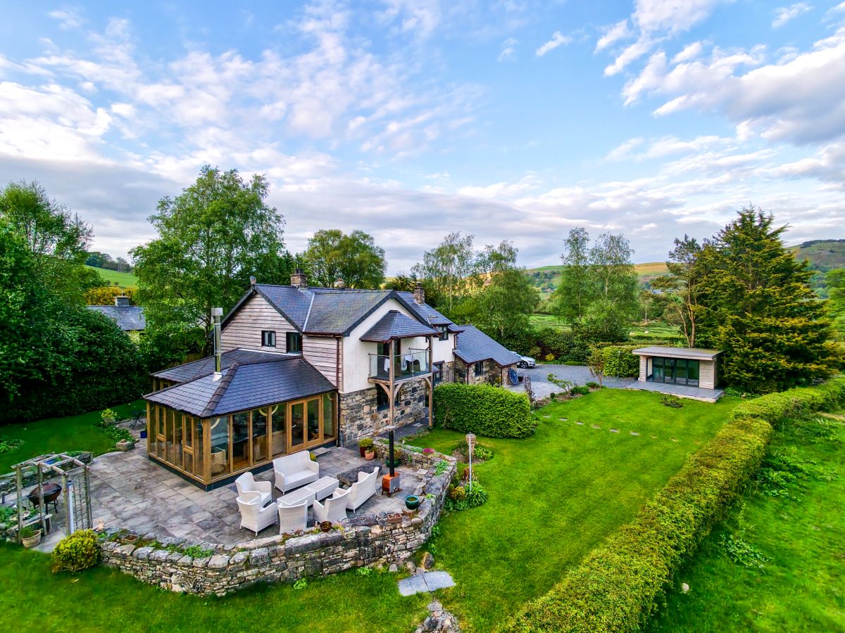
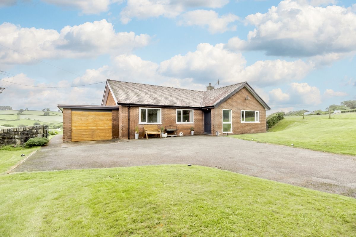
Fron Goch, near Bala, North Wales
Cysgod Y Garn
Sleeps 12 · 6 beds
- Hot tub
- Wood burner
- No dogs
from £1,957 / week
Check dates for Cysgod Y Garn (opens the booking site in a new tab)Checked 5 Oct
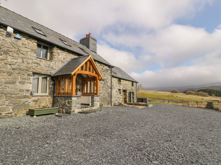
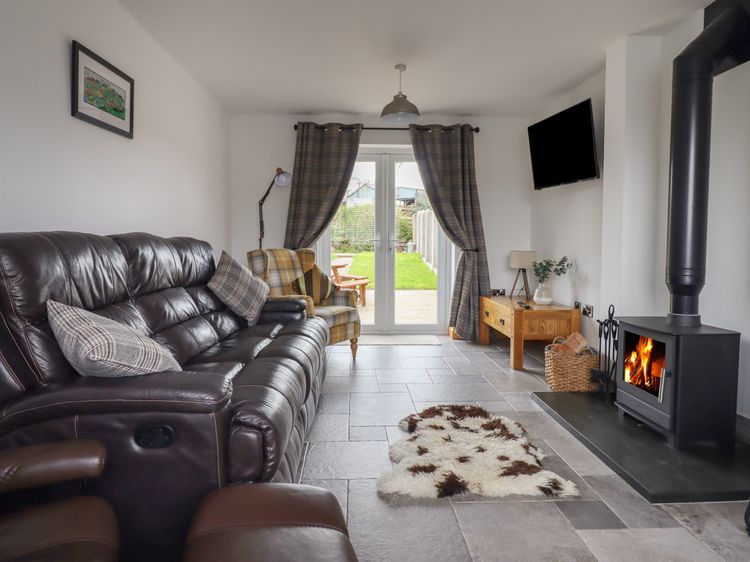
Capel Celyn near Bala
Hen Dy Craig Yr Ronwy
Sleeps 8 · 4 beds
- Hot tub
- Wood burner
- Dogs
from £991 / week
Check dates for Hen Dy Craig Yr Ronwy (opens the booking site in a new tab)Checked 8 Oct
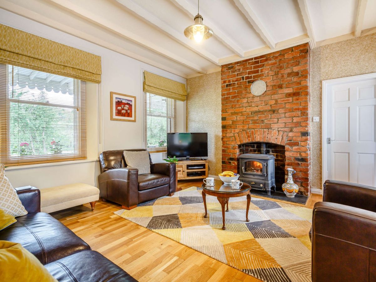
Fron Goch, near Bala, North Wales
The Old Railway Station
Sleeps 6 · 3 beds
- Hot tub
- Wood burner
- Dogs
from £700 / week
Check dates for The Old Railway Station (opens the booking site in a new tab)Checked 5 Oct
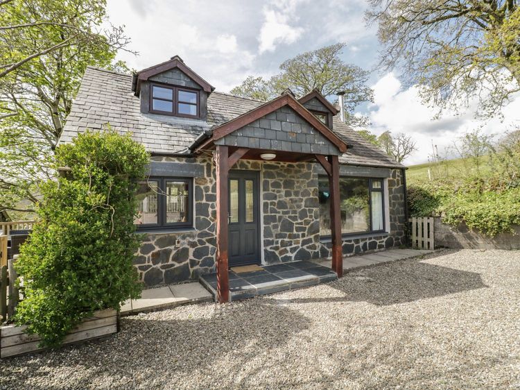
Parc near Bala
Cyffdy Cottage - Aran
Sleeps 4 · 2 beds
- Wood burner
- Dogs
from £516 / week
Check dates for Cyffdy Cottage - Aran (opens the booking site in a new tab)Checked 8 Oct
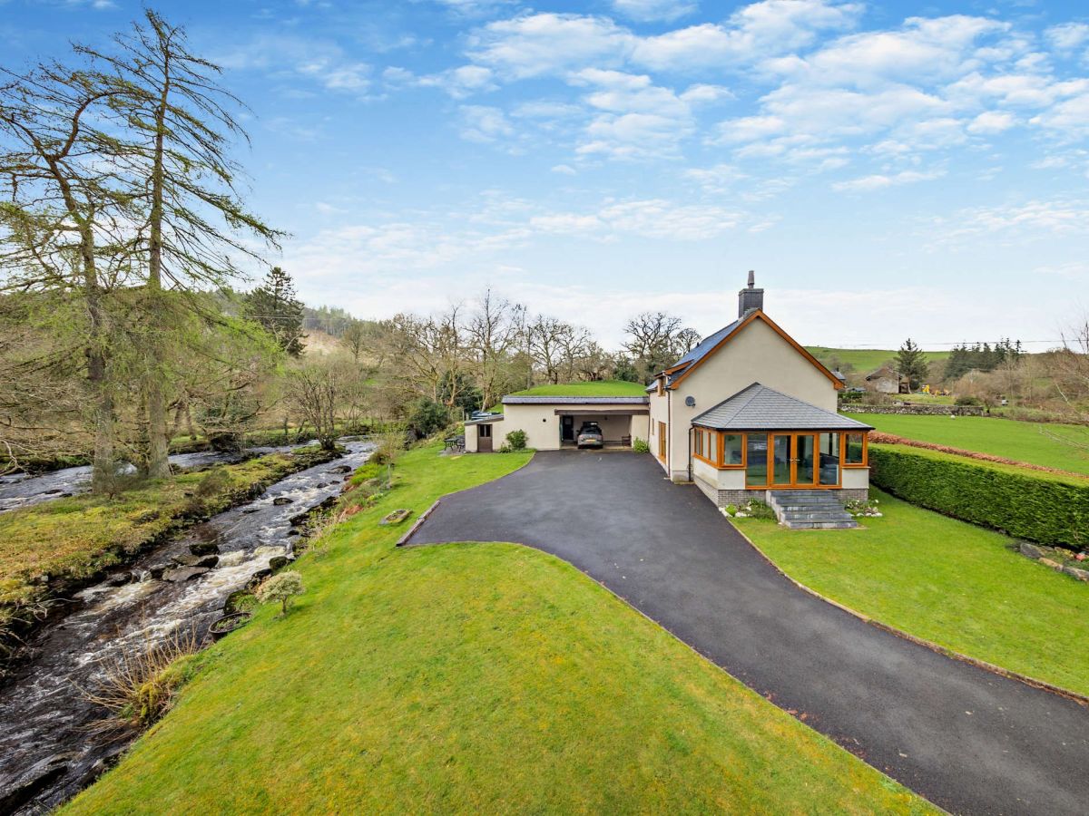
Llanuwchllyn, near Bala, North Wales
Capel Dolhendre
Sleeps 6 · 3 beds
- Wood burner
- Dogs
from £695 / week
Check dates for Capel Dolhendre (opens the booking site in a new tab)Checked 5 Oct
Distances, ascent and times here are planning figures taken from published sources, not a route description to navigate by. Take a map and check the forecast. We do not publish conditions, because nothing on this page is updated often enough for you to trust it on the day.