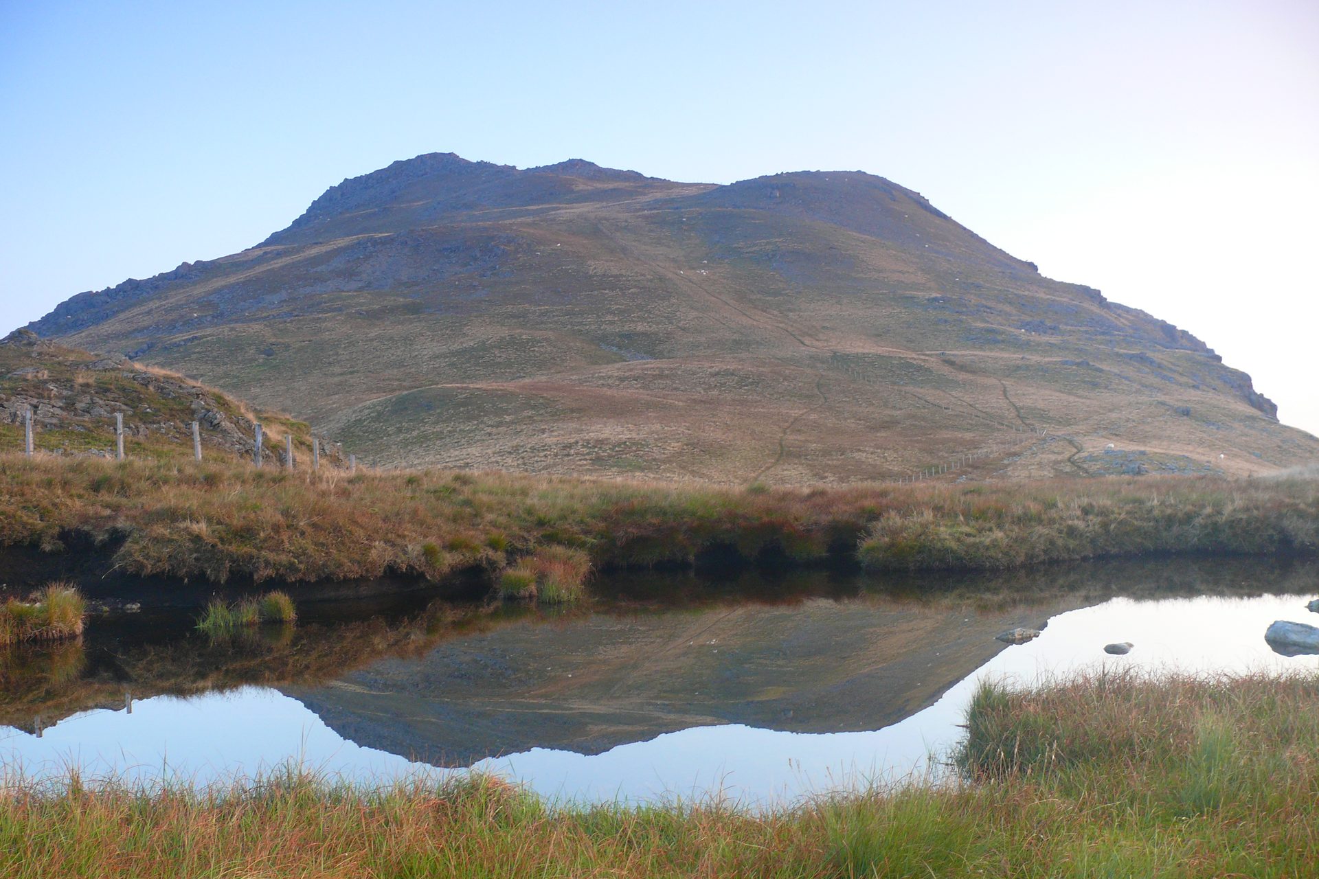
Arenig Fawr from Llyn Celyn
A lone 854m summit above Bala, reached past the reservoir Llyn Arenig Fawr to a trig point and the memorial to the crew of a 1943 Flying Fortress.
- 13 km
- 658 m up
- 5 hr 50 min
- Moderate
Llyn Tegid's northern shore, and the base for the Arans.
None; Barmouth, Wrexham and Chester are the nearest railway stations
2
87
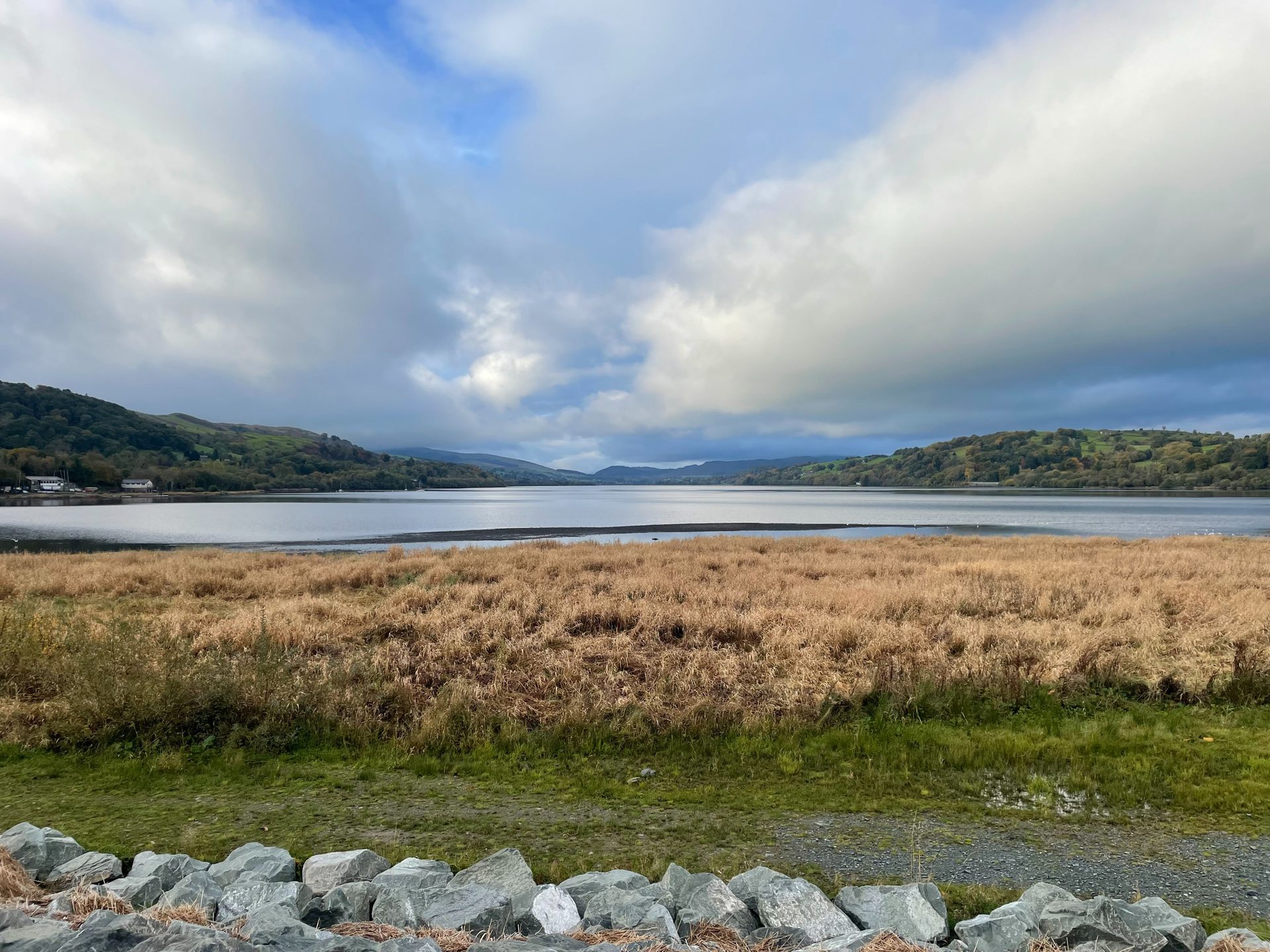
Bala sits at the north end of Llyn Tegid, which Wikipedia gives as 3.7 miles long and 800 metres wide, and which was the largest natural body of water in Wales even before Thomas Telford raised its level to feed the Ellesmere Canal. The town had around 2,000 residents at the 2021 census, 72.5 per cent of them Welsh speakers, and it was the home of the Rev. Thomas Charles, a founder of the British and Foreign Bible Society.
Bala sits between two big mountains, well south of the busy bases in the north of Eryri. Arenig Fawr, at 854m, stands alone to the north-west and is climbed from a car park off the A4212; the Aran Fawddwy climb, at 905.6m the highest British mountain south of Yr Wyddfa by Wikipedia’s account, starts on the other side of the range. Arenig Fawr has no marked path to the top, and the Aran ridge is followed beside a fence, so both ask for more navigation than the built tracks up Yr Wyddfa. The lake and the Afon Tryweryn, home to the Canolfan Tryweryn National Whitewater Centre, fill the days between hill days.
Neither walk starts in the town. The Arenig Fawr car park is on a minor road about a mile off the A4212, around 10km from Bala in a straight line. The Aran Fawddwy start at Cwm Cywarch is about 19km away in a straight line, and Walking Britain gives the road as the one from the A470 at Dinas Mawddwy, so it is a drive round the hills. Both want a car. For a day without one, the Bala Lake Railway runs 4.5 miles along the south-east shore of Llyn Tegid from Llanuwchllyn to Bala, on the trackbed of the old Ruabon to Barmouth line.
Bala’s railway stations closed in 1965, and the nearest stations today, per Visit Bala, are Wrexham, Chester and Barmouth. The T3 bus runs between Wrexham and Barmouth by way of Llangollen, Corwen, Bala and Dolgellau, according to Traveline Cymru, and is the route to Dolgellau, the next base along for Cadair Idris. Walking Britain lists Ordnance Survey Explorer OL23 for the Arans and OL18 for Arenig Fawr.
The A494 connects Bala to Dolgellau, 18 miles to the south-west, and the A4212 runs north-west from the town past the turning for Arenig Fawr.
A lone 854m summit above Bala, reached past the reservoir Llyn Arenig Fawr to a trig point and the memorial to the crew of a 1943 Flying Fortress.
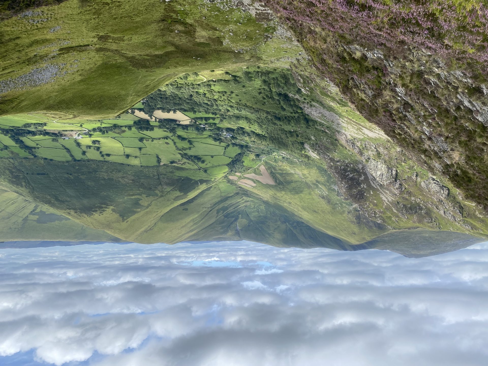
The highest mountain in Britain south of Yr Wyddfa, climbed from the head of Cwm Cywarch, with a cliff above Creiglyn Dyfi, the source of the Dyfi.
Booking links on these earn us a commission. The price you pay is the same either way.
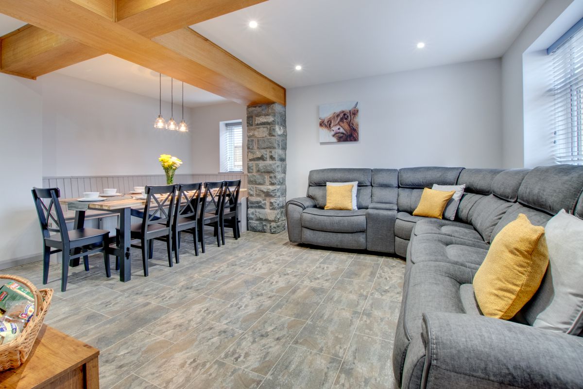
Bala, North Wales
Sleeps 9 · 5 beds
from £1,192 / week
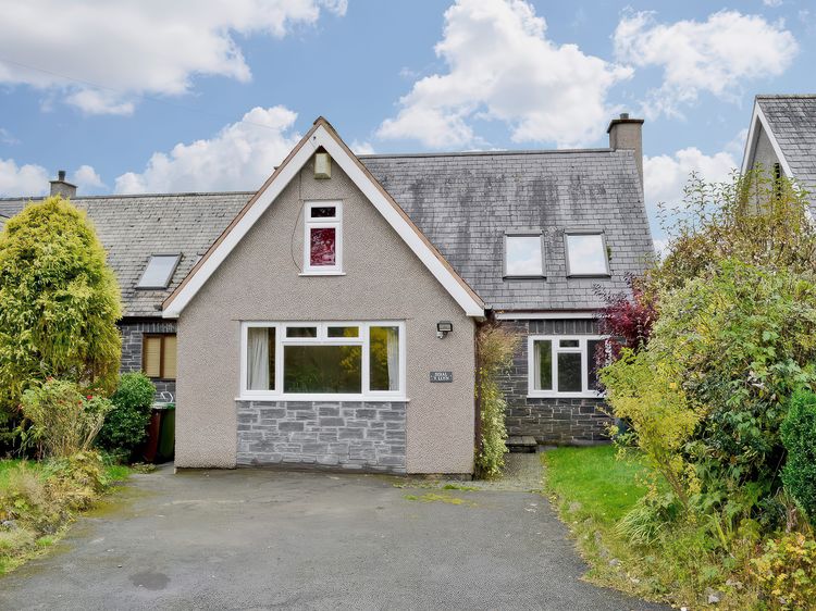
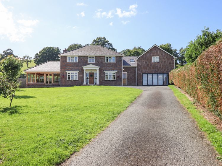
Check dates for Gwynle Townhouse, Bala (opens the booking site in a new tab)Checked 5 Oct
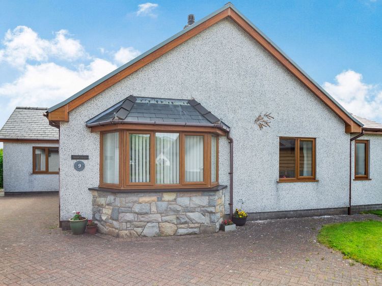
Bala
Sleeps 4 · 2 beds
from £816 / week
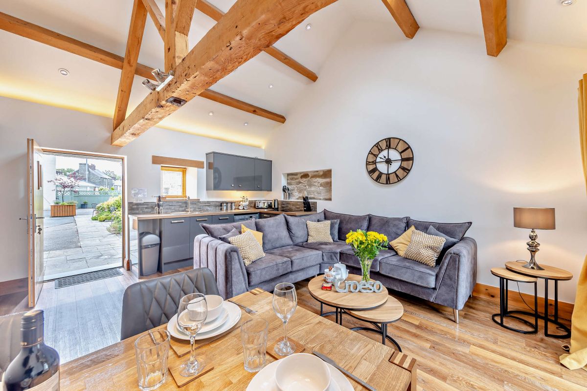
Check dates for Golygfa'r Orsaf Snowdonia National Park (opens the booking site in a new tab)Checked 8 Oct
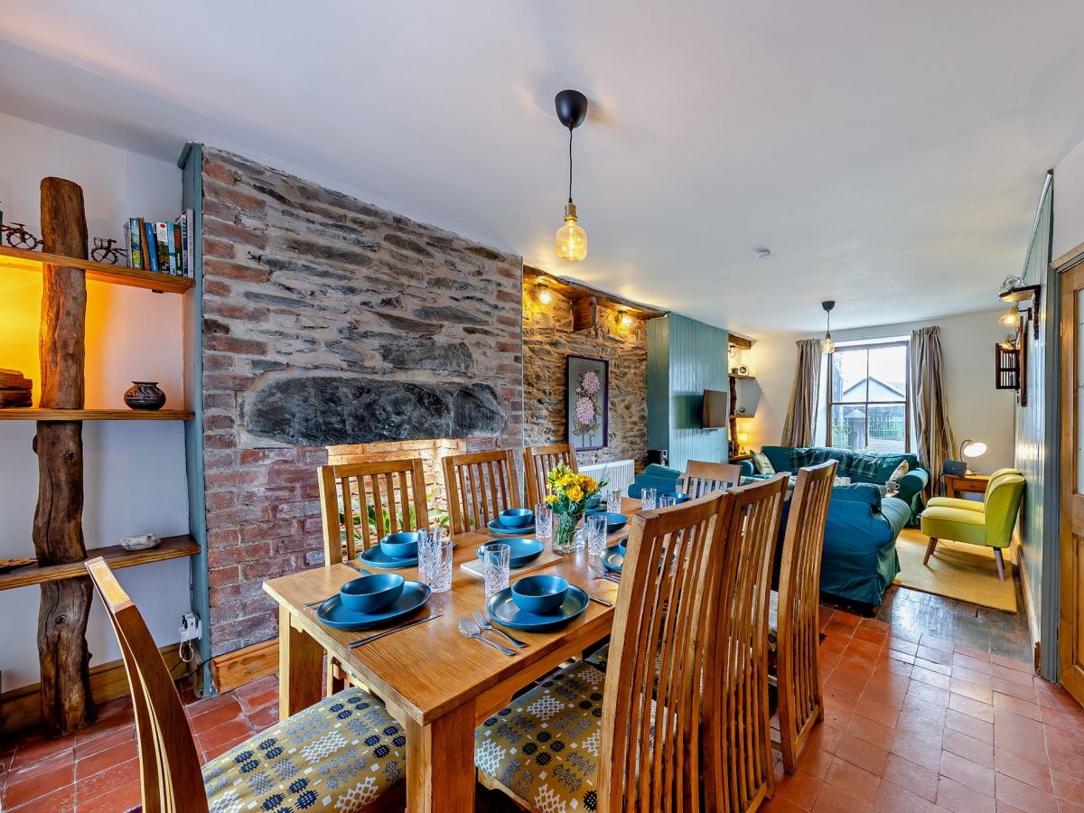
Bala, North Wales
Sleeps 4 · 2 beds
from £558 / week
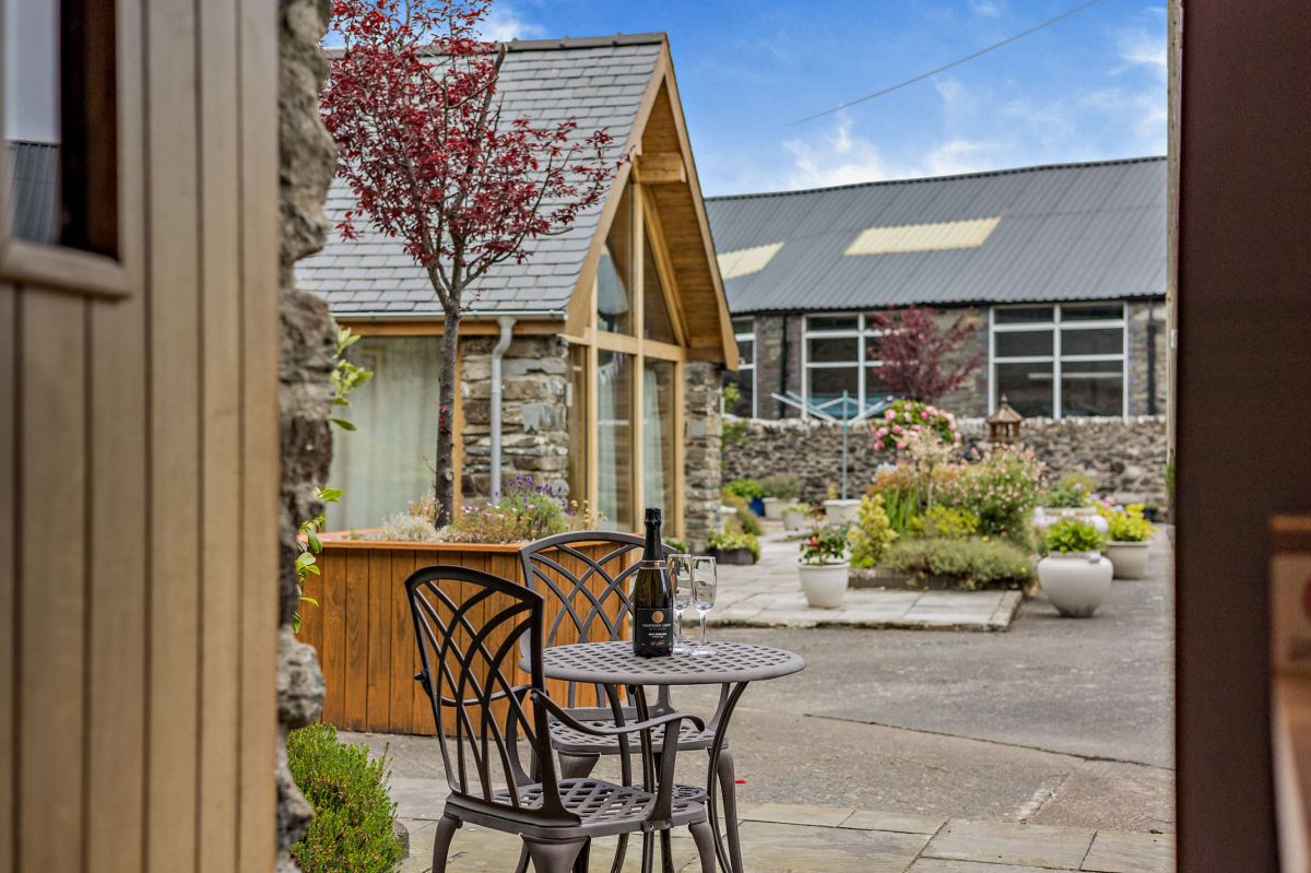
Check dates for Stabal Llew Coch (opens the booking site in a new tab)Checked 5 Oct