Conwy Mountain (Mynydd y Dref)
Near Conwy, Eryri
- Distance
- 8 km
- Ascent
- 279 m
- Time
- 3 hr
- Difficulty
- Moderate
- Summit
- 244 m
- Shape
- Circular
- Parking
- Paid
- Dogs
- Yes: under close control among the ponies and sheep
Start: Castle Square, Conwy
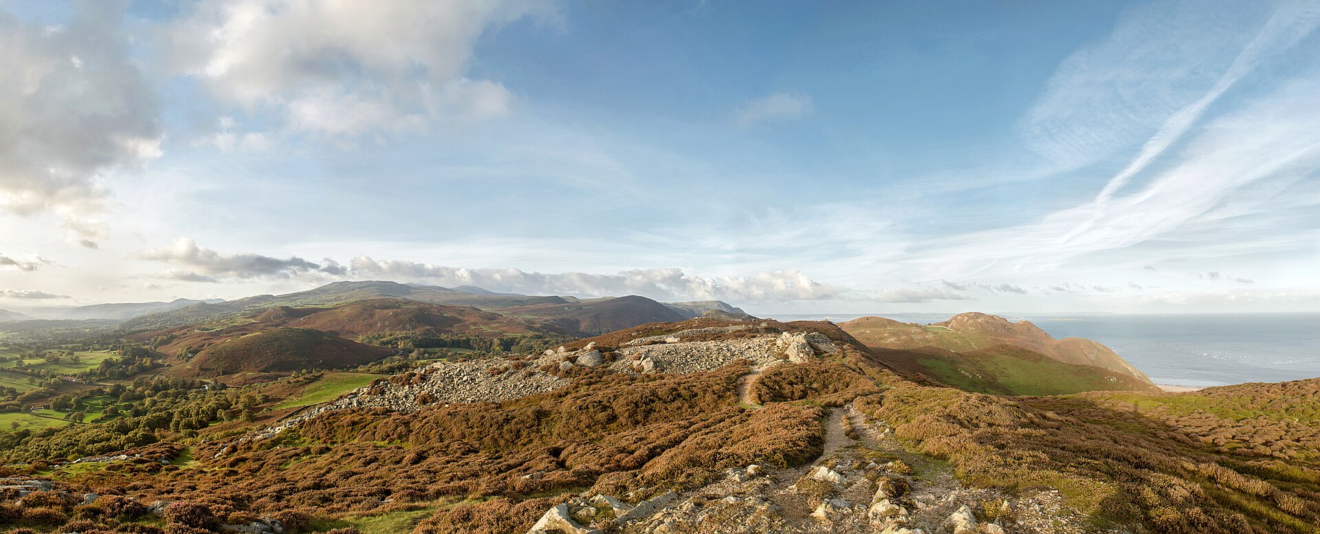
Conwy Mountain, Mynydd y Dref in Welsh, rises directly above the town to 244 metres. A circular walk from Castle Square takes in the quay and harbour before climbing to the summit and back, covering about 8 kilometres with 279 metres of ascent in around three hours. Countryfile, which gives those figures, grades the walk moderate, for the climb rather than any technical difficulty.
The summit is capped by Castell Caer Seion, an Iron Age hillfort and a scheduled ancient monument on Cadw’s register, with a stone-walled enclosure that once held more than fifty hut circles and platform houses, plus a separately defended citadel within the main fort. Excavations in 1951 found slingstones, querns and stone pestles and mortars, and, unlike many Welsh hillforts, there is no evidence the site was reoccupied later in the Roman period.
From the top, the view takes in Conwy town and castle directly below, the Great Orme headland to the north, Conwy Bay, and the foothills of the Carneddau extending inland to the south, since this mountain marks the range’s northernmost outpost. Wild ponies and sheep graze freely on the open hillside, and visitors are asked to keep dogs under close control. The long-distance North Wales Path crosses the summit on its way west towards Sychnant Pass.
This suits visitors staying in Conwy who want a hill day without leaving the town on foot, and it works as a first taste of open mountain country before tackling anything further into Eryri. It does not suit anyone after a level harbour stroll, since even the modest summit height means a sustained climb from sea level; anyone after a short stop rather than a walk can drive up to Sychnant Pass, at the hill’s western end.
Underfoot
Harbour paths, then road walking before mountain footpaths climb through heather and rocky outcrops, where sheep and wild ponies graze freely.
Stay within reach of the start
Booking through these links earns a commission. The price is the same.
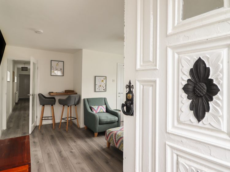
Conwy
The Old Coach House
Sleeps 4 · 2 beds
- No dogs
from £489 / week
Check dates for The Old Coach House (opens the booking site in a new tab)Checked 8 Oct
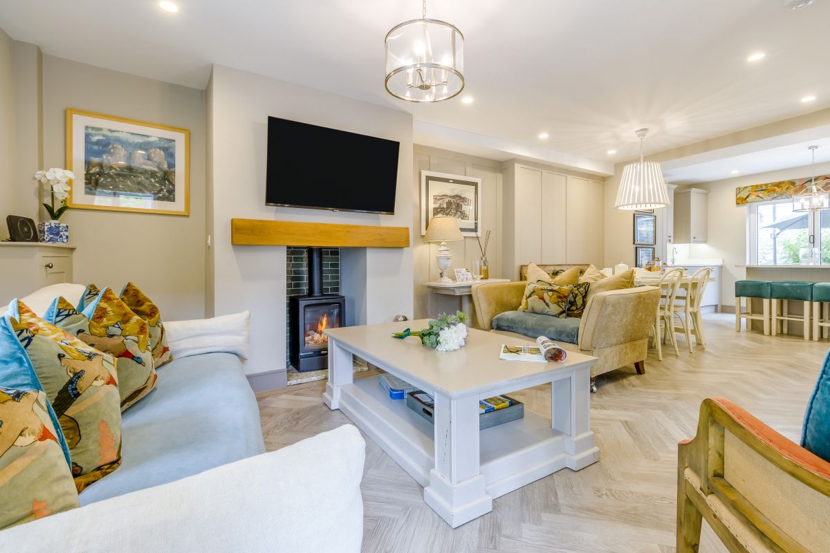
Conwy, North Wales
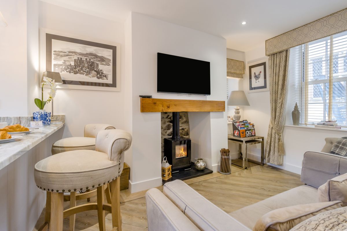
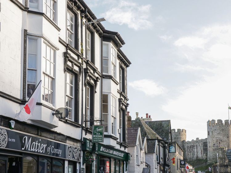
Mulberry Cottage
Sleeps 4 · 2 beds
- Wood burner
- Dogs
from £987 / week
Check dates for Mulberry Cottage (opens the booking site in a new tab)Checked 5 Oct
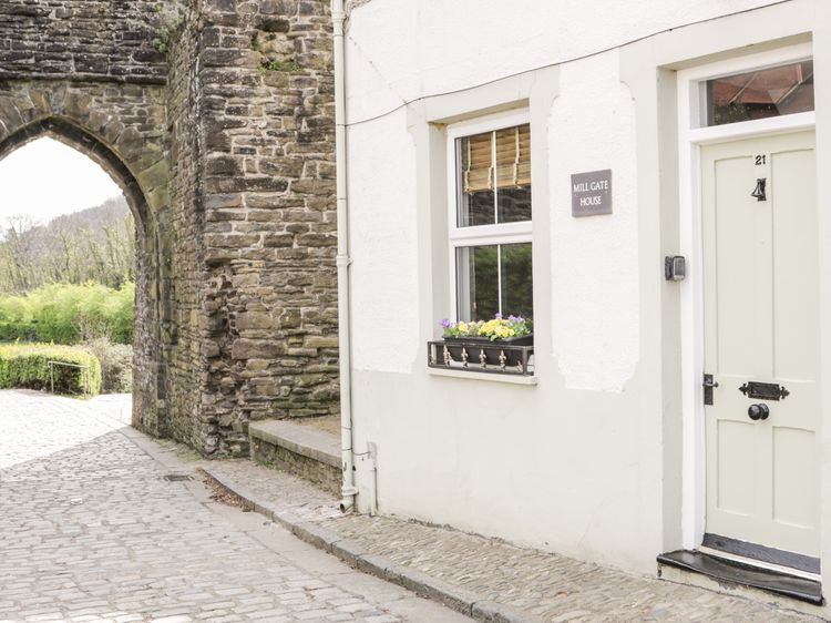
Conwy
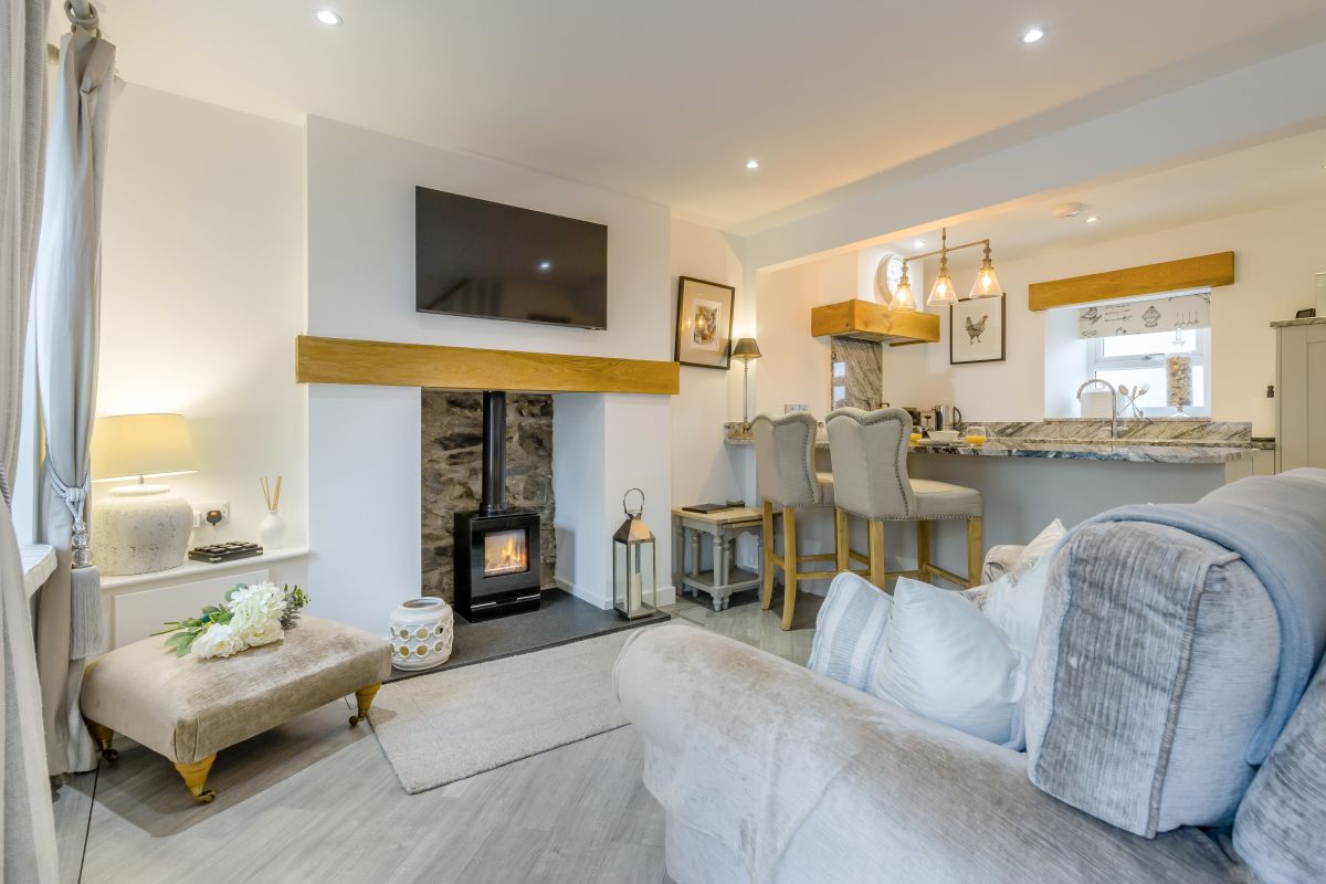
Castle Apartment
Sleeps 4 · 2 beds
- Wood burner
- No dogs
from £417 / week
Check dates for Castle Apartment (opens the booking site in a new tab)Checked 8 Oct
Conwy, North Wales
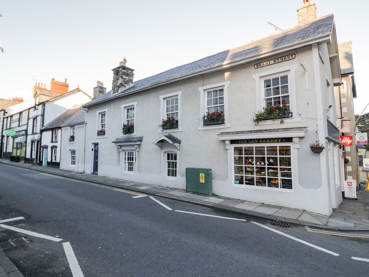
9 Chapel Street
Sleeps 2 · 1 bed
- Dogs
from £565 / week
Check dates for 9 Chapel Street (opens the booking site in a new tab)Checked 5 Oct
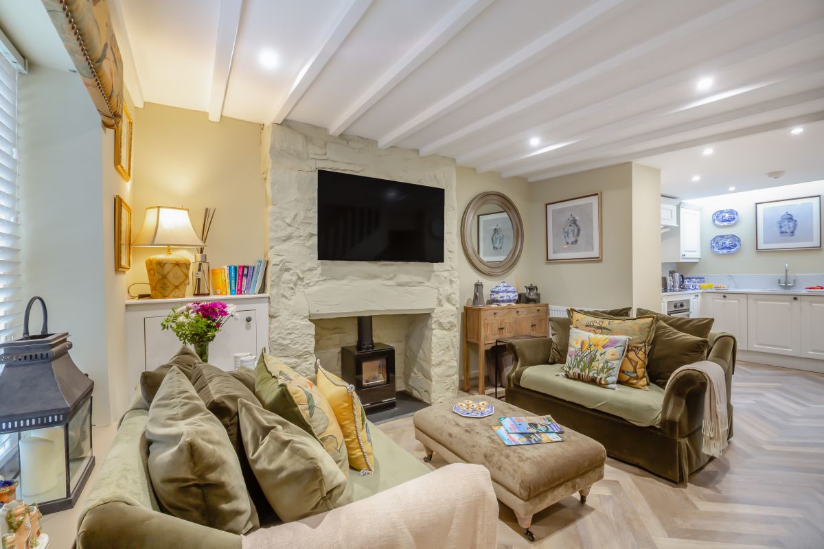
Conwy, North Wales
Crown Lane Cottage
Sleeps 2 · 1 bed
- Dogs
from £665 / week
Check dates for Crown Lane Cottage (opens the booking site in a new tab)Checked 5 Oct
Distances, ascent and times here are planning figures taken from published sources, not a route description to navigate by. Take a map and check the forecast.