Creag Bheag from Kingussie
- Distance
- 7.4 km
- Ascent
- 270 m
- Time
- 3 hr 30 min
- Difficulty
- Moderate
- Summit
- 487 m
- Shape
- Circular
Start: Ardvonie car park in the centre of Kingussie
Grid ref: NH 755007
Creag Bheag rises above Kingussie, which Walkhighlands calls the capital of Badenoch. Its Sub2000 listing gives the height as 487m and describes a fine and steep little hill with rock-climbers’ crags near the summit and excellent views. The Walkhighlands route, for which it lists Ordnance Survey paper map OL56 Badenoch, starts from the Ardvonie car park, the main one signposted in the centre of town, reached by taking the road north beside the Duke of Gordon hotel and turning left; an information board there maps the walks around Kingussie, and this one combines the Creag Bheag, West Terrace and Tom Baraidh routes into the longest circuit, with shorter ones for anyone who prefers them.
The path begins between the information board and the public toilets, joins a road briefly and turns along West Terrace, a quiet lane past many fine old villas. A track and then a path climb through woods beside a wall to a gate, and the way to the top crosses heather and regenerating woodland, passing a stone shelter housing a seat before it reaches the summit cairn. Walkhighlands notes that climbers may be visible belaying below the crag, and a second shelter further along the ridge looks down on the town. The descent gives a view of Loch Gynack backed by the Monadh Liath, then steepens through scattered birch. Lower down, a ruined house is all that remains of the Toman an t-Seomair township, engulfed by the golf course, and the route crosses the river by a large wooden bridge to the Tom Baraidh pine plantation, where Walkhighlands says a quiet walker has a great chance of seeing red squirrels.
The round is 7.4km with 270m of ascent in two and a half to three and a half hours, entirely waymarked. A summit, a view and a pine wood in under half a day, starting on foot from the town, is what it offers a walker. It does not suit anyone who wants level going, since Walkhighlands calls the route over the hill, and the descent in particular, steep and rocky in places. For a flat walk, the Loch an Eilein Circuit is 5km on a level path, and Ben Vrackie is the bigger hill.
Underfoot
Waymarked paths and quiet lanes; the climb crosses heather and regenerating woodland to a stone cairn, and the route over the hill, particularly the descent, is steep and rocky in places before it drops to a golf course, a river bridge and forest tracks.
Stay within reach of the start
Everything here is inside 30 km of Creag Bheag from Kingussie.
Booking links on these earn us a commission. The price you pay is the same either way.
Kingussie, Northern Scotland
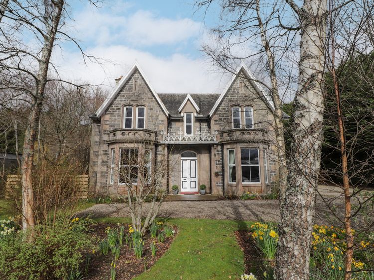
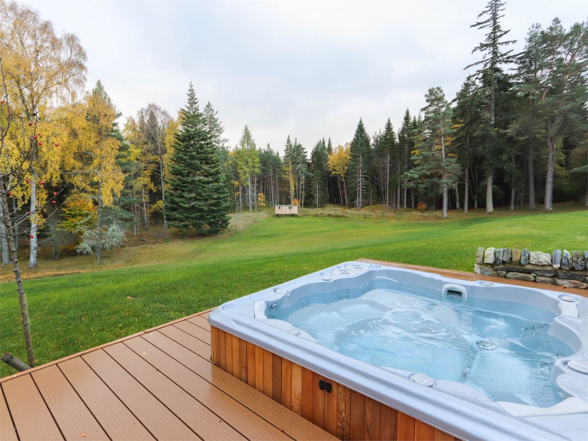
Hill View Lodge
Sleeps 14 · 7 beds
- Hot tub
- Wood burner
- Dogs
from £5,099 / week
Check dates for Hill View Lodge (opens the booking site in a new tab)Checked 5 Oct
Newtonmore, Northern Scotland
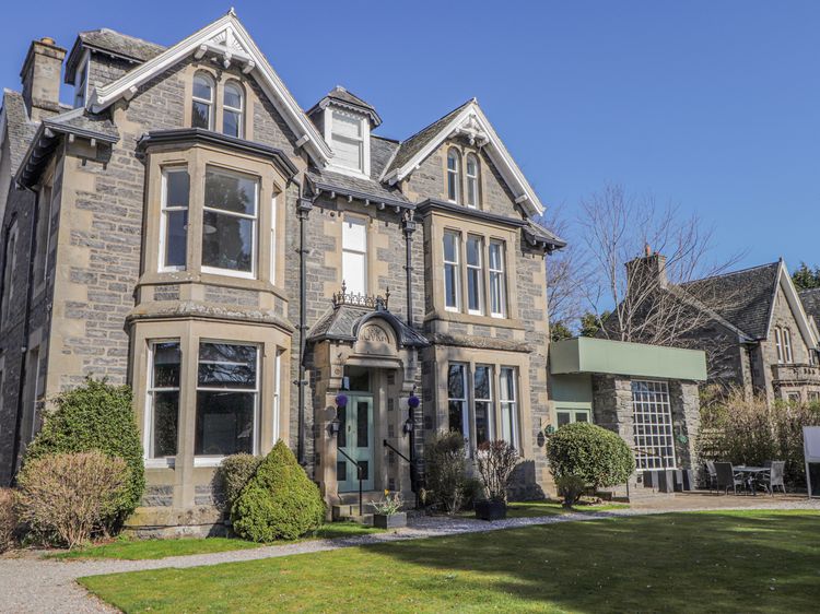
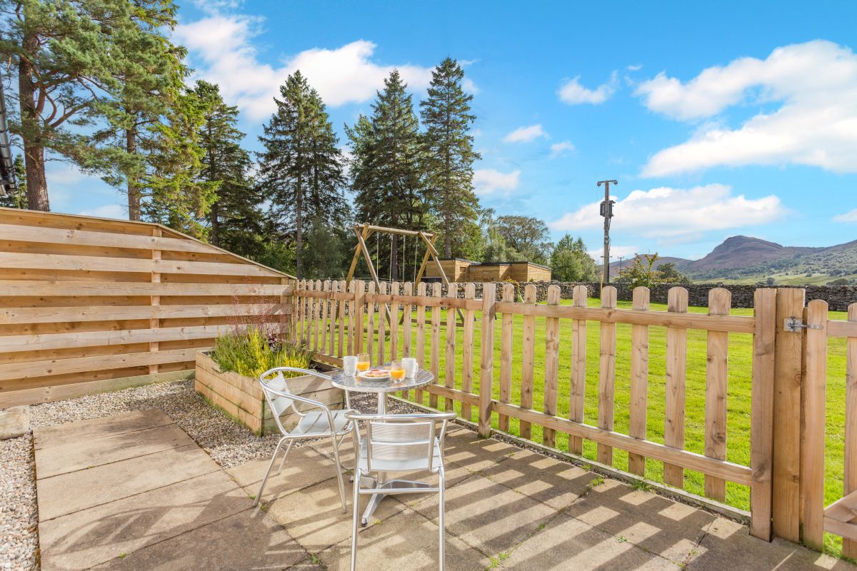
Craobhan Mòr -1
Sleeps 2 · 1 bed
- Wood burner
- Dogs
from £649 / week
Check dates for Craobhan Mòr -1 (opens the booking site in a new tab)Checked 9 Oct
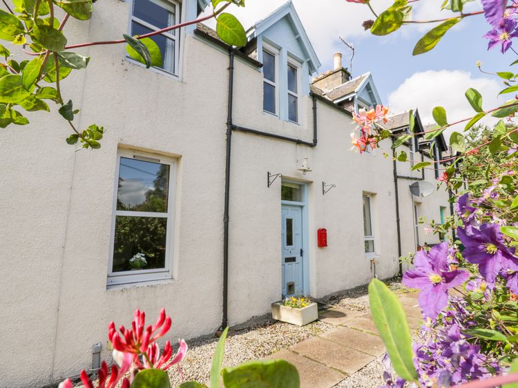
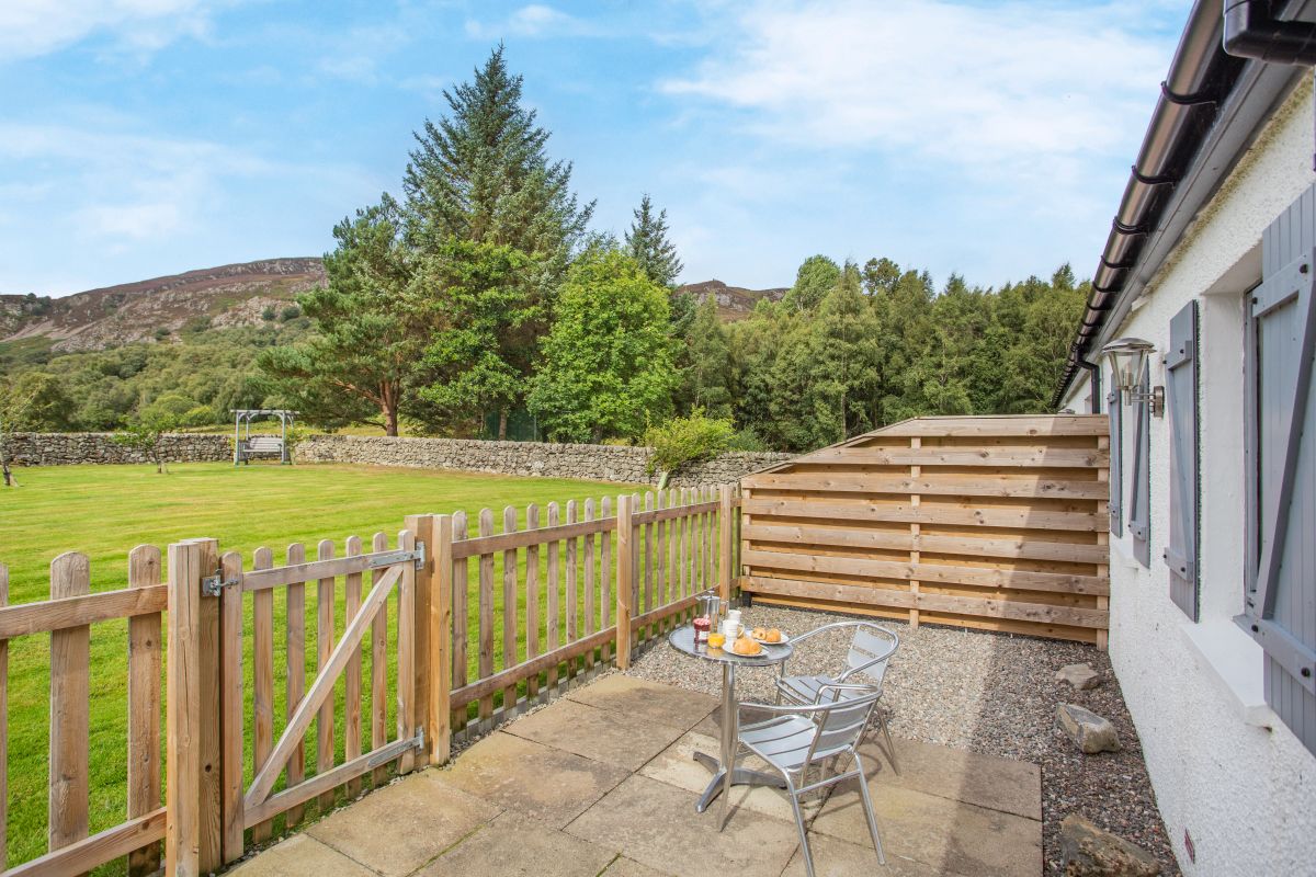
Newtonmore, Northern Scotland
Craobhan Mòr - 2
Sleeps 2 · 1 bed
- Wood burner
- Dogs
from £649 / week
Check dates for Craobhan Mòr - 2 (opens the booking site in a new tab)Checked 9 Oct
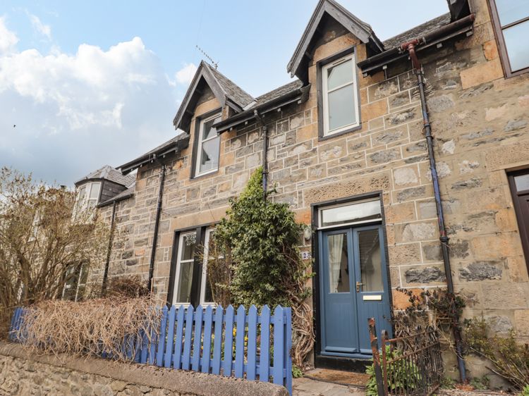
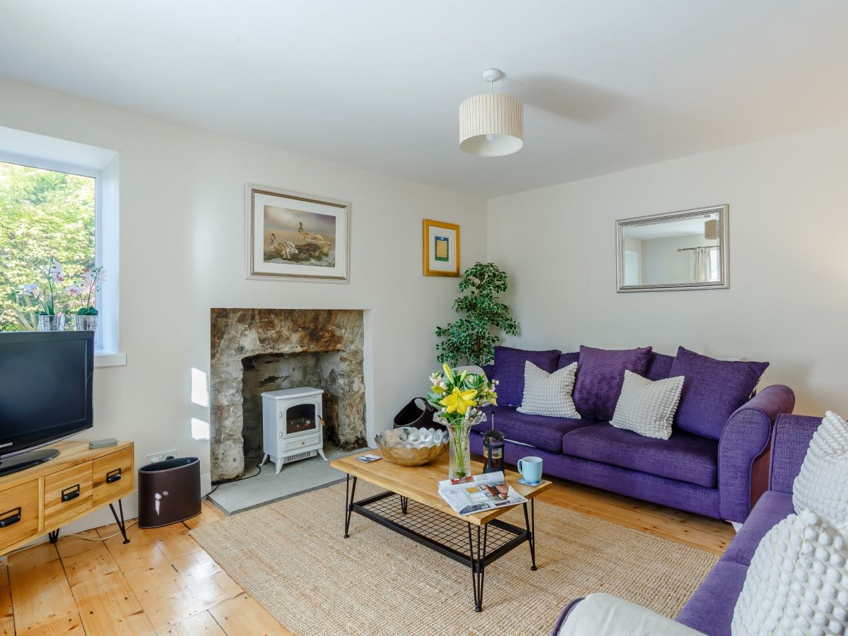
Laggan, near Newtonmore, Northern Scotland
Corriebuie Cottage
Sleeps 6 · 3 beds
- Wood burner
- No dogs
from £762 / week
Check dates for Corriebuie Cottage (opens the booking site in a new tab)Checked 9 Oct
Distances, ascent and times here are planning figures taken from published sources, not a route description to navigate by. Take a map and check the forecast. We do not publish conditions, because nothing on this page is updated often enough for you to trust it on the day.