
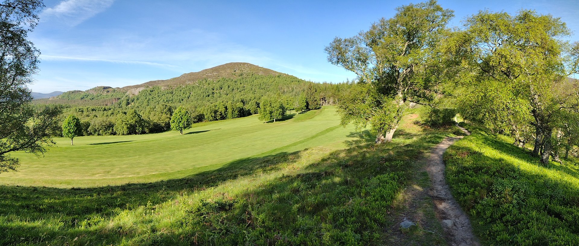
Creag Bheag from Kingussie
A small hill of 487m above Kingussie, walked from the town centre over a rocky summit, with views of Loch Gynack and a return through pinewoods.
Moderate
- 7.4 km
- 270 m up
- 3 hr 30 min
Gaelic: Ceann a' Ghiùthsaich
Badenoch's two railway villages, below the Monadhliath.
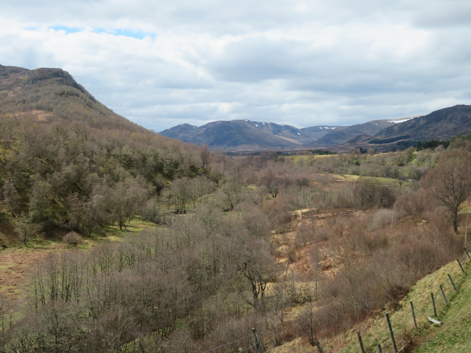
249 m
Kingussie
0.5 km by road
Kingussie and Newtonmore both have stations on the Highland Main Line, served by ScotRail, and the Caledonian Sleeper calls at Newtonmore.
Kingussie and Newtonmore are two villages 3 miles apart in Badenoch, at the south-western end of Strathspey, and the Cairngorms National Park Authority counts both among its towns. Kingussie, from the Gaelic for the head of the pine forest, was laid out by the 4th Duke of Gordon away from the flood-prone Spey, Wikipedia says, and grew after the railway arrived in 1863; Newtonmore’s first houses went up in 1820 for dispossessed tenants, and it was where drovers from Perth, Fort William and Inverness met. Across the Spey from Kingussie stand the ruins of Ruthven Barracks, built after the rising of 1715; Historic Environment Scotland records that a Jacobite attack failed to take them in 1745, a heavier one forced their surrender the next year, and the Jacobites rallied there after Culloden.
The case for sleeping here is the broad plateau of the Monadhliath to the north-west, and a stretch of the Spey where both villages have a station. Aviemore, 12 miles north, is the base for the Cairngorms proper; this is the base for the hills on the other side of the strath, and for walkers who would rather arrive by train.
Several walks start in Kingussie. Creag Bheag climbs to 487m straight from the Ardvonie car park in the centre of the town. Walkhighlands’ Loch Gynack route, 11.25km with 365m of ascent, goes over the moor past the loch to Newtonmore and finishes along the cycle path, waymarked but rough and muddy in the woods. Carn an Fhreiceadain, a Corbett at 878m, is 18km and 682m from the same car park on a stony track over a managed grouse moor. In Newtonmore the Wildcat Trail circles the village from the station in 10.25km, and Walkhighlands carries a warning about a damaged section by the Calder gorge, so check with the Wildcat Centre before relying on it.
The Monadhliath Munros start at the end of the minor road up Glen Banchor, which Walkhighlands puts 3km from Newtonmore station: Càrn Dearg, Càrn Sgulain and A’ Chailleach make a 24.6km round with 950m of ascent in eight to nine hours, rough and boggy going with peat hags on a featureless plateau where a line of fenceposts helps navigation. A’ Chailleach alone, Walkhighlands says, is the most ascended and perhaps the finest of the range. Creag Dubh, above the A86 south-west of Newtonmore, is only 5km but 503m of extremely rough, steep ground among big crags, and Walkhighlands calls its summit unsurpassed as a viewpoint for Badenoch. Creag Meagaidh, on Loch Laggan, is about 21 miles away by the A86.
Both stations are on the Highland Main Line and are served by ScotRail, and the Caledonian Sleeper calls at Newtonmore, Wikipedia says. Stagecoach route 39 runs from Inverness through Aviemore to Kingussie and Newtonmore. The Ardvonie car park in Kingussie is Highland Council’s, run on an invitation-to-pay scheme the Strathspey Herald reports began in 2023, rather than a charge. The A9 bypasses both villages, and the A86 leaves Newtonmore west for Laggan and Spean Bridge.
The Highland Folk Museum on the Kingussie road at Newtonmore is the obvious day: High Life Highland, which runs it, describes more than 35 reconstructed buildings from the 1700s to the mid-1900s with costumed interpreters, free to enter with donations welcomed, though the car park charges. In Newtonmore the Wildcat Centre sells packs for a hunt for the painted model wildcats around the village, and the park authority describes the 2.6km Jack Richmond Memorial Park walk as wheelchair and buggy accessible. Creag Bheag is short, but Walkhighlands describes its descent as steep and rocky in places; the Gynack Mill Trail, 2.3km on clear paths beside the burn through Kingussie, is the gentler walk.
Creag Bheag and the Loch Gynack walk start from the Ardvonie car park in Kingussie, which Highland Council runs on voluntary donations; the Highland Folk Museum charges for parking.
Kingussie and Newtonmore lie just off the A9 between Perth and Inverness; the A86 leaves Newtonmore for Laggan and Spean Bridge.
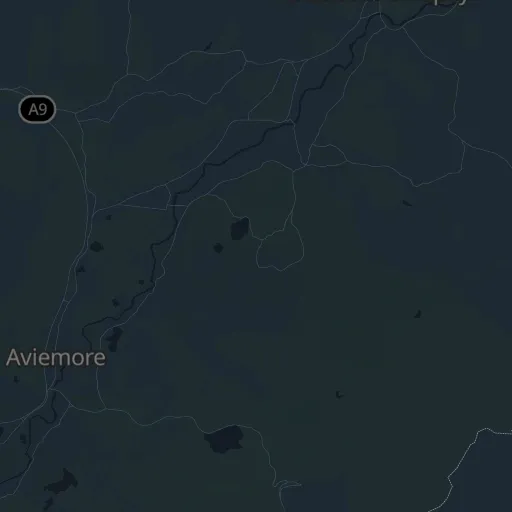
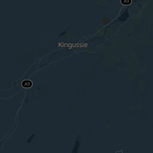
A small hill of 487m above Kingussie, walked from the town centre over a rocky summit, with views of Loch Gynack and a return through pinewoods.
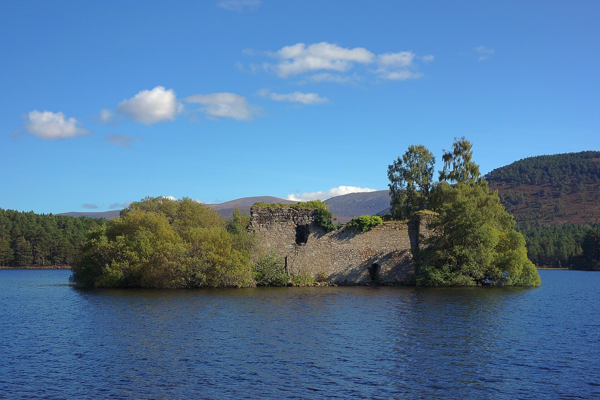
A flat, five-kilometre forest path around a loch with a ruined island castle, a popular short walk in the Cairngorms.
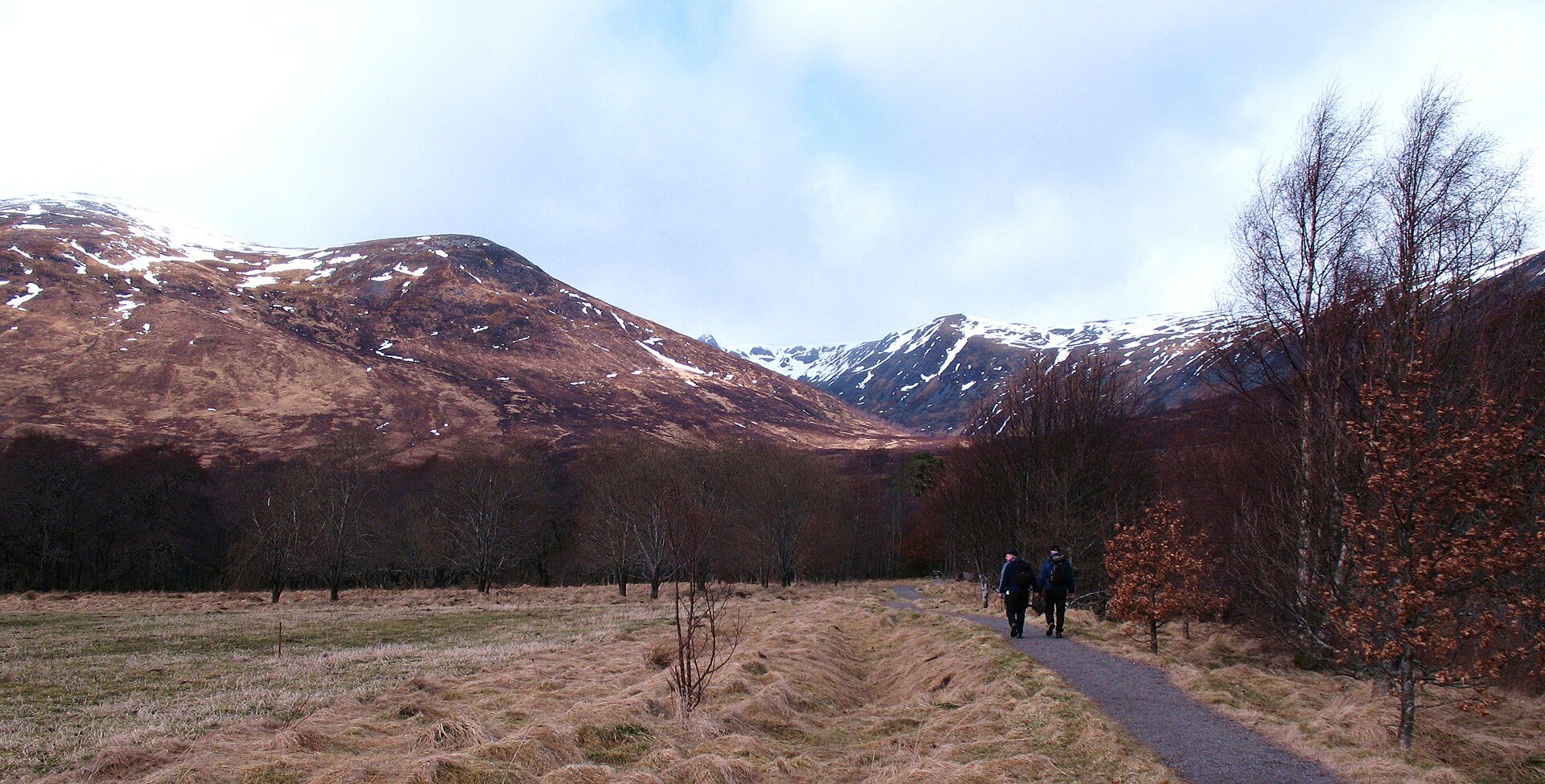
A Munro of 1,128m above Loch Laggan, climbed from Aberarder through a regenerating national nature reserve, with the Window and a cliff-ringed corrie.
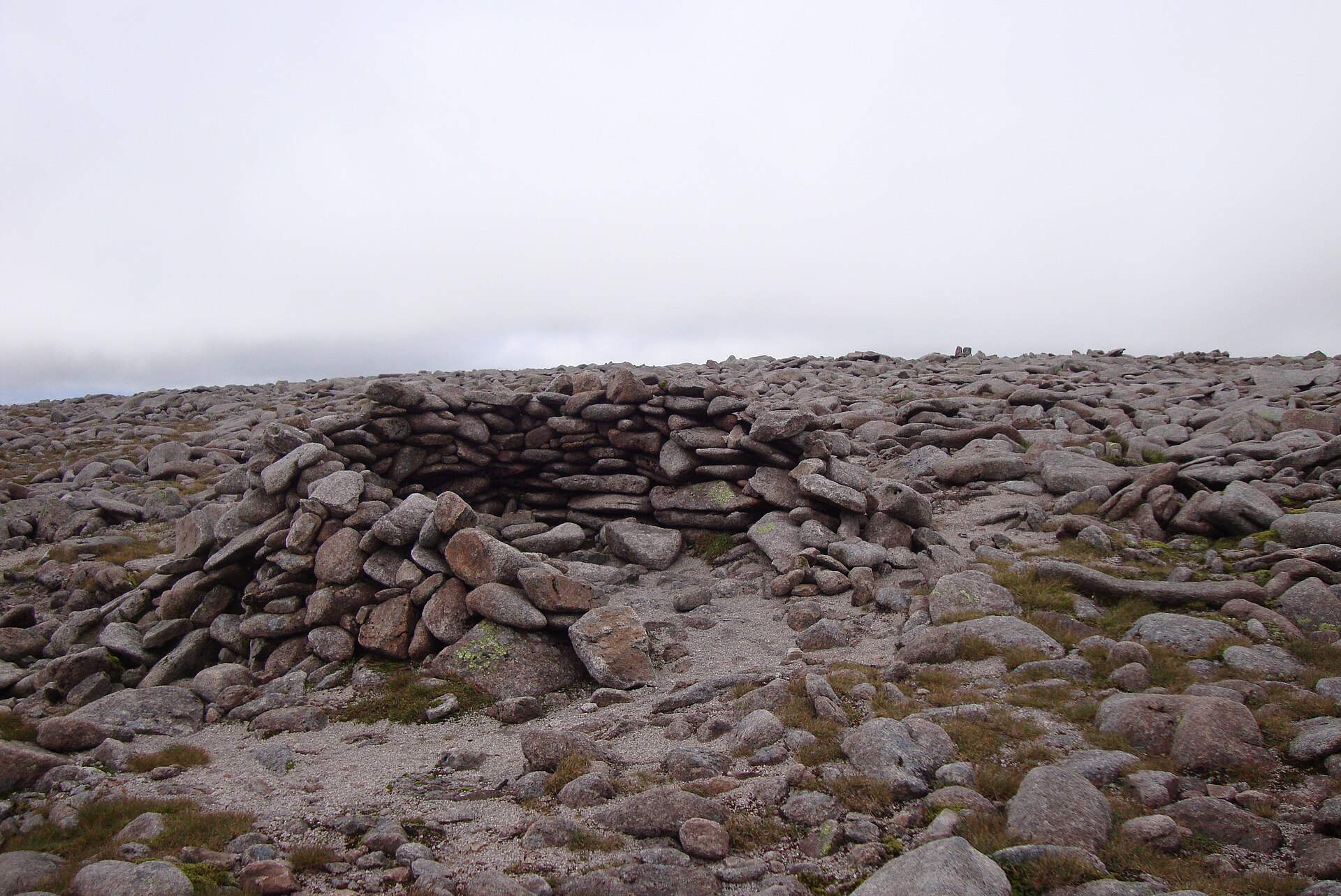
Britain's second-highest summit, reached across the exposed Cairngorm plateau from the Coire Cas car park, taking in Cairn Gorm too.
Reached by car, by lift or by a short walk, rather than a day on the hill.
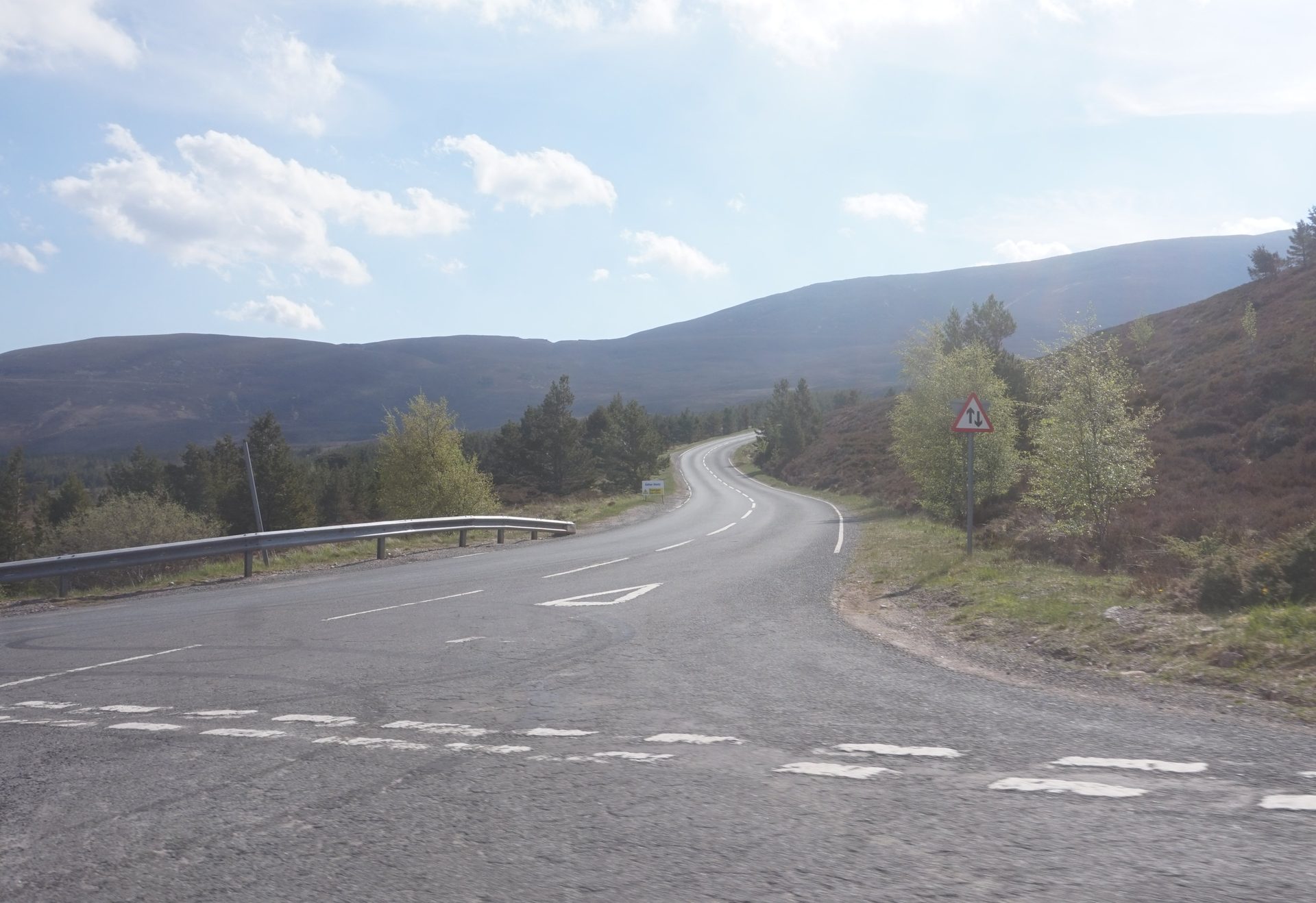
A public road from Glenmore to a car park at 635 metres below Cairn Gorm, with views back over Strathspey.
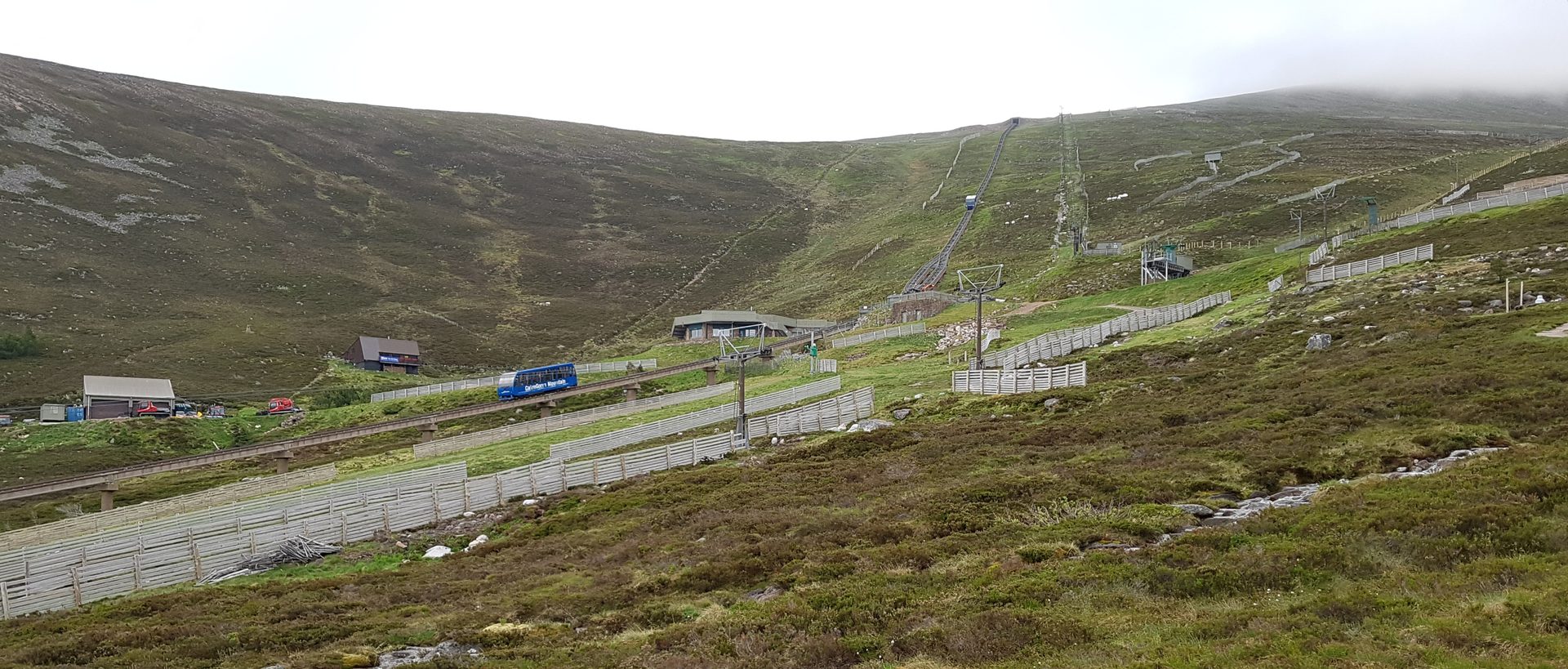
Britain's highest railway, climbing from Coire Cas to the Ptarmigan building at 1,097 metres on the shoulder of Cairn Gorm.
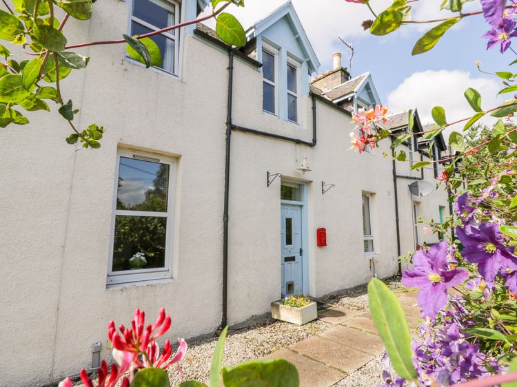
Kingussie
Sleeps 4 · 2 beds
Nearest walk: Creag Bheag from Kingussie, under 1km
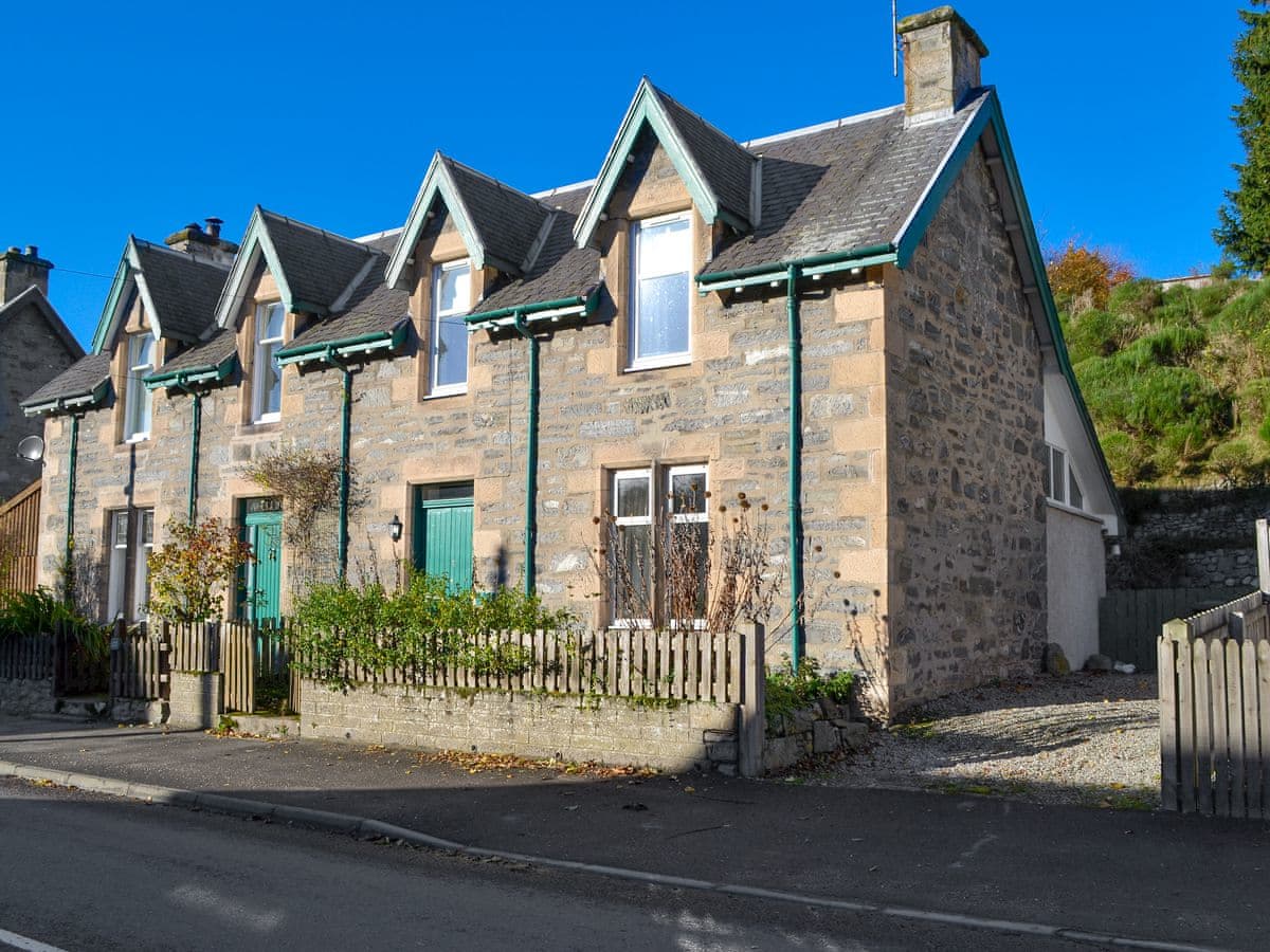
Kingussie
Sleeps 4 · 2 beds
Nearest walk: Creag Bheag from Kingussie, under 1km
from £437 / week
Checked 1 Nov
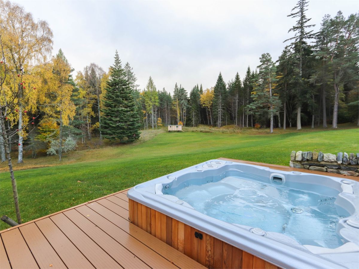
Kingussie, Northern Scotland
Sleeps 14 · 7 beds
Nearest walk: Creag Bheag from Kingussie, 2.7km
from £5,099 / week
Checked 1 Nov
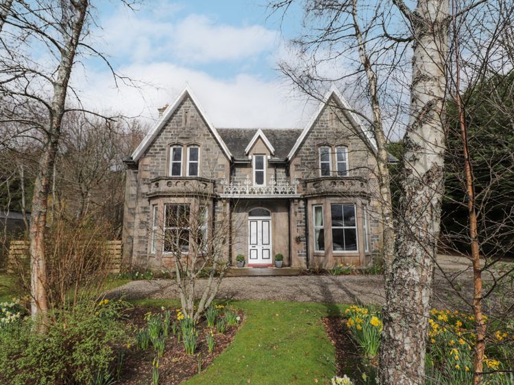
Kingussie
Sleeps 10 · 5 beds
Nearest walk: Creag Bheag from Kingussie, under 1km
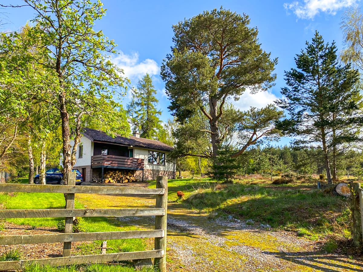
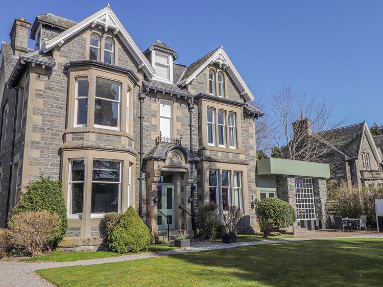
Inveruglas
Sleeps 4 · 2 beds
Nearest walk: Creag Bheag from Kingussie, 4.2km
from £493 / week
Checked 1 Nov
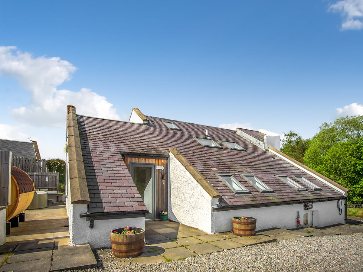
Inveruglass
Sleeps 8 · 3 beds
Nearest walk: Creag Bheag from Kingussie, 4.2km
from £1,937 / week
Checked 1 Nov
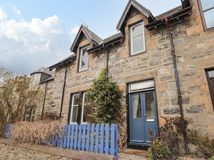
Kingussie
Sleeps 4 · 3 beds
Nearest walk: Creag Bheag from Kingussie, under 1km